Wurbus
-
Posts
551 -
Joined
-
Last visited
About Wurbus

Recent Profile Visitors
2,754 profile views


-
I wound up having 3 storms roll over my house and got 3.12" yesterday. That is more than I received during the entire month of June (2.72"). My yard was starting to bake in the Summer heat but this should help it out for at least a week.
-
It's far out there and probably won't happen, but happy hour delivered for East TN, NC, & VA.
-
Way out there, but 12z GFS has snow along the gulf coast in early March. That would be impressive! Adding to an already historic winter there.
-
I wound up with about 1.5" here in Knoxville. Roads are mostly fine, but could be a mess late tonight and early morning if moisture is still lingering. Also wanted to mention if you look at the US winter map warnings, there is extreme cold warnings down all the way from Manitoba to southern TX, except for southern half of South Dakota. Kind of odd they didn't issue any there, similar to the Chattanooga area not receiving a WWA until this morning.
-
Yeah. Someone mentioned earlier about all of the bad signals for East TN and I agree. These types of systems typically just don't perform well here.
-
Don't look at the 9pm plumes for Knoxville. Mean cut in half to .2 qpf
-
Just took a look at the SREF's and ,unsurprisingly, it appears the greater valley has mixing issues. Not 100% sure it will happen, but it does happen as energy transfers around here quite a bit.
-
Look at it this way.....The CMC is due to be right once.
-
I wound up with 3.1" the past 2 days. Was a weird event because it basically rained for 48 hours straight, but it was mostly light-moderate rain. The highest rate I had was only .38" an hour.
-
Euro AI has it as well. Warm nose straight up the Eastern valley while everyone around us looks to be snowing.
-
I've been waiting for a dishwasher to be scheduled for delivery for a week and half now. They called today and scheduled it for Feb 14th, so I bet we get a snow on the 13th or 14th.
-
ICON was a big nothing burger for the Tuesday system. Suppressed to all hell and doesn't get a good phase. Even had some snow south of New Orleans in the gulf lol
-
Yeah, GFS has to be out to lunch at this point
-
CMC/ICON is going to be similar, but the CMC is more juiced. Kuchera snowfall maps are going to be off the charts from TX to NC.
-
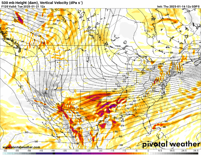
The difference between the GFS & CMC at 120 hrs is staggering at the 500mb level.