Frog Town
-
Posts
968 -
Joined
-
Last visited
Content Type
Profiles
Blogs
Forums
American Weather
Media Demo
Store
Gallery
Everything posted by Frog Town
-

Pre-Christmas (Dec 21-23rd) Winter Storm
Frog Town replied to Chicago Storm's topic in Lakes/Ohio Valley
Anyone thinking there could be a secondary low development further south?? Could explain why less moisture is making it north. -
Pre-Christmas (Dec 21-23rd) Winter Storm
Frog Town replied to Chicago Storm's topic in Lakes/Ohio Valley
You referring to the incoming Euro? -
Pre-Christmas (Dec 21-23rd) Winter Storm
Frog Town replied to Chicago Storm's topic in Lakes/Ohio Valley
I notice the NAM is a bit slower with the SLP at 84 hours. Would this argue towards a further East solution? -
Pre-Christmas (Dec 21-23rd) Winter Storm
Frog Town replied to Chicago Storm's topic in Lakes/Ohio Valley
Again, you can't let the Operational(especially the GoFuS) get you down. The ENS of that model actually has the SLP going over CLE. This would still provide the Sub with an awesome storm. This should start to tighten up in about 36 hours. Patience.. Last night 18Z GFS had it over PIT -
Good point, but a counter point is this is NOT a typical pattern we are entering so CLIMO is off the table so to speak.
-
Pre-Christmas (Dec 21-23rd) Winter Storm
Frog Town replied to Chicago Storm's topic in Lakes/Ohio Valley
I may be mistaken, but wasn't that 2002? I only remember cause I just bought a new house and was up all night painting. -
Pre-Christmas (Dec 21-23rd) Winter Storm
Frog Town replied to Chicago Storm's topic in Lakes/Ohio Valley
Basically you should be happy if your state is covered in blue at this juncture. -
Pre-Christmas (Dec 21-23rd) Winter Storm
Frog Town replied to Chicago Storm's topic in Lakes/Ohio Valley
This is still the only thing we should be looking at right now....patience, or you'll be disappointed. Carry on. -
Pre-Christmas (Dec 21-23rd) Winter Storm
Frog Town replied to Chicago Storm's topic in Lakes/Ohio Valley
Thought this one might draw you out! -
Pre-Christmas (Dec 21-23rd) Winter Storm
Frog Town replied to Chicago Storm's topic in Lakes/Ohio Valley
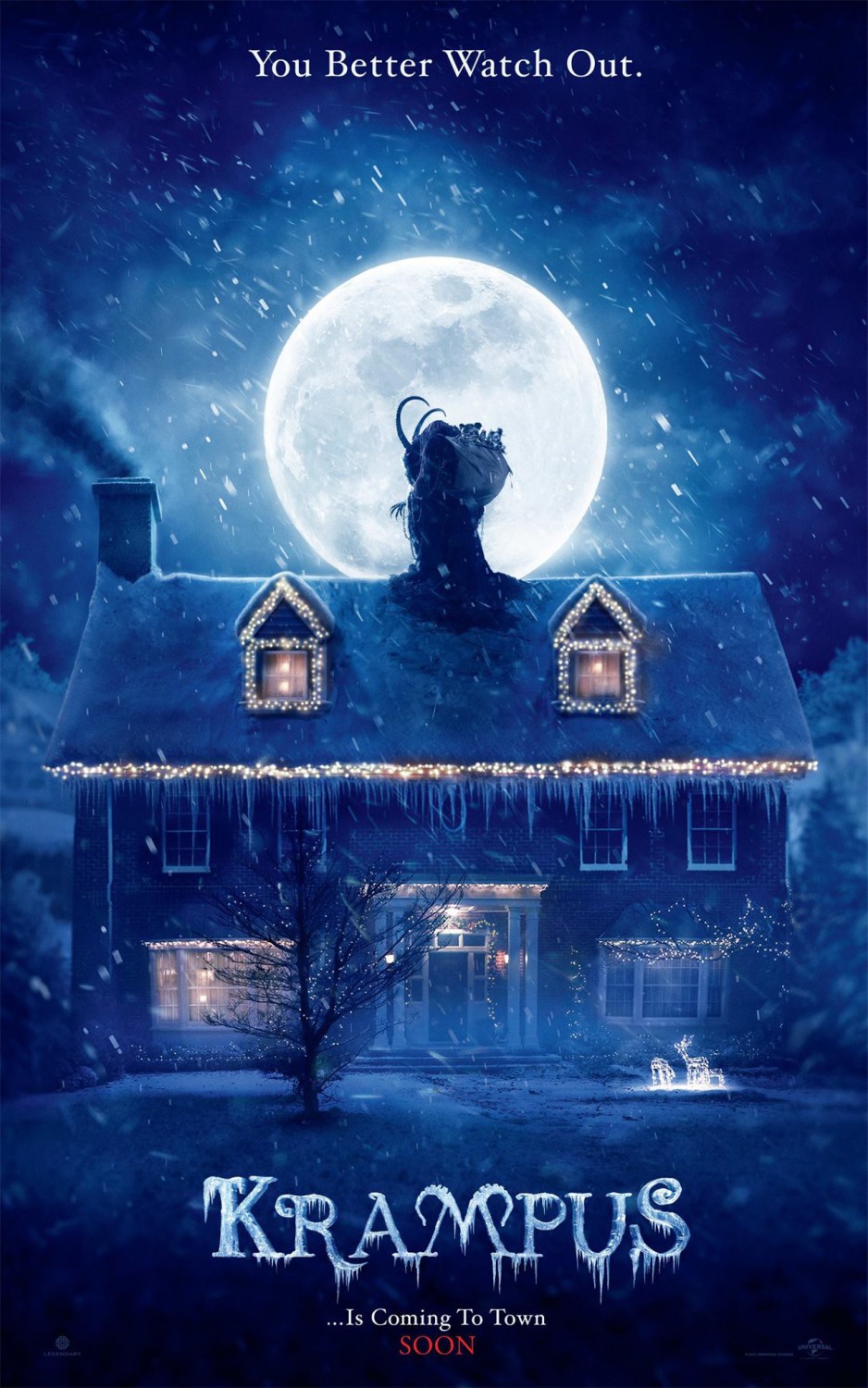
Final call time, huh? 11" imby with 50+ wind gusts along with temps crashing to single digits. Krampus is coming...
-
Great perspective, and insight, thank you!
-
Pre-Christmas (Dec 21-23rd) Winter Storm
Frog Town replied to Chicago Storm's topic in Lakes/Ohio Valley
Nice to have a local met rooting my area. 2017 was a cold pattern starting in early December so the robust clipper that dropped 5" in our area Christmas was nice, but to have this bigger threat a few days out this year is pretty cool as well. -
Hard to argue with these stats. https://www.wtol.com/article/weather/climate-friday/white-christmas-chances-on-the-rise-for-2022-climate-change-impacts/512-6776cb3a-ea20-4fd5-bc12-b25b19c6b080
-
Pre-Christmas (Dec 21-23rd) Winter Storm
Frog Town replied to Chicago Storm's topic in Lakes/Ohio Valley
What? That looks totally normal to me.... -
Pre-Christmas (Dec 21-23rd) Winter Storm
Frog Town replied to Chicago Storm's topic in Lakes/Ohio Valley
Still think the low ends up a bit further east looking at the EPS Low cluster. Regardless we all cash in for some pre-christmas magic -
The mid Ohio folks are always stuck between an aps runner or a cutter. Ya'll need a west to east bowling ball patter. This one is a nail biter for you.
-
Pre-Christmas (Dec 21-23rd) Winter Storm
Frog Town replied to Chicago Storm's topic in Lakes/Ohio Valley
I know I speak for most here when I say I don't want to see this solution hold day after day only to have it fall apart within 2 days. Not saying it will, but I feel like that has been the trend over the years. -
Winter 2022/23 Medium/Long Range Discussion
Frog Town replied to Chicago Storm's topic in Lakes/Ohio Valley
CAD will also = Sun Shine which has been absent lately. -

-
Winter 2022/23 Medium/Long Range Discussion
Frog Town replied to Chicago Storm's topic in Lakes/Ohio Valley
If we can just get something special to come in on the front end of this, we'll be golden! -
Winter 2022/23 Medium/Long Range Discussion
Frog Town replied to Chicago Storm's topic in Lakes/Ohio Valley
Agreed! The professional insight, and pause, these guys offer is greatly appreciated. -
I can't believe how depressed I get with this crappy pattern. It's like part of me is still a kid.
-
Winter 2022/23 Medium/Long Range Discussion
Frog Town replied to Chicago Storm's topic in Lakes/Ohio Valley
The only way I'll forgive this cluster #$%@ of a pattern is if we get buried Christmas Week, otherwise I'm giving up on this shitty start to the Winter.... One month down 2 to go I guess. Where the hell is the banter thread! It's never been needed more sub forum wide. -
Holy crap! You weren't kidding. If I recall correctly, 2013-2014 started in a similar way. Cold was forecast then it kind of took it's time a bit, and then WHAM! November of that year had a few cold out breaks around Thanksgiving, then It was up and down with a descent snow in early December before it got epic around the holidays. We shall see..
-
I always thought it was cool how Grand Rapids does an extended prelude! Actually starting to get a bit excited, considering my state of mind at this time last year, staring down the barrel of december torch. "Change to colder follow next big storm This is where it gets interesting. Due to the MJO going into Phase 8, which is cold for a large part of the central and northern CONUS we are likely to get back into the deep freeze after the 6th of December. This is well supported by the ensembles of both the GFS and ECWMF. In fact the latest model runs show part of the northern Midwest into Montana with a 5 day departure from normal over 20 degrees below normal! We will need to watch this closely, this could have significant impacts on our area."