

Hoosier
-
Posts
47,183 -
Joined
Content Type
Profiles
Blogs
Forums
American Weather
Media Demo
Store
Gallery
Posts posted by Hoosier
-
-
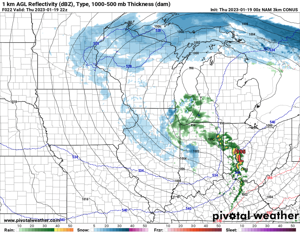
A lot of insolation in much of the threat area.
-
Don't exactly have a lot of cold air around initially. But barring a radical change in evolution (like toward a cutoff), it looks cold enough for a good swath of snow wherever it may be.
-
2 hours ago, Chicago916 said:
This storm is doomed. Sunday will outperform this one.
Funny, I first thought this thread was for the weekend system.
-
Enhanced risk for wind is pretty impressive to see in an area where dews will be in the 40s.
-
Day 1 is out. imo, risk area should be expanded a little bit west in eastern IN.
-
1 hour ago, Malacka11 said:
Failing that, though, my vote is for you as thread starter
I think I'm gonna start it.

-
Although been focusing on tornado potential, wind threat looks higher than what occurred in Iowa a couple days ago. Should have substantially more convective coverage this time and mode looks like it will get messy.
-
Thought I'd post this because, well, it's kind of cool. We could be talking about severe wx/tornadoes occurring near the 540 line. Not something you see everyday, and it is a reflection of how cold the low-mid levels are.
-
 1
1
-
-
58 minutes ago, mimillman said:

I believe
-
Took a look at tomorrow's setup, and I definitely think there is some tornado potential. Once again we are looking at marginal moisture (dews may actually remain in the 40s this time in the threat area, unlike Iowa where dews managed to surpass 50) but ample low level CAPE along with good shear.
The HRRR/RAP are again more bullish than other models with dewpoints. Observational trends tomorrow will be key.
-
Omg it's gonna snow this weekend.
-
23 minutes ago, SnOvechkin said:
Huh? These are all part of the Ohio/lakes board. And now I see a 'short/medium range SEVERE weather thread' as if it couldn't be contained in the other short/medium range thread. And I can only assume the same is done for medium/long range SEVERE vs. the other medium/long range. Good grief
You missed the big fighting with Ohio in the past.
-
I'm sure you would've gotten to this one at some point, but there's no time to wait. The word must get out there.
Lowest snowfall through 1/17:
1. 1.3" 2012-13
2. 2.4" 1912-13
3. 2.7" 1936-37
4. 3.4" 1889-90
5. 3.6" 1943-44
6. 4.3" 1901-02
7. 4.6" 1905-06
8. 4.7" 2022-23
8. 4.7" 2001-02
9. 4.8" 1982-83
9. 4.8" 1922-23
-
56 minutes ago, RogueWaves said:
BUT....this year's been pretty high suckage. We all know that constant snow cover at our LAT(s) is a very low percentage occurrence of all seasons. That's why I call winter in SMI any time we at least have snow piles around in between the snow fall and snow depth days. So far, that has been limited to a handful of days at the end of December. Have to go back decades I think to find something this lame. Even 11-12 had yielded much more snow at this point.
Oh it's been bad. I was just being sarcastic. Solid winter wx has been harder to find than cheap eggs.
-
1
-
-
Is this going to be an all-encompassing thread for Chicago records (snowfall, temps, precip) or just snow futility?
-
Even the all-time futility winter back in the 1920s had a snow depth over 2" by this point.
Sad
-
1
-
-
4 minutes ago, beavis1729 said:
Correct. Thank you for confirming via yet another data point how horrible our climo is - mission accomplished.
You might have a stroke if you hang around this thread long enough.
j/k
-
Exciting times
Getting on some snowfall futility list prior to late January/February seems like it's becoming an annual occurrence.
-
1
-
 1
1
-
-
46 minutes ago, ILSNOW said:
12z Euro total snow Chicago maxes out at 1 inch

Meanwhile yesterday 12z run was good for Chicago.
Main thing I'm looking for is an active look for the sub. Don't want to see that evaporate. Details can be figured out later.
-
1
-
-
TT is very annoying. Would never use it in mixed precip scenarios. I've seen times when people have posted a TT map showing like 18" of snow in central Mississippi or something crazy like that. Without even digging in, you can pretty well assume that it's not all snow.
-
2
-
-
It's the throw crap at the wall pattern. Should remain pretty active overall. I'd be surprised if we don't score at least once.
-
2
-
-
14 minutes ago, cyclone77 said:
The way winters are going anymore I think we'll be seeing more January naders in coming years.
I'd have to agree with this. When you think about it, what are the usual limiting factors for severe wx with northward extent at this time of year? Moisture and instability. A warmer GOM (on average) would tend to lead to better poleward moisture transport... and even small changes can make a difference in a severe setup. I don't think it's likely to result in January severe wx becoming really common north of 40N, but I'm gonna bet that it won't be 56 years until the next January tornadoes in Iowa.
-
3
-
-
DVN confirmed 2 tornadoes. This is only the 2nd January on record with a tornado in Iowa... the other being 1967.
-
1
-
-
CFS is much colder now at the end of Jan into Feb.
-
1
-
2023 Short/Medium Range Severe Weather Discussion
in Lakes/Ohio Valley
Posted