eyewall
-
Posts
13,328 -
Joined
-
Last visited
Content Type
Profiles
Blogs
Forums
American Weather
Media Demo
Store
Gallery
Everything posted by eyewall
-
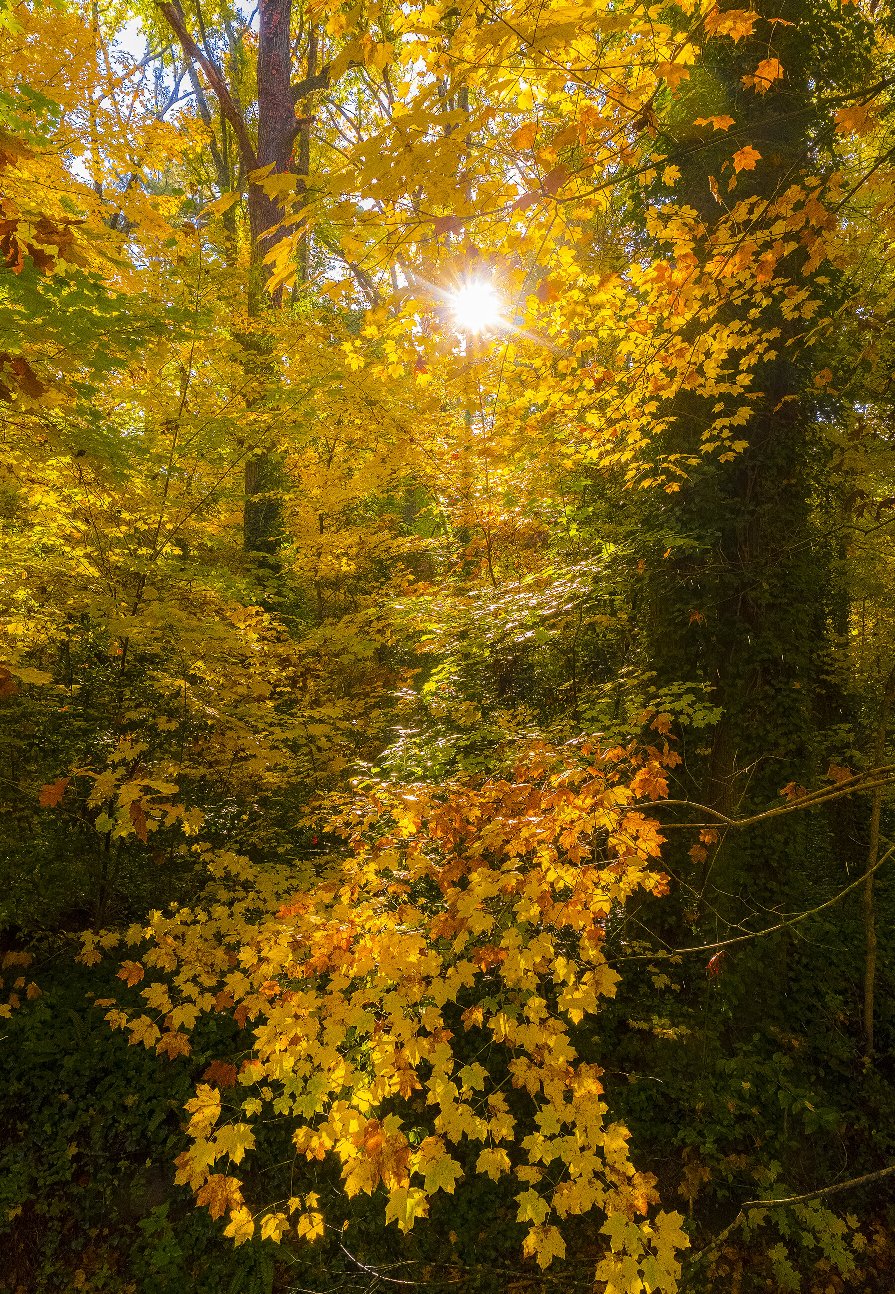
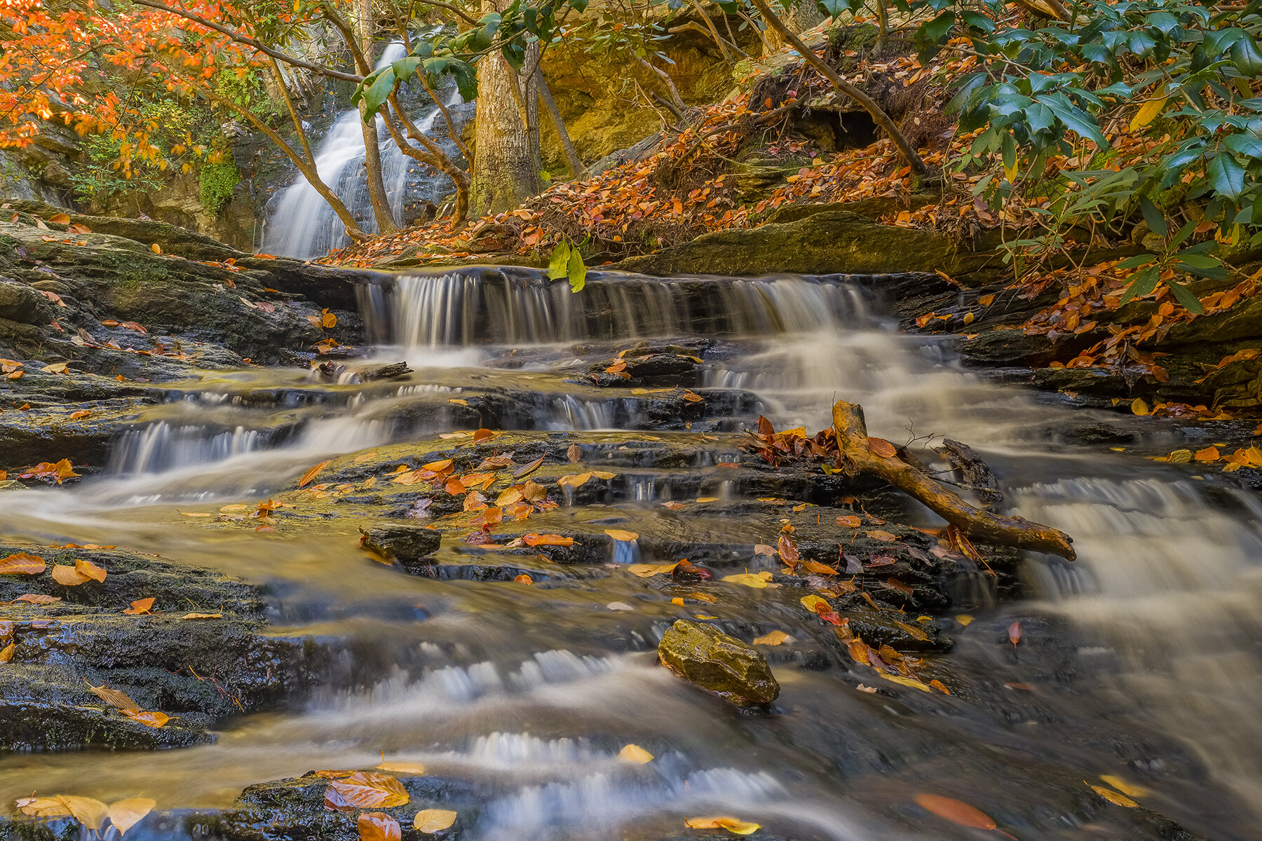
I always loved those November snow squalls. We are in full foliage season now here. Colors in my area are the best in a few years.
-
yeah it is looking pretty vibrant around here today!


-
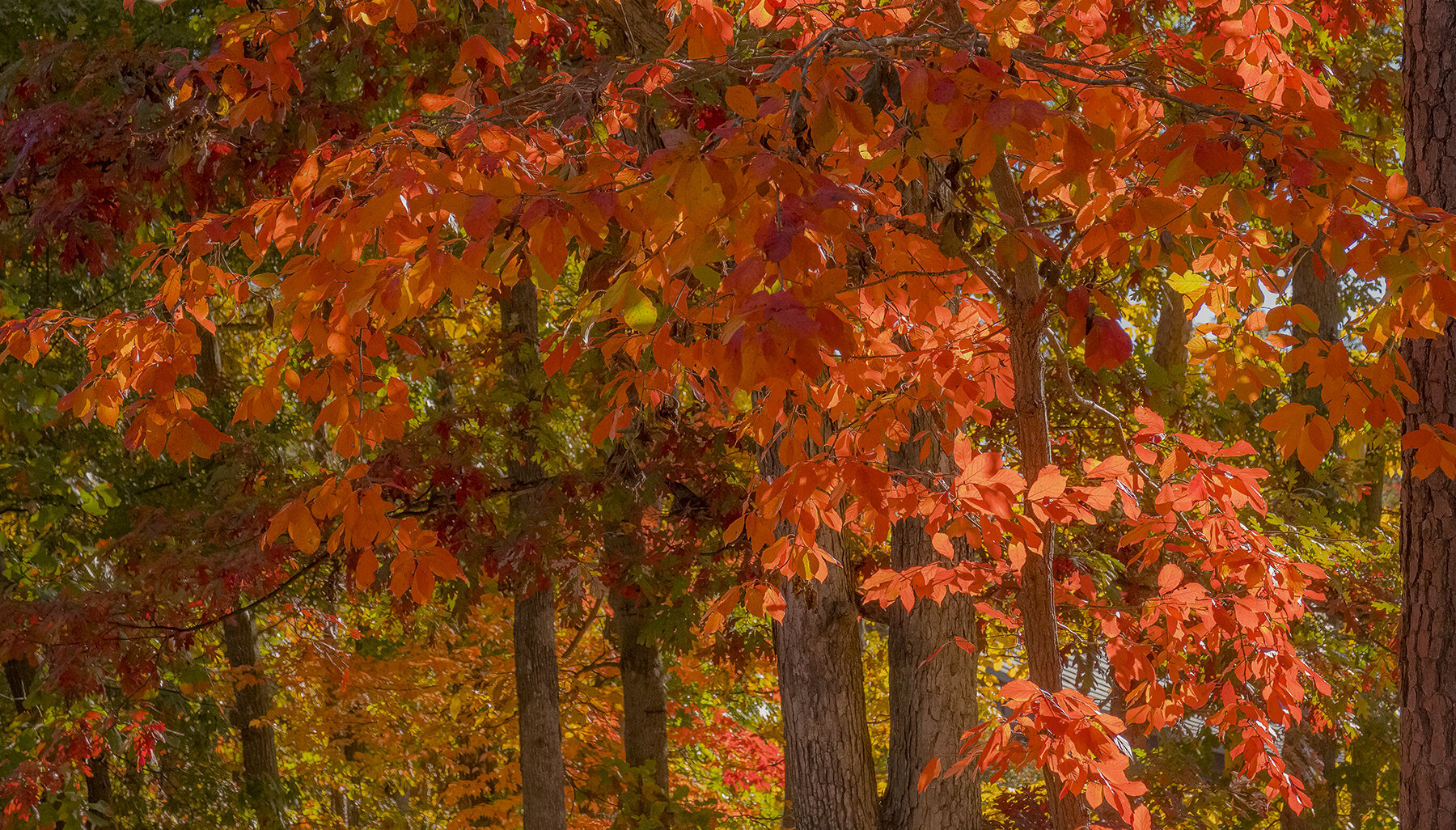
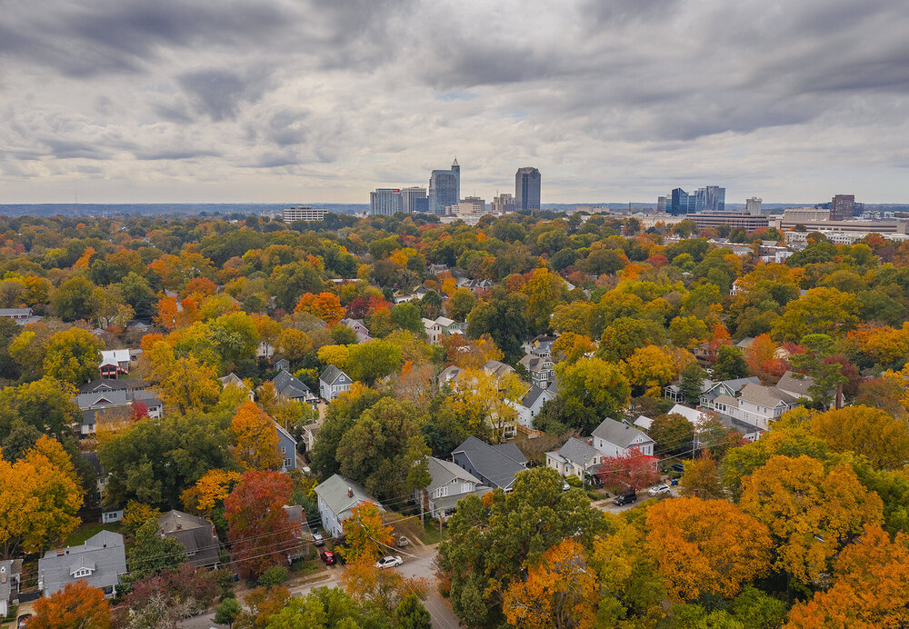
Some decent color in Raleigh now:

-
2021-2022 Fall/Winter Mountains Thread
eyewall replied to BlueRidgeFolklore's topic in Southeastern States
No snow down this way but some nice leaves around Hanging Rock: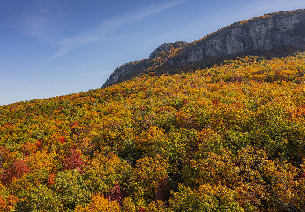

-
First frost in Raleigh this morning. We would have dropped to the 20s if the clouds didn't hang around.
-
What a beautiful image! This morning I saw some pics from the NC mountains of snowliage and we are stuck in the 40's in Raleigh. Love it!
-
According to the post they were very much naked eye visible in VT. According to spaceweather.com naked eye aurora were seen as low as 39N in CA.
-
Yeah i was on Long Island for 2003 and that was something i will never forget.
-
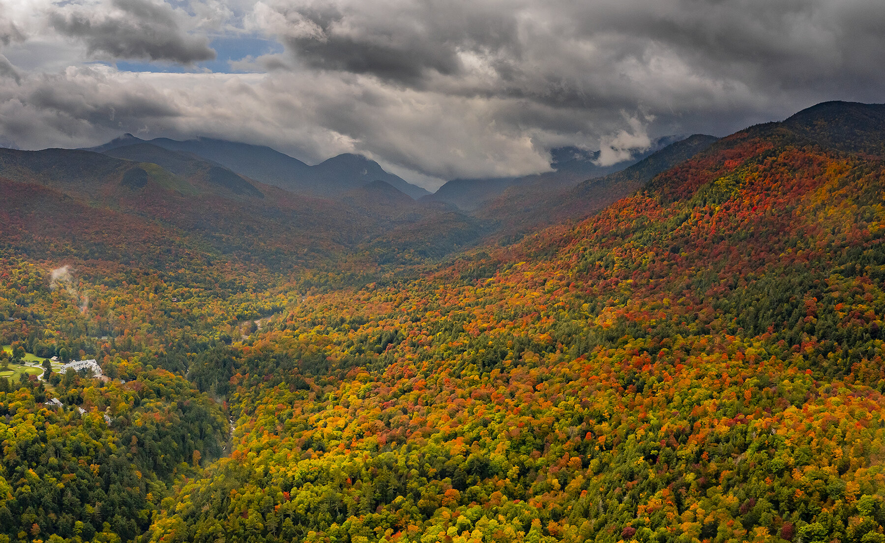
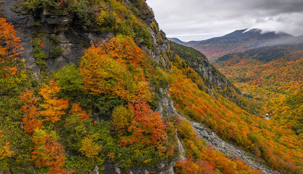
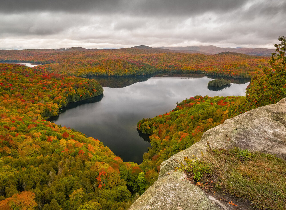
I wish I was up there as these were taken at Colchester Pond VT https://www.instagram.com/p/CV2gXW8sbN7/?utm_medium=copy_link
-
The Dakotas and Montana really got a show.
-
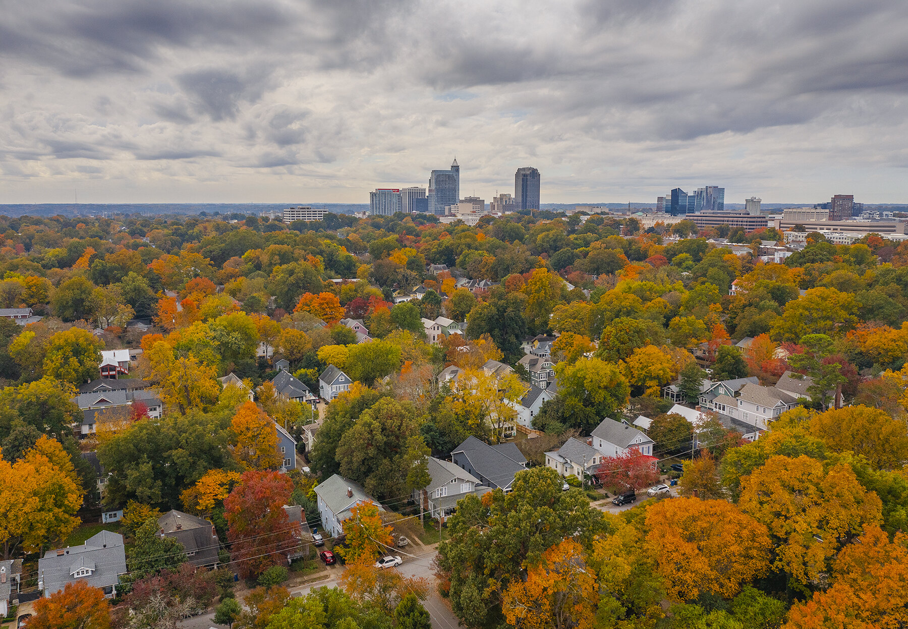
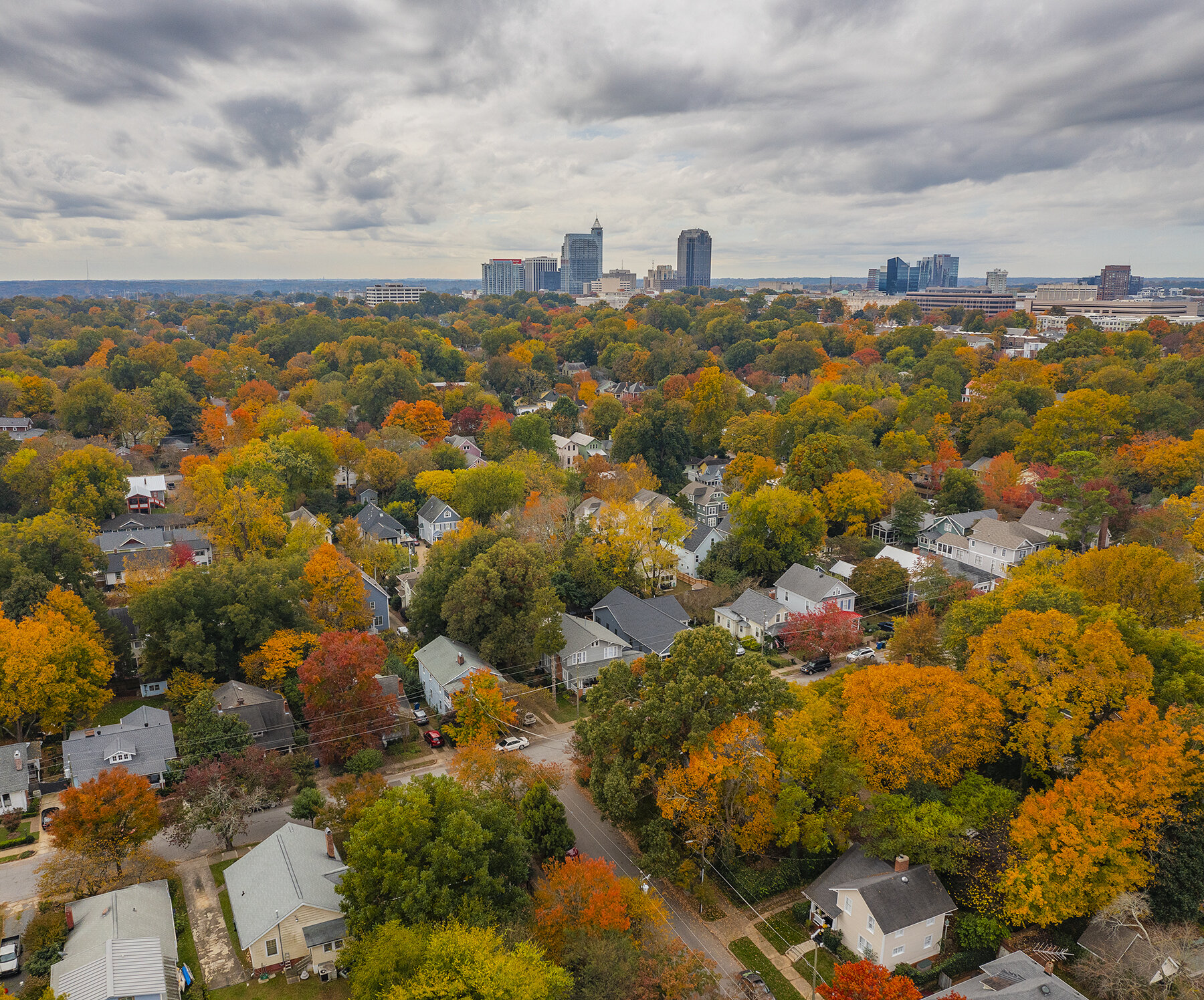
After a wonderful trip up there, it is now the season here in the NC Piedmont:


- 235 replies
-
- 5
-

-
- leaf peapers
- crisp autumn nights
- (and 3 more)
-
G3 is in progress!
-
Those were always the best, especially when it happened in October with the post-peak orange trees.
-
I miss chasing those first early events
-
It busted and hit much weaker than expected.
-
Kp7 predicted for now.
-
-
An x1 flare just occurred with a CME. We will see if it is Earthbound.
-
Severe Weather event October 23rd-27th 2021
eyewall replied to weatherextreme's topic in Central/Western States
-
Yeah I think it only works in more convective scenarios. Otherwise I have noticed when I lived in the Northeast, the big winds are when it was dry.
-
2021-2022 Fall/Winter Mountains Thread
eyewall replied to BlueRidgeFolklore's topic in Southeastern States
I am hoping it will be good coming up in Hanging Rock. It has been tough to get a good year up there recently. I guess I was just spoiled by my New England trip and also living up there for a bit. -
I am just looking forward to the cool down tomorrow night.
-
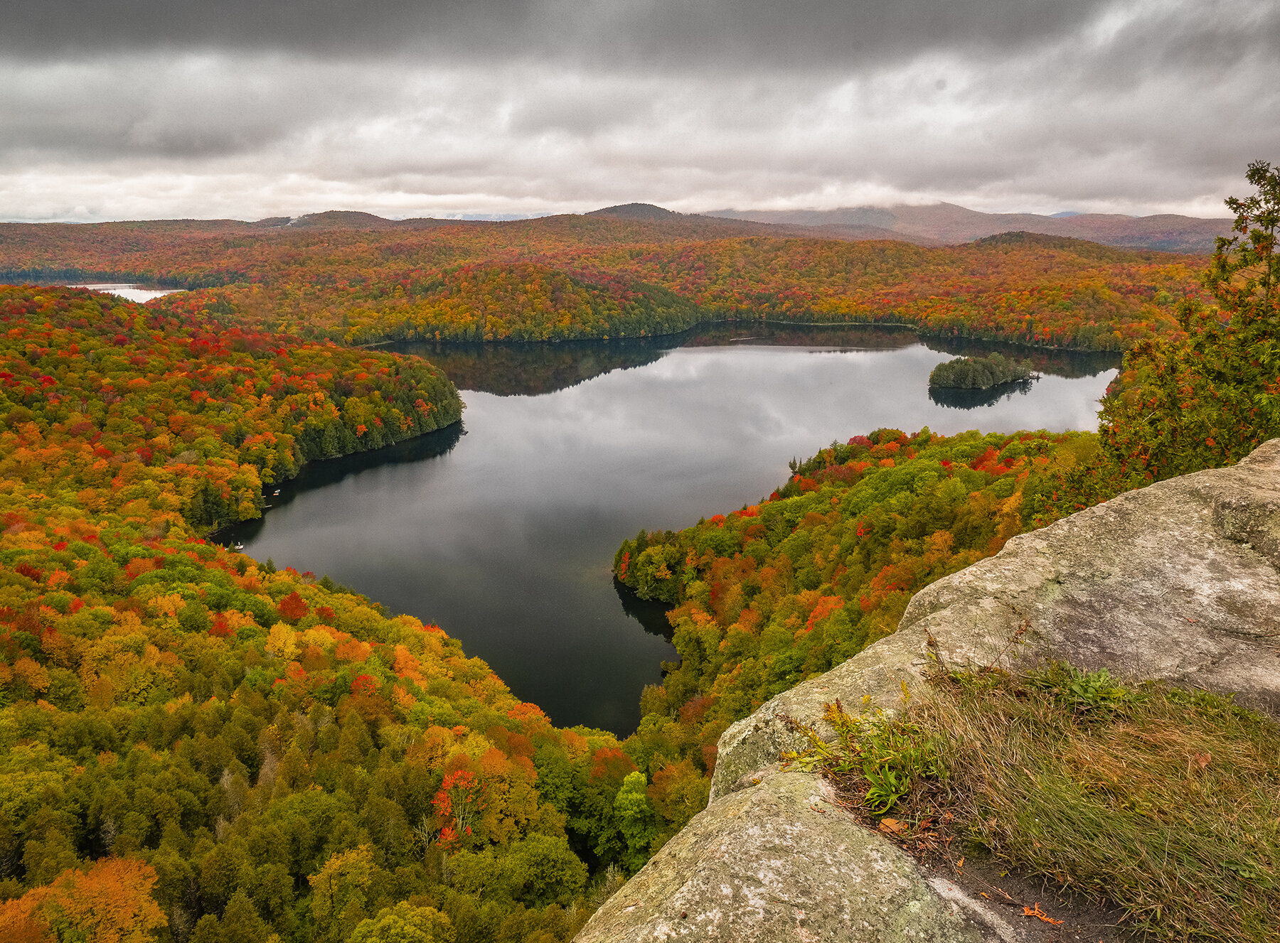
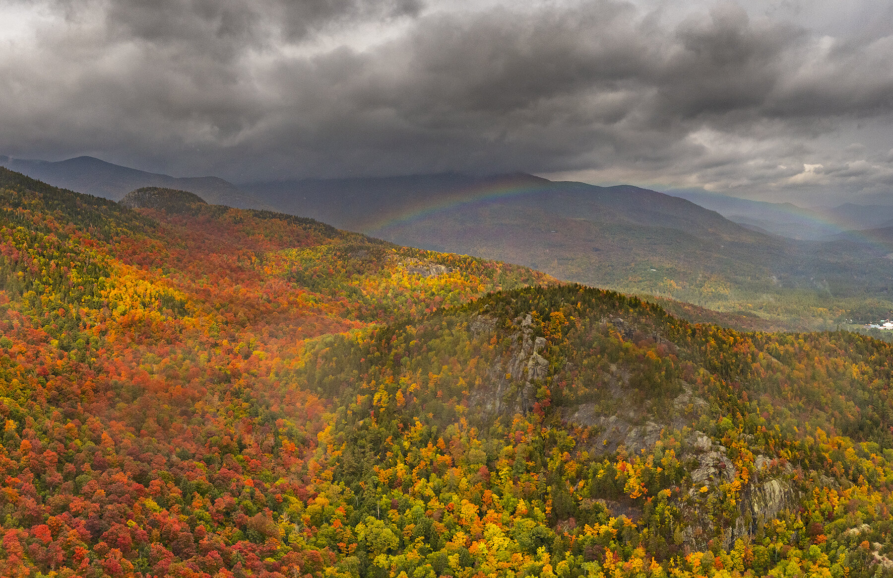
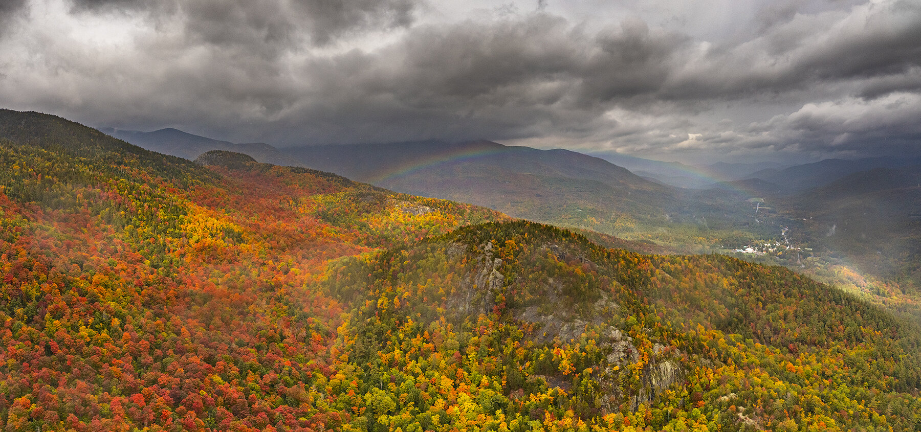
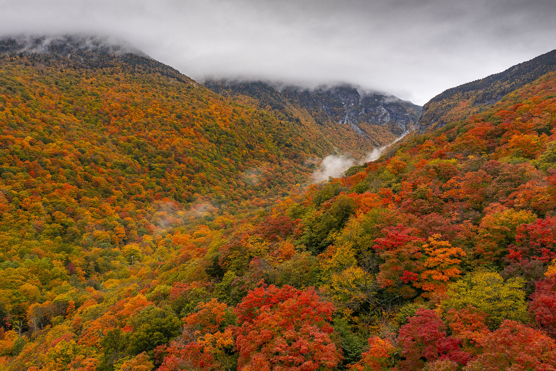
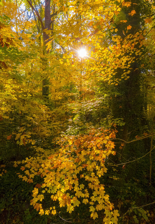
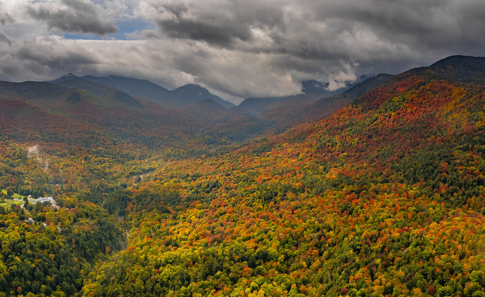
This will be my last fall 2021 post for New England as I await Hanging Rock in NC to turn. Glad I hit it at a solid time.

- 235 replies
-
- 6
-
-
- leaf peapers
- crisp autumn nights
- (and 3 more)
-
Yeah we will probably squeeze out one minor event like the last two years if we are lucky.
-
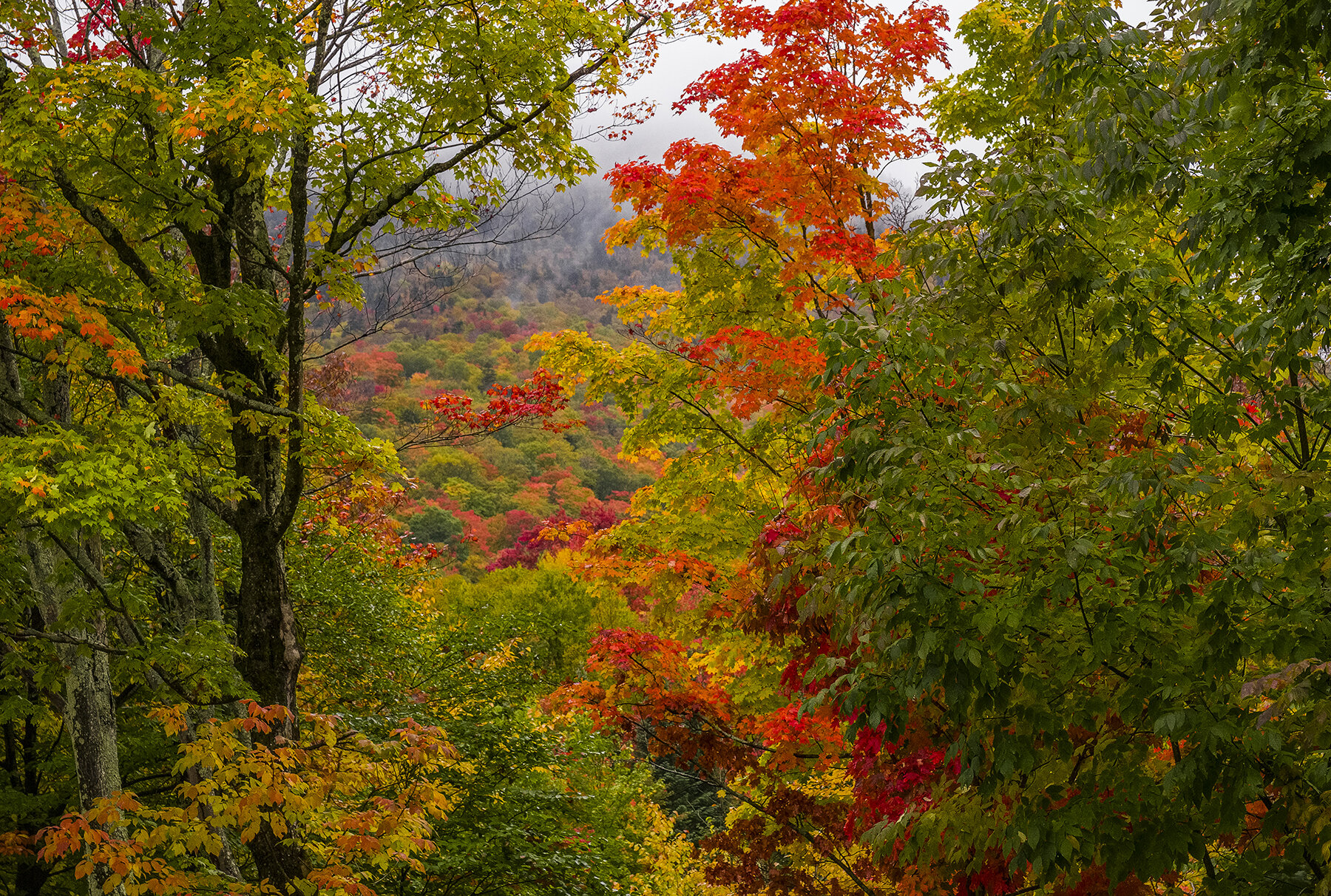
The final few:
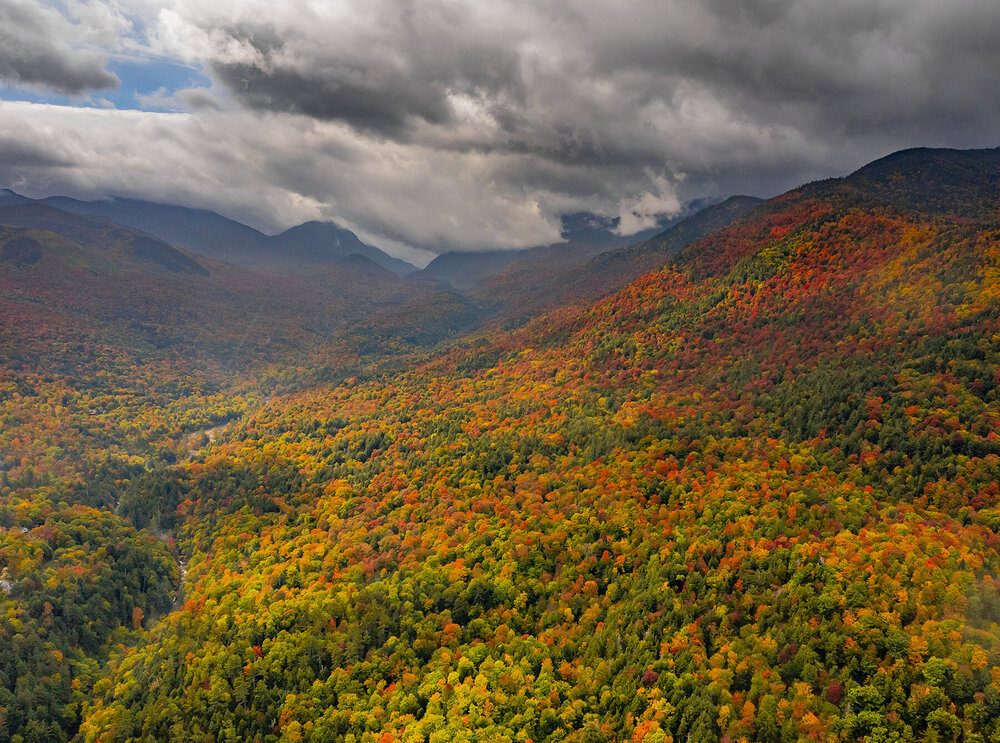


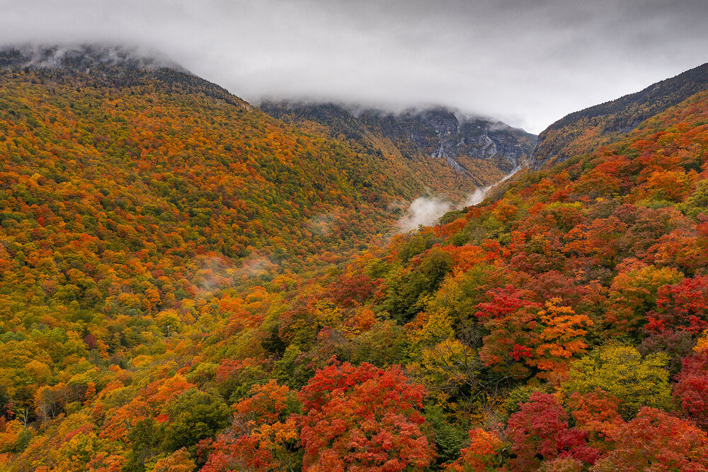
- 235 replies
-
- 7
-

-
-
- leaf peapers
- crisp autumn nights
- (and 3 more)