eyewall
-
Posts
12,466 -
Joined
-
Last visited
Content Type
Profiles
Blogs
Forums
American Weather
Media Demo
Store
Gallery
Everything posted by eyewall
-
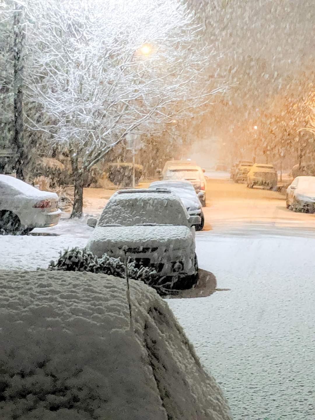
can we get some blizzard footage or pics in this thread?
- 1,932 replies
-
- 2
-

-
- heavy snow
- wind damage
- (and 1 more)
-
I am wondering if a Boone trip is in order tomorrow for the upslope.
-
I hate 30's and rain! There is nothing worse when it comes to the weather. It sucks that we had the soil temps primed and CAD in place. We just couldn't pull off a solid Miller A. Now we battle sun angle and soil temps going forward as time runs short.
-
The misery of cold rain is here in Raleigh. I hate this crap. Give me a miller A.
-
Yeah this is still a blown opportunity though. We needed a Miller A with ground now cold and everything primed.
-
This weekend storm is a front ender for most anyway and those suck because you lose everything you get to rain. It will be a non event in Raleigh from the start anyway.
-
It is unfortunate we couldn't pull in a Miller A with the ground now primed. Anyway I am expecting a non event here and front enders are always lousy anyway because you lose whatever falls to rain in the end.
-
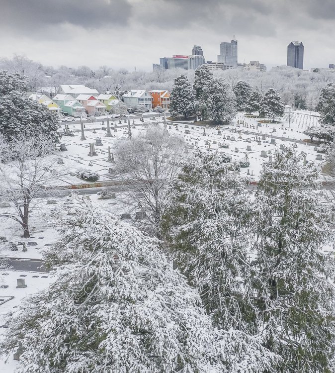
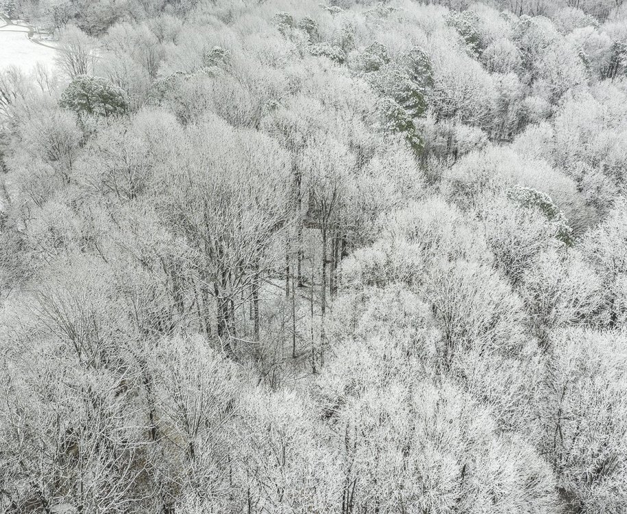
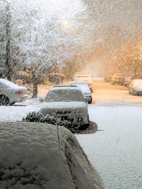
I still check in here as I will always miss my time in VT. Here in North Carolina we cashed in on dynamical cooling overnight:
-
RAH talking about soil temp issues in January but also mention the fast storm motion and non ideal parent high position: Today`s probabilistic guidance from the GEFS has increased storm total snowfall accumulations quite a bit but EC ENS is a bit more reserved and more realistic looking. There`s a handful of factors that would lend themselves toward lower snow totals. The lack of a strong surface ridge over eastern Canada is concerning and while there is cold air upstream, we`d be much more confident in significant snow totals if the ridge was parked over Ontario vs Manitoba. Secondly, the surface wave rapidly moves out of the area and offshore, really only giving us a good 6 hours of snow potential vs a slower moving system. Surface soil temperatures aren`t overly cold either (40s) but that could be overcome with intense snow rates. Overall given the variety of solutions out there, erring on the lower end of the distribution seems to be prudent at this time.
-
GEFS has 90-100% for 1"+ in Raleigh and 70-80% for 3" plus. If I was forced to make a call now, I would say something along the lines of 1-3" for Raleigh right now
-
I think the GFS will be renamed the WTF model soon.
-
yeah pretty much. You have to worry about sun angle busts at that point.
-
Based on the overall northward trend which shifts the snow axis well into VA.
-
It is over for NC. It will be the usual crap, 38F-42F and rain.
-
Yep and quite the opposite out here.
-
And just like that hope vanishes again.
-
Alright so are we all meeting up in Richmond on the 28th?
-
I know I was just happy to be out there. I paid for my skiing habit by driving Uber in Burlington PT when it was worthwhile.
-
So it looks like we have burned much of prime climo time and it is on to February. It won't be long before we have to fight sun angle etc. The GFS had a light event at month's end but obviously that is fantasy range.
-
GFS essentially says lights out for much of the remainder of January.
-
Today's rain was originally modeled as a big snowstorm. Remember that.
-
yeah I am kind of pissed I missed that opportunity LOL.
-
Congrats Austin, TX with 5 inches of snow lol.
-
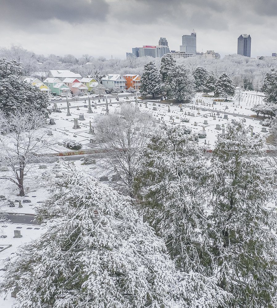
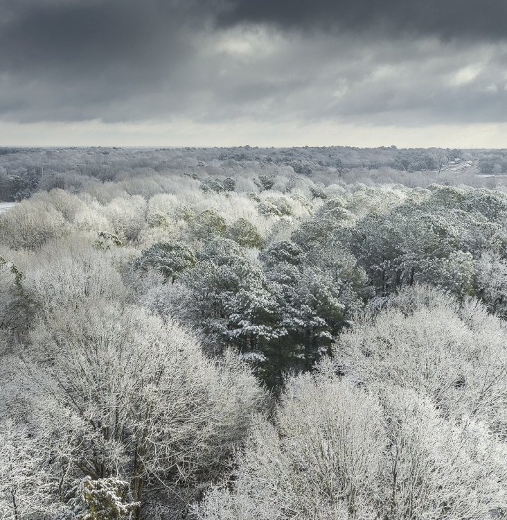
Great shots and beautiful lighting.
-
Looks like Waco, TX is going to have a better winter than Raleigh.