eyewall
Meteorologist-
Posts
12,466 -
Joined
-
Last visited
Content Type
Profiles
Blogs
Forums
American Weather
Media Demo
Store
Gallery
Everything posted by eyewall
-
The mean is definitely better than the op. Definitely a step in the right direction.
-
We need it to wait a little longer before going neutral to get the phase farther southwest.
-
Not huge amounts but respectable even if the low cranks a bit late. Definitely an improvement.
-
And as I said the comma head delivers after the rain. This is what you want. A solid Miller A:
-
Much better spot for the phase. The thumb ridge in the SW collapses a bit more this run allowing more of a dig. The downside is more in the way of rain for central NC but those details come later. Everyone forgets there was a lot of rain first in the Carolina Crusher before the epic comma head.
-
Looks like our wave is over the 4 corners on Thursday (similar to the 84hr NAM):
-
One thing we know is this likely not going to be a Murphy to Manteo event. There will be winners and losers if there any land impacts in NC at all.
-
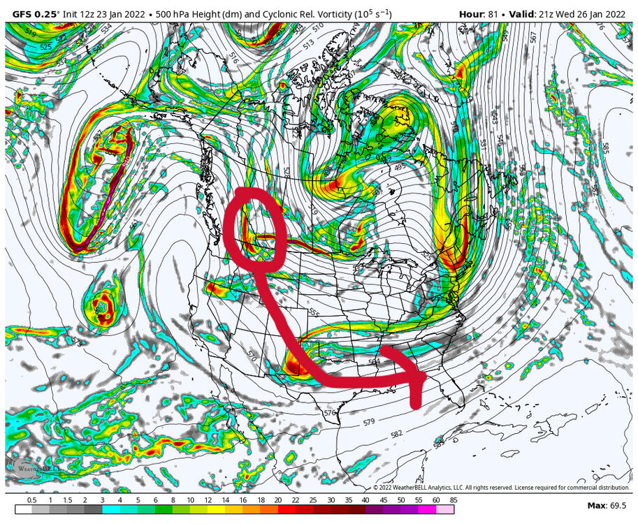
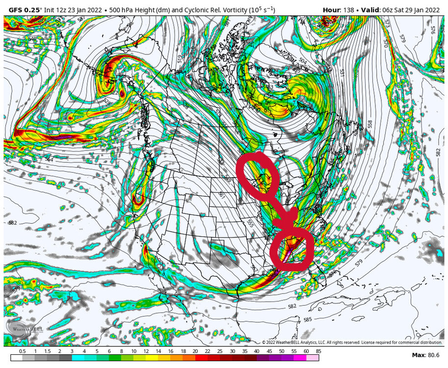
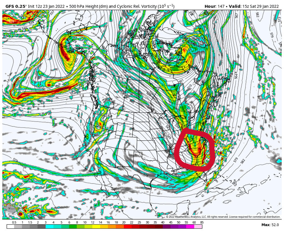
The first image shows the GFS modeling of the fist vortmax. The second image shows the first wave moving east through the Gulf region as the next piece of energy comes in quickly through the lakes. The final image shows the phasing occurring. Shift this a bit west and we are in business.
-
The signal continues. We will see if we reel it in this week. The timing seems a bit faster lately. The first key piece of energy comes out of western Canada early this week around Tuesday or so. That piece will drop into the southwest than move east. The second piece drops south later in the week through the Great Lakes. It will be interesting to see when they start being sampled in the real world this week. I would argue we need that Great Lakes piece to get there a little quicker to start the phase earlier and farther west.
-
NC mets are sweating in December 2000 with this one. Anyway, obviously the last 2 GFS runs didn't have a hit for the region but we will see how this settles out over the next few days.
-
The bad news is Kuchera is only at 27 inches for RDU or so. If you get warm nosed you get 15 inches of sleet. ;-)
-
Thank you!
-
The signal is consistent which is good. We are in the game for the moment. We will see over the next few days.
-
Yeah there is a lot of that in that neighborhood. I was telling people how close this was to a Vermont snow in how dry it was.
-
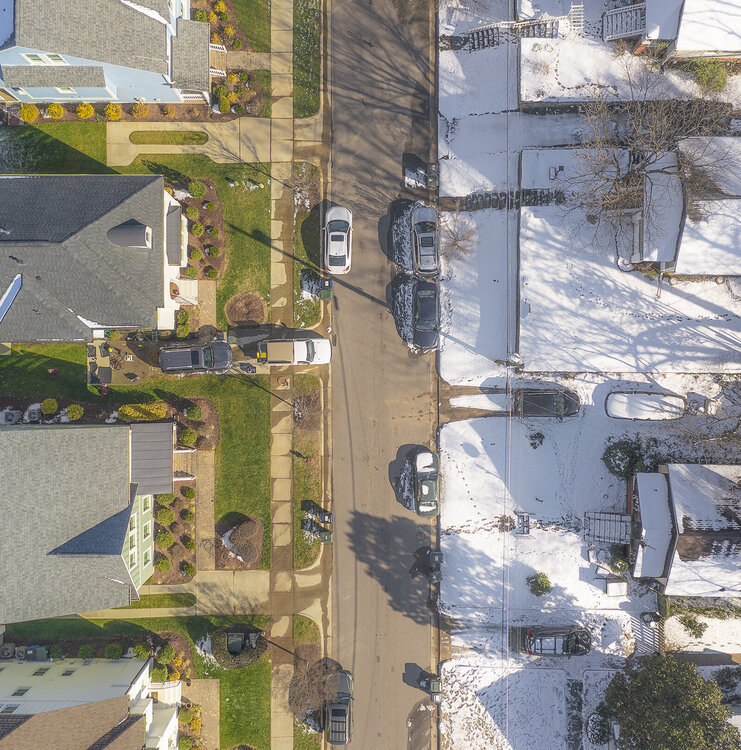
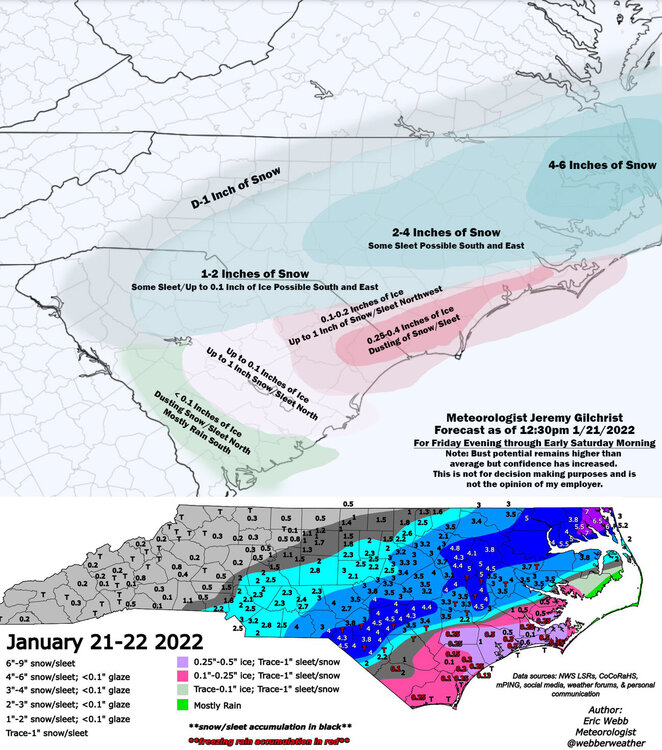
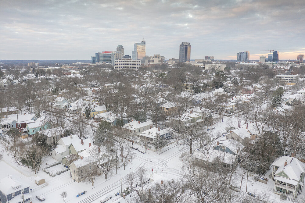
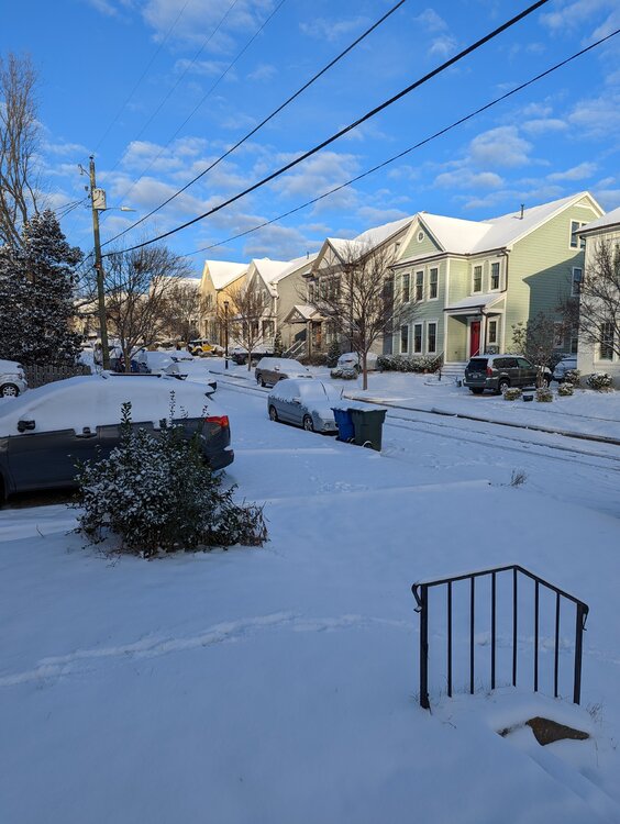
Your arctic cold helped us pull off what was a warning level snow for these parts (about 3-3.5 inches). Greetings from the Banana Belt! (It remained in the 20's the entire event was pure powder):
-
- 727 replies
-
- 17
-

-

-
-
Well I have been granted a full release from the sanitarium. Anything we get after this is a bonus.
-
- 727 replies
-
- 15
-

-
- 727 replies
-
- 11
-

-


