eyewall
Meteorologist-
Posts
12,466 -
Joined
-
Last visited
Content Type
Profiles
Blogs
Forums
American Weather
Media Demo
Store
Gallery
Everything posted by eyewall
-
That inner eyewall has beefed back up in the past few frames.
-
I think what is most notable about the GFS/Euro runs is the stall/crawl off Tampa before resuming the trip north.
-
Yeah the forecasting on this one has been pretty awful all around. Absolutely unbelievable.
-
I just think it is all over the place until this system gets better organized. All it would take is one center re-location under the convection to throw off these model runs. Still a lot of shifting to come I think.
-
I plan on coming up for foliage so lock it in:
-
I would have to agree. This is not a major hurricane right now.
-
Looks like I found a gust to 121 mph for Grand Turk.
-
Grand Turk had sustained winds at least up to 93 mph. Gusts over 100.
-
eye is trying to clear on the vis as well.
-
That sinking feeling when you see 90's returning next week
-
I believe you are correct.
-
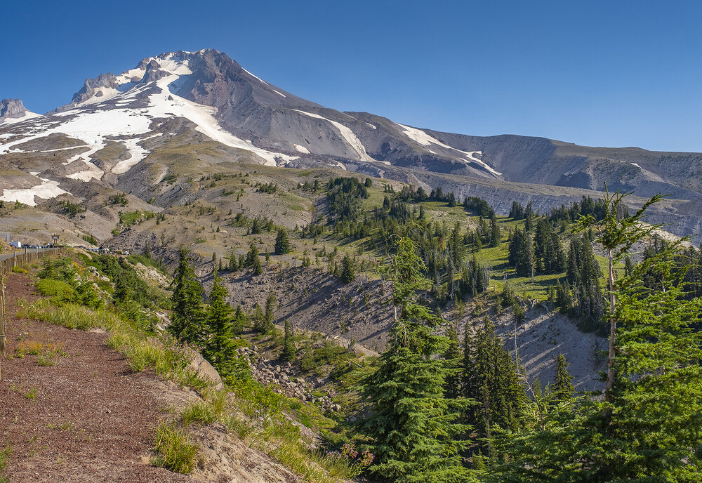
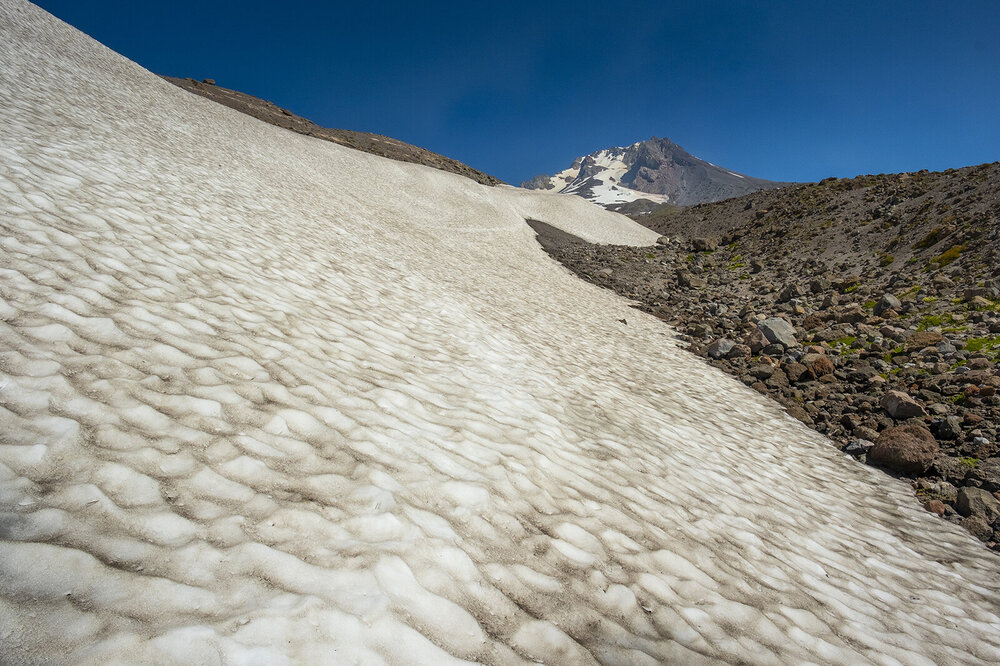
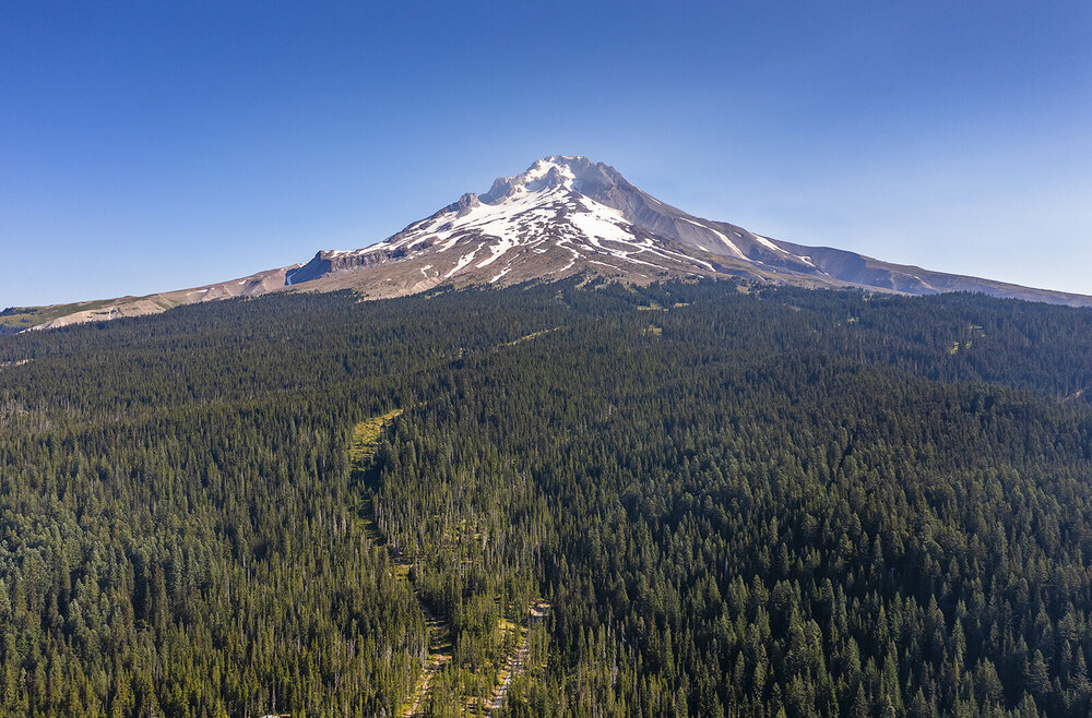
I was just in Oregon and visited the Timberline lodge at Mt. Hood. I had no idea they still would have a lift running up to where snow remained and skiing/snowboarding open. These were taken on 8/11:
-
-
-
-
-
the core of the winds missed just to my south.
-
-
-
-
https://www.facebook.com/11832585/videos/431929668954105/
-
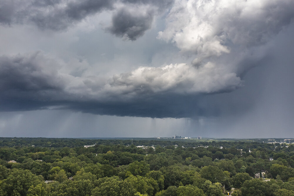
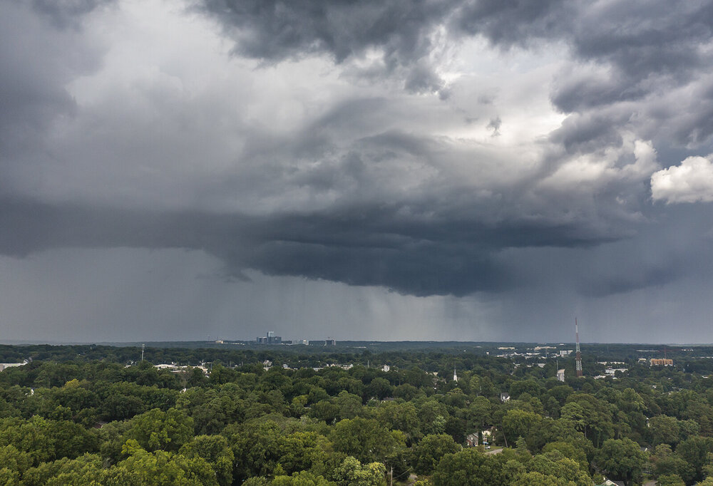
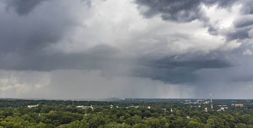
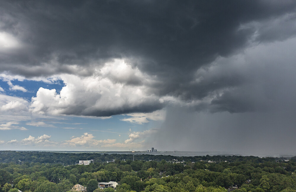
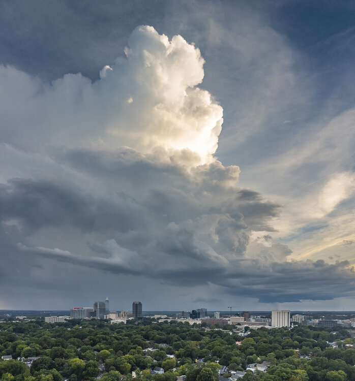
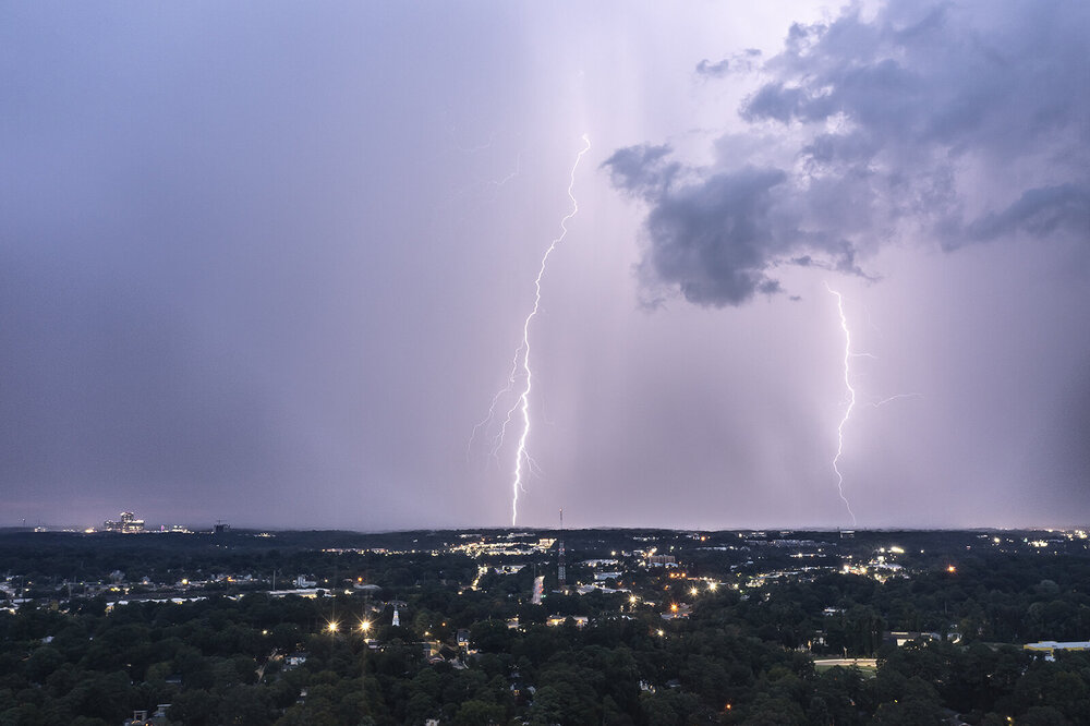
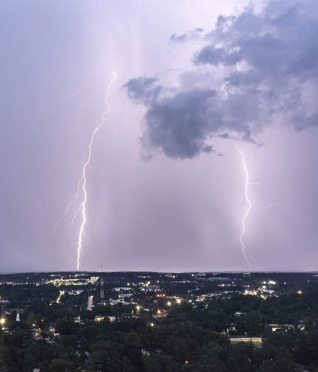
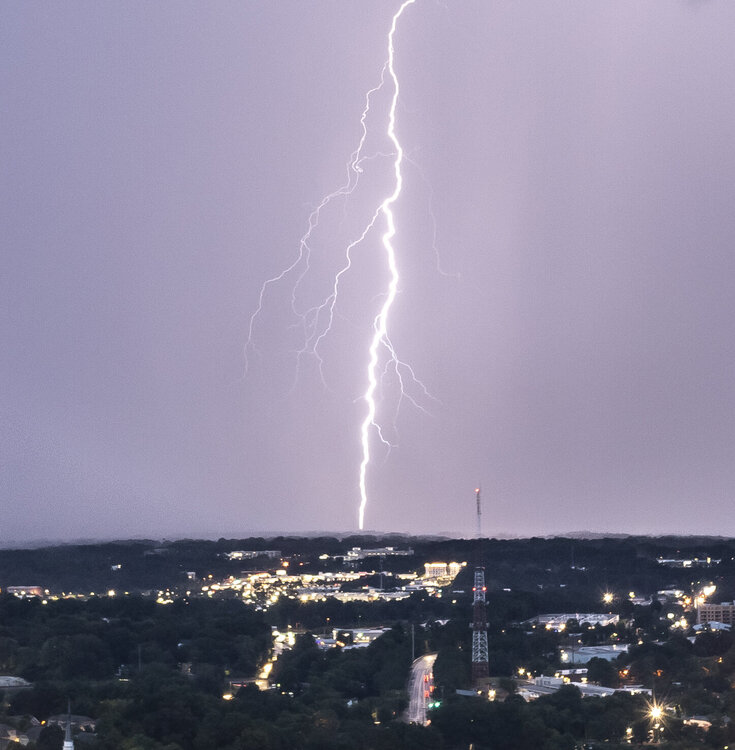
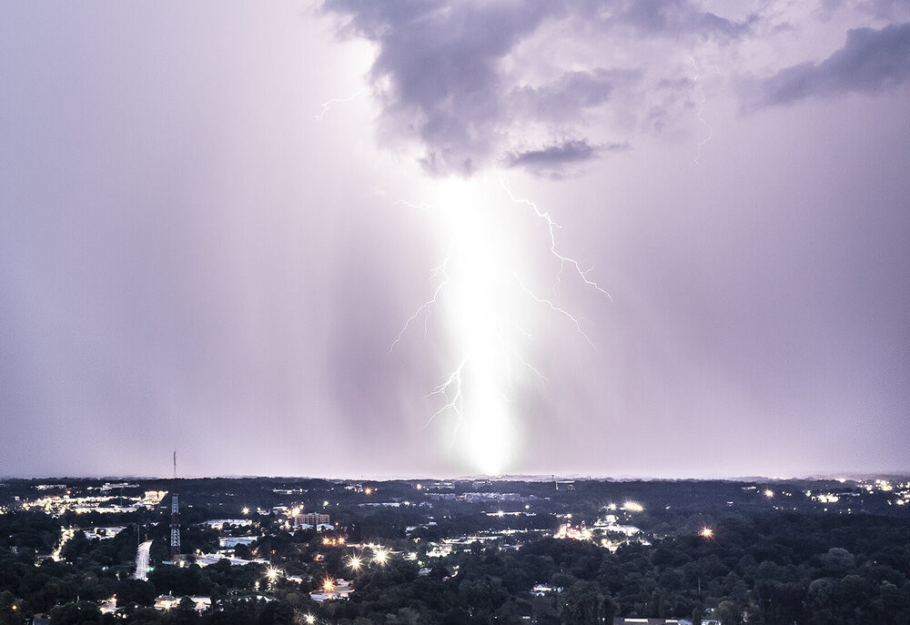
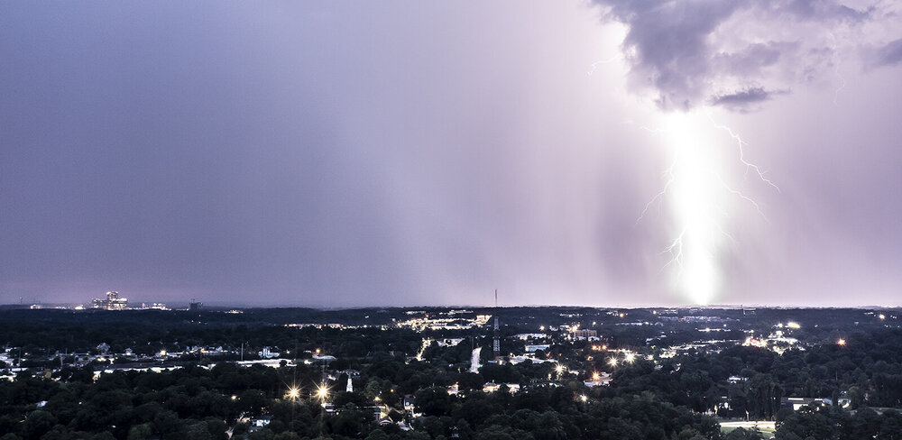
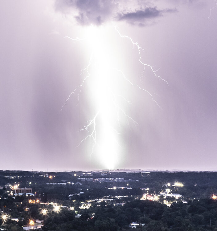
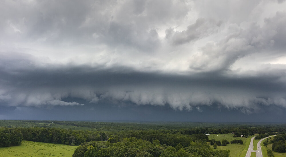
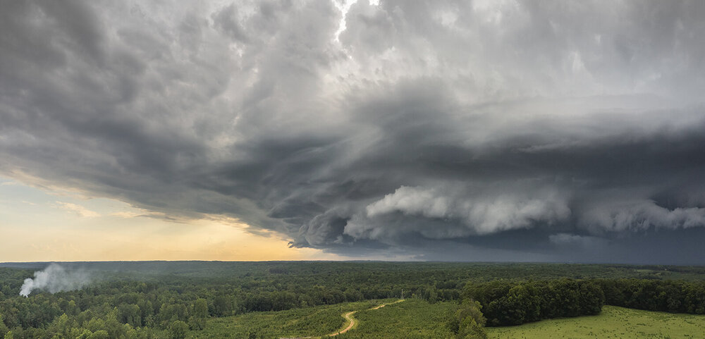
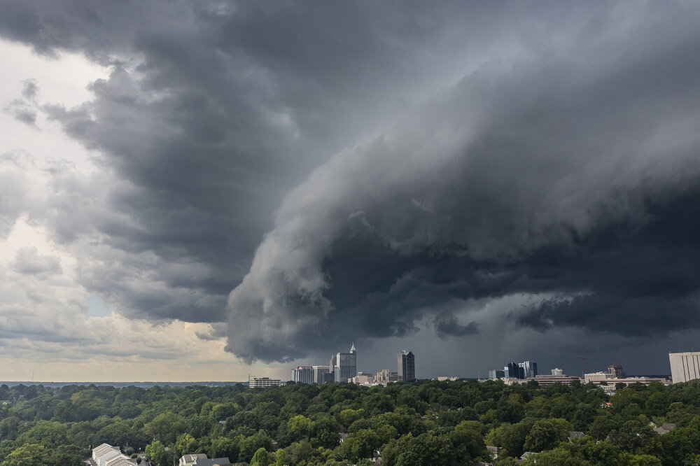
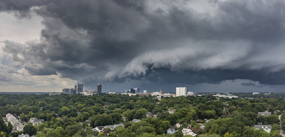
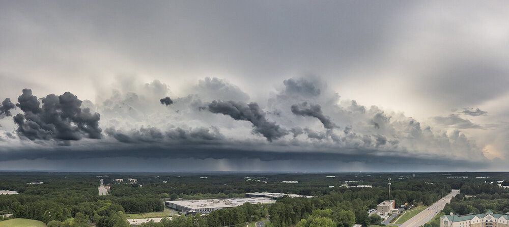
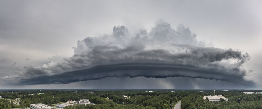
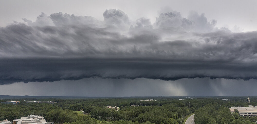
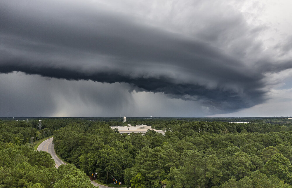
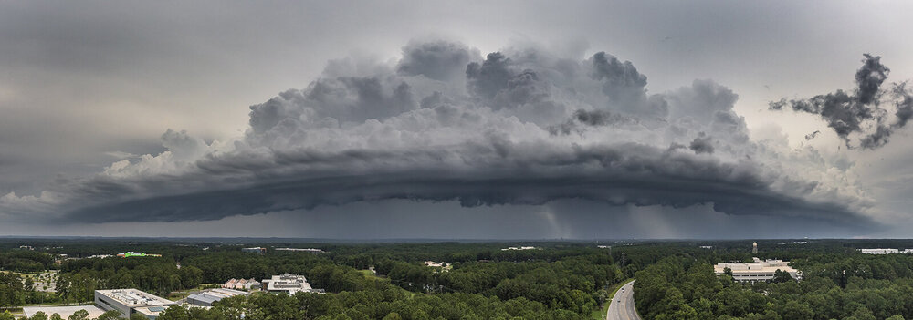
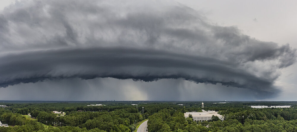
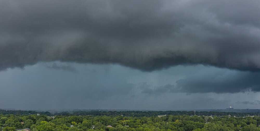
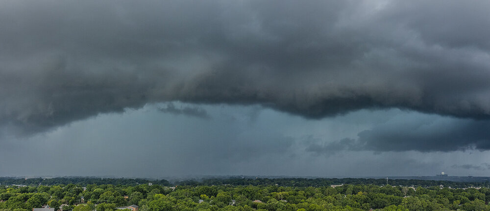
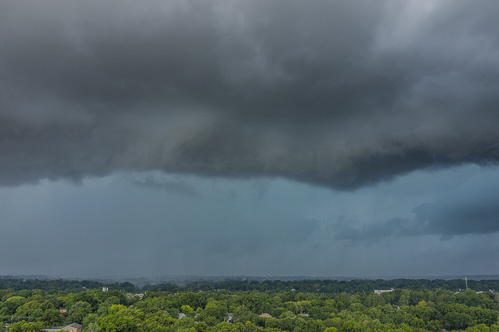
yep figured you got some hail. I had the drone up here and will post some shots in a bit.


