

sbnwx85
-
Posts
1,316 -
Joined
-
Last visited
Content Type
Profiles
Blogs
Forums
American Weather
Media Demo
Store
Gallery
Everything posted by sbnwx85
-

Winter 2024-25 Medium/Long Range Discussion
sbnwx85 replied to michsnowfreak's topic in Lakes/Ohio Valley
I'll eat grass if we get a rainer before Jan. 30 out of this pattern. -
#blessed with nearly 1.5" today at home. Nothing fell at work just 7 miles northeast. Classic lake effect.
-
Completely off-topic but the wind/fire storm near Los Angeles tonight could be historic.
-
Winter 2024-25 Medium/Long Range Discussion
sbnwx85 replied to michsnowfreak's topic in Lakes/Ohio Valley
Cold is just “ter”. Add snow and that’s a win. Thusly, that’s when you get “winter”. I think it’s Latin or something. -
Winter 2024-25 Medium/Long Range Discussion
sbnwx85 replied to michsnowfreak's topic in Lakes/Ohio Valley
Yeah… this will be our annual two weeks of winter. -
Winter 2024-25 Medium/Long Range Discussion
sbnwx85 replied to michsnowfreak's topic in Lakes/Ohio Valley
Team GFS. Because someone has to be. -
From ILX. To me this is the dumbest way to word a Winter Storm Warning. Is the public really more responsive to probabilities? Just tell me how much snow to expect. WINTER STORM WARNING REMAINS IN EFFECT FROM MIDNIGHT TONIGHT TO NOON CST MONDAY... * WHAT...Heavy snow likely near and south of a Beardstown to Paris line. A high confidence (80% chance) of at least 6 inches of snow. A medium confidence (40% chance) of at least 12 inches of snow. Blowing snow likely with wind gusts up to 35 mph. Mixed precipitation possible. A low confidence (30% chance) of at least one tenth of an inch of ice near and south of US Highway 50. * WHERE...Heavy snowfall across portions of central, east central, southeast, and west central Illinois. Freezing rain and ice accumulation confined to areas near and south of US Highway 50 across southeast Illinois. * WHEN...From midnight tonight to noon CST Monday. * IMPACTS...Travel could be very difficult. Areas of blowing snow could significantly reduce visibility. The hazardous conditions will impact the Monday morning commute.
-
Blizzard Warnings up for parts of Kansas and northwest Missouri.
-
1.5” on the ground. It’s been snowing lightly all morning but not accumulating anymore. Maybe… maybe we’ll squeeze out another inch from the system tomorrow.
-
We'll get em next year.
-
Freezing rain threat still appears to be a major concern along the Ohio River valley. That may end up being the real "star" of this storm if trends hold. Plus, cold air filtering in behind this system means melting won't happen like we typically see with freezing rain events.
-
1.2” of snow since last night thanks to the system and light lake effect. Better than a poke in the eye.
-
Euro/GDPS/UKIE vs. GFS/ICON. Pick your team.
-
Monster sleet storm is in the table too.
-
Wasn’t expecting more than flurries and we’re up to half an inch. Might nickel and dime our way to a 3” snowpack by Tuesday morning.
-
Creeping north. Might get to advisory level snows if this keeps up. Wish the Euro would join in.
-
Winter 2024-25 Medium/Long Range Discussion
sbnwx85 replied to michsnowfreak's topic in Lakes/Ohio Valley
Interesting read. Hope it verifies! -
18z GFS looks very similar to 12z. Weak sauce snow this far north. Could manage an inch or two based on the last two runs.
-
Yeah, that's valid. I just hate the NAM in long range. And the GFS, despite bringing the snow shield just barely into my area. doesn't put down any accumulation.
-
Could the NAM start the north trend? Ope, sorry Bernie.
-
Winter 2024-25 Medium/Long Range Discussion
sbnwx85 replied to michsnowfreak's topic in Lakes/Ohio Valley
It’s so bad even my snow stick is flaccid.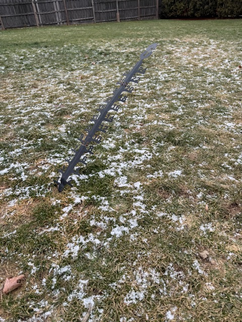
-
Word. Soak it in, friends.
-
00z Euro goes back to reality. Looking similar to 12z. Time for bed.
-
The monster totals along I-70 would be lower since quite a bit of that is sleet mixing in.
-
I don’t wanna waste the bandwidth but the ICON came north. Pretty much in line with the 18z Euro.


