sbnwx85
-
Posts
1,317 -
Joined
-
Last visited
Content Type
Profiles
Blogs
Forums
American Weather
Media Demo
Store
Gallery
Everything posted by sbnwx85
-
Taking the run verbatim…that would be a lot of heavy snow on top of ice. Just a couple inches of snow after a couple tenths of an inch of ice causes problems. Nothing to get alarmed about at this stage in the game, but certainly something to keep an eye on.
-
For those keeping score at home, my first and final call of rain was for Wednesday. I haven’t made a decision for Thursday.
-
Nice burst.
-
Hoping this burst holds together for a few more minutes. ...A quick burst of snow with gusty winds to hamper travel... Snow was spreading across far southwest Lower Michigan into far northwest Indiana behind a cold front. Winds were gusting to between 40 and 50 mph and were causing reduced visibilities along with blowing and drifting snow. Temperatures will rapidly fall below freezing causing a fast deterioration of driving conditions with the likelihood of road becoming slippery. If you are traveling early tonight over areas north and west of South Bend, use caution. Allow extra time to reach your destination.
-
First and final call:
-
-
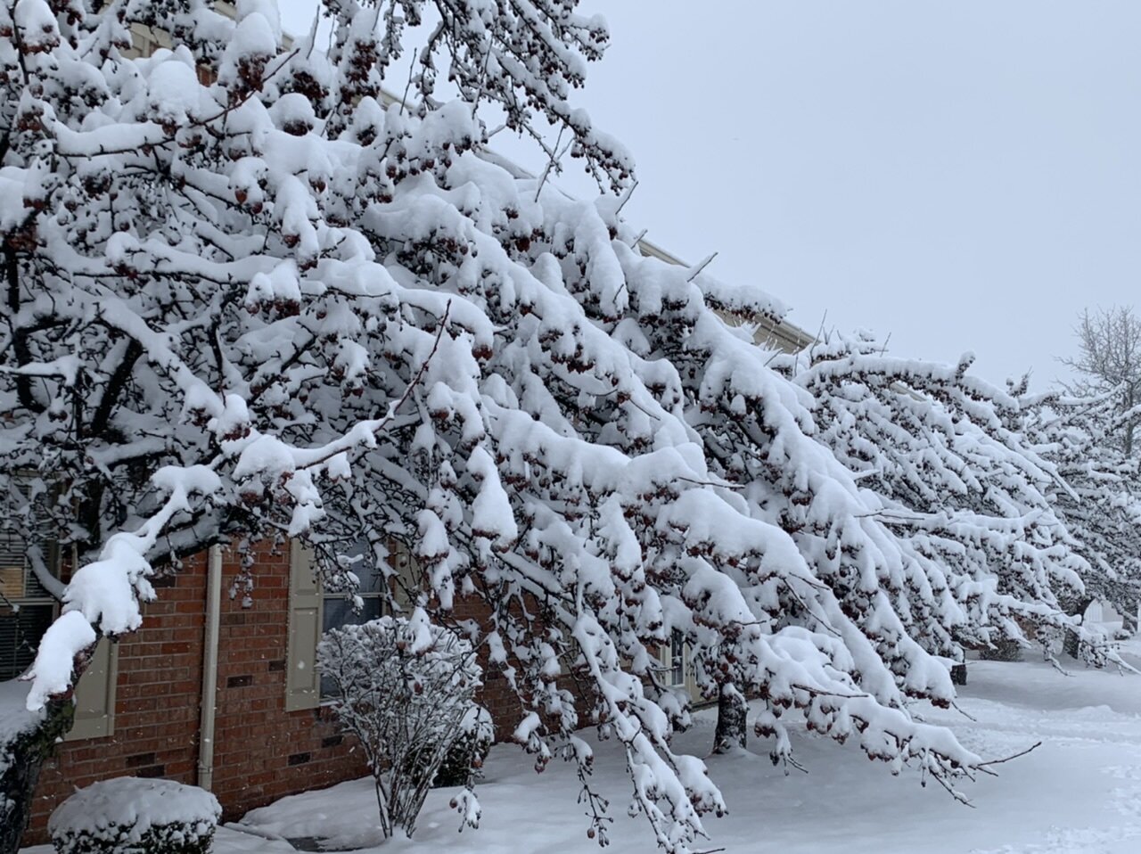
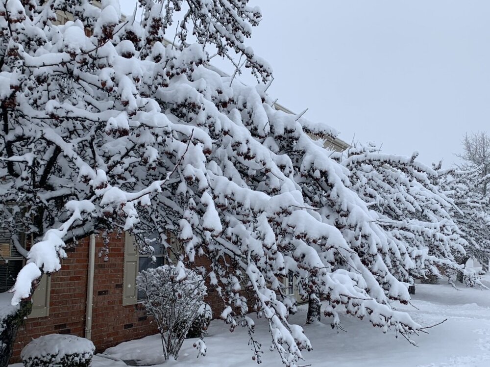
Light glaze covering everything when I got to the car this afternoon before work. Mood flakes now. A very wintry day.
-

Winter 2021-22 Short/Medium Range Discussion
sbnwx85 replied to Chicago Storm's topic in Lakes/Ohio Valley
HRRR and NAM picking up on a coating to an inch in N. IL/IN tomorrow evening. Just something to keep things fresh. -
Ended with somewhere between 9 and 11 inches depending on where I measured. The parking lot in my complex hadn’t been plowed when I got home tonight. The car got into a spot but it’s going to be a battle to leave tomorrow.
-
RECORD EVENT REPORT NATIONAL WEATHER SERVICE NORTHERN INDIANA 0450 PM EST WED FEB 02 2022 ...RECORD DAILY MAXIMUM SNOWFALL SET AT SOUTH BEND... A RECORD SNOWFALL OF 8.2 INCHES WAS SET AT SOUTH BEND TODAY. THIS BREAKS THE OLD RECORD OF 8.0 INCHES SET IN 1908. THIS WILL BE UPDATED AT THE END OF THE DAY WITH THE FINAL SNOWFALL TOTAL FOR THE DAY.
-
I haven't been able to go out and measure lately...but several 8.2" reports around South Bend at 3:00 EST.
-
A little over 6 now. Rates decreasing but hopeful things fill in on the radar.
-
4.75 inches so far. Very pretty. Death band incoming from the west.
-
In less than an hour we’ve gone from mixing to a coating.
-
Ladies and gentlemen, we have flakes mixing in!
-
Just noticed 00z HRRR has a period of impressive wind gusts in eastern Illinois for a few hours Thursday morning.
-
00z NAM brought the second system just far enough north to give me a couple extra inches. 3K NAM was a complete miss to the south.
-
I think it's pretty cool!
-
You love to see it!
-
This has potential to be the biggest storm I've covered while working in news. The anticipation is palpable. So much planning and preparation happening today...now we wait.
-
Lots of moisture out there already.
-
Also showing impressive banding just to my west with 20 inch totals in northern Porter and LaPorte. 20 inches may not be realistic...but a good indication someone will get buried under good banding. Edit: Might be some lake enhancement there, too?
-
-
Temp is up to 45 here. I think we were forecast to be at 43 for a high.
-
The 2nd wave almost misses me completely on this run of the GFS but the first wave puts down 15 inches in Kuchera so who am I to complain?