sbnwx85
-
Posts
1,317 -
Joined
-
Last visited
Content Type
Profiles
Blogs
Forums
American Weather
Media Demo
Store
Gallery
Everything posted by sbnwx85
-
-
I was seriously concerned when many of the 00z models showed a miss just to my south. Models corrected back NW overnight. Also... Mesoscale Discussion 0145 NWS Storm Prediction Center Norman OK 0112 PM CST Thu Feb 17 2022 Areas affected...portions of far northern Indiana into far southern Lower Michigan Concerning...Winter mixed precipitation Valid 171912Z - 180015Z SUMMARY...Wintry mixed precipitation is underway in proximity to the Indiana/Michigan border. A gradual transition to moderate/heavy snow is expected this afternoon. An instance or two of 1 inch/hour snowfall rates is possible in the stronger precipitation bands. DISCUSSION...As the ill-defined 850 mb cyclone across central IL/IN continues to propagate northeast through the afternoon, 850-700 mb WAA will continue to transport rich moisture and sustain the moderate to heavy wintry precipitation that is underway across northern parts of the Ohio Valley. KLOT and KIWX dual-polarimatric radar indicate liquid precipitation and sleet falling along the IL/IN border. However, this sleet to snow transition zone is shifting southeast in tandem with 925 mb CAA which is ushering in sub-freezing temperatures per 18Z mesoanalysis and supported by 18Z RAP forecast soundings. With a near-saturated, sub-freezing troposphere, the transition from wintry mixed precipitation to snow is expected to continue through the afternoon. Up to 1 inch/hr snowfall rates may occur in heavier portions of the precipitation bands given near-saturation in the -12 to -17C dendritic growth zone. ..Squitieri/Grams.. 02/17/2022
-
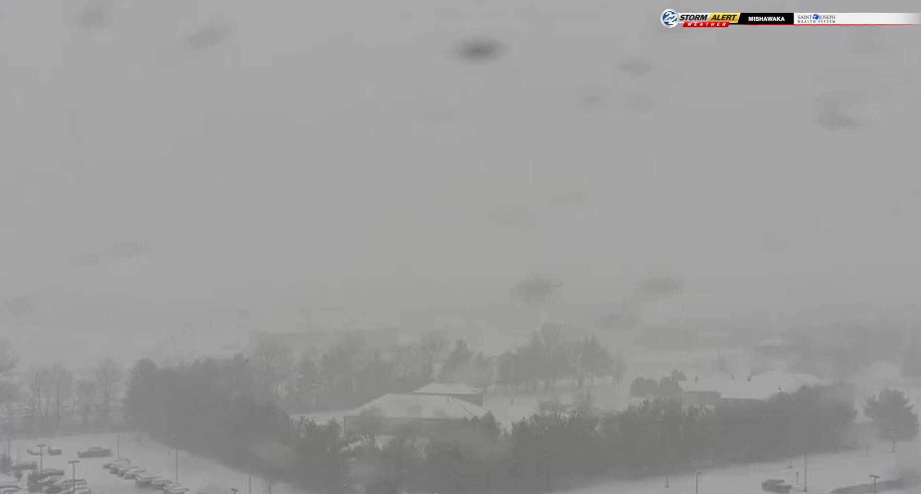
Ripping now. Radar looks great. Going to be a good event. Edit: Funny how I don't feel fully confident until the event has literally begun.
-
Switched over to snow now. Coming down pretty, pretty, pretty good.
-
Pouring freezing rain and sleet. Temp is right at 32 so not much accretion but the sleet mixing in is making sidewalks and parking lots slick.
-
Getting ready for some sleet/freezing rain to begin shortly. Gonna try to get to work before it starts.
-
Updated mood:

-
-
Call already in danger. Should have waited 12 hours.
-
Final call: 6.9". Nice.
-
IWX warnings paint the bullseye of 6-10 inches about a row of counties south of me. Still puts me in 5-9. 40 mph wind gusts. Let's go.
-
Current mood:
-
C'mon...some of us are eating.
-
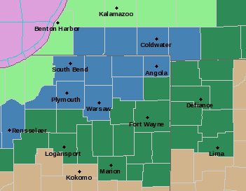
IWX issues watches. Pretty fun map. INZ003>005-MIZ077>079-160900- /O.NEW.KIWX.WS.A.0003.220217T1500Z-220218T0300Z/ La Porte-St. Joseph IN-Elkhart-Berrien-Cass MI-St. Joseph MI- Including the cities of Michigan City, La Porte, South Bend, Mishawaka, New Carlisle, Walkerton, Elkhart, Goshen, Nappanee, Niles, Benton Harbor, St. Joseph, Fair Plain, Benton Heights, Buchanan, Paw Paw Lake, Dowagiac, Cassopolis, Edwardsburg, Marcellus, Sturgis, Three Rivers, White Pigeon, and Mendon 406 PM EST Tue Feb 15 2022 /306 PM CST Tue Feb 15 2022/ ...WINTER STORM WATCH IN EFFECT FROM THURSDAY MORNING THROUGH THURSDAY EVENING... * WHAT...Heavy mixed precipitation possible. Total snow accumulations of 4 to 7 inches and ice accumulations up to one tenth of an inch. * WHERE...Portions of northern Indiana and southwest Michigan. * WHEN...From Thursday morning through Thursday evening. * IMPACTS...Plan on slippery road conditions Thursday afternoon and evening. The hazardous conditions will impact the evening commute.
-
South it goes now. Prepare for slight adjustment northwest 12 hours before storm starts. You gotta love the classics.
-
And wow is it south of GFS and NAM.
-
Focusing on my area and the American models: GFS keeps temps right at freezing during the icing event before temps drop and sleet occurs. Due to marginal temps and heavier rates, I think quite a bit of freezing rain would runoff and lower accretion. NAM and 3k NAM keep me around 30 during the icing portion of the event, increasing accretion. Winds will be an issue if any significant icing should occur. I’m 24 hours away from breaking out the “ice accumulation index chart”.
-
Can’t believe I’m asking this…but anyone have access to sleet accumulation maps?
-
I wonder if the 3rd place tv station is town is regretting branding the GHDIII Storm the “Storm of the Season” yet.
-

Winter 2021-22 Short/Medium Range Discussion
sbnwx85 replied to Chicago Storm's topic in Lakes/Ohio Valley
Four years ago in February, we had absolutely devastating river flooding across Michiana. It was caused by a foot of snow followed by several inches of rain a week later. I hope to never see that again…but the next two weeks are looking eerily similar. -
Starting to think I might reel this one in. Not sure yet on what type of frozen precip I’ll end up with, but looking like we’ll be dealing with a winter storm this week.
-
I got 10” from the last storm. I can’t remember the last time I got back-to-back big dogs. If for nothing else, it’s for that reason I think the one will go northwest of me. I’ll be pleasantly surprised otherwise.
-
Someone on Twitter went snow chasing the lake effect near Benton Harbor.
-
Light to moderate snow in one of the outer bands of the mesolow in SW Michigan.
-
Feeling some of the “outer bands” here.