

sbnwx85
-
Posts
1,363 -
Joined
-
Last visited
1 Follower

About sbnwx85

- Birthday 10/04/1985
Recent Profile Visitors
6,302 profile views


-
Yeah, let's get those soil temps up!
-
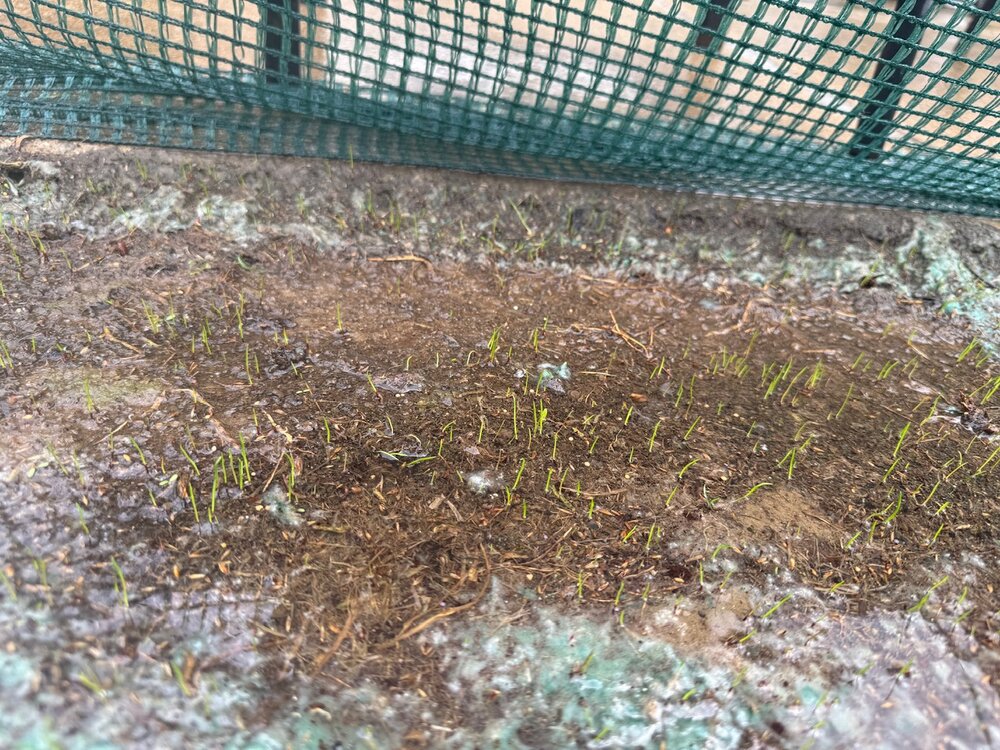
First time trying to grow grass. The rain and garden hose are getting the job done. Tomorrow’s rain will be welcome. Look at these little babies.
-
I'm worried I'll get stuck between the two risks. Maybe I can get initiation to occur overhead on Tuesday. The GFS is more hopeful than the Euro at last check.
-
Just got to work and the cell to my south is a real talker. Lots of rumbles.
-
Grass planting szn has started at the South Bend homestead. Sure sign of spring. Will I keep up with the dead patches caused by dog pee through the summer? Stay tuned.
-
You might squeeze a couple inches out this if it all goes right.
-
Snowing big wet flakes here. I miss the tornadoes.
-

4/2-4/3 Potential Major Severe WX Outbreak
sbnwx85 replied to Geoboy645's topic in Lakes/Ohio Valley
That's usually how it goes up here this time of year save 1920 and 1965. -
4/2-4/3 Potential Major Severe WX Outbreak
sbnwx85 replied to Geoboy645's topic in Lakes/Ohio Valley
Small town of Bourbon, IN took a hit from a likely tornado tonight. Several homes damaged. The high school is serving as a shelter. It's about 45 minutes south of South Bend. -
4/2-4/3 Potential Major Severe WX Outbreak
sbnwx85 replied to Geoboy645's topic in Lakes/Ohio Valley
Ope. Tornado Warning for Jasper County. Won’t take much tonight. -
4/2-4/3 Potential Major Severe WX Outbreak
sbnwx85 replied to Geoboy645's topic in Lakes/Ohio Valley
Mesoscale discussion is intriguing but the convection in Indiana right now looks like dog poopoo. -
4/2-4/3 Potential Major Severe WX Outbreak
sbnwx85 replied to Geoboy645's topic in Lakes/Ohio Valley
-
4/2-4/3 Potential Major Severe WX Outbreak
sbnwx85 replied to Geoboy645's topic in Lakes/Ohio Valley
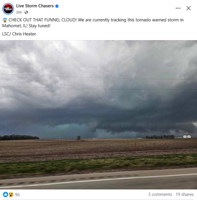
TOR Warned now. Radar indicated. -
4/2-4/3 Potential Major Severe WX Outbreak
sbnwx85 replied to Geoboy645's topic in Lakes/Ohio Valley
Enhanced pushed back north. We're so back. -
4/2-4/3 Potential Major Severe WX Outbreak
sbnwx85 replied to Geoboy645's topic in Lakes/Ohio Valley
HRRR making every effort to keep the dream alive here.


