-
Posts
24,210 -
Joined
-
Last visited
Content Type
Profiles
Blogs
Forums
American Weather
Media Demo
Store
Gallery
Everything posted by Eskimo Joe
-
Hello fellow Philly Dilly. Grew up in Roxborough in the 90s.
- 1,093 replies
-
- severe
- thunderstorms
-
(and 1 more)
Tagged with:
-
Unpopular opinion: SPC was correct with the initial forecast. They should have trimmed the tornado risk back but not the wind. We were an hour of partly sunny skies away from having that second line get enough juice to wreck a lot of stuff. I worked this event. We rarely get calls in western portions of Montgomery County where it's very rural. Our 911 calls were coming in just minutes after that line was racing through, which is an indication to us that bad things are inbound. We got lucky it trended south towards the Potomac River over a largely unpopulated section of the county. There are some terrible takes on social media from terminally online weather folks that a Day 2 Mod risk didn't turn into the next April 27, 2011.
- 1,093 replies
-
- 4
-

-
- severe
- thunderstorms
-
(and 1 more)
Tagged with:
-
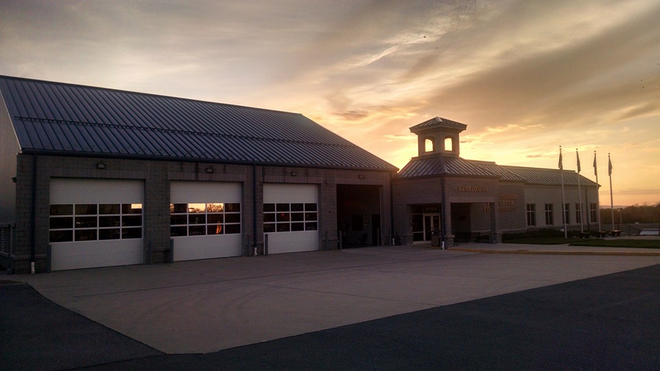
Incredible. I helped install this station too! You can see it from US 50 by the fire department.
- 1,093 replies
-
- 2
-

-
- severe
- thunderstorms
-
(and 1 more)
Tagged with:
-
Weenie rage their neighborhood wasn't slabbed six times in under an hour
- 1,093 replies
-
- 3
-

-

-
- severe
- thunderstorms
-
(and 1 more)
Tagged with:
-
If we event had 500-750 cape this line would've been legit.
- 1,093 replies
-
- severe
- thunderstorms
-
(and 1 more)
Tagged with:
-
Gotta be something going on with Cactoctin Mt.
- 1,093 replies
-
- severe
- thunderstorms
-
(and 1 more)
Tagged with:
-
OPM got raked over the coals after the Jan. 26, 2011 snow event when they put an early dismissal out but folks waited until the last minute to leave. Now there's a "everybody out b [insert time here] rule. But yea, waiting that long to dismiss was kind of weird.
- 1,093 replies
-
- 1
-

-
- severe
- thunderstorms
-
(and 1 more)
Tagged with:
-
We don't get a setup like this often. The separate thread was worthwhile, as even during a fail mode like this we can look back and use the information to diagnose what went right and wrong. Too many people whine in here. Damage assessment crews are out right now, and we're still fielding some reports that are delayed as folks come home from work.
- 1,093 replies
-
- 5
-

-

-

-
- severe
- thunderstorms
-
(and 1 more)
Tagged with:
-
Local Storm Reports (LSRs) will lag. We've submitted over 20 just from our county to NWS alone.
- 1,093 replies
-
- 1
-

-
- severe
- thunderstorms
-
(and 1 more)
Tagged with:
-
From the SPC [https://www.spc.noaa.gov/products/md/md0277.html] "The tornado watch will be cancelled in the wake of this line of storms. Some threat for damaging convective winds with the front this evening still persists, but will be handled with an additional watch later this evening if necessary."
- 1,093 replies
-
- 2
-

-
- severe
- thunderstorms
-
(and 1 more)
Tagged with:
-
Classic Mid Atlantic would be to get an EF-3 tornado or something run through the metros not 3 hours after they cancel the watch.
- 1,093 replies
-
- 5
-

-

-
- severe
- thunderstorms
-
(and 1 more)
Tagged with:
-
SB I-270 at Tuckerman lane closed due to 1 to 2 feet of water across the road.
- 1,093 replies
-
- severe
- thunderstorms
-
(and 1 more)
Tagged with:
-
Days like this are why telework was invented.
- 1,093 replies
-
- 1
-

-
- severe
- thunderstorms
-
(and 1 more)
Tagged with:


