Eskimo Joe
-
Posts
24,735 -
Joined
-
Last visited
Content Type
Profiles
Blogs
Forums
American Weather
Media Demo
Store
Gallery
Everything posted by Eskimo Joe
-

2022 Mid-Atlantic Garden, Lawn, and Other Green Stuff Thread
Eskimo Joe replied to mattie g's topic in Mid Atlantic
Rutgers tomatoes producing in spades. Already started canning. We're pulling about 12 - 20 tomatoes / day off 2 plants.- 137 replies
-
- 2
-

-
- maters
- green stuff
- (and 5 more)
-
Topped out at 98 in Reisterstown. Yesterday. M0.28" of rain, but we dropped 10 degrees from 86 to 76 with the rain last night.
-
Topped out at 98 in Reisterstown.
-
2022 Atlantic Hurricane Season Tracking Thread
Eskimo Joe replied to WxWatcher007's topic in Mid Atlantic
Pacific go brrrr -
Made it to 96° today. We've been quietly putting together a nice string of summer here.
-
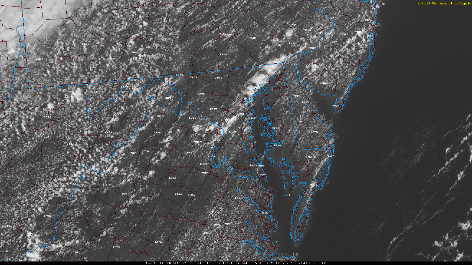
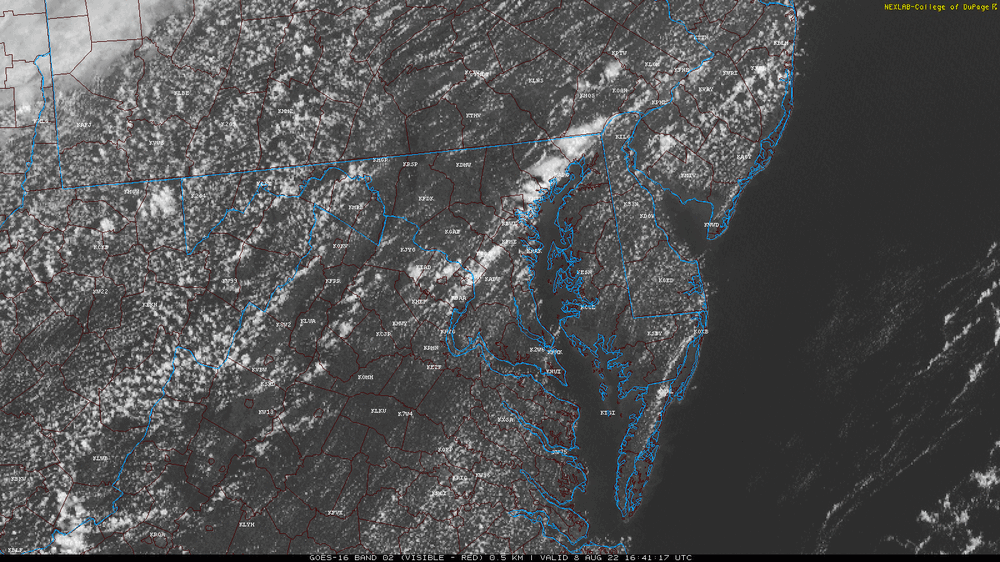
Time sensitive, but if you take a look at the visible satellite loop, you'll see a small line of convection blow up to the east of Baltimore, but the anvil level winds are from the east and blow the cirrus tops back west. Really neat. EDIT: Finally got a gif of it to upload!
-
2022 Atlantic Hurricane Season Tracking Thread
Eskimo Joe replied to WxWatcher007's topic in Mid Atlantic
.gif.33c14764e316d60a9d90757066775448.gif)
-
Above ground pool owners weep.
-
2022 Mid-Atlantic Severe Wx Thread (General Discussion Etc)
Eskimo Joe replied to Kmlwx's topic in Mid Atlantic
So guess what...I got tickets for Saturday instead of Friday. Thankfully I realized before we left. -
Torching at home. Temp up to 93/74 degrees. Feel worse than yesterday outside.
-
Looks like bay breeze marching west in Maryland to the US 29 corridor...might serve as an additional focus for convection/training this afternoon.
-
2022 Mid-Atlantic Severe Wx Thread (General Discussion Etc)
Eskimo Joe replied to Kmlwx's topic in Mid Atlantic
What you just said is why NWS tags SVR warning text with "seek shelter inside a sturdy structure". -
Looks like LWX issued two separate watches...one for the I-81 corridor and one for the metros. Might have taken a moment or two for everything to populate on the public facing website. Updated AFD is interesting:
-
More like sweet and sour.
-
2022 Mid-Atlantic Severe Wx Thread (General Discussion Etc)
Eskimo Joe replied to Kmlwx's topic in Mid Atlantic
Heard reports of a child struck by lightning in Baltimore County, but haven't found anything in the news. -
Several reports of roofs lifted off houses and over 2 dozen working boats damage or partially sunk. This appears to be a fairly robust tornado / water spout.
-
Not sure if already posted, but wow:
-
DCA gusted to 50kts
-
Looks like a weak downburst in the Rockville area.
-
Been in the field all day...worst day of the summer thus far bar none.
-
Yikes indeed. Ji would be found hanging from the rafters on Halloween morning.
-
2022 Mid-Atlantic Severe Wx Thread (General Discussion Etc)
Eskimo Joe replied to Kmlwx's topic in Mid Atlantic
I have tickets to the Pirates / O's game on Friday. Expect an epic severe wx day.