Eskimo Joe
-
Posts
24,623 -
Joined
-
Last visited
Content Type
Profiles
Blogs
Forums
American Weather
Media Demo
Store
Gallery
Everything posted by Eskimo Joe
-

2022 Mid-Atlantic Severe Wx Thread (General Discussion Etc)
Eskimo Joe replied to Kmlwx's topic in Mid Atlantic
Legit heavy rain in Reisterstown. Looks like it should ease off shortly bit if we get another round or two like this it could definitely cause issues. -
2022 Mid-Atlantic Severe Wx Thread (General Discussion Etc)
Eskimo Joe replied to Kmlwx's topic in Mid Atlantic
Meant to say shelf. -
2022 Mid-Atlantic Severe Wx Thread (General Discussion Etc)
Eskimo Joe replied to Kmlwx's topic in Mid Atlantic
Impressive shelf cloud racing towards Reisterstown -
2022 Mid-Atlantic Severe Wx Thread (General Discussion Etc)
Eskimo Joe replied to Kmlwx's topic in Mid Atlantic
TOR for Carroll. -
2022 Mid-Atlantic Severe Wx Thread (General Discussion Etc)
Eskimo Joe replied to Kmlwx's topic in Mid Atlantic
-
2022 Mid-Atlantic Severe Wx Thread (General Discussion Etc)
Eskimo Joe replied to Kmlwx's topic in Mid Atlantic
Kind of spicy wording for the I-95 corridor from WPC (https://www.wpc.ncep.noaa.gov/metwatch/metwatch_mpd_multi.php?md=528&yr=2022) -
2022 Mid-Atlantic Severe Wx Thread (General Discussion Etc)
Eskimo Joe replied to Kmlwx's topic in Mid Atlantic
Orientation of the line coming out of WV certainly lends credence to the flood watch. -
2022 Mid-Atlantic Severe Wx Thread (General Discussion Etc)
Eskimo Joe replied to Kmlwx's topic in Mid Atlantic
Meso out: https://www.spc.noaa.gov/products/md/2022/md1508.html -
2022 Mid-Atlantic Severe Wx Thread (General Discussion Etc)
Eskimo Joe replied to Kmlwx's topic in Mid Atlantic
12z NAM / NAMNEST imply a few urban flash flood issues for Montgomery/Howard/Baltimore -
We didn't think Burlington was going to be that big. Typical tourist mistake. ¯\_(ツ)_/¯
-
100.
-
We live in DC Metro. When we vacation, we don't want to be near people. Negative. Originally supposed to go Bennington -> Burlington -> Portland, ME, then home. We liked southern Vermont so much we decided to change everything and go back down after Burlington. Ended up in Wilmington and loved it. Just fish and lay by a lake. Amazed at the damage Hurricane Irene did...every restaurant in town had a picture of how bad they were flooded out during the event, there was a memorial to the fatality as well.
-
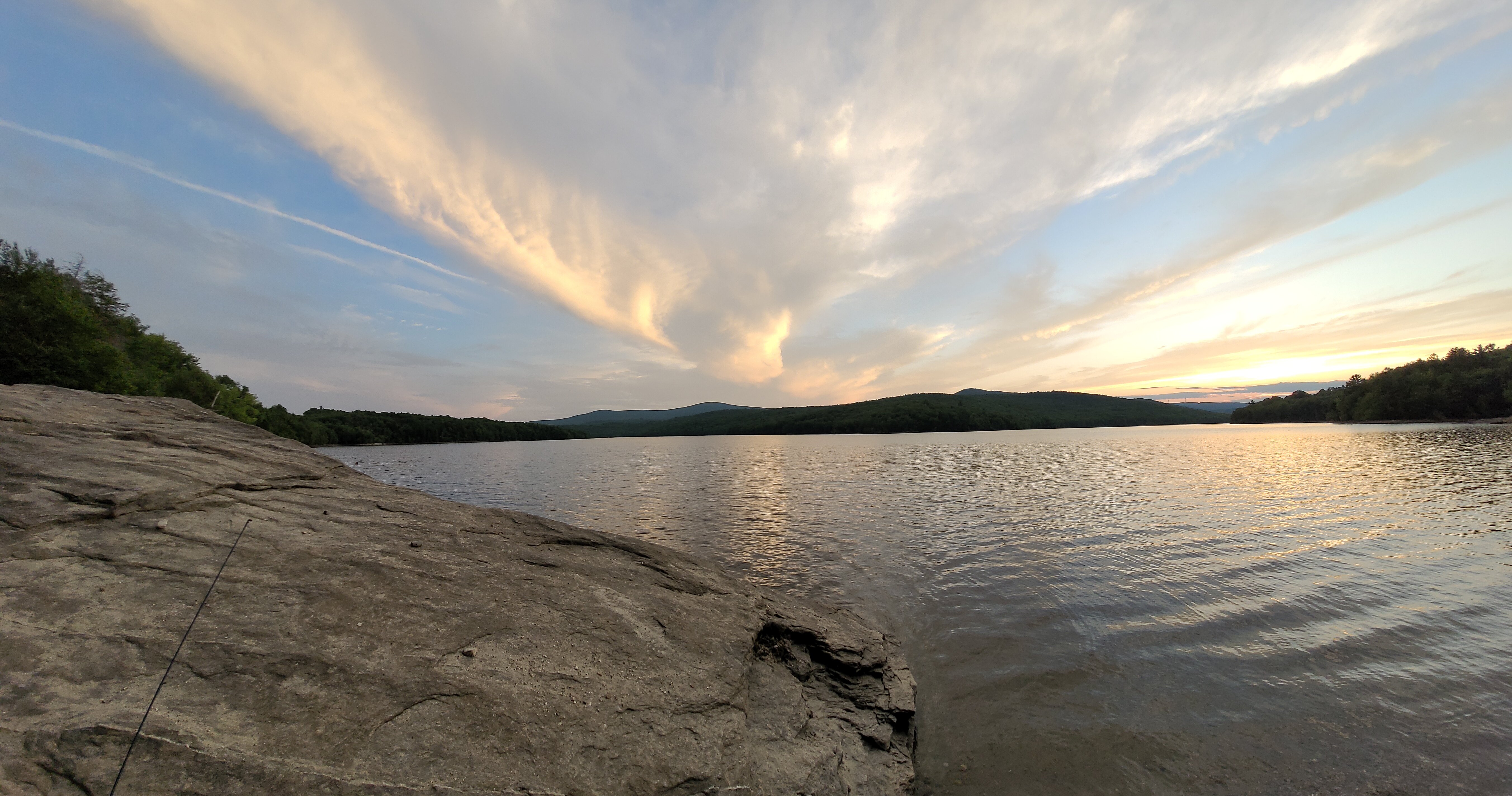
Decided to opt to go back to southern Vermont after hitting up Burlington. We liked Lake Champlain, but did not care for Burlington. Ended up in Wilmington and loved it. This evening's sunset over Harriman Reservoir.

-
Up in Burlington through Friday, then off to Portland, ME for Saturday and Sunday. Weather up here has been amazing.
-
2022 Mid-Atlantic Severe Wx Thread (General Discussion Etc)
Eskimo Joe replied to Kmlwx's topic in Mid Atlantic
Y'all jackpoted because I'm in Vermont. Enjoy! -
Tuesday, July 12, 2022 Stupid Severe Potential
Eskimo Joe replied to weatherwiz's topic in New England
Bennington missed the storms but man we had some nice structure over the Greens. -
Wonderful day in Bennington, not sure what the temp is but it's amazing.
-
Thanks! Now all we need is some fishing recommendations and we're set.
-
Burlington We're just taking our time. First vacation in 2 years.
-
Headed up to Vermont, New Hampshire, and Maine this week. Never been to Vermont before. Looking forward to traveling around the area.
-
-
Already have issues in West Virginia:
-
Upper Montgomery County thankfully has missed most of the rainfall, so the upper third of those watershed (Seneca Creeks, Hawlings River, etc.) has //a bit// of leeway. My primary concern is Rock Creek, Sligo Creek, NW Branch Anacostia, Little Falls Branch, and Minnehaha Branch. Gauges have come down, but we're still moving some decent water and those watersheds are flashy to begin with.
-
2022 Mid-Atlantic Severe Wx Thread (General Discussion Etc)
Eskimo Joe replied to Kmlwx's topic in Mid Atlantic
Euro shunts the axis of heaviest rainfall over to Delmarva and speeds everything up. It's almost like winter...lol. -
2022 Mid-Atlantic Severe Wx Thread (General Discussion Etc)
Eskimo Joe replied to Kmlwx's topic in Mid Atlantic
^Gap is possible because: 1.) Terrain features can enhance flooding, plus they have lower FFG. 2.) Metro areas are rather vulnerable to flooding and have lower FFG. Elsewhere, looks like guidance isn't hammering them much and they've been a bit drier. Just my two cents.