

StormchaserChuck!
-
Posts
2,273 -
Joined
-
Last visited
Content Type
Profiles
Blogs
Forums
American Weather
Media Demo
Store
Gallery
Posts posted by StormchaserChuck!
-
-
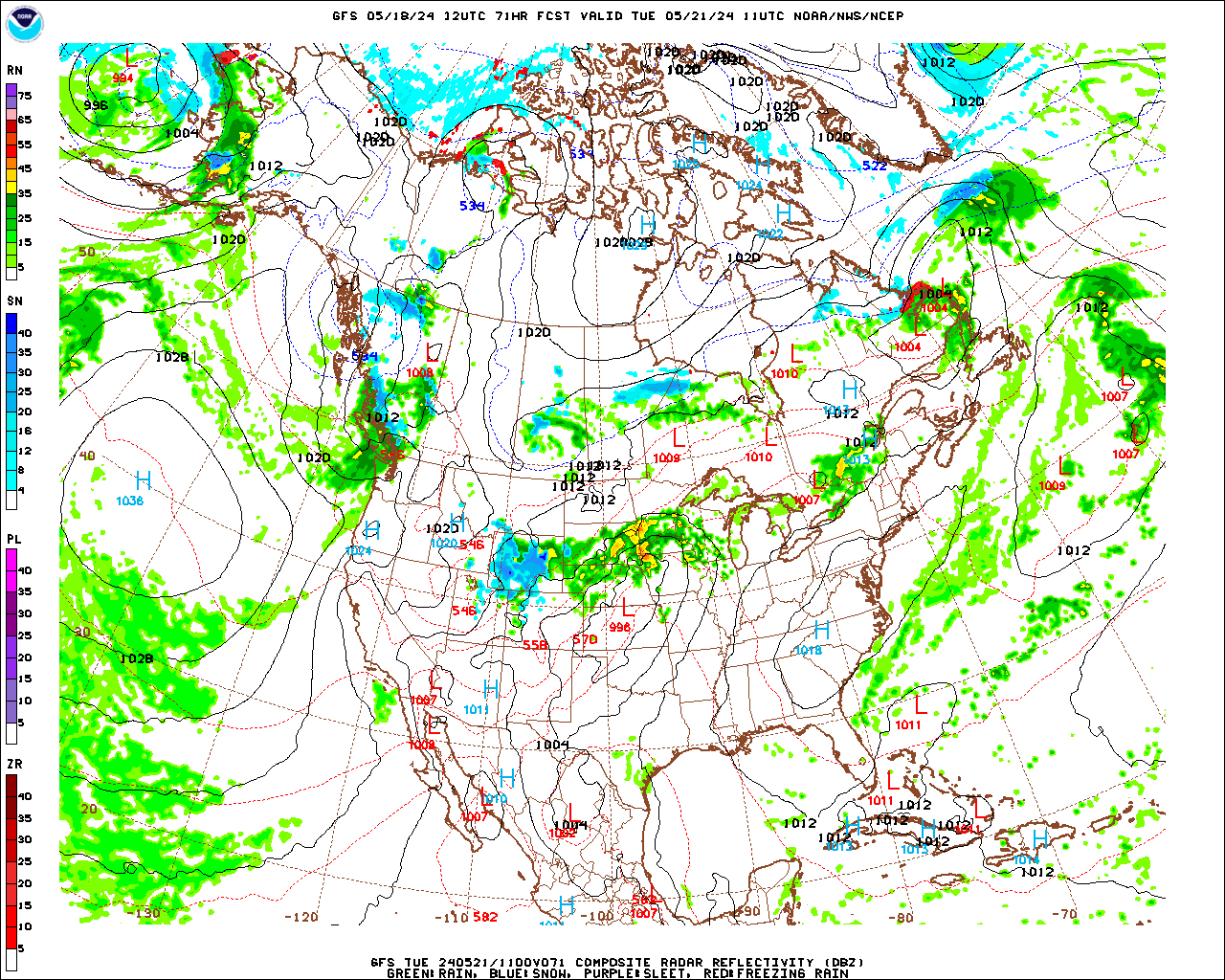
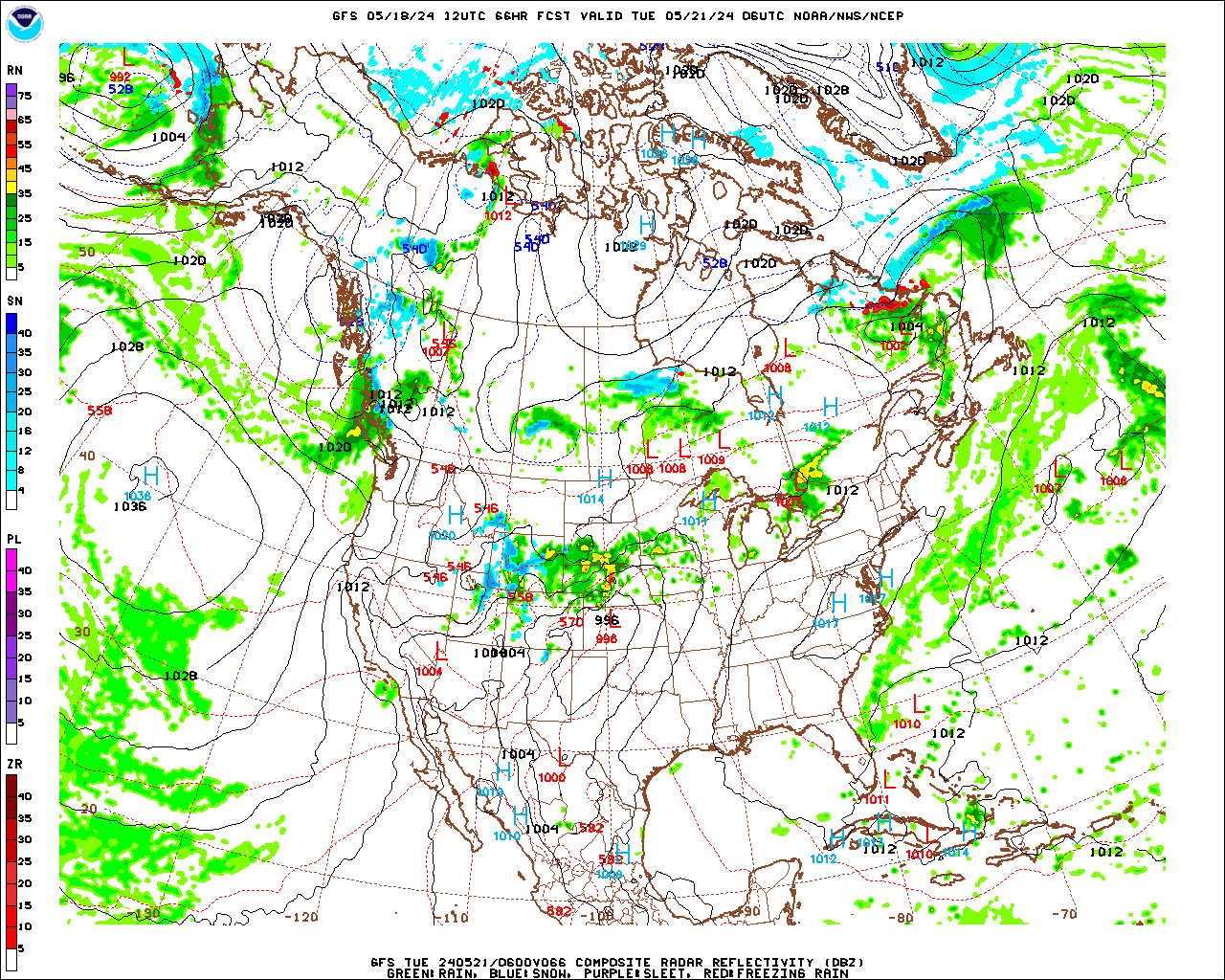
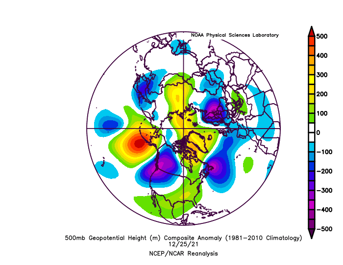
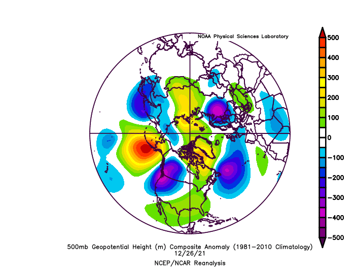
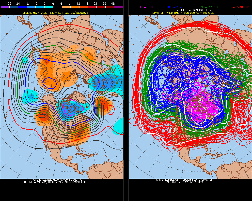
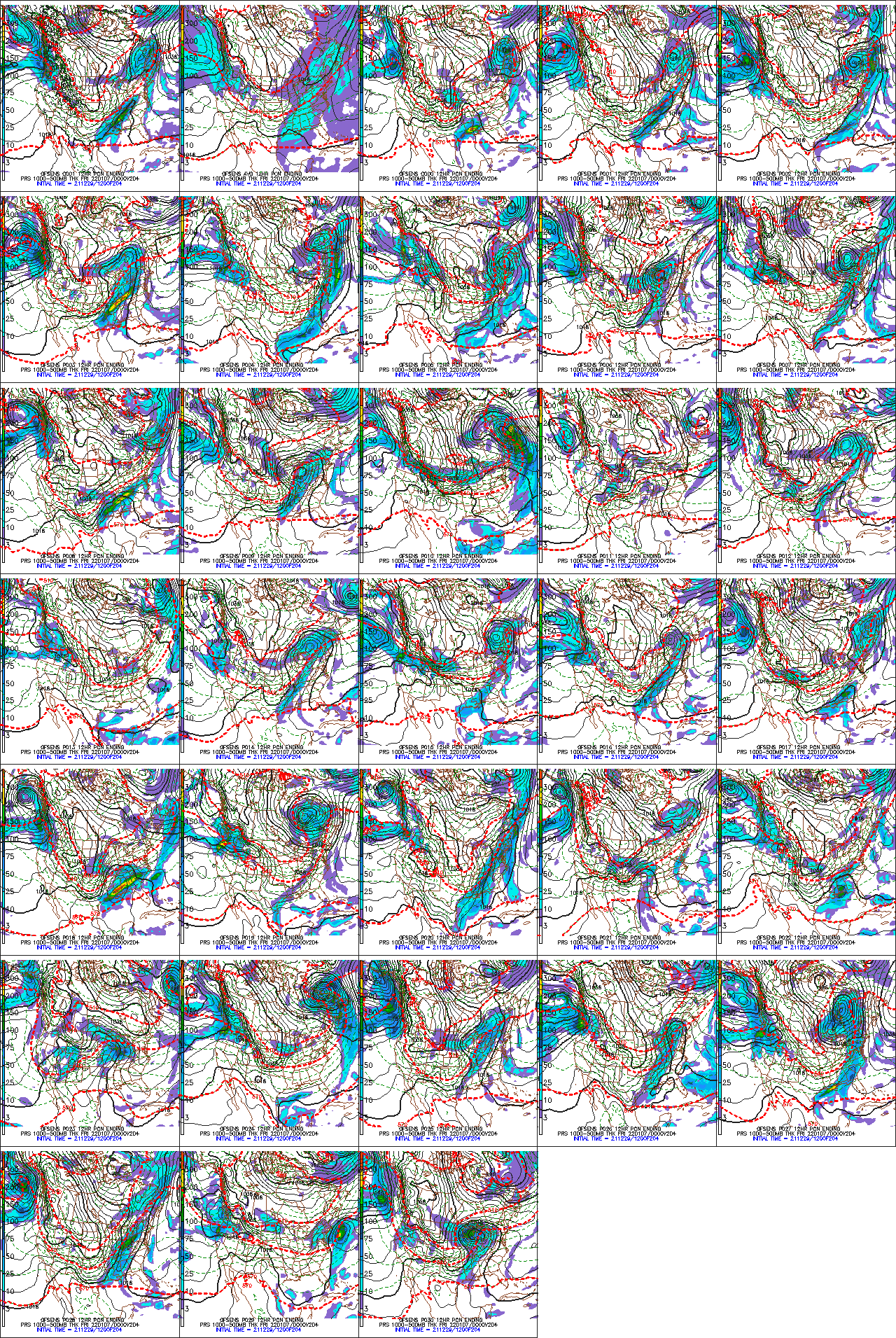
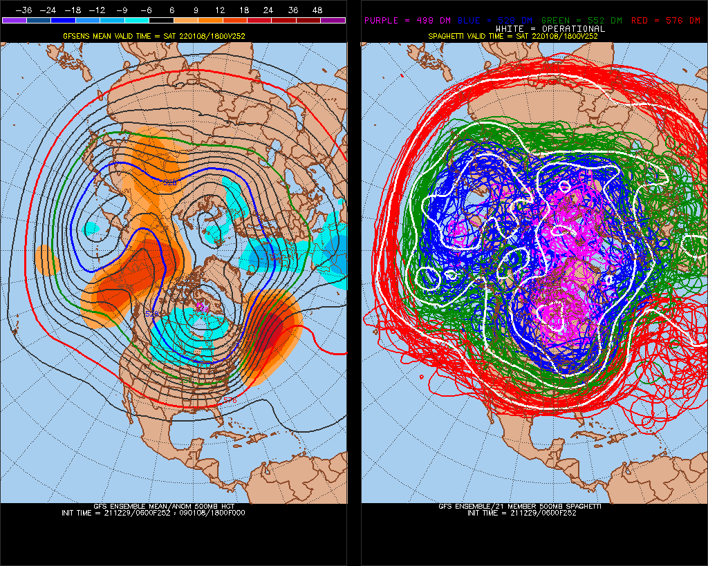
fwiw, 10 days before Jan 25,2000
We are coming out of a similar pattern, with NAO
Coming out of deep -NAOstorm.., Trend has been for NAO to become more negative in shorter term, -NAO has also however weighted by bad Pacific so..
I can see it trending west, but not as cold as 2000.
-
Wonder if we can get a slight shift north, I've seen in the past the GFS has this SE bias, but it's also a warmer pattern. thread the needle. Love the GOA low
-
blah
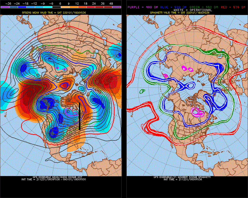
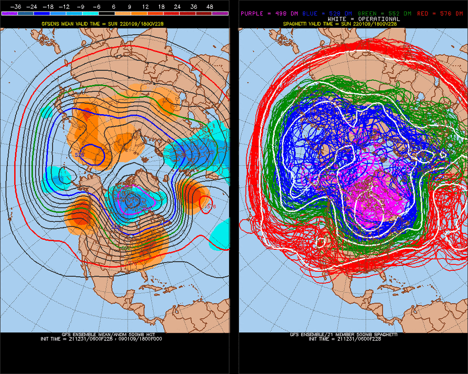
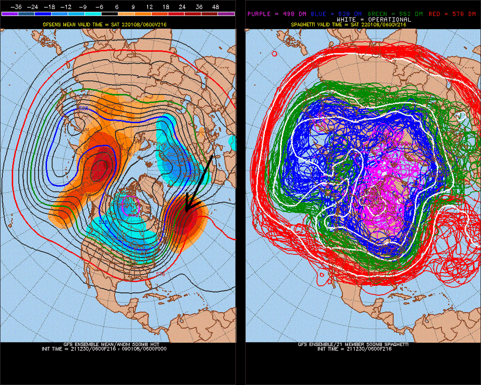
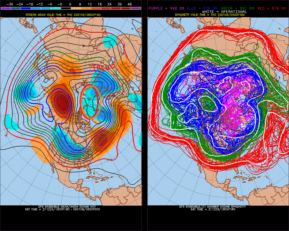
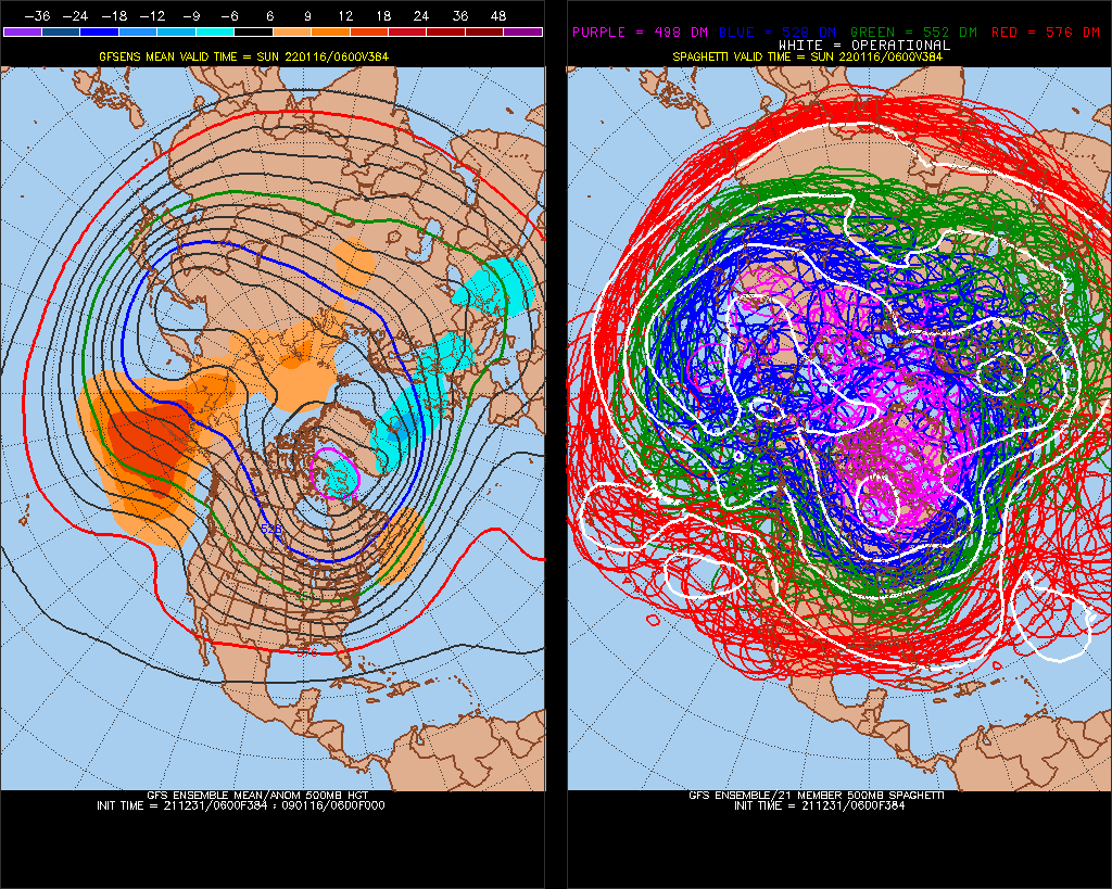
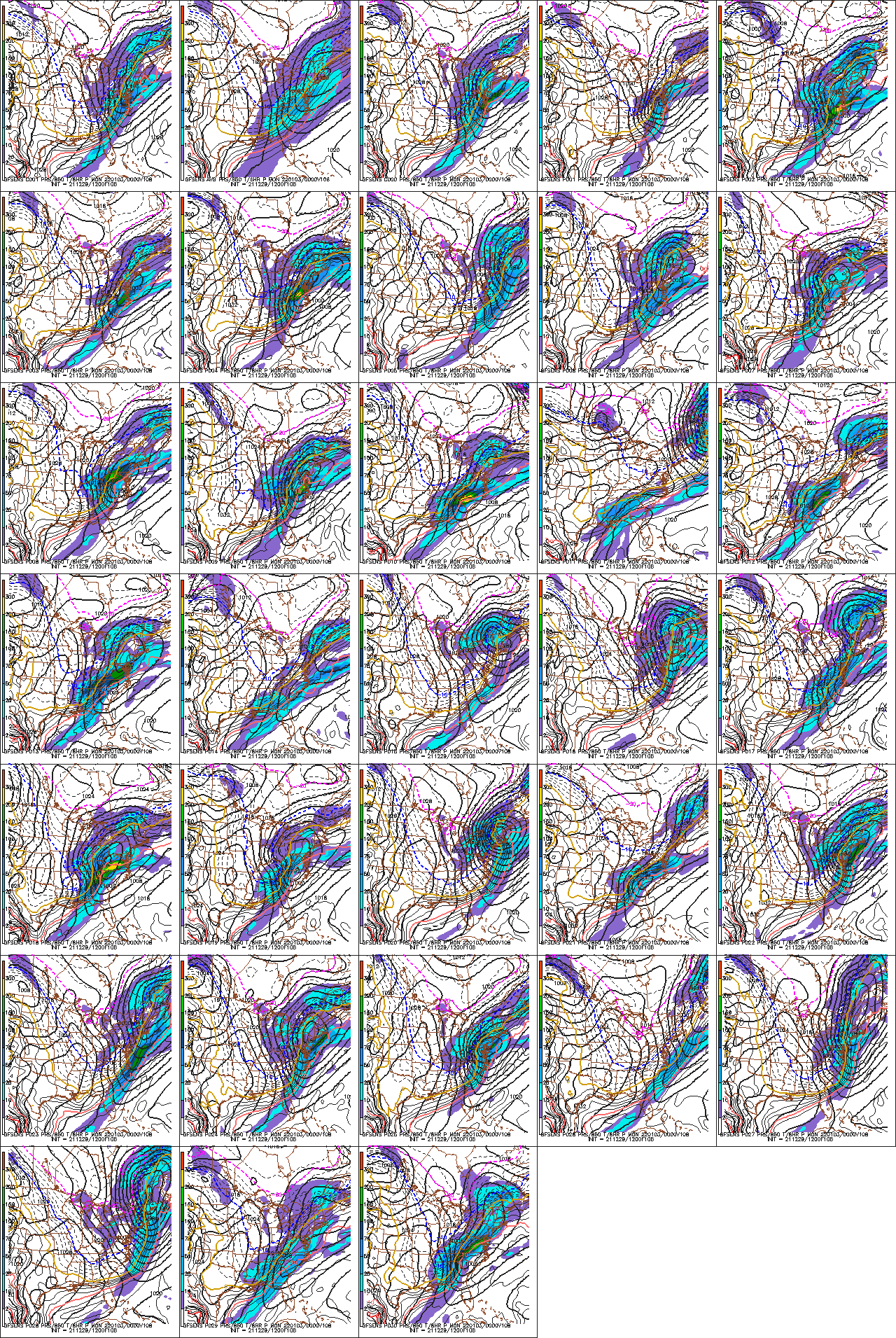
this (notice GFS ensembles are much different from OP)
then this
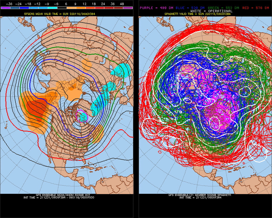
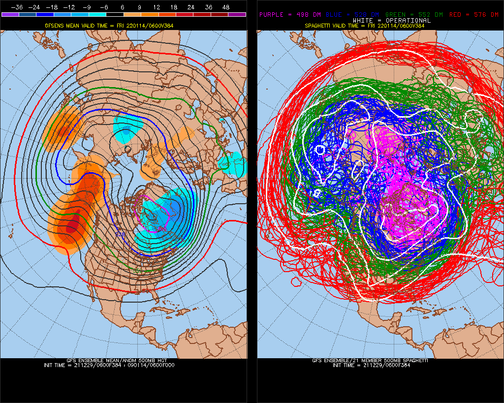
I do think there is a tendency for LR models to overdo -PNA/bias+PNA-closer term after Jan 15. It may even be a neutral/+PDO Pacific (pattern) until sometime in February. Will be interesting to see if the NAO evens it, it's the wild card for Jan 15-31, +NAO signal Feb 7-9, so we might carry right through now to that..
-
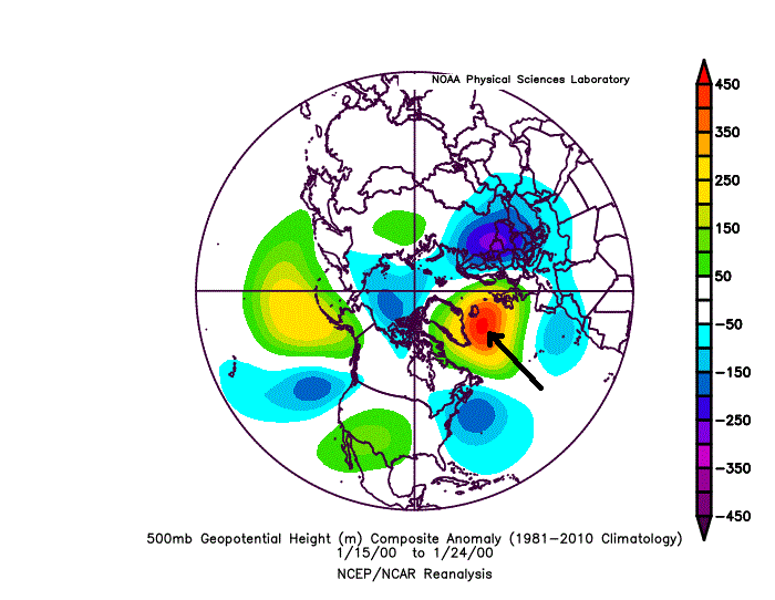
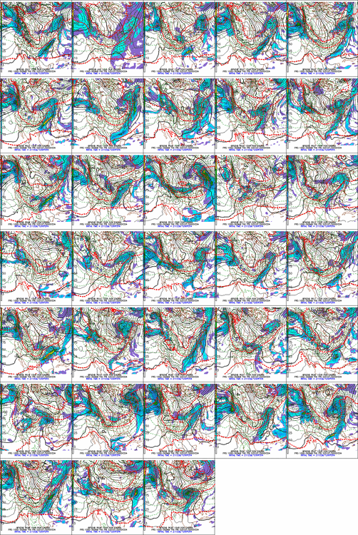
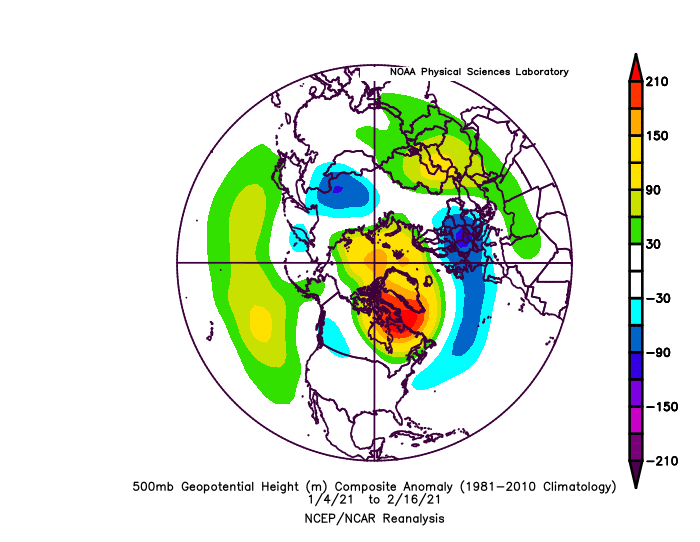
This is the important zone
.gif.6a8c2dd67526e4f87f56f244085fe603.gif)
-
 1
1
-
-
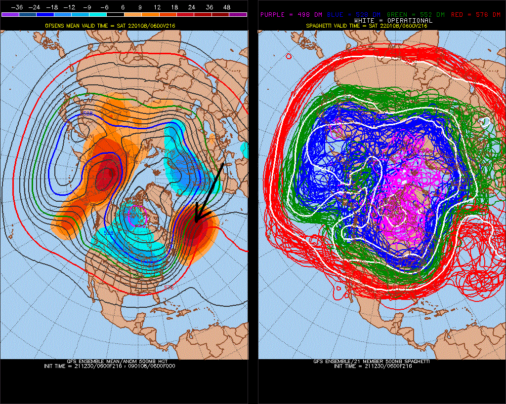
Yeah, the cutoff wave might just weaken/default back to -PNA
-
It's really hard to keep the NAO + this Winter
(97-98, 01-02, 96-97) had -NAO before ~Jan 15th, so you don't have to worry about being shut out so much if the -NAO is persistent after Jan 15th.
-
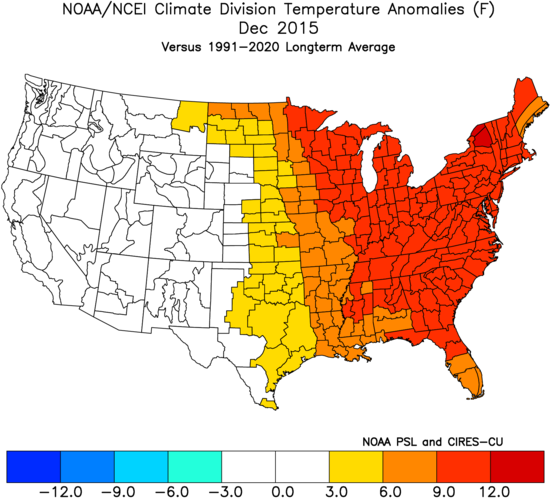
La Nina version of 2015 [(U.S.)]
Watch this one.. 2nd year Nina
-
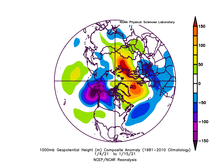
Still say watch 1-08.. no negative anomalies in the arctic
-
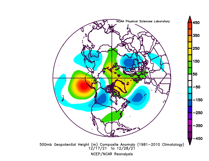
I'm suspicious of the ridge/trough N America. maybe refer to this
NAO trough also seems foreign to the NAO, it probably goes south of a -AO (Arctic circle)
-
Wondering how warm it will get ahead of front
-
I hate the ECMWF ensembles.
-
maybe watch this one
-
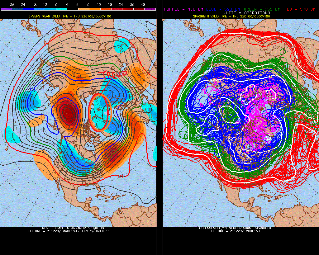
It might actually cool down for a while. Don't expect it to be cold next January though..
Cold probably comes after this. Or after the one after this.
-
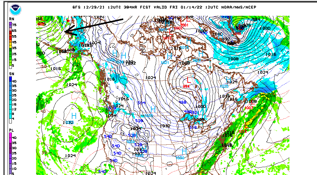
It seems those 384hr storms disappeared about 5 years ago..

-
 2
2
-
-
Beautiful day.. feels like 60.
-
Look at Canada
-
too bad.. coming out of a -NAO no less
-
Imo land vs water right now is why we won't see snow for a little while
-
11 minutes ago, EastonSN+ said:
That's a better look for us than what we have now. The negative NAO RNA combo has been shredding everything.
+PNA/-NAO or -EPO/+NAO does best for snow.
-
1
-
-
^looks suspicious. I doubt the +NAO-region holds.
-
1
-
 1
1
-
-
-
-
I had a cold January.. solar ascending underperforming is 3:2 La Nina vs historical
-
DCA _ NYC _ BOS __ ORD _ ATL _ IAH ___ DEN _ PHX _ SEA
-2.5 -3.0 -3.5 -2.5 -1.0 0 -0.5 2.5 2.0
-
 1
1
-


January 2022
in New York City Metro
Posted
I made a point about this similarities in this pattern, and 10 days before Jan 25, 2000
It will probably shift west, but not as cold
We are coming out of -NAO-storm ^ It was a pretty good -NAO, with 3 cold-waves.