

StormchaserChuck!
-
Posts
2,273 -
Joined
-
Last visited
Content Type
Profiles
Blogs
Forums
American Weather
Media Demo
Store
Gallery
Posts posted by StormchaserChuck!
-
-
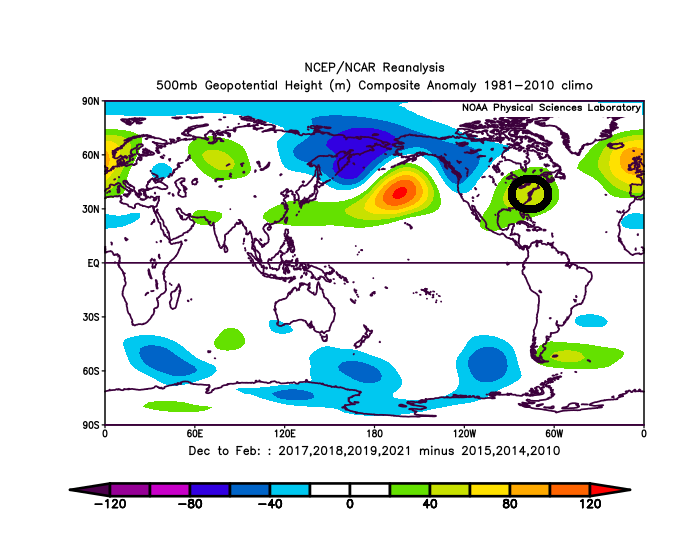
+NPH, +NOI Feb 1-19, really strong signal now. Similar to Strong El Nino's... reverses in March
recent

-
Just now, WinterWxLuvr said:
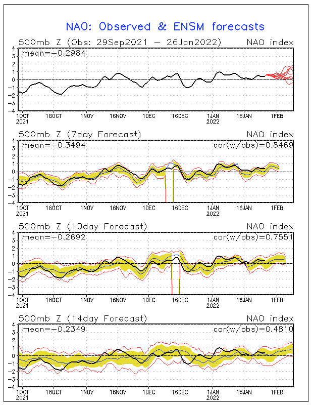
Don’t forget -PNA
Again, unscientific but the reverse December-PNA and last February-PNA is pretty strong. In satellite era, extremes even out.
-
A little unscientific, but we have been reversing last year nicely, Watch for this time to possible trend warmer (+EPO)

-
Let's see what happens here
-
The problem is this +EPO/+NAO.. you know I think this has significant meaning, and it will always trend warmer closer.
It may be hard to pattern change back, we go pretty hard +PDO pattern (+PNA/-EPO) but WATCH FOR THE NAO TO EVEN IT OUT. keeping us on the borderline or above through...little chance of snowstorm.
-
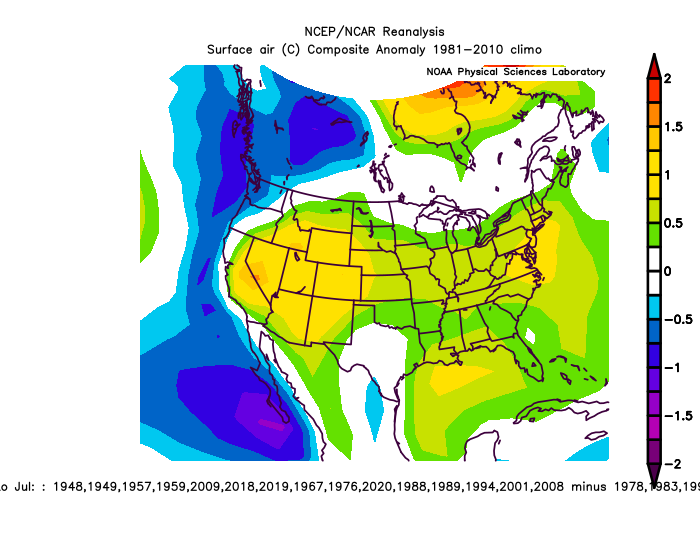
More long range research.. +NPH is a ENSO pattern, +NOI, Feb 1-17
Mar
Apr
Jun
Jul
-
 1
1
-
-
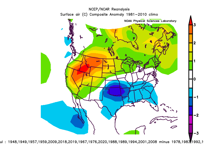
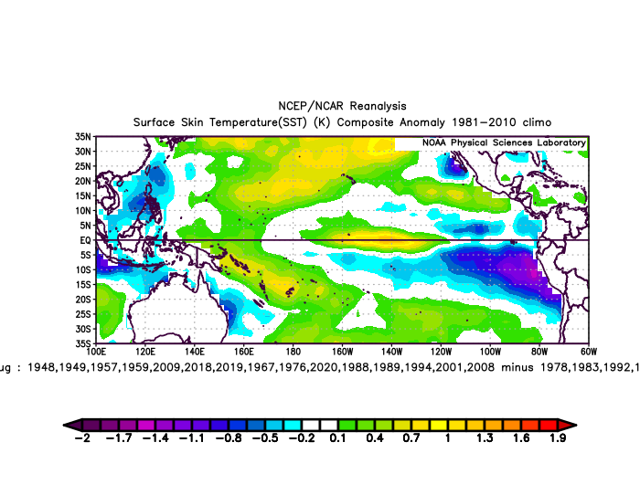
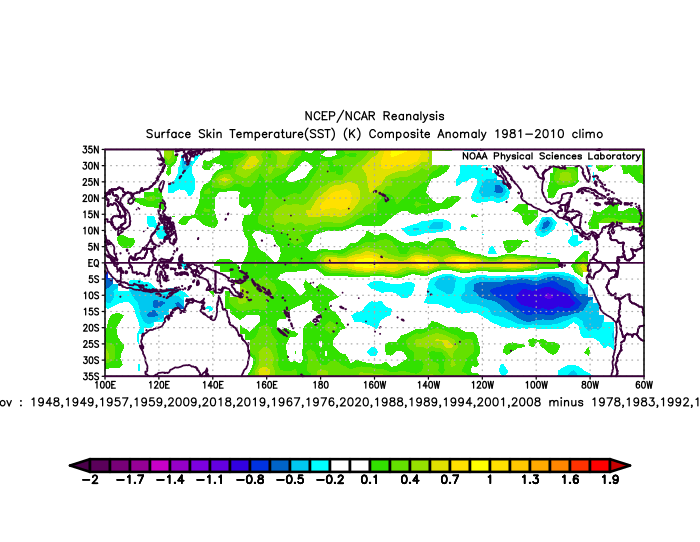
+NPH, Feb 1-17, La Nina NE Pacific pattern, +NOI, since 1948 + and - analogs(20).

-
 1
1
-
-
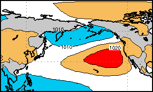
GOA High, La Nina pattern, +NPH, Feb 1-15
^recent
vsince 2000
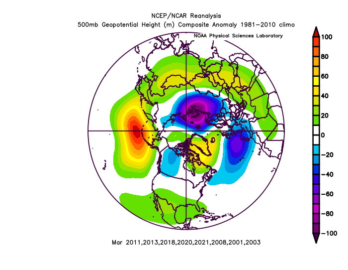
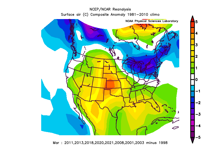
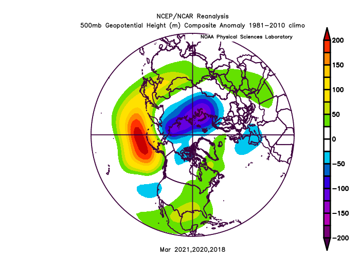
1998-counter, all analogs for March. Same pattern.
-
1
-
-
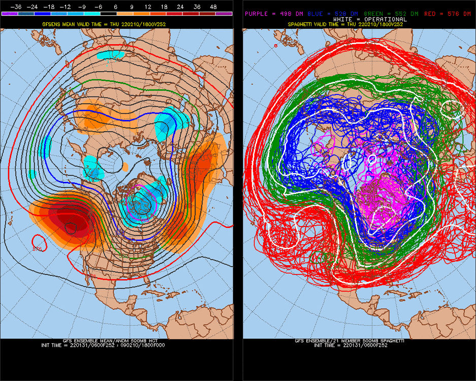
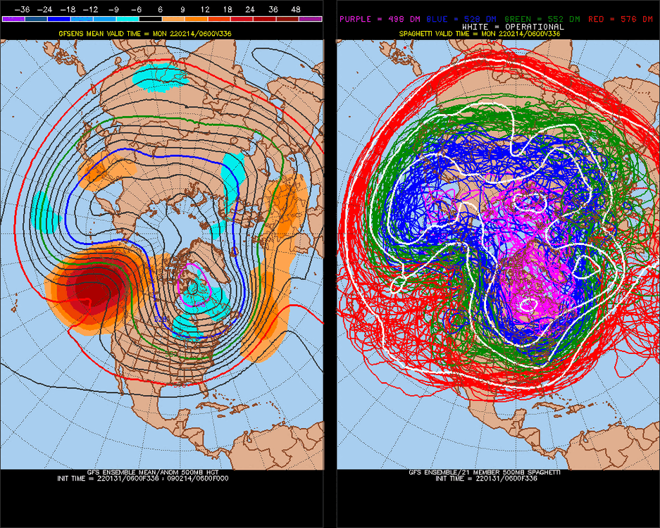
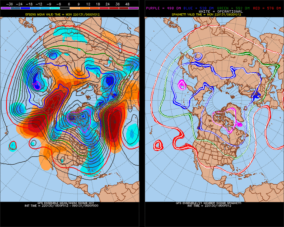
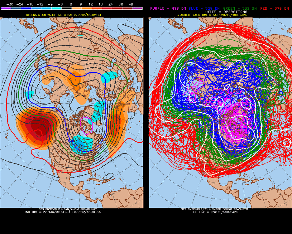
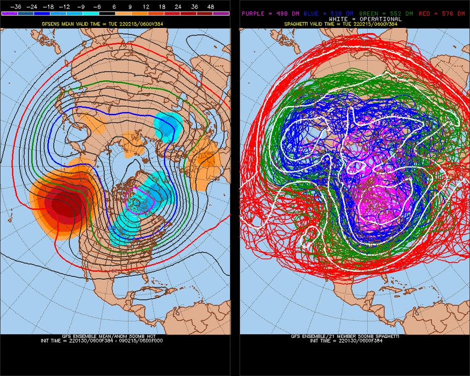
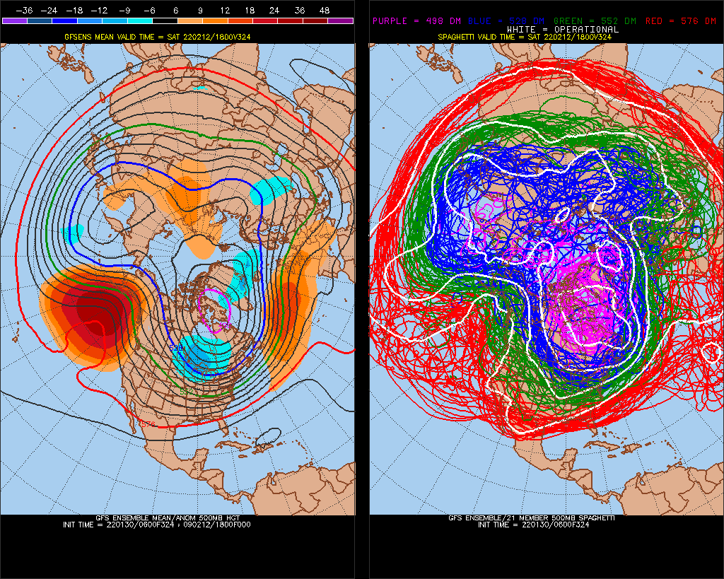
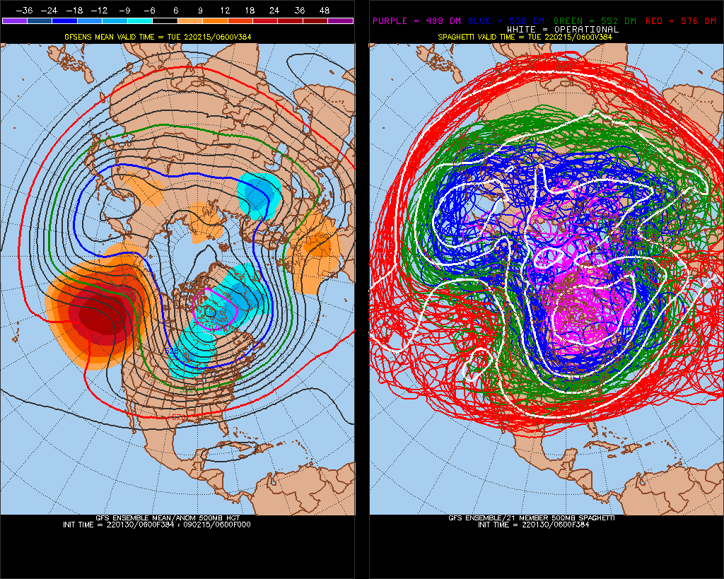
Now vs 384hr
-
hmm
artificial
-
1
-
2
-
-
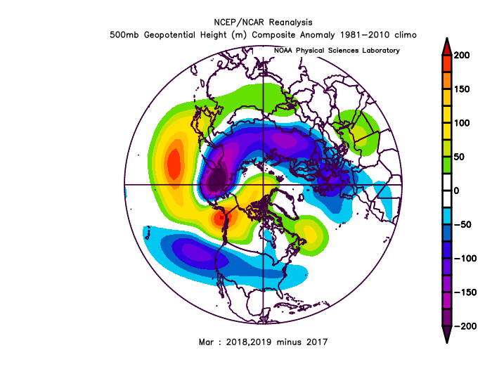
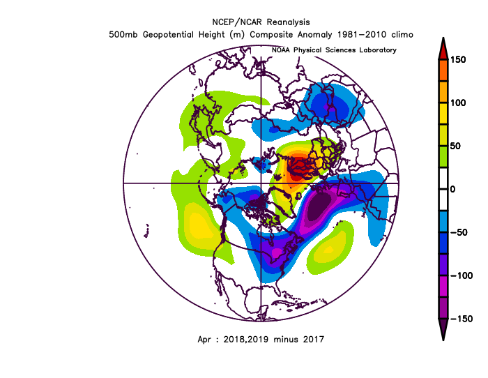
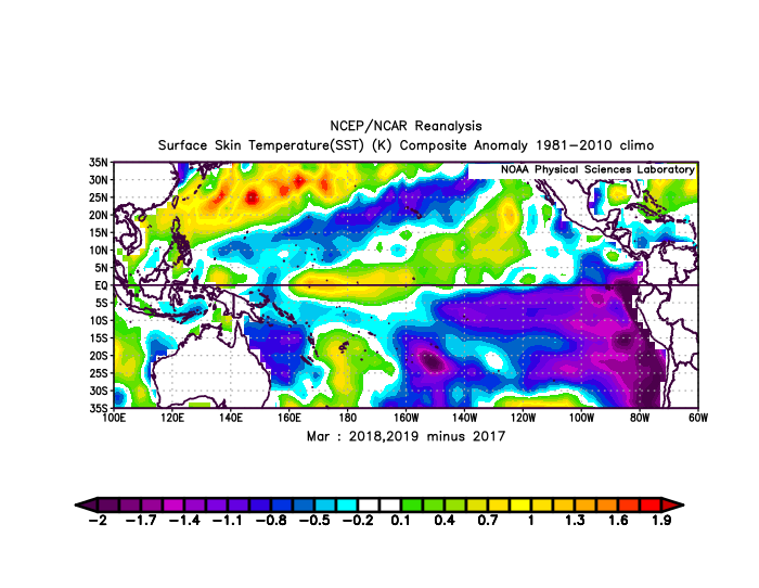
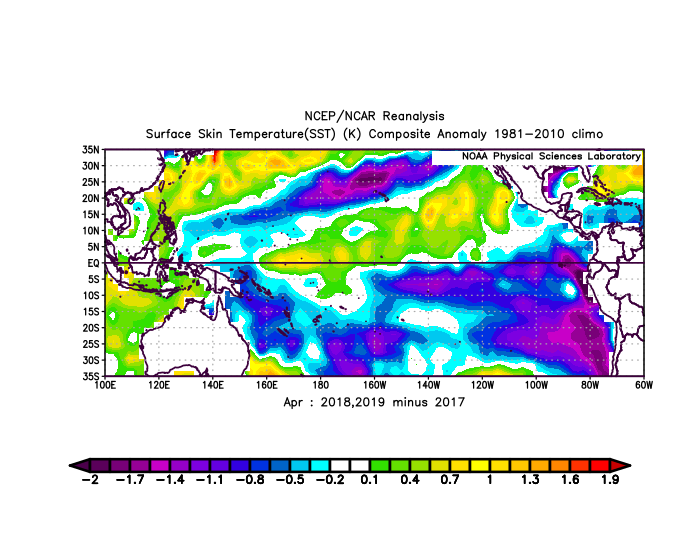
Even 13-14 and 14-15 were La Nina's really, we are lagging in Arctic ice melt I think
-
 1
1
-
-
Global warming cycle.. year 5
-
This is a La Nina hold
.jpg.deef38e76da9b3cb39098f3dcf5d7968.jpg)
-perception that we will be switching phases in the Summer, but I don't think so
-
February's have been wetter than normal but we in a La Nina, and models are dry. If it precip's, I expect snow north of 40N, not that pattern though.
-
2
-
-
I expect continued cold, as -EPO is a colder than forecasted pattern.
-
1
-
-
^stupid person
-
 3
3
-
-
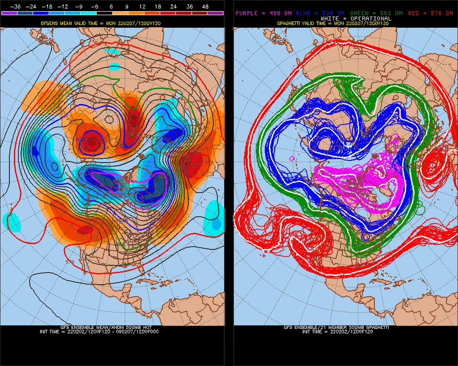
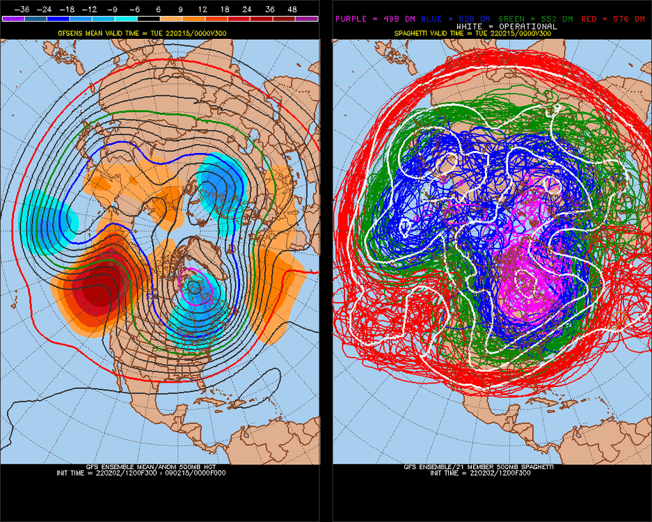
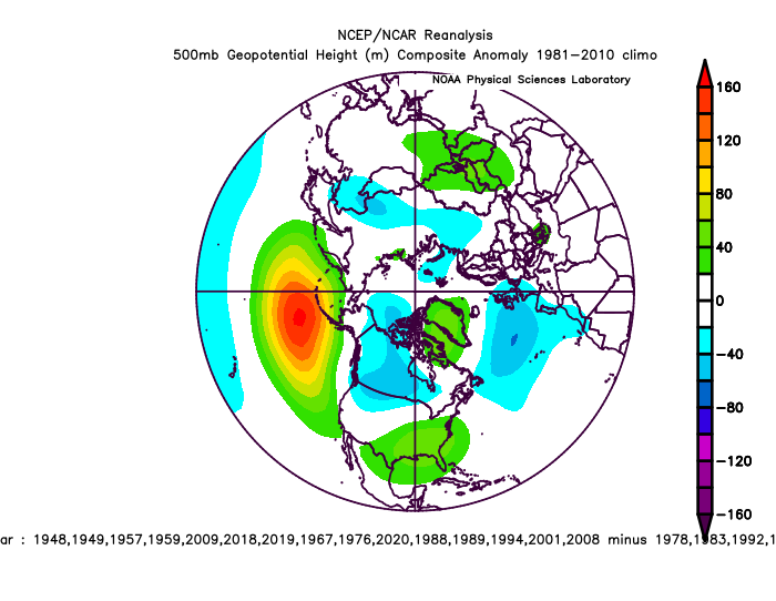
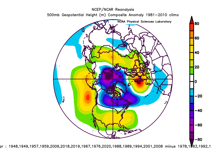
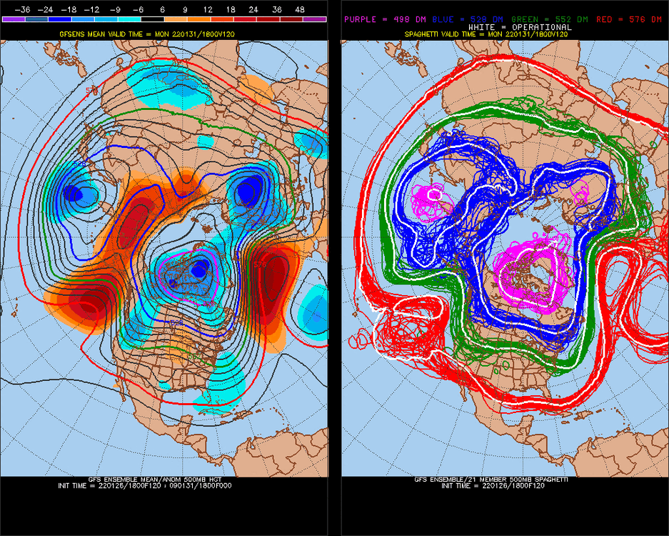
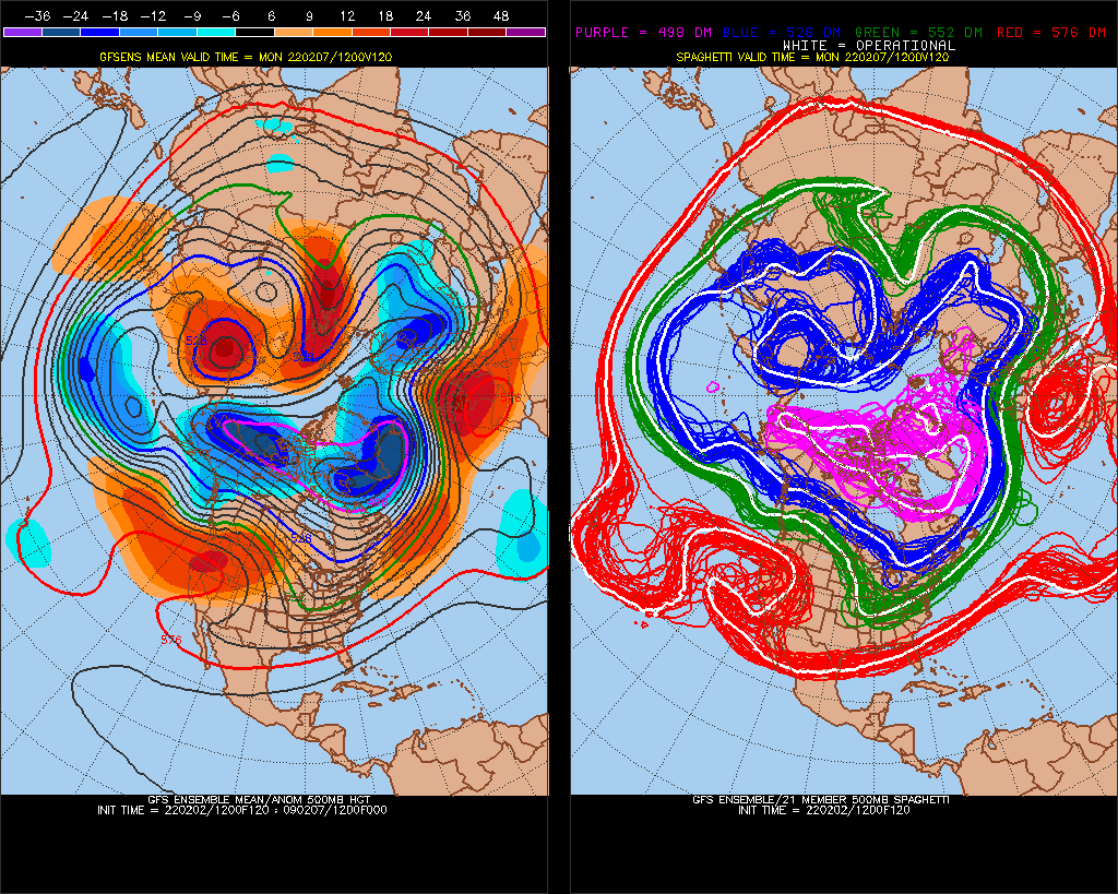
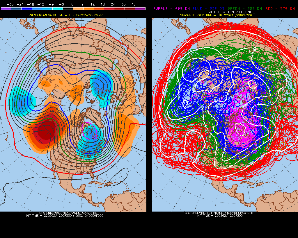
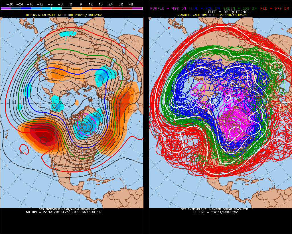
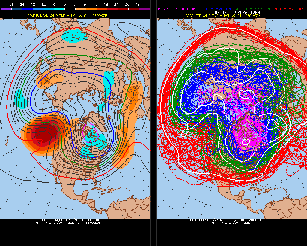
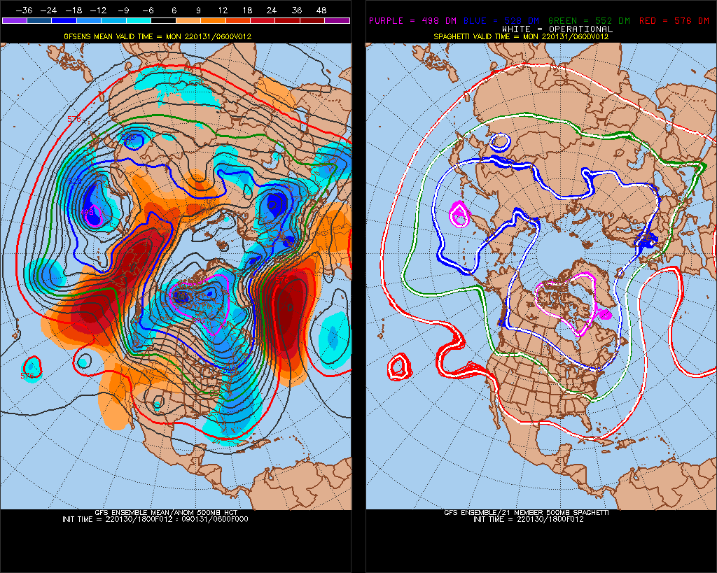
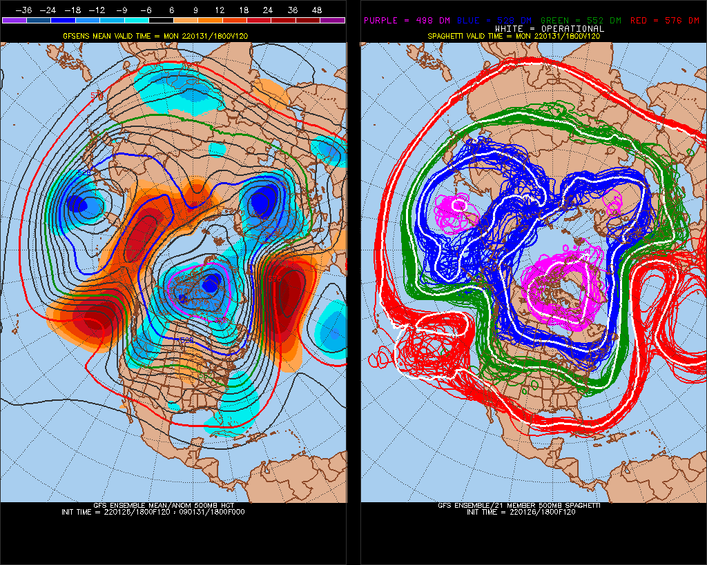
N. Pacific pattern is wobbling more than normal. Usually a +400dm -PNA on LR models doesn't vary a lot, become weaker or stronger, but we went all the way to West coast-ridge/Aleutian trough +PNA in 1 model run. We are going back and forth between balancing December, and consistently having -PNA N. Pacific High.
-
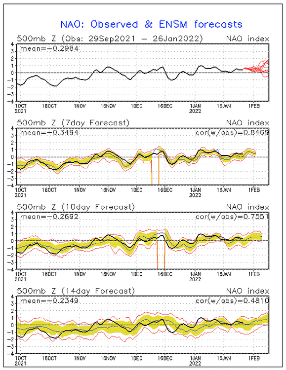
I think we are generally ridging north in the water. -NAO seems to have the most potential for +900dm general anomaly because W->E/
-
1
-
1
-
-
-
looking forward to Oct1 - Feb16 2023
-
we're trying
-
Actually, it's taking up all the water-area of the Gulf of Alaska.
-
1
-
-
-
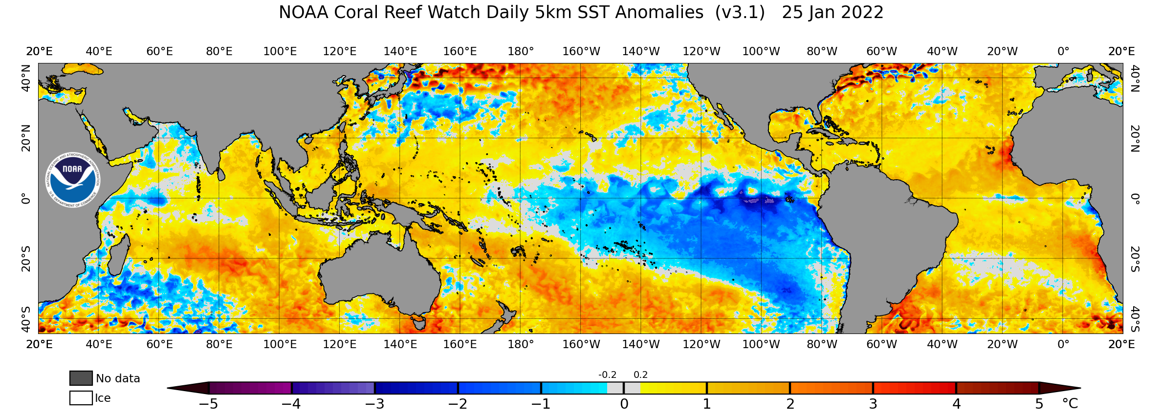
There goes the Kelvin wave..


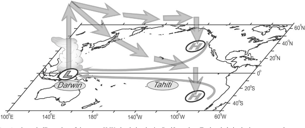
2021-2022 ENSO
in Weather Forecasting and Discussion
Posted
(2008 qualifies, kind of a different pattern 2008 to 2009 though)