Daniel Boone
-
Posts
2,820 -
Joined
-
Last visited
Content Type
Profiles
Blogs
Forums
American Weather
Media Demo
Store
Gallery
Everything posted by Daniel Boone
-
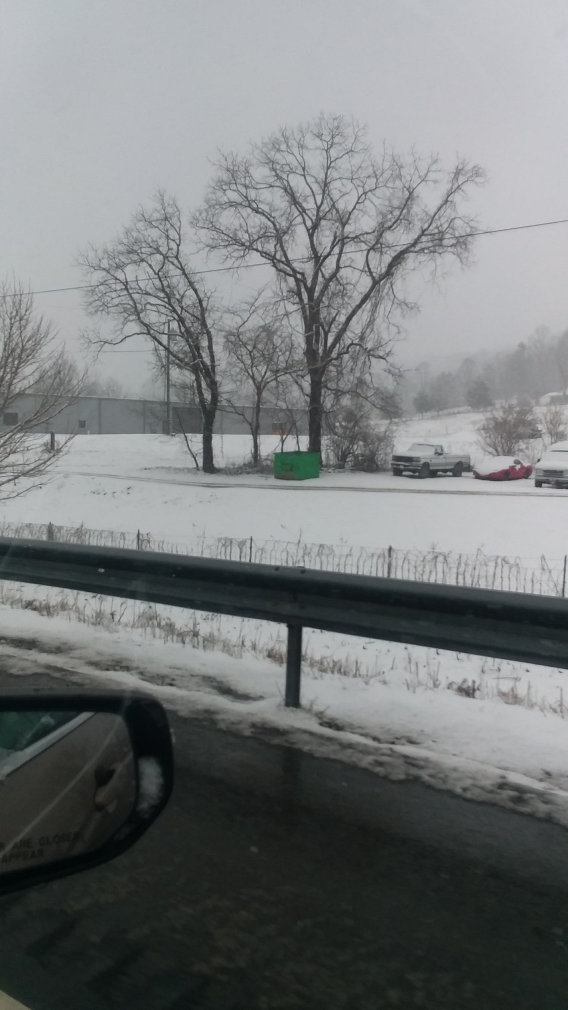
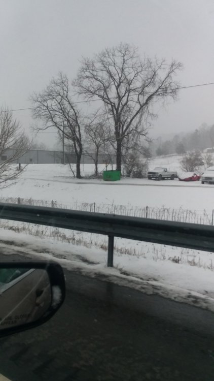
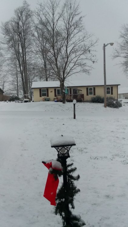
Measured 1.70 " at home with moderate snow falling . Travelled to Middlesboro and took couple pics in Rose hill, where about 3" was on ground . Sun broke thru some breaks in clouds from Ewing to Mboro. Melting taking place there. Got to Mboro and most had melted in town. A heavy squall came thru that was prob. 6" hour rate! Was listening for thunder but, heard none. If had all stuck, would of easily dropped an inch in that 10 minutes. Temp. Here in mboro is above freezing. 35.
-
Heavy Snow showers began while I was leaving Pennington gap about an hour ago. Got home a just s few flakes here. You can see them scattered within the area.
-
I believe somebody's gonna get hammered with this. Ive saw 2 to 4 inches fall in an hour with these type squalls, let alone several inches from synoptic, stratuform snow within closer proximity of the system.
-

January 2021 Medium/Longterm Pattern Discussion.
Daniel Boone replied to AMZ8990's topic in Tennessee Valley
Definitely.. -
January 2021 Medium/Longterm Pattern Discussion.
Daniel Boone replied to AMZ8990's topic in Tennessee Valley
Models still having trouble balancing out trough west and what normally should be ridge east deal to them, with the nowadays rare blocking. Spoke with Kmrx met earlier and was in agreement on that affecting models. Just not alot of input from strong blocking as opposed to the usual non blocking Winters. -
January 2021 Medium/Longterm Pattern Discussion.
Daniel Boone replied to AMZ8990's topic in Tennessee Valley
I can only imagine what a blockbuster Winter we would of had if the Pacific was in a better state. OTOH, minus the blocking and we may just be watching flowers bloom. -
Wise Va Webcam :https://www.uvawise.edu/academics/departments/mathematics-computer-science/webcam
-
January 2021 Medium/Longterm Pattern Discussion.
Daniel Boone replied to AMZ8990's topic in Tennessee Valley
Now that looks like the trajectory/snowfall layout fro alot of the strong blocking years with similar Pacific config.. -
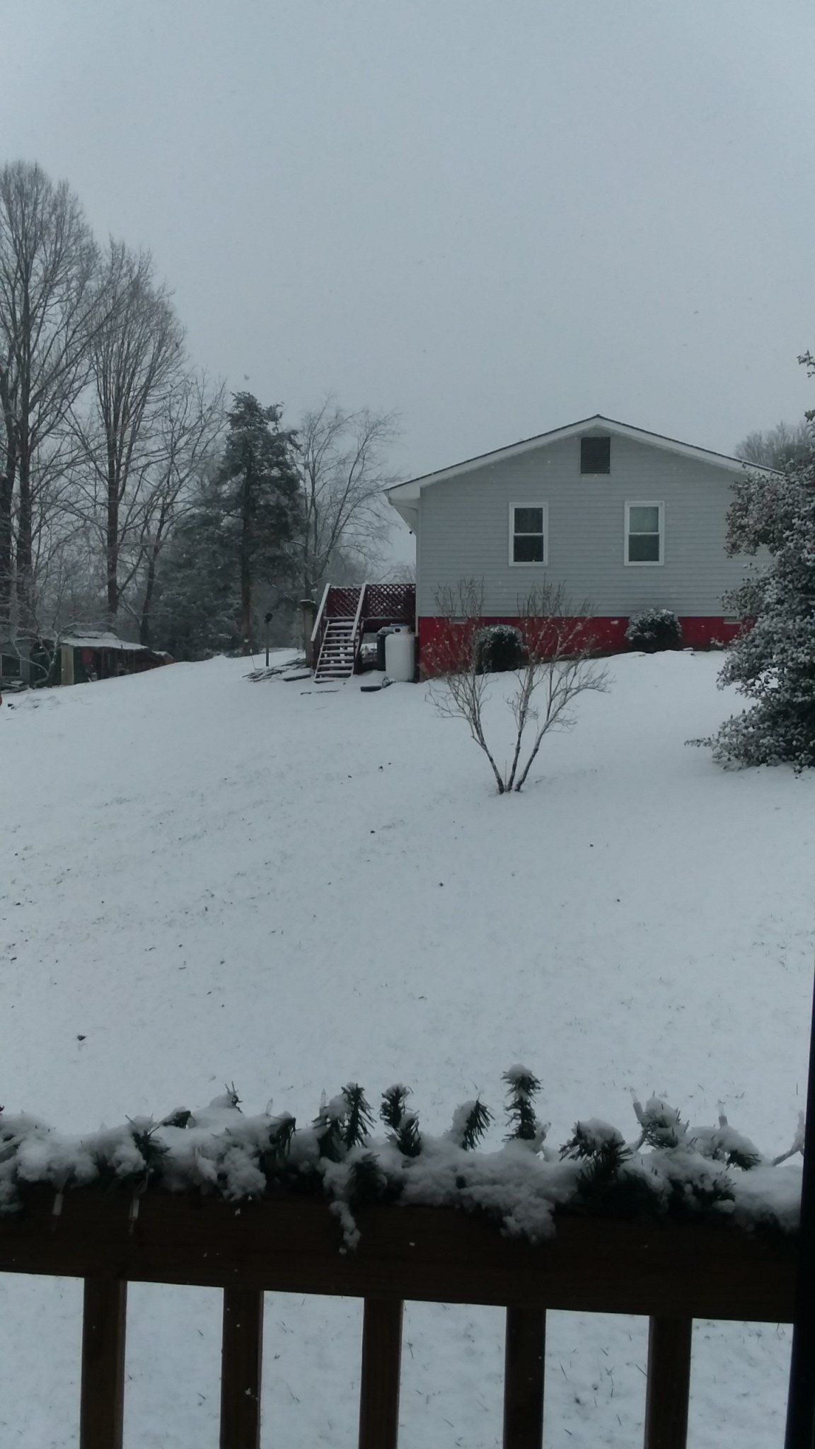
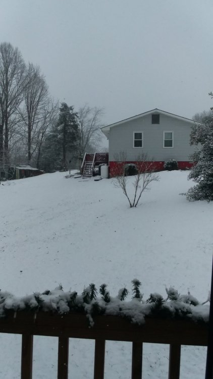
Picked up a heavy dusting here. Temp. Of 33. Had to mod. To heavy at times but couldn't mountbup due to wet ground and above freezing. T. Also, the snow would heavy burst then go light. Even with what rain/mix we got b4 changeover, there's still patches of old snow in shady areas.
-
I wonder if it'll do any better with this one as far as this areas concerned.? For whatever the reason, it has underforecasted amounts for this area every single snowfall this Season, even right up to the event.
-
January 2021 Medium/Longterm Pattern Discussion.
Daniel Boone replied to AMZ8990's topic in Tennessee Valley
Yep. Then the big East Coast Storm hit the 23rd. That one varied big time in the area. Mixing, Downsloping issues in parts of area. Wound up with just 4" from It. Well below forecasted amounts. -
Margie!!! She was fun to watch. Those were the days buddy !
-
January 2021 Medium/Longterm Pattern Discussion.
Daniel Boone replied to AMZ8990's topic in Tennessee Valley
Oh yeah. Remember that one well John. Models had south west/central KY getting up to 8" then rapidly diminishing as system trekked eastward. I recorded 4.7" at my home in Jonesville then. Western Lee, Claiborne had reports of 6 to 7 inches of which were verified by pictures. -
January 2021 Medium/Longterm Pattern Discussion.
Daniel Boone replied to AMZ8990's topic in Tennessee Valley
Yeah, and typically a sharp cutoff on southern boundary. Hopefully, blocking will aid in the southward path. -
January 2021 Medium/Longterm Pattern Discussion.
Daniel Boone replied to AMZ8990's topic in Tennessee Valley
Apparently, some on air Mets don't keep up to date on latest guidance . A couple local Stations Mets obviously going by earlier model data.. They're doing the same as they have with every snow potential event so far this Season. I wonder if anyone calls them on that. Why do they not learn ? Oh well. I always was a stickler for accuracy. Tbh, some are just there for the Job. -
January 2021 Medium/Longterm Pattern Discussion.
Daniel Boone replied to AMZ8990's topic in Tennessee Valley
Now that is 95-96 looking. Nw to SE orientation. That'll get r done ! Miller B transfer A hybrids . Although , NAO block is a little displaced further south than 95-96. "50-50" displaced south as well. IF this comes to fruition , don't know what difference that will make in storm tracks compared to 95-96. I'm thinking maybe better for areas further south and west. Great for all actually. -
January 2021 Medium/Longterm Pattern Discussion.
Daniel Boone replied to AMZ8990's topic in Tennessee Valley
Agreed. We would possibly of had a January akin to the Niña 1950 one(a bit extreme but..) if not for the strong -NAO... Too bad the Niña is there or the strength it is. A weaker, maybe a 95-96 redux or at least a milder version would be great.. better yet , weak to moderate Nino . If we can keep a decent -Nao, we could still turn some of that projected Feb. Ark needed scenario to Sled needing. -
January 2021 Medium/Longterm Pattern Discussion.
Daniel Boone replied to AMZ8990's topic in Tennessee Valley
Whether this makes inroads here remains to be seen. -
January 2021 Medium/Longterm Pattern Discussion.
Daniel Boone replied to AMZ8990's topic in Tennessee Valley
Conflicting signals and pattern drivers causing model mayhem. We definitely need some real cold to get into the mix while we have the blocking if we really want a major widespread snowstorm imo. Can still occur with marginal but, unlikely to be widespread. -
January Storm Term Threat Discussions (Day 3 - Day 7)
Daniel Boone replied to WxUSAF's topic in Mid Atlantic
Lol. Gfs is really fouled up irt that since last "upgrade" . Ive recorded 4 snowfalls here this season and on several occasions it showed that on its runs and it turned out to be snow, to no surprise. -
January 2021 Medium/Longterm Pattern Discussion.
Daniel Boone replied to AMZ8990's topic in Tennessee Valley
Good post. Going on back, Jan../ Feb. 1979 had similar periods that produced abundant snows in the forum area. Btw, saw where CPC has our area above avg. Temps and precip in the 8 to 14 day. The map shows a linear above norm. 40° South, avg to below 40° N. I forget which model was showing that in extended yesterday . But, they went with it like they did in December when Christmas period was projected to be mild. . -
Jan 11-12 Mississippi Mauler: Will it or won't it?
Daniel Boone replied to John1122's topic in Tennessee Valley
The surprise ones are always great. I don't know exact what the culprit is, particularly with the SR Model's, but they appear to be a bit more off lately. I know there's been some talk of the MR one's not getting as much upper air data ingested. Forget reasoning but, did read on it somewhere. -
Picked up 1.2" here this morning bringing seasonal total to 13.6 inches.
-
Jan 11-12 Mississippi Mauler: Will it or won't it?
Daniel Boone replied to John1122's topic in Tennessee Valley
Nice John . Ur in a nice location there for snow within the area. Had a report of 1.5 in western Lee County. Great to have you for reports from there as well as your historical data and insight buddy ! -
Jan 11-12 Mississippi Mauler: Will it or won't it?
Daniel Boone replied to John1122's topic in Tennessee Valley
Temp . 34 here now as it snow continues but have lost about quarter inch from melting in exposed areas as solar thru clouds along with above freezing ambient temp. does it's trick. Total was 1.2"