

Daniel Boone
-
Posts
2,820 -
Joined
-
Last visited
Content Type
Profiles
Blogs
Forums
American Weather
Media Demo
Store
Gallery
Everything posted by Daniel Boone
-

March 11th-13th Winter Weather Event. Winter's last gasp?
Daniel Boone replied to Windspeed's topic in Tennessee Valley
Omg...they are way off ! -
Spring/Summer 2022 Medium/Long Range Forecast Discussion.
Daniel Boone replied to John1122's topic in Tennessee Valley
Yep. Judah Cohen said a Strat split could lead to a cold eastern US. My thinking effects look to be early April. Sure hope not. -
March 11th-13th Winter Weather Event. Winter's last gasp?
Daniel Boone replied to Windspeed's topic in Tennessee Valley
Lol. Yeah really. They definitely won't own it. Their 3-4" forecast for here was less than half of received. What gets me is, with Model trends, Radar and upstream reports it was obvious as of early last evening this would be a major Snow event. -
March 11th-13th Winter Weather Event. Winter's last gasp?
Daniel Boone replied to Windspeed's topic in Tennessee Valley
Snow is melting from the ground up due to ground warmth. Some from Sun also as March Ray's are pretty strong. -
March 11th-13th Winter Weather Event. Winter's last gasp?
Daniel Boone replied to Windspeed's topic in Tennessee Valley
Congrats man ! Storm played out pretty much as expected. Really blew away NWS Forecasted amounts as expected. -
March 11th-13th Winter Weather Event. Winter's last gasp?
Daniel Boone replied to Windspeed's topic in Tennessee Valley
-
March 11th-13th Winter Weather Event. Winter's last gasp?
Daniel Boone replied to Windspeed's topic in Tennessee Valley
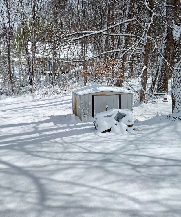
8 inches here in Jonesville now. -
March 11th-13th Winter Weather Event. Winter's last gasp?
Daniel Boone replied to Windspeed's topic in Tennessee Valley
5.5" low-end parts of lawn, 7" on snow board. -
March 11th-13th Winter Weather Event. Winter's last gasp?
Daniel Boone replied to Windspeed's topic in Tennessee Valley
Smart NWS Bunch there. -
March 11th-13th Winter Weather Event. Winter's last gasp?
Daniel Boone replied to Windspeed's topic in Tennessee Valley
You can see the "fingerprint" with that model I discussed earlier. Lol. I am in the process of getting something done about it. Of course it will take awhile to erase affects. -
March 11th-13th Winter Weather Event. Winter's last gasp?
Daniel Boone replied to Windspeed's topic in Tennessee Valley
Yeah, probably is. -
March 11th-13th Winter Weather Event. Winter's last gasp?
Daniel Boone replied to Windspeed's topic in Tennessee Valley
Omg...talk about meteocre forecasting. 3-4" range for a vast, mixed elevation area...why not 3-6" . ? -
March 11th-13th Winter Weather Event. Winter's last gasp?
Daniel Boone replied to Windspeed's topic in Tennessee Valley
About time ! -
March 11th-13th Winter Weather Event. Winter's last gasp?
Daniel Boone replied to Windspeed's topic in Tennessee Valley
But yet last I checked only had WWA out for netn and Scott and Lee Va..at this juncture, I'd say that's just bad business. Use some logic and skill instead of buying into an earlier model run. -
March 11th-13th Winter Weather Event. Winter's last gasp?
Daniel Boone replied to Windspeed's topic in Tennessee Valley
May reach criteria but, doubt NWS issues. They may mention blizzard conditions. -
March 11th-13th Winter Weather Event. Winter's last gasp?
Daniel Boone replied to Windspeed's topic in Tennessee Valley
There's more to it than just the pattern and systems "always" forecasting snowfall lower amounts in the KTRI SWVA Area recently. The Model's ingest previous systems track, intensity, precip/snowfall data from numerous NWS and Coop affiliated Stations. January's pattern with these parameters has left a fingerprint with them. Also, there's data flowing into the System from a local Station in Pennington gap. It is in a terrible location to reflect the area's weather. It also doesn't meet NWS siting location Guidelines as it's TH Sensors are just 10-15 feet from a metal structure. Also, the city employees man it and they are less than caring, so to speak. This is the only official station between Middlesboro and KTRI. There's your reflection on Model's. -
March 11th-13th Winter Weather Event. Winter's last gasp?
Daniel Boone replied to Windspeed's topic in Tennessee Valley
Let's hope the rgem retakes it's crown it had last winter. Damn 0z Nams a Debbie downer. Hopefully, it's not onto something and just being it's wacky self. -
March 11th-13th Winter Weather Event. Winter's last gasp?
Daniel Boone replied to Windspeed's topic in Tennessee Valley
Yeah, that is a concern. Hopefully the strong forcing along the arctic front will mitigate that somewhat and be able to pull the moisture mainly up this way. Storms that fire within the moisture transport route are always a worry. -
March 11th-13th Winter Weather Event. Winter's last gasp?
Daniel Boone replied to Windspeed's topic in Tennessee Valley
Kmrx reasoning with their present Totals projection is warm ground and "fast movement". Ground Temps here are not that warm now as that last inch rainfall fell with temps in the lower mid 40's therefore cooling it quite a bit. -
March 11th-13th Winter Weather Event. Winter's last gasp?
Daniel Boone replied to Windspeed's topic in Tennessee Valley
Yeah man . Hammer time with that ! -
March 11th-13th Winter Weather Event. Winter's last gasp?
Daniel Boone replied to Windspeed's topic in Tennessee Valley
Foot or more call for the Plateau is looking good. -
March 11th-13th Winter Weather Event. Winter's last gasp?
Daniel Boone replied to Windspeed's topic in Tennessee Valley
That's KMRX younger generation Mets for you there -
March 11th-13th Winter Weather Event. Winter's last gasp?
Daniel Boone replied to Windspeed's topic in Tennessee Valley
Just looking over some archived data of the March 2-3 1942 Snowstorm. That storm tracked from around Mobile thru the upstate then west of Hatteras to off Jersey Coast. That Storm still stands as the biggest Snowfall in most of Lee County on Record. Reportedly 34" in Jonesville. 36" in Pennington gap we're measured. Asheville received 16" from it. That Storm dumped on a huge area. Stretching from Ne Ga to Maine and back to eastern Ohio Valley. Of course, this one will be nothing like that although, track and some 500 mb features are similar. You can find map data on NOAA's daily weather map archived page. Also, photos from Pittsburgh of it where over 2 feet fell.. -
March 11th-13th Winter Weather Event. Winter's last gasp?
Daniel Boone replied to Windspeed's topic in Tennessee Valley
Bingo ! Excellent point Carvers. I've saw many March storms overperform by a large margin. -
March 11th-13th Winter Weather Event. Winter's last gasp?
Daniel Boone replied to Windspeed's topic in Tennessee Valley
Yeah, that would be a good thing and quite possibly allow for the higher end totals.


