Itstrainingtime
-
Posts
19,381 -
Joined
-
Last visited
Content Type
Profiles
Blogs
Forums
American Weather
Media Demo
Store
Gallery
Everything posted by Itstrainingtime
-

Central PA Winter 2022/2023
Itstrainingtime replied to Blizzard of 93's topic in Upstate New York/Pennsylvania
KBUF is reporting zero visibility on their latest observations. Epic winter continues up there, especially in the southtowns. -
Central PA Winter 2022/2023
Itstrainingtime replied to Blizzard of 93's topic in Upstate New York/Pennsylvania
The way that my wife is running the oven and the stove...it's coming... -
Central PA Winter 2022/2023
Itstrainingtime replied to Blizzard of 93's topic in Upstate New York/Pennsylvania
Yes, I'm in shorts. That's a given. -
Central PA Winter 2022/2023
Itstrainingtime replied to Blizzard of 93's topic in Upstate New York/Pennsylvania
Down to 18.8 here. A little brisk - definitely a sweatshirt kind of afternoon out there. -
Central PA Winter 2022/2023
Itstrainingtime replied to Blizzard of 93's topic in Upstate New York/Pennsylvania
Not a flake in Maytown today. -
Central PA Winter 2022/2023
Itstrainingtime replied to Blizzard of 93's topic in Upstate New York/Pennsylvania
I was dispatched by my dear wife to make a trip to Giant. It was madness. Just when I was up next at the checkout, the power went out. It came right back on, but it still triggered an additional 5 minute wait for the registers to reboot. I will also add that on my drive home, the roads are already 50-75% dry. I don't foresee to many icing issues. -
Central PA Winter 2022/2023
Itstrainingtime replied to Blizzard of 93's topic in Upstate New York/Pennsylvania
Snowing here in Mount Joy. -
Central PA Winter 2022/2023
Itstrainingtime replied to Blizzard of 93's topic in Upstate New York/Pennsylvania
My only amateur thought on the front - it's 38.6 here. Down 16 degrees since 3am. So if the front hasn't cleared here, something has caused a rather large temp drop already. -
Central PA Winter 2022/2023
Itstrainingtime replied to Blizzard of 93's topic in Upstate New York/Pennsylvania
40.2 and windy. Highest temp here was 53.5 at 2:17am. -
Central PA Winter 2022/2023
Itstrainingtime replied to Blizzard of 93's topic in Upstate New York/Pennsylvania
Heavy rain, windy, and 46. -
Central PA Winter 2022/2023
Itstrainingtime replied to Blizzard of 93's topic in Upstate New York/Pennsylvania
Just reached .50" here with moderate rain falling. -
Central PA Winter 2022/2023
Itstrainingtime replied to Blizzard of 93's topic in Upstate New York/Pennsylvania
No it's not, and it won't be for another hour. -
Central PA Winter 2022/2023
Itstrainingtime replied to Blizzard of 93's topic in Upstate New York/Pennsylvania
Moderate rain has arrived and brought with it the anticipated spike in temps - up 5 degrees over the past 30 minutes to 41 now. -
Central PA Winter 2022/2023
Itstrainingtime replied to Blizzard of 93's topic in Upstate New York/Pennsylvania
Send that rain my way. -
Central PA Winter 2022/2023
Itstrainingtime replied to Blizzard of 93's topic in Upstate New York/Pennsylvania
Drizzle and 37. .33" of precip so far - a long way from the 2"+ forecast. We shall see... -
Central PA Winter 2022/2023
Itstrainingtime replied to Blizzard of 93's topic in Upstate New York/Pennsylvania
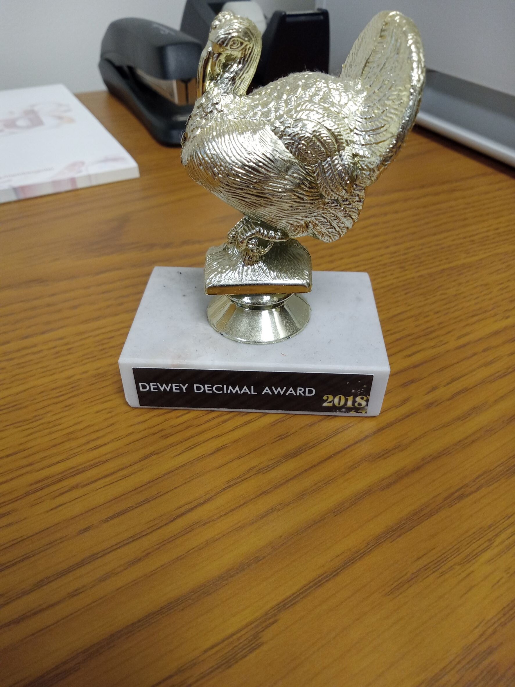
I'm not sure other than there were multiple awards distributed for people with quirks. I guess we're all "turkeys" because of that. LOL -
Central PA Winter 2022/2023
Itstrainingtime replied to Blizzard of 93's topic in Upstate New York/Pennsylvania
Yeah...so about numerical accuracy - I received this at a company banquet a few years ago. Apparently my work peers think I'm sort of deranged numbers person:
-
Central PA Winter 2022/2023
Itstrainingtime replied to Blizzard of 93's topic in Upstate New York/Pennsylvania
Trust me, I'll remember. I've waited for years for a cold front like this to come through. I'm done with work until 1/3 so I'm going to stare at my station and enjoy the temp drop show. -
Central PA Winter 2022/2023
Itstrainingtime replied to Blizzard of 93's topic in Upstate New York/Pennsylvania
So fond of your area - went to Doubling Gap every year as a kid and still like to visit Colonel Denning at least once a year. -
Central PA Winter 2022/2023
Itstrainingtime replied to Blizzard of 93's topic in Upstate New York/Pennsylvania
Tomorrow will ultimately be remembered for the wind, cold, and we'll have to see about any snow. The fact that it'll probably be around 50 early in the day will be long forgotten. It really is deceiving given what the majority of the day is going to feature in terms of sensible weather. -
Central PA Winter 2022/2023
Itstrainingtime replied to Blizzard of 93's topic in Upstate New York/Pennsylvania
Love the "Heavy Freezing Spray Warning" -
Central PA Winter 2022/2023
Itstrainingtime replied to Blizzard of 93's topic in Upstate New York/Pennsylvania
See above - I do not think they're too conservative. I've watched a lot of WWA's they've issued for my area result in scattered puddles. We tend to forget those... -
Central PA Winter 2022/2023
Itstrainingtime replied to Blizzard of 93's topic in Upstate New York/Pennsylvania
I admit, I'm the first one to defend them. I think, my opinion...you worded your comment very well. For all the people crying about not issuing a WWA, I'll point out a couple of observations: They issue FAR more winter weather headlines (WWA, WSW, etc.) that do NOT pan out than times when criteria is met with nothing issued There is a razor sharp edge to this event in terms of ground truth - I just had someone here in my office, I'm showing them some of the pictures that are being posted, and they're asking me where do these people live. I tell them that the pictures are coming from York, Adams, Dauphin counties etc. and they are stunned. There's literally nothing here. All that said - they should have updated with SOMETHING for York and Dauphin counties. No arguing that. -
Central PA Winter 2022/2023
Itstrainingtime replied to Blizzard of 93's topic in Upstate New York/Pennsylvania
Very large difference in conditions in close proximity - it's just rain and 33 here at work. Zero evidence already that anything wintry occurred. -
Central PA Winter 2022/2023
Itstrainingtime replied to Blizzard of 93's topic in Upstate New York/Pennsylvania
I feel like this map so far looks fairly accurate - my office is right on the edge of the blue - and there was just a trace of snow here. My home is well within the blue, and there's much more snow there than here at work. Any posters east of the blue line who are seeing snow?