tuanis
-
Posts
763 -
Joined
-
Last visited
Content Type
Profiles
Blogs
Forums
American Weather
Media Demo
Store
Gallery
Everything posted by tuanis
-
Thread would be bumpin just a few weeks ago
-
Topped it off as the arctic front was blowing in
- 650 replies
-
- 28
-

-
Gotta love an arctic front
-
Was using my iPhone to record one of the heavier bands about 30 mins ago and think I may have captured the only flash of lightning I've seen today. I noticed it with my eyes first and the video backed my brain up. It's subtle and nothing showed up on radar, but but take a look. About 33 seconds in after the video flips to slo-mo and pans up to the sky. Apologize for the portrait video, total rookie move. The lamp reflection is pretty tacky too. YouTube is supposedly still processing the HD version (not that it will make much of a difference).
-
This. We'll get our best accumulations separate from the best rates. The showery/convective depiction on radar, melting during lulls, dripping from trees reminds me of a spring system. Sure won't feel like spring in a couple hours.
-
Maybe a half inch so far. Poor accumulation rates, but fun to watch the big flakes fall for sure. It’ll stick better as the afternoon progresses. Front looks to be approaching the I-39 corridor over the next hour or so. It cleared DVN about an hour and a half ago.
-
Area of subsidence passed through quickly, back to the fatty fiesta.
-
Big fatties
-
Should have no problem accumulating with rates like that. Did temps drop with dynamic cooling?
-
HRRR seems pretty spot on with the heaviest amounts in that area/Dubuque area up through NE Wisconsin/UP.
-
I wouldn't worry much about what the temperature does between now and the flip early this afternoon. Still think we'll see about 2"-3" of new snow this afternoon.
-
Why odd?
-
If this one pans out and another .75”-1” of mostly frozen falls on top of whatever we’ve already got, I pray for a slow and steady thaw at some point. The active pattern and eventual potential for a warm, heavy rainstorm spells trouble.
-
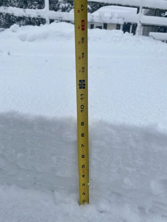
Goes to show we really don’t understand all of the aspects of lake enhancement. LOT emphasized repeatedly on their Q&A yesterday that since this was a “warm storm” from the Pacific they didn’t expect any enhancement from the lake. Yet yesterday’s runs of the HRRR will largely work out close to the lake. This storm was moisture-laiden, could that be playing a role in the lake enhancement? About 11” and counting here.
-
Seems like the snow got wetter as the storm went on. The stuff early on was decent-ratio. There’s definitely a layer of wet stuff in there. Here’s where I’m at. Definitely some serious depth. Hope we don’t get a heavy rain on top of this.
-
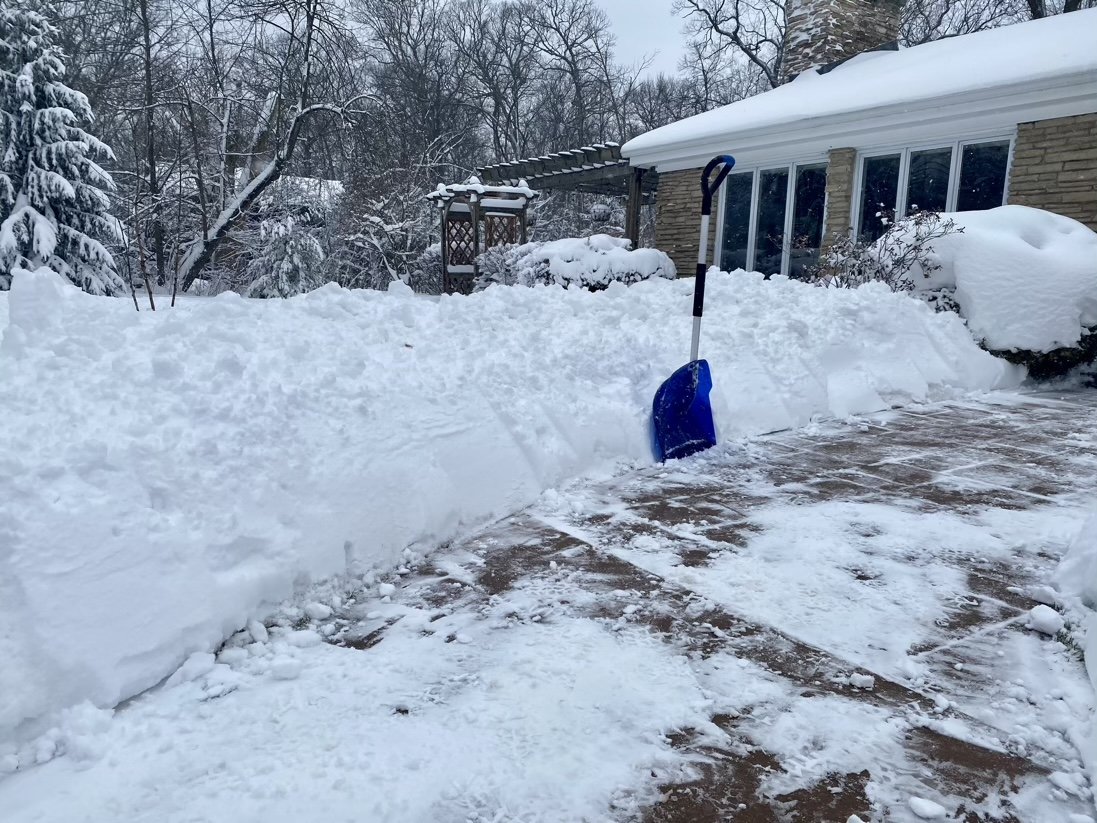
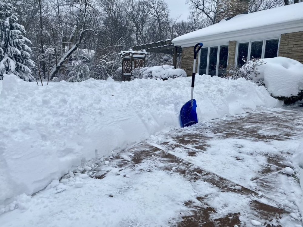
9.5” fresh on the driveway. Lake really contributing now.
-
What a straight up dumping. Snowblower is straining a bit. Hope I don’t bust a belt!
-
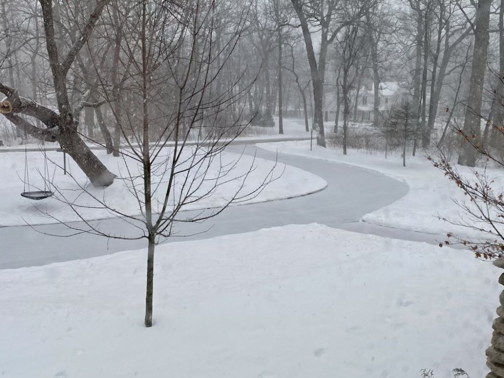
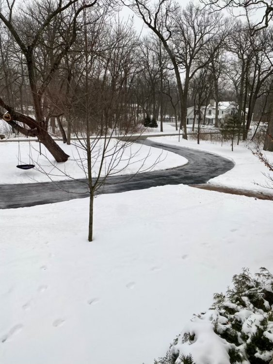
Finally looks like legit winter on the lakefront
-
Congrats!

-
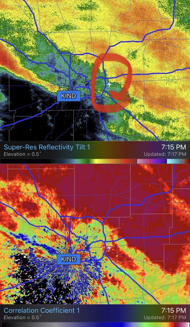
CC shows the rain/snow line dropping south quick in Iowa. Pretty cool looking. Indy about to flip.
-
Concur on the consistency of what’s fallen. The fresh stuff is blowing off the roof nicely. Feels similar to what fell earlier this week. Not the kind of snow that cakes to street signs. Still borderline SN here. The sleet lasted all of 20 mins at onset.
-
Didn’t take long at all. Rippin.
-
Flakes with some sleet mixed in. Sticking on the driveway. Bring it on Ma Nature.
-
Wish it was mobile friendly. Missing the NWS composite radar with the white background.
-
Most models kicking out 0.75"-1" QPF in the Chicago metro before much lake contribution. I'll ride my 8.5". While short duration and ratios may hurt things a bit, it's clearly in reach. Also still wouldn't be surprised to see some drizzle after the main WAA dumpage moves through. Maybe even some mixing/rimed flakes at onset. Per the HRRR it doesn't look a wall of heavy snow anymore, but still ramps up nicely.