tuanis
-
Posts
763 -
Joined
-
Last visited
Content Type
Profiles
Blogs
Forums
American Weather
Media Demo
Store
Gallery
Everything posted by tuanis
-
Dry slot fail
-
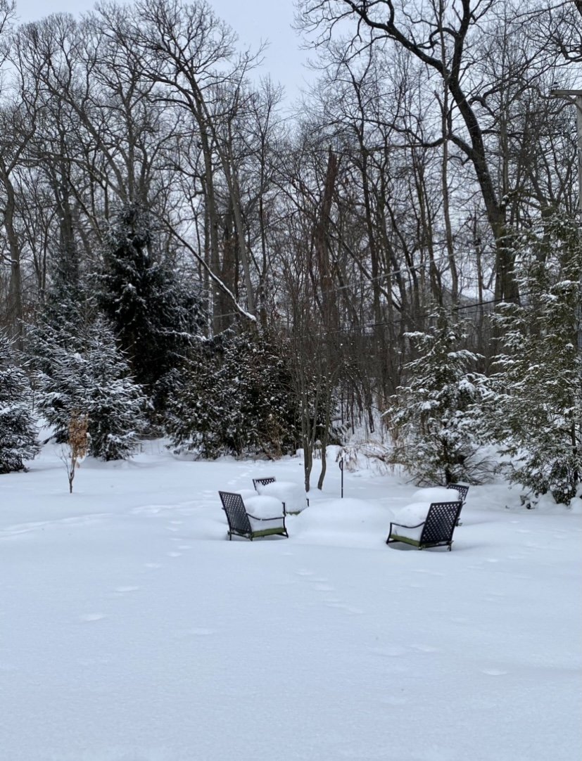
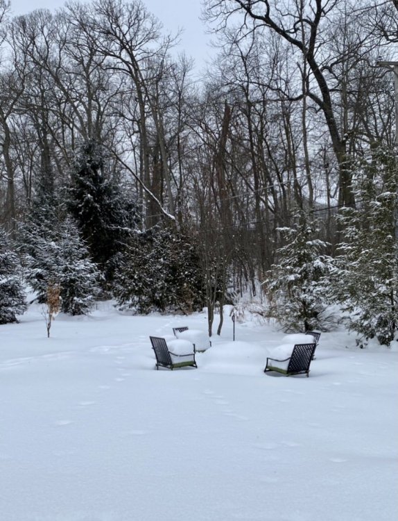
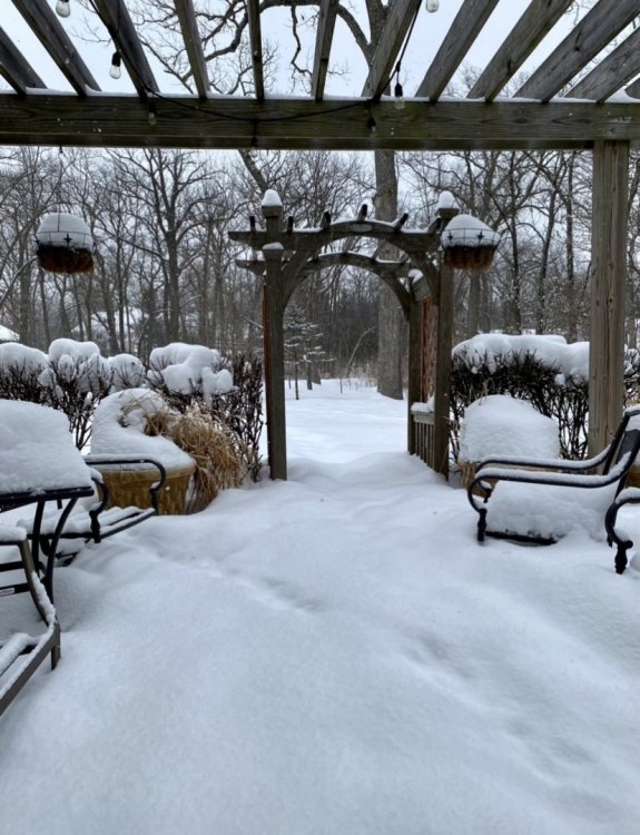
Still solid here in the lulls. 1.5” accumulated quickly.
-
That was legit!
-
Fluffy Floaty Fatties™ coming down at a solid clip. Everything nicely covered once again.
-
Think we peaked yesterday (Tuesday). MDW compacted by 3” between Tuesday and Wednesday, and with warmer temps on the way (at last) and the late Feb sun, we’ll lose a few more. Regardless, what a month!
-
Puking snow now. Took a bit to get there. Let ‘er rip.
-
First flakes falling. Not expecting much til tomorrow evening. I’m calling 6” here but it could go either way. Hope the lake surprises.
-
The fluff settles/sublimates quick. I doubt it’s much more than that.
-
This one really brings me back to my younger days and trying to descramble Skinimax. The trend is our friend for Monday’s storm. Keep it coming.
-
Feb 12-14th V-Day Weekend Potential Stuff
tuanis replied to Chicago Storm's topic in Lakes/Ohio Valley
Very distinct sun pillar from suspended ice crystals above the setting sun about an hour later too. Even my wife commented on it. -
Feb 12-14th V-Day Weekend Potential Stuff
tuanis replied to Chicago Storm's topic in Lakes/Ohio Valley
Sun emerged and the cloud deck cleared quickly behind the last band. Almost felt like a MCS clearing the area, except it was like 6 degrees and there’s a foot and a half of snow on the ground. -
Feb 12-14th V-Day Weekend Potential Stuff
tuanis replied to Chicago Storm's topic in Lakes/Ohio Valley
Steady moderate snow for the past 45 mins or so. Best rates of the event so far. -
Feb 12-14th V-Day Weekend Potential Stuff
tuanis replied to Chicago Storm's topic in Lakes/Ohio Valley
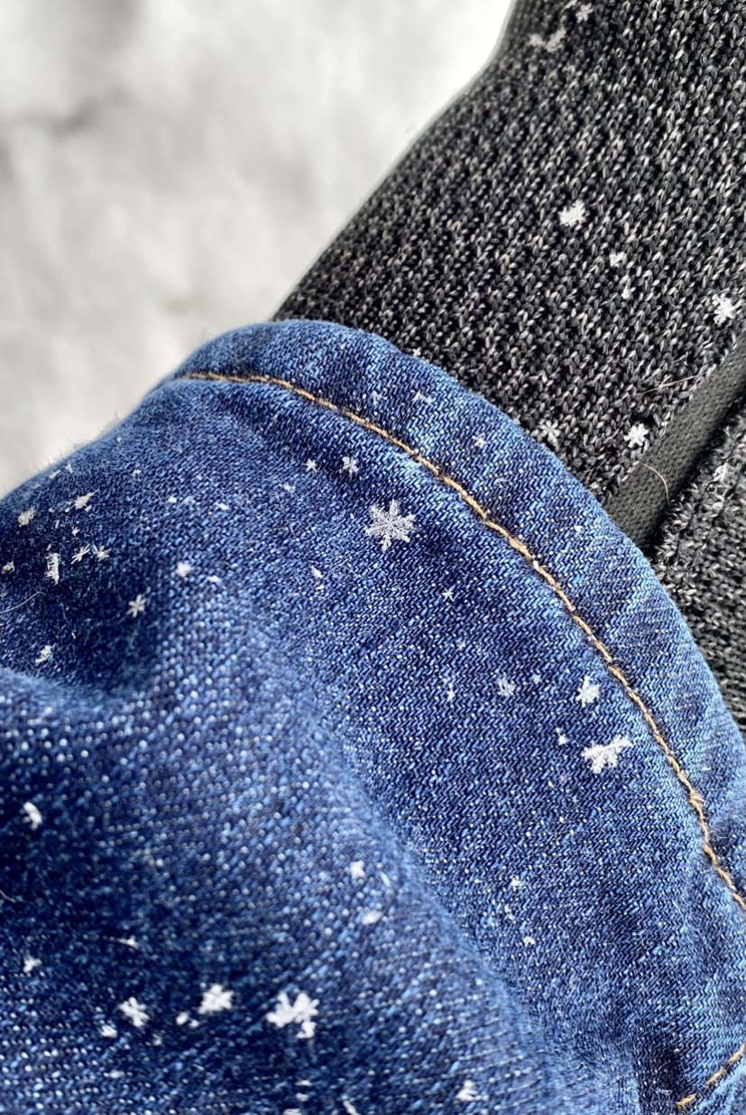
Classic looking dendrites. Deep snow is deep. Real deal winter.
-
Feb 12-14th V-Day Weekend Potential Stuff
tuanis replied to Chicago Storm's topic in Lakes/Ohio Valley
Nice lookin steady light snow in an arctic airmass with a deep base. Nice to wake up to on a weekend morning. Good stuff. -
Anyone seen any snow reports from northern Cook north of Evanston? Based on this afternoon's radar and the update above I'd guess 3"-4". Lake plume is finally beginning to shift north into Lake County. Let's see how transient it is. Yesterday's 3K NAM had a good read on the movement of the plume today.
-
Can make it out clearly on COD radar. Pretty sweet looking.
-
LOT popped off the advisory for Central Cook, Northern Cook, DuPage, and Lake for 2"-4"
-
Sounds reasonable. Lake band is looking a bit more impressive. Imagine the Winnetka/Wilmette area has picked up an inch or two. Flurries have commenced here.
-
Thinking MSN to MKE is in a good spot for a few fluffy inches. Should be a decent refresher down here, hoping for a boost from the lake. Would like to see the lake band move overhead and beef up as returns move in this afternoon/evening.
-
EarthCam from the Field is a fun watch rn. Thinking we won’t see the goods up here until the afternoon.
-
Bright and sunny morning here. Bring it.
-
12Z 3K NAM parks a decent looking band over northern Cook and Lake (IL) for several hours tomorrow. As always, hard to say if much will come out of it. Other hires models don't back it as far west.
-
Feb 12-14th V-Day Weekend Potential Stuff
tuanis replied to Chicago Storm's topic in Lakes/Ohio Valley
Sorry to say I-80 is a dividing line for multiple storms pretty much every winter. -
That’s a solid looking band. Should lead to some surprises.
-
Decent light snow atm, flake size is definitely bigger than pixies, but the band looks transient