tuanis
-
Posts
751 -
Joined
-
Last visited
Content Type
Profiles
Blogs
Forums
American Weather
Media Demo
Store
Gallery
Everything posted by tuanis
-
Iowa City Pentacrest webcam looking pretty legit: https://osc.uiowa.edu/pentacrest-webcam
-
Temps looking too warm (again) in NE IL. It'll probably come down decent but won't add up to much even with the overnight timing. Thinking Alek's 3" call busts high and we end up with an inch or two of slop even up here. Better accumulations north of the border maxing out around 5" in central/southern WI. Remember when models were overloaded with moisture and painting feet of snow with this one? Saturday overnight looks pretty marginal/craptastic as well. Oh well, at least it's been wet!
-
Let's keep talking about Dallas in a winter storm thread when Dallas is a solid 650 miles away from any winter weather related to the event.
-
I'd argue Chicago sees a wider variety of active/extreme weather than Dallas. Minneapolis not as much.
-
Last year Dallas recorded 21 consecutive days over 100 and a total of 47 days over 100 for the year. That's absolute garbage. Anyways, back to the impending event. I'm setting the expectation at 3 inches... and am certainly prepared to be disappointed (again).
-
:: rides the NAM into the sunset :: N IL will either suck cirrus or take it on the nose at this point... might as well go down with some hope.
-
It's a solid 90 mile shift west with the main axis, at least in Indiana. Still puts out some impressive totals.
-
18z HRRR quite a bit further north with the low and precip shield vs. 12z, taking it over Indy instead of the Ohio River. Good news for the south burbs. With a track and deep low like that, you'd expect a broader area of precip in the cold sector, but it's 2023.
-

-
If anything, the models often seem to diverge or flip-flop as the event nears. I don't remember that always being the case, but maybe we're remembering things wrong? Is it the pattern? The marginal temps so often this season? The ENSO situation? Model updates? We're less than 48 hours from what could be a pretty high-impact event and it's anyone's guess what will happen. I get low-confidence forecasting, but this is practically NO confidence forecasting.
-
You’re forgetting about 1/28-29. That was a pretty solid storm up here. This one looks sloppy and disappointing.
-
p solid rates despite a lousy looking radar
-
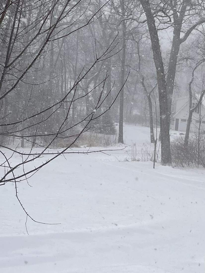
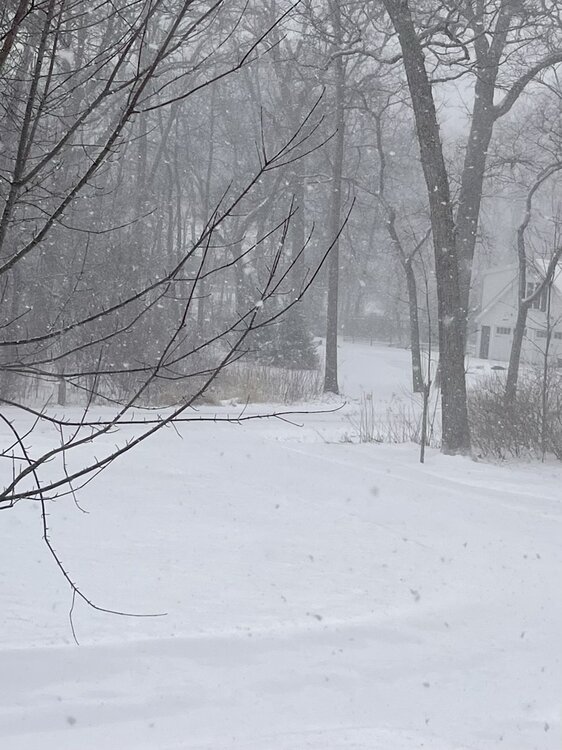
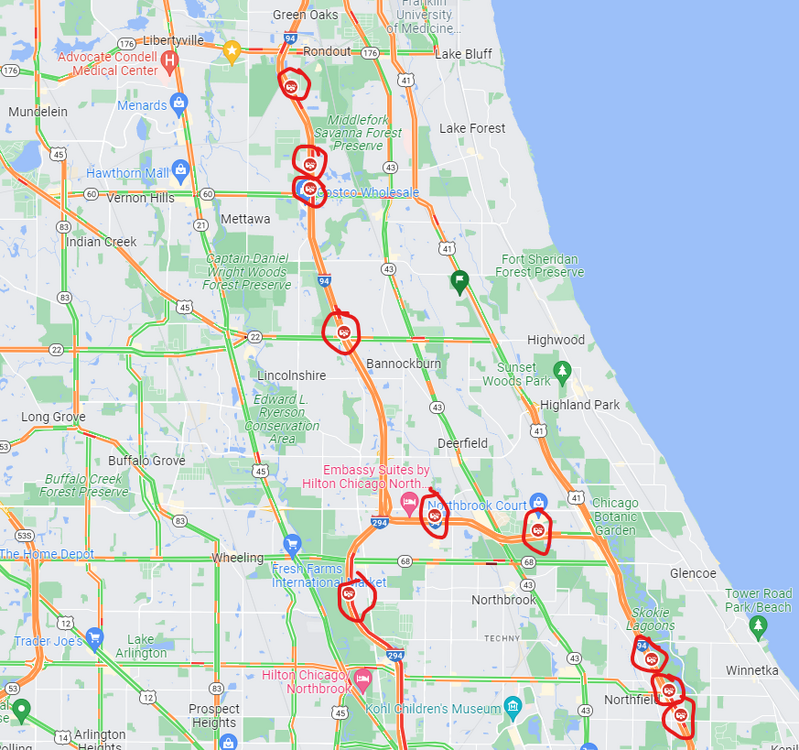
These past few bands have produced better than expected. Still mixy, but enough flakes and coming down at enough of a clip to continue accumulating. Grass is covered, closing in on 2 inches. If you take a look at Google Maps it looks like there are wrecks all over the place once you get north of O'Hare. Glad to have skipped the office today.
-
Mixing a bit here, but still mostly flakes. Around an inch so far. We'll probably flip between precip types depending on rates until 5 or 6 PM, so not expecting much additional accumulation during the afternoon.
-
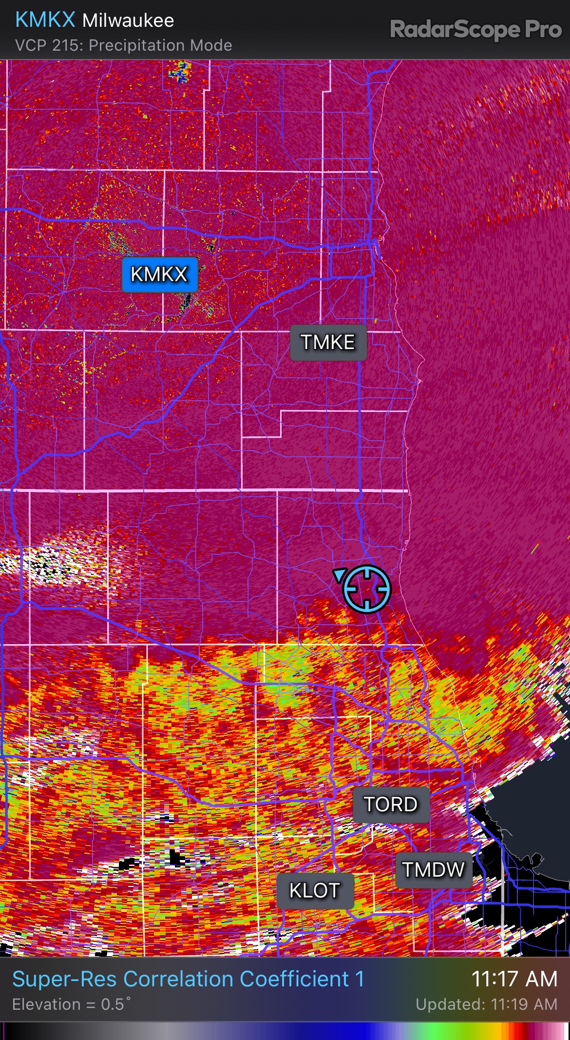
The banding to the north and south of Des Moines looks like a pretty sexy couple hours. Still SN here but CC radar says it’s on my doorstep…

-
Snowfall rate is pretty solid for the moment, stacking efficiently, low visibility, and it's actually sticking to pavement. No pinging yet but you know it's coming. Racine/Milwaukee look golden. Another narrow snow band.
-
Seems like a good bet. I'd imagine LOT will expand all the headlines south by a county or two if trends hold.
-
Warning issued, let's do this. I'll be happy with 5 inches.
-
February 8-9 Should There Be a Thread For This Storm
tuanis replied to Hoosier's topic in Lakes/Ohio Valley
Looks to be ripping in Madison per radar -
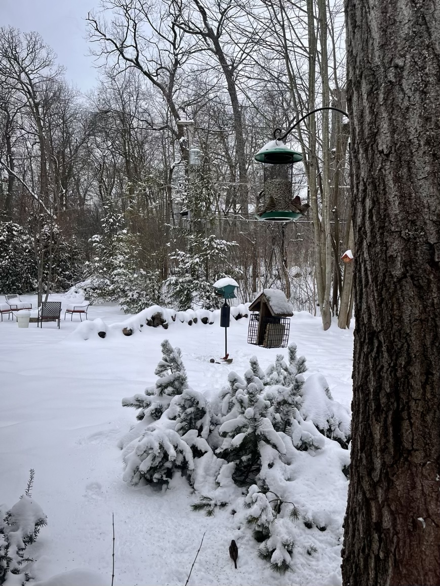
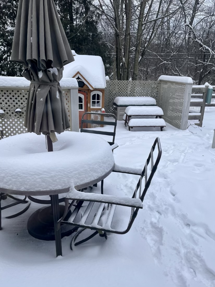
Eyeballin things looks to be 6 or so inches out there. Was out playing in it all night. Definitely delivered up here.

-
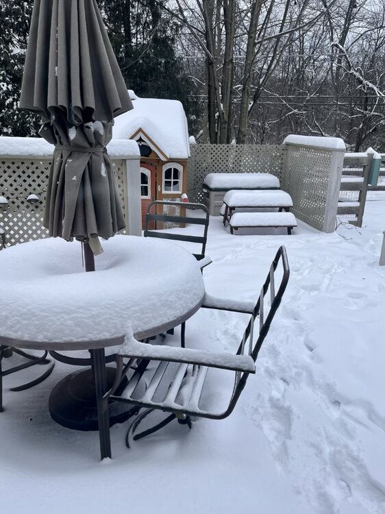
Today would’ve been fun weather for the Norge Ski Jump. Steady as she goes. Hard to say if we’ll get much a lull. Looks like about 2.5” new out there but I haven’t done a proper measurement as the kids have kept me busy with their excitement. Rates have been solid. Flakes have been fluffballs under the good returns. Keep it comin.

- 387 replies
-
- 11
-

-
Yeah, Iowa roads look to be moving well.
-
The heaviest accumulations WILL ride along hwy 20 and north in Iowa, but it’s like the NAM didn’t see this WAA wing cruising through the rest of Iowa and into the Quad Cities area/Peoria/Bloomington. Although it is lifting north pretty darn quick.
-
Yeah that north of hwy 20 business that the NAM was pushing for days was way off base.
-
5” storm total seems doable here with the fronto band lifting into WI this afternoon before things fill back in into the evening. Bring it. Best potential looks to be along the lake between here and Port Washington. Racine or MKE could hit double digits. Good luck all.