-
Posts
34,634 -
Joined
Content Type
Profiles
Blogs
Forums
American Weather
Media Demo
Store
Gallery
Everything posted by PhineasC
-
Chickens having to transform into ducks to survive the new CNE climo?
-
When's the next snowstorm?
-
Currently at 14" Snow seems to be more of an upslope nature now. Rolling through in waves. Will need a couple more bursts of high-ratio moose fart stuff later to hit 16". Should be doable. Great storm so far.
-
This storm still be fondly remembered by only a very small minority of posters.
-
Damn that sucks.
-
A foot here new OTG. 19 degrees. 16” storm total still seems like a good bet. 28” at my snow stake.
-
About a foot so far. 16 still feels like a good number. 19 degrees.
-
No, didn't see any flash unless I missed it not paying attention. I thought maybe the hot water heat boiler downstairs blew up or something but all seems fine here. My chair was shaking. Woke up the whole house so it wasn't just me dozing and dreaming. LOL
-
Whole house just shook and rumbled. Is thunder snow even on the table with this? It was weird as hell. Woke up my kids so it wasn't just my drunk ass hallucinating.
-
Absolutely textbook heavy snow here right now. Perfect flake size and just crushing. Wind starting to whip a little. Headed out for a jebwalk.
-
Here is my cam link again too. Nothing much to see now but tomorrow should be good. https://video.nest.com/live/KaUbLsdLHN
-
Ripping for sure. You going skiing tomorrow? I hope I can make it down there for some turns.
-
This is a good event to level the playing field. Nothing too complex. Curious to learn more about the southwest-flow upslope jackpot regions. I have a good handle on the east-flow upslope zones here (I am in a really good one), and NW upslope too here and over in VT. SW flow not so much. Always will be (relative) winners and losers here in the mountains.
-
You know where I came from, right? LOL It takes time to shake decades of totally failing on every event. Down there, we look at your area of CT as a snow heaven. Not joking. Events like this never, ever worked out for me until I moved here.
-
26 degrees approaching 4" I am thinking this is a 16" storm or so. 20"+ seems unlikely, unless there is some high ratio fluff the last few hours as the storm departs, which the models have been hinting towards. Sometimes snow sticks around for several extra hours here in the mountains after the main deal is long gone and adds a few garbage time field goals. NWS has it well pegged right now, IMO. If this thing had hit with temps in the teens to start instead of after 24 hours of warm temps, and we had avoided the warm drizzle to start, 20" might be doable. But the first several hours have been very sloppy and some precip was lost to melting. There is still a layer of slush around the drier snow piling up now.
-
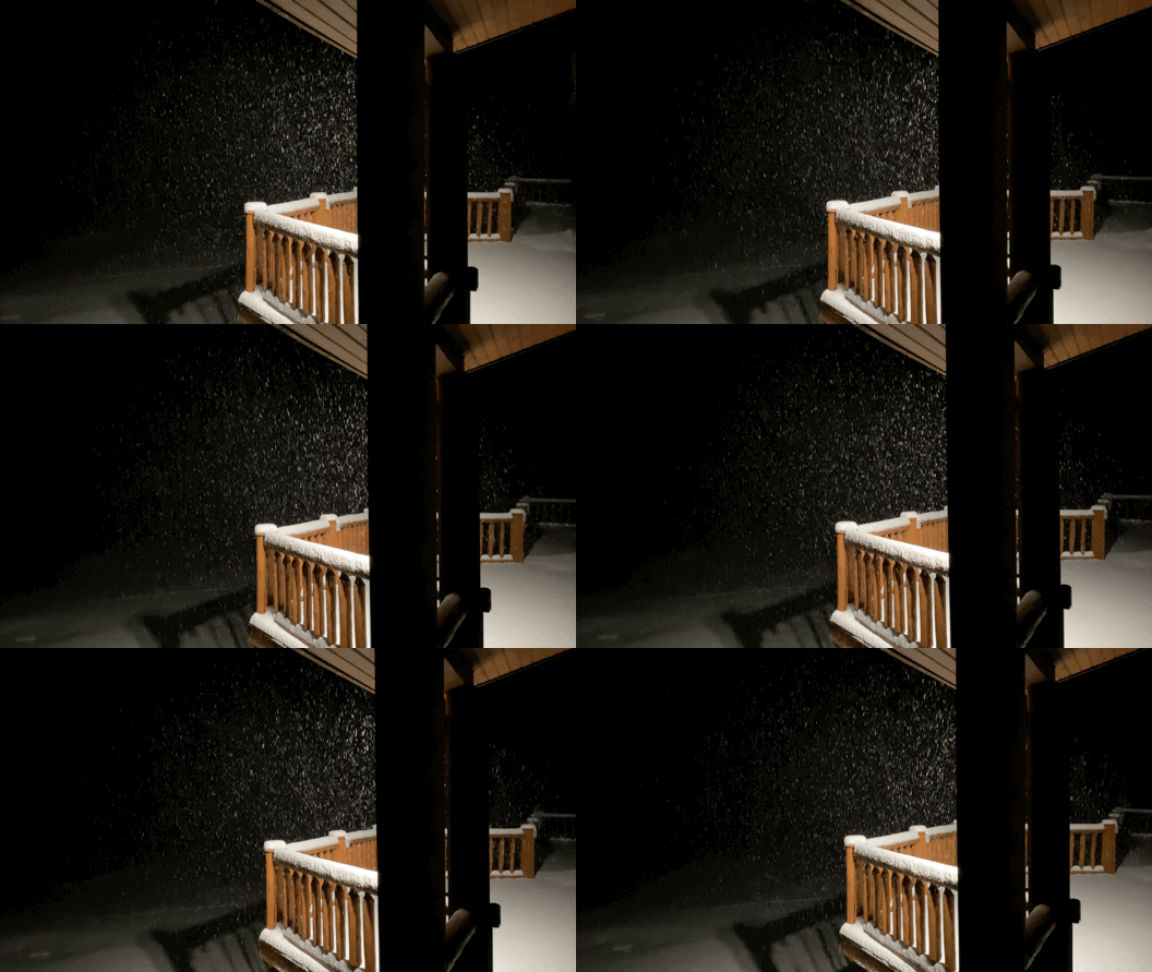
My GIFs always look like shit. Is there a certain app you guys use? Do you host them elsewhere and then just link them rather than upload as attachments given the trash file size limits here?
-
-
-
Rates definitely up a notch over the last half hour.
-
It'll be good for sure to have someone there more regularly to provide reports. I am not comparing it to my backyard. I get they are measuring at 4,000 feet in the most weenie spot they could find, and I am in a totally different state that often has a very different climo in terms of how I get snow. That's fine. But we have people here who live in good locations in the Greens too who can calibrate based on their own spots and compare. I am simply saying I watch the models and radar pretty religiously in the winter like most of us do, and I just have no clue where all that came from. Must be many evenings where it's quiet everywhere else in NNE but hammering some good fluff at 4,000' at Jay. Could be. You'd have to be there to know. Nothing on radar, which doesn't mean it didn't happen. Of course, none of this gets into the debate about "fake snow" and how it compresses down the next day to like 1/3 of depth as when it fell. That leads to perception issues, I'm sure. It still really fell but after some sun and warmer temps it's not the 8" of fluff from the night before.
-
2" as of 9:30. Temp down to 27, snow should finally start piling up better as things freeze back up. The hours of 40 degrees and the drizzle at the end curbed accumulations initially, IMO. Turned this into a MD snowstorm for the first few hours... Snowfall so far is super sloppy
-
But 30" more than Stowe? I dunno, seems hard to believe. I have little direct insight into what goes on over in VT on the peaks, so I can't really question it. The resorts in NH are all reporting totals that align pretty well with what I'd expect given the weather situation over here and what I see when I go up there basically every single day. If Cannon was talking about 130" so far this season I'd be like "no way." Their 76" is much more in line with the weather that has occurred in northern NH so far and makes sense to me. Anyway, this is an ancient topic that has been beaten to death. Not trying to kick up a fight, that Jay number was just eye-popping to me.


