Rd9108
-
Posts
3,457 -
Joined
-
Last visited
About Rd9108

Recent Profile Visitors
6,075 profile views


-
Another day and another chance for severe. Yesterday stayed west and east so hopefully the same happens. There's still lines and trees down all over the city.
-
Just driving around yesterday I saw a lot of trees that are about to fall but still hanging on. Hopefully the severe doesn't pan out.
-
-
Well luckily mine came on just now. Looks like some of the major outages are being taken care of. The one main street by my house was closed so it looks like that was the culprit
-
Im afraid I won't have power until the weekend
-

Pittsburgh/Western PA Winter 2024-2025 Thread
Rd9108 replied to Rd9108's topic in Upstate New York/Pennsylvania
200k+ power outages. 70+ mph gust recorded. Blew roofs off and destroyed trees and powerlines. Lived up to the hype unfortunately. -
Hmm power out here. There's trees and power line and stop lights down everywhere. Looks like we have some more action back in Ohio but I'm assuming the worst is over.
-
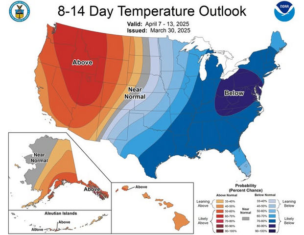
Obviously it's now April but we can still see snow chances in April so I wouldnt be shocked if we see some accumulating snow.
-


-
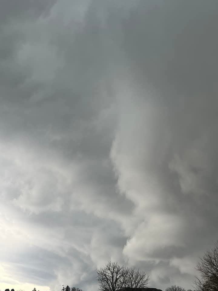
Idk on the NWS people showed some ominous looking clouds so I wouldnt be surprised if what you saw was actually some rotation especially since the line became tornado warned just east.
-
Looks like we just dodged a bullet. Id rather not deal with tornados. Although would like to safely see one, one day.
-
Yep some hail here for a brief minute.
-
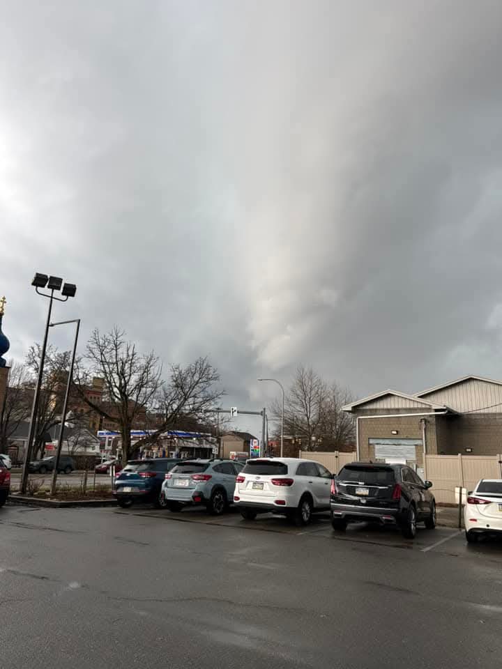
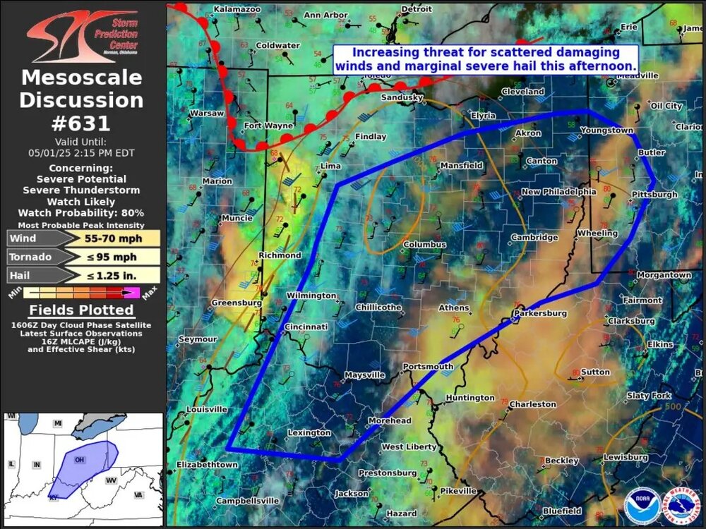
Idk the line coming through now is pretty nasty.
-
Radar already firing up didn't realize we were getting severe today
-
Pittsburgh/Western PA Winter 2024-2025 Thread
Rd9108 replied to Rd9108's topic in Upstate New York/Pennsylvania
Next chance I'd say is the 20th time-frame. Various models are teasing snow possibilities then.