beanskip
-
Posts
2,055 -
Joined
-
Last visited
Content Type
Profiles
Blogs
Forums
American Weather
Media Demo
Store
Gallery
Everything posted by beanskip
-
Also significant. This is the model that's supposed to sniff out thermal profiles first right?
.thumb.gif.1c07490970dad7a058f90778c854d5f1.gif)
-
This seems significant.

-
While DP's are less impressive, the 850 0c line is a bit further south at 42 hours -- NAM looks more suppressed overall. EDIT: That was at 39 hours, not 42. At 42, the ground gain is given back and it's very close to 6z run.
-
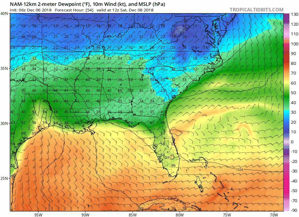
Dewpoints much less impressive on 12z NAM vs. 6Z in North Georgia -- 3-4F increase.
-
Looking carefully at 0z and 6z guidance, it is important to note a very small, but almost universal model trend to relax the CAD. It only amounts to 20-30 miles, but there is a slight retreat in the southern extent and duration of cold air in, I believe, every model I saw. When it happens for two consecutive runs, it becomes more significant. Plenty of time, of course, for it to trend back. But right now, the idea that the models will catch on to the CAD as we get closer has not proven to be true.
-
Slight north trend with FV3 at 78 hours.
-
Wouldn’t mind seeing a Ukie image of someone has it.
-
Ginormous south trend in 0z CMC.
-
Big improvement on Canadian. Makes the Miller B transfer after more eastward and less northward progression of the low. Allows CAD to establish deeper south.
-
Agree. These “less precip” posts are tiresome.
-
Very small differences — freezing line at 2m and 850 about 25 miles north. Margin-of-error type stuff.
-
Hard to find any meaningful changes through 54 hours vs 18z.
-
LOL — I see the Oz NAM is confirming the beanskip curse is still in effect.
-
Look, it’s time to be real on this storm. I know we have all become experts on hedging and caveats and flies in the ointment. But I go back the old Wright Weather boards 20 years ago and we have never, EVER seen a storm modeled like this. Consistent, run after run depiction of a historic event. Three inches of QPF paired with a classic CAD? Yes, the features will be better sampled in a day but I really don’t think Lucy can pull away the football on something like this. Even if the QPF is cut in half it’s still a monster. Even if the CAD is overstated by 100 miles, a large area will see more than a foot. Bottom line: anything can happen, but I had to eventually wrap my head around a Cat 4 October hurricane and I wish I had accepted the inevitable sooner. This thing is coming.
-
Having a hard time stomaching "much less/lighter" for a model run that still shows a foot of snow for referenced areas.
-
Plenty to nitpick, but this is a very consistent run vs. 12z.
-
Remember back when neighboring offices would coordinate? Sheesh.
-
Interesting -- 850 temps LESS impressive, but dewpoints, surface temps colder. Sounds like an icy setup to this old coot.
-
The 18z 12k NAM at 63 hours is yummy. The CAD actually doesn't press quite as far SW as in the 12z run, but if you look closely in N.C. the depth of the cold air is more impressive. Would be a terrific run if extrapolated, I bet. EDIT: Yikes, but at 69 hours, pretty serious retreat of the 850 0C line -- was over much of I-85 corridor for 12z run, now doesn't even touch S.C.
-
FV3 finally updated -- doesn't lock in the 850s like 6z run. EDIT: Not a giant change or anything -- mainly at hours 108 and 114 a bit of a retreat from 6z run. Still plenty of frozen before then.
-
Feel bad for poor Hour 84 -- always seems to get skipped over.
-
I agree. Don't mean to suggest it should be given high credence, just not zero credence.
-
I think it would be very, very, very dangerous to assume the Canadian is wrong here. Historically there have definitely been winter storms it has sniffed out accurately before even King Euro. Not saying it's right, saying it possible it's right.
-
Canadian still not buying it, outside of mountains .....
-
But then at 96 hours, CAD looks stronger -- probably just a slight slowdown in onset of precip locking in the wedge.
.gif.a24fecd82782268af7ec4407f9c62794.gif)