dilly84
-
Posts
4,093 -
Joined
-
Last visited
Content Type
Profiles
Blogs
Forums
American Weather
Media Demo
Store
Gallery
Everything posted by dilly84
-
Looking like another 2 or 3 before all is said and done with these bands moving through
-
Only room for one buckeye in this thread lol. Jp. I'm only on in the winter really
-
Not sure how accurate but if you go to layers and select future radar it looks good til like 5am. It gets that stuff that's back in Oklahoma and brings it right up through. https://www.wunderground.com/wundermap?zoom=5&units=english&radar=1&wxstn=0&wxstnmode=tw
-
Newark has 3" of sleet so if they can get 2" of snow they'll be right caught up lol. Sickening still to think how good this one could've been.
-
Just went out. I'd guess 6" to 6.5 with the sleet. But it's just blowing everywhere so hard to get any kind of measurement. I have a better spot to measure protected by the wind, but I'm not walking out there tonight.
-
A guess, probably 5" since 4:45 when it changed over. Hard to tell though. Lots of drifting. The sleet, in that sense was good to have so it's not bare grass where it blows the snow lol
-
That's why on my call map I put snow plus sleet for totals. I knew the area I circled would be a pain. If you can squeeze out 2 or 3 inches of snow it'll last a while lol
-
I'm rooting for you guys. Still think you have a shot of getting at least a couple inches on top of the sleet so it will look better than it really was at least.
-
Some 2"/hr stuff coming through cmh now.
-
Sucks guys. Based on being just a county north of you, I feel extremely lucky now. There is just like a bubble of warm air over you. Has to be. The worst part is every radar has you guys in snow.
-
Not seeing a dry slot on any of my radars outside of one over by Kenton. The future radar I use doesn't show on until 1:30am
-
For as bad as it started we're making up ground quick here. Tried to shovel. Can't keep up so gave up. Probably got 3.5" since it started at 4:45.
-
What was it, heavy snow again?
-
Unavailable
-
I lived in Fredericktown when I first join then moved back to warsaw(coshocton county) and bought a house in apple valley, been here for 6 years. Yes ripping now, only took all day to change over. Watching sleet line creeping back hoping since it's snowing so hard it's enough to keep it snow
-
-
Hey you lived in my neck of the woods. Was gonna ask about you the other day
-
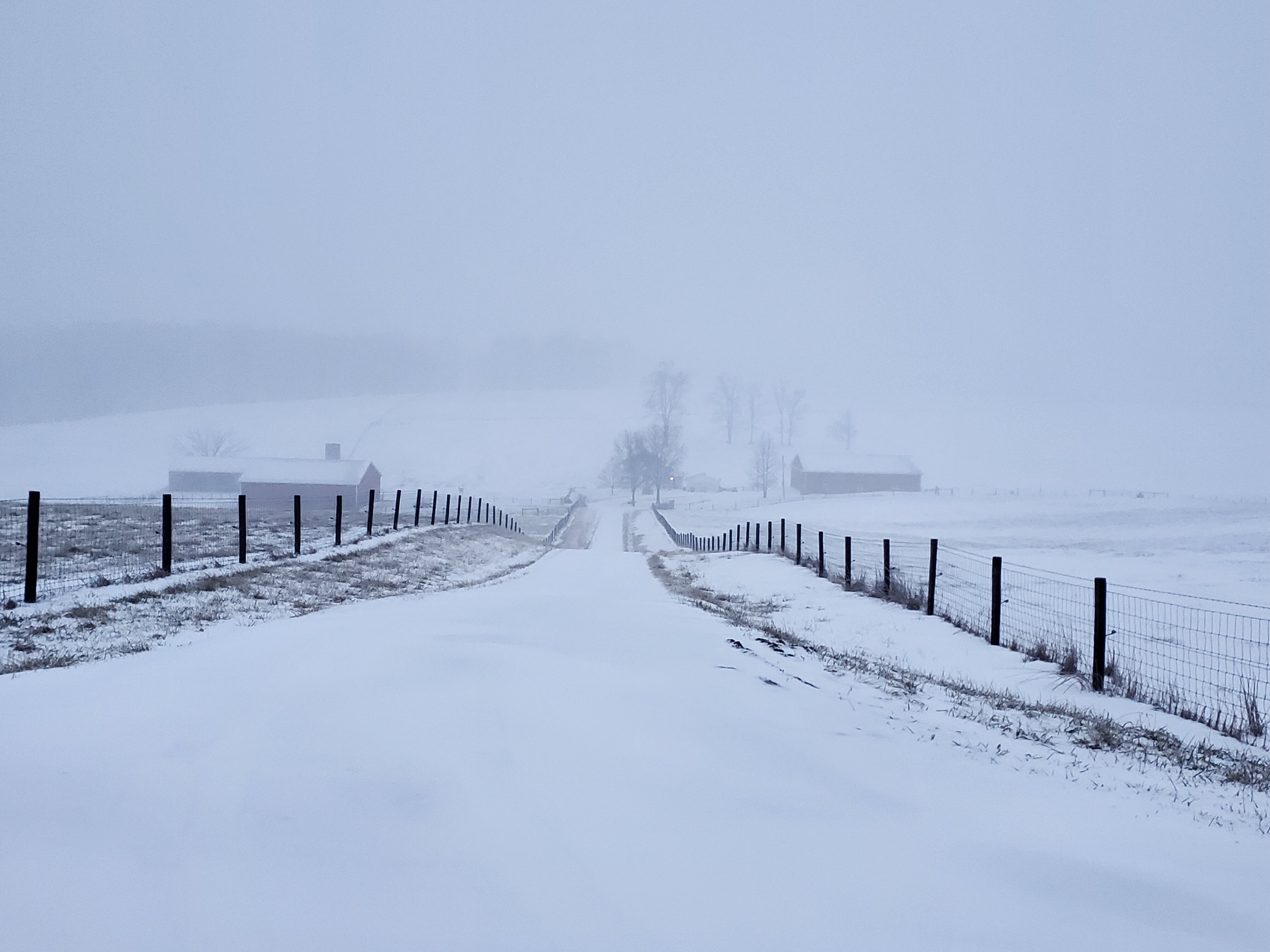
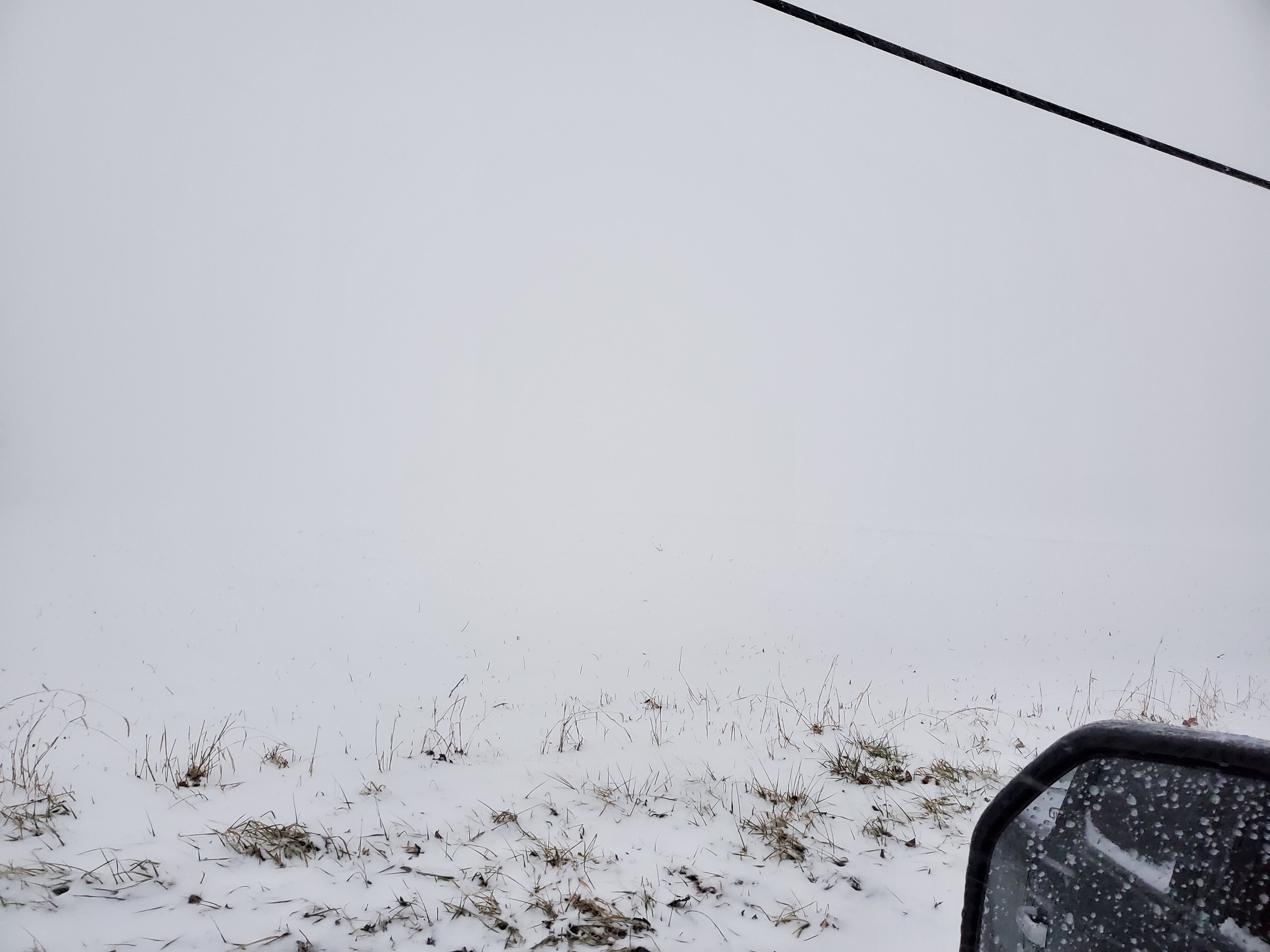
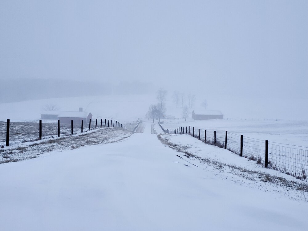
Visibility in open field may be 20ft. Never seen that before.

-
Finally changing over. Now hopefully remain for these heavy bands and maybe pick up low end warning totals.
-
Still sleet here. Hoping it changes over soon with the heavier stuff over me. Radar continues to show me snow. Down to 23°
-
18z Nam says 2.8" this is the moment of truth in my opinion. Heavy stuff is coming in. I think if we stay sleet then, I'll be shocked if we move to snow in time to matter. I'm trying to stay optimistic.
-
Wooster showing heavier stuff on radar. It's dry there. Something is up.
-
Well radar had me as snow 3hrs ago it hasn't been. It's barely sleeting. 25° and sleet. February redux
-
What an absolute disappointment so far. We are struggling to even get sleet.
-
Man down lol. The result of foot going through 4" of snow with a top layer of 1" ice lol