shaggy
-
Posts
7,636 -
Joined
-
Last visited
Content Type
Profiles
Blogs
Forums
American Weather
Media Demo
Store
Gallery
Everything posted by shaggy
-
Solid bout of RI for Chido in the SW Indian ocean. Very impressive cyclone https://www.tropicaltidbits.com/sat/satlooper.php?region=04S&product=ir
-
There's a small.village on the south end of a bay that is now in the western eyewall and will soon be in the eye. I'd bet they took a devastating storm surge. https://www.tropicaltidbits.com/sat/satlooper.php?region=25W&product=vis_swir
-
You could fit the entire wind field of Oscar inside the eye of this one
-
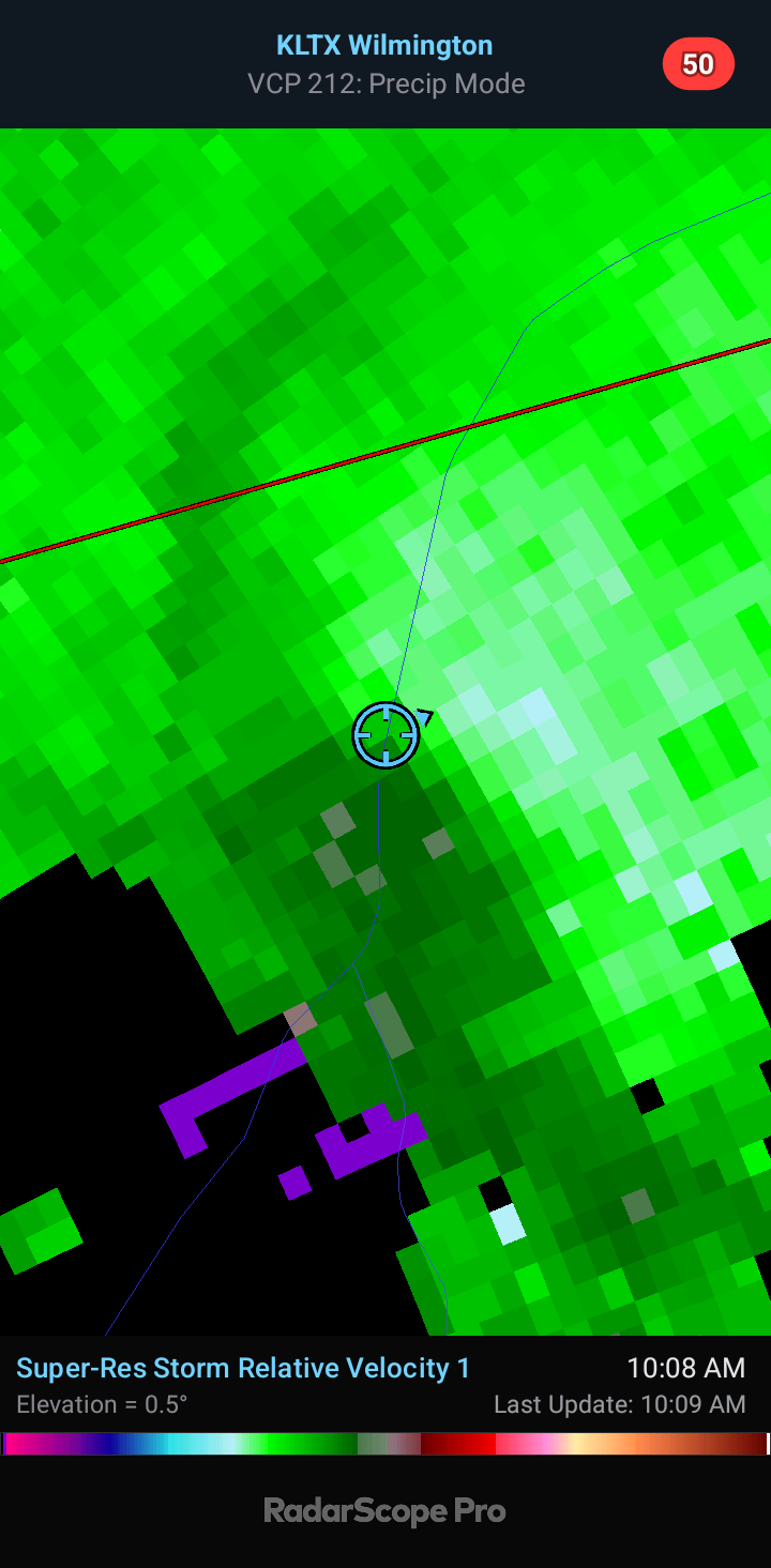
On the coast of NC we had very little weather other than some rotating supercells. This is one I managed to catch about 2 miles from my house. Decent wall cloud and a solid funnel for a weak rotation. It tried hard to put one down but never did I don't think

-
Sure seems that's the best area of vorticity. It's young and still susceptible to center reformation. If this forms further east towards the cayman Islands we could see some model changes
-
Gefs trending towards euro/ukie/icon
-
Falling in better agreement with the euro
-
Gfs is on an island right now. Icon furthest east and strongest. At this point a blend of the ukie/euro/cmc/icon seems reasonable
-
It was first with the Texas landfall for Beryl
-
Hoping that's incorrect. It seems overzealous with that much deepening that close to land but it would be a long 2 days for me if it verified
-
My bet this was a cat 5 after the islands and may still be now
-
We saw crazy pressure falls after the EWRC this morning. Winds responded and the last plane sampled a couple of hours ago and had 150mph cane. It's satellite presentation is impressive and has only gotten much better. The eye is nearly perfect and cleared out. We will likely never know but this is a good candidate to be upped to a cat 5 post-season (unless it's a cat 5 when next recon goes in).
-
6mb drop between passes and it was at 150mph......question is did that represent the winds had already caught up to pressure falls or do we see this make a run a cat 5?
-
Next pass coming up. Should be final pass before it passes the islands
-
Some crazy winds on that last pass. May make a run at 150+
-
Reed was all over it. Big stovepipe but he blew his car up and the chase is over but the cell is still going strong.
-
Some crazy video of Dawson Springs area tornado
-
Nice donut hole before it occluded
-
There have been several very high end tornados this year
-
The pressure gradient must have been insane for such a narrow tornado to have winds 200mph just 140 feet off the ground
-
https://x.com/ReedTimmerUSA/status/1793091049566675245?ref_src=twsrc^google|twcamp^serp|twgr^tweet
-
DOW recorded winds over 200mph with the greenfield tornado
-
I think he took it down but was watching when he transported that wounded family to the hospital. That was tough to listen to. I bet his adrenaline was through the roof.
-
Might be one of the biggest pressure drops in history. Anyone have the stats on that?
-
The ATL has had its fair share of majors as well