Buffalo Bumble
-
Posts
1,613 -
Joined
-
Last visited
Content Type
Profiles
Blogs
Forums
American Weather
Media Demo
Store
Gallery
Everything posted by Buffalo Bumble
-
Upstate/Eastern New York
Buffalo Bumble replied to BuffaloWeather's topic in Upstate New York/Pennsylvania
Great pics! You’re turning into quite the peak bagger. -
Upstate/Eastern New York
Buffalo Bumble replied to BuffaloWeather's topic in Upstate New York/Pennsylvania
I would normally call you loco...but some cooler days sound nice. Think I might be permanently scarred after the great Buffalo heat bomb of July 2020. -
Upstate/Eastern New York
Buffalo Bumble replied to BuffaloWeather's topic in Upstate New York/Pennsylvania
Doesn’t look like the line has weakened much to me. Pretty gnarly looking on radar anyway. -
Upstate/Eastern New York
Buffalo Bumble replied to BuffaloWeather's topic in Upstate New York/Pennsylvania
Yeah, that MCS over MI/Lake Huron is chugging along. Looks like a solid cloud deck out ahead of it is approaching WNY though. Will be interesting to see how well that complex holds together over the next few hours. Wonder if temps, at least in WNY, are held down today with the incoming clouds. -
Upstate/Eastern New York
Buffalo Bumble replied to BuffaloWeather's topic in Upstate New York/Pennsylvania
Nice work! -
Upstate/Eastern New York
Buffalo Bumble replied to BuffaloWeather's topic in Upstate New York/Pennsylvania
Yeah, they look impressive. Anyone with views down the lake right now, please post pics! -
Upstate/Eastern New York
Buffalo Bumble replied to BuffaloWeather's topic in Upstate New York/Pennsylvania
Looks like a pretty thick cloud deck in WNY. Wonder if that will limit severe potential there later. BUF still bullish per the SWS issued this morning. Conversely, full sun here at Chaumont with a roaring south wind. Hoping to see some storms roll across the lake later. -
Upstate/Eastern New York
Buffalo Bumble replied to BuffaloWeather's topic in Upstate New York/Pennsylvania
I see the “T” word in the forecast discussion by BUF and some local mets for tomorrow afternoon and night. Looks like some interesting weather incoming. -
Upstate/Eastern New York
Buffalo Bumble replied to BuffaloWeather's topic in Upstate New York/Pennsylvania
Some obs from the cottage up on Chaumont Bay...It’s tropical! Water temp has to be at least 80. Obnoxiously warm actually as you don’t get much relief when swimming. Had a localized monsoon fire up last night from about 3-5am. Tropical-like downpours have been popping up all morning with sky high humidity, locally enhanced I’m guessing by the super warm water. Pretty cool conditions fueled i would guess in part by the freak 7 day heat bonanza that laid down a blanket of ambient heat. -
Upstate/Eastern New York
Buffalo Bumble replied to BuffaloWeather's topic in Upstate New York/Pennsylvania
Interestingly, BUF is less than 1 deg above normal for June and less than an inch below normal for precip. So basically average for June so far. It’s felt much warmer and drier to me at least. -
Upstate/Eastern New York
Buffalo Bumble replied to BuffaloWeather's topic in Upstate New York/Pennsylvania
Ugh, sounds dire for my early tee time tomorrow. How about a monster MCS that rolls out of BUF by 7am. Everyone wins. -
Upstate/Eastern New York
Buffalo Bumble replied to BuffaloWeather's topic in Upstate New York/Pennsylvania
Yeah, common theme all late spring/early summer of “over the top” (terrible yet awesome Stallone movie) heat. Guessing day after day of full sun at max sun angle produces this home grown heat? I always thought northern heat had to originate down south and get funneled our way, clearly not... -
Upstate/Eastern New York
Buffalo Bumble replied to BuffaloWeather's topic in Upstate New York/Pennsylvania
89 (90?) at BUF at 745 pm. Incredible heat transport up the west side of the Apps. -
Upstate/Eastern New York
Buffalo Bumble replied to BuffaloWeather's topic in Upstate New York/Pennsylvania
Ideal. Don’t like the look of the upper level trof dropping in next weekend, hopefully that flattens out as we get closer. -
Upstate/Eastern New York
Buffalo Bumble replied to BuffaloWeather's topic in Upstate New York/Pennsylvania
Wondering what BUF did to anger the atmosphere so much (purposely lose at hockey??). After bullseye-ing BUF last night and to a lesser extent this morning, a narrow little storm just popped up and sat on....BUF! I know the storms are fun to watch and all, but...i have dead flowers/garden plants from hail, water ponding in the yard, and it's basically been nightime in early June for the last 18 hours (dark as night most of the day today). Freaking enough already. -
Upstate/Eastern New York
Buffalo Bumble replied to BuffaloWeather's topic in Upstate New York/Pennsylvania
Absolutely unreal outside right now. Lighting is now basically constant. -
Upstate/Eastern New York
Buffalo Bumble replied to BuffaloWeather's topic in Upstate New York/Pennsylvania
I’m not a big fan of severe, but I’m absolutely mesmerized by the sky right now. Just constant flashes with thunder getting louder by the second. Almost surreal really. -
Upstate/Eastern New York
Buffalo Bumble replied to BuffaloWeather's topic in Upstate New York/Pennsylvania
Sky is lit up right now! Dropping down fast. Great call Delta. -
Upstate/Eastern New York
Buffalo Bumble replied to BuffaloWeather's topic in Upstate New York/Pennsylvania
Oh cool, we’re the headwaters of an MCS. Thanks. -
Upstate/Eastern New York
Buffalo Bumble replied to BuffaloWeather's topic in Upstate New York/Pennsylvania
I’m confused...is the first MCS the one still way out over WI and MN? Seems like a long way to travel to get here before 2am...I’m not seeing anything else upstream other than some weak showers north of L Ontario. -
Upstate/Eastern New York
Buffalo Bumble replied to BuffaloWeather's topic in Upstate New York/Pennsylvania
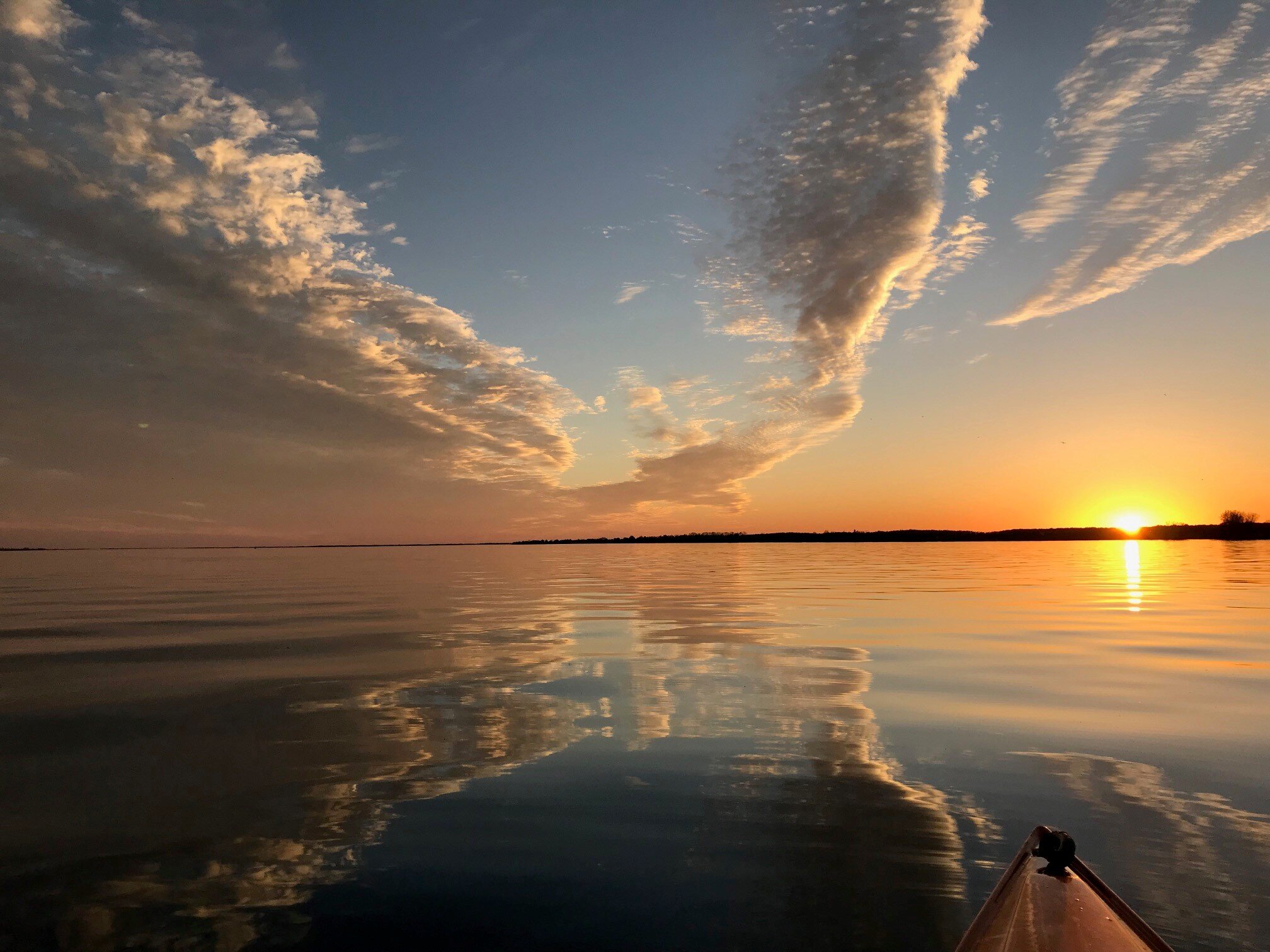
Bring it! Today is nice in a mid October kind of way. Need some sustained heat to warm up the lakes so I don’t have to worry about hypothermia when I’m out paddle boarding. -
Upstate/Eastern New York
Buffalo Bumble replied to BuffaloWeather's topic in Upstate New York/Pennsylvania
Pretty wicked cloud to ground lightning here with this current line of storms. On our 3rd round of torrential rain here too. BUF should come in with an impressive precip total today. -
Upstate/Eastern New York
Buffalo Bumble replied to BuffaloWeather's topic in Upstate New York/Pennsylvania
Nice pics! Looks like a great day of hiking. Won’t be long before you bag all 46 high peaks. -
Upstate/Eastern New York
Buffalo Bumble replied to BuffaloWeather's topic in Upstate New York/Pennsylvania
I was thinking the same. 93 is a high bar for BUF! -
Upstate/Eastern New York
Buffalo Bumble replied to BuffaloWeather's topic in Upstate New York/Pennsylvania
Congratulations!!!


