
ers-wxman1
-
Posts
2,525 -
Joined
-
Last visited
Content Type
Profiles
Blogs
Forums
American Weather
Media Demo
Store
Gallery
Everything posted by ers-wxman1
-
This is a legitimate event for us. The 500 pattern looks good. Ridge out west is in the right place, the 500 trough is deepening as it crosses the Appalachians, heights falling as it crosses to our south, coastal even pops closer to the Delmarva. It has room to become more than what it is but rates will be there. I’m usually pessimistic on here, but this is a threat. West of 95 has a legit shot at 2-4, with 1-2 from about Fairfax to DC. Wouldn’t be surprised if someone in the subforum got 5”.
-
I’m impressed at how this thing is evolving. The 500 pattern is close to an even bigger event.
-
18z NAM going bonkers over us.
-
Just returned from a two day trip to Snowshoe. Some of the worst ski conditions in recent memory there. We at least went from 40 and rain to 20 and 2-4” last night which was for the moment a fun event. So weird though to not even see a single old snow pile anywhere on the drive up on Friday with dense fog and temps near 50 all the way to Cass.
-
Boundary layer temps, antecedent warm ground, rates, all dicey.
-
GFS may still be having boundary layer issues, too cold. Solution appears to be overdone. Siding conservative on this one. This type of setup with arctic air timing with precipitation along a front is not a favorable setup for the area. Drier and warmer solutions more likely to verify, though I still hold out hope for a dusting to an inch well N and W of 95.
-
Snow flurries in Silver Spring, MD.
-
White rain, moderate rates. Zero stickage.
-
Wet snow with a few pellets and some rain mixed in. 37F
-
Easy 8” up there
-
He needs a snow or icepocalpse
-
PSU and Eskimo Joe should score well on this event.
-
Quick update from my previous post. MRB to Reisterstown and points north to the M/D line 5-9”.... on the higher end of this range will be areas closer to the M/D line such as Taneytown, Manchester, Pylesville, Emmitsburg, and Lineboro.
-
Should be good up there.
-
This is clearly an event from I-81 to northern Loudoun and areas near and north of I-70 to the M/D line. 5-9 inch solid event is my call there. MRB to Reisterstown and north is jackpot zone, higher end totals closer to M/D line. I would be surprised to see 3-4” even out here in the Ashburn/Leesburg area. D.C. proper will be lucky to see 1”. South and east of there a dusting then rain.
-
I advise you all to use caution when looking at the FV3. Feedback per a recent model discussion I attended indicate it has been running too cold and wet.
-
No inside joke here.
-
Is that right?
-
Very pleased with the 4-8 call west of 95 in the suburbs and 2-4 in the cities. CAD always produces a surprise.
-
5” on the nose here. Sleet now, but another burst of big flakes coming per radar imagery into Leesburg, Ashburn. Roads are a mess out here and pm icing will make for an ice palace by the AM.
-
Burst of snow, big flakes. Nearing 5” at the house.
-
4.6” Ashburn Village. Mixing with sleet, getting ready to transition now.
-
3.3” in Ashburn Village with moderate snow continuing!!
-
SN, 30F, secondary roads, sidewalks have caved, approaching 1/2”.
-
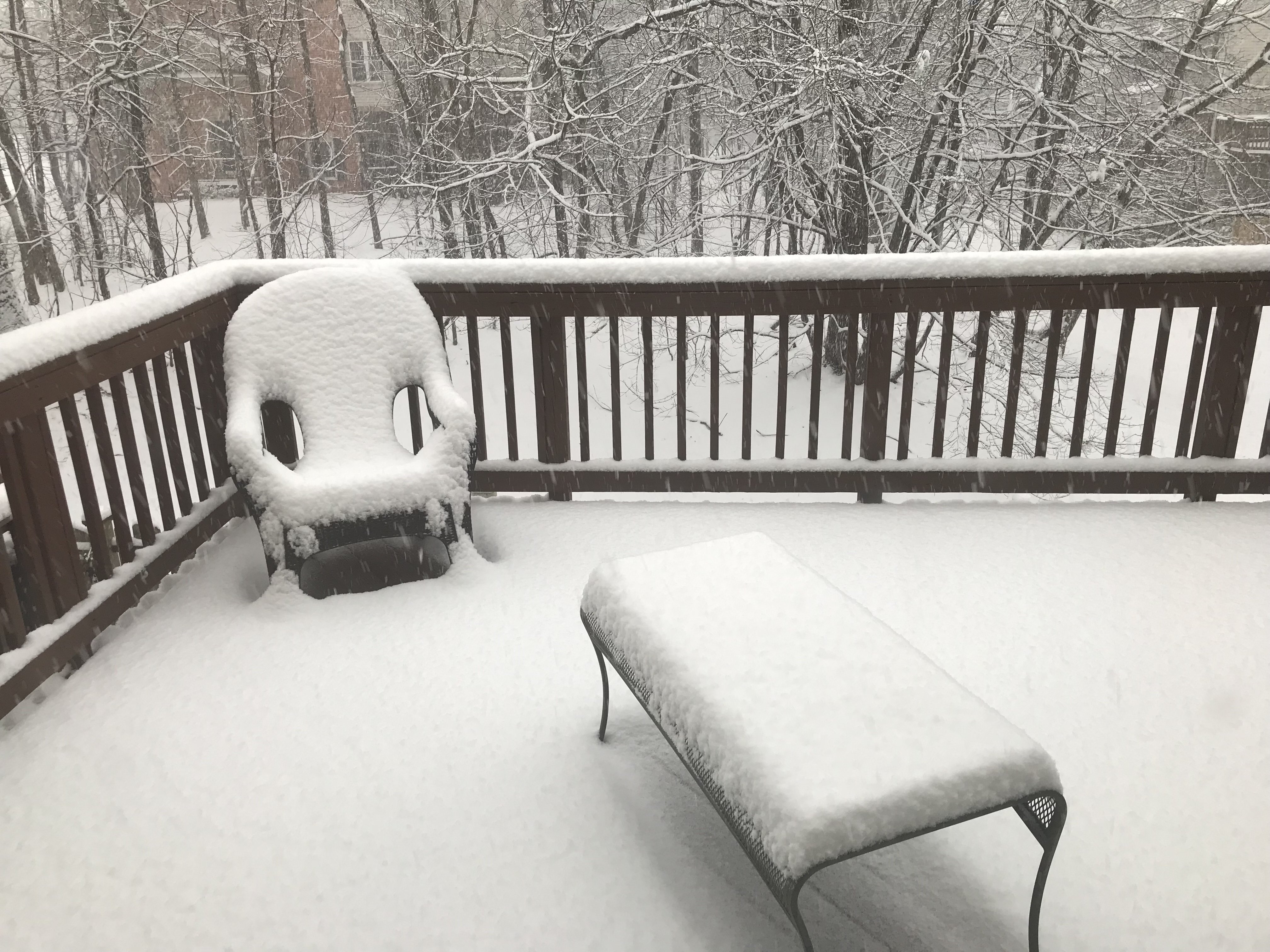
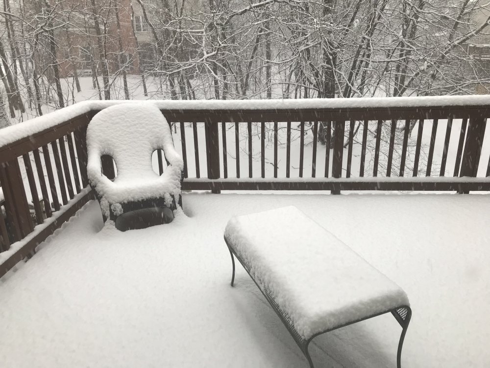
Steady snow falling, already a dusting on grass and deck.