-
Posts
11,171 -
Joined
-
Last visited
About burgertime

- Birthday 04/14/1983
Contact Methods
-
Website URL
http://www.facebook.com/burg3rtime
Profile Information
-
Four Letter Airport Code For Weather Obs (Such as KDCA)
KAMS
-
Gender
Male
-
Location:
Amsterdam, NL
-
Interests
Live in Amsterdam, NL and own too many guitars.
Recent Profile Visitors
6,245 profile views
-
Looks like you got yourself a new lawnmower for the farm!
-
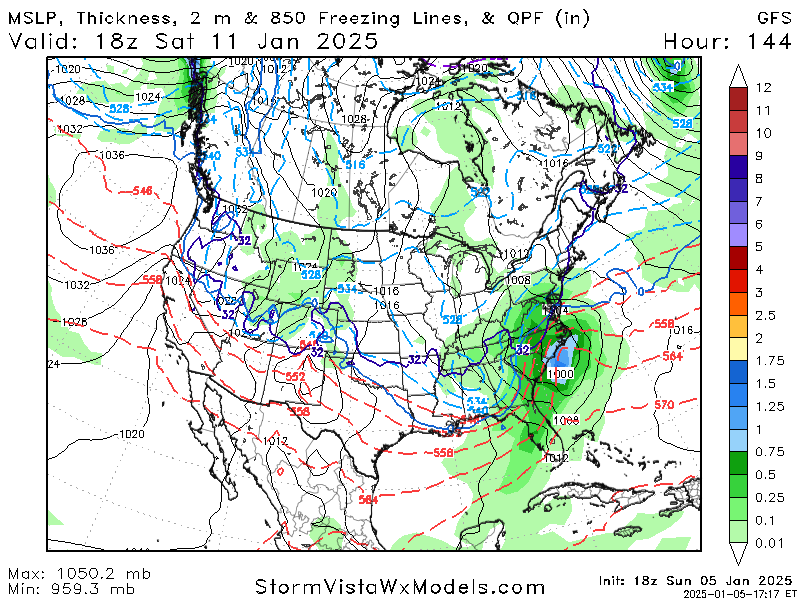
If you want to feel better it can always be worse. The circled part is where I'm at and that little bit of snow is from the last couple of hours in the run. Outside of a little dusting the other night we've been in a total snow hole here the last few years, it's exciting just when a fantasy storm pops up that you know will never happen.
-
00z Euro OP run looked about where you want it 5-7 days out. As HKYWX pointed out the models are gonna be flip flopping dependent on those shortwaves that kick out from the west coast. The cold air is in place and that is the hardest step to get. Most of the time with this sort of cold air SOMETHING happens, the question is how big of a something. Wisdom says the OP models will probably pick up our storm again around the weekend as it resolves the s/w issue. Until then we read tea leaves.
-
Bingo!
-
The best thing about this setup is real honest to goodness cold air to tap into. That's always the biggest issue for folks in the southeast, where is the cold air source? Always a good sign when the there's a chance the PV could give you snow showers just on the front of it.
-
I'll see if I can join in on the fun. Only issue is, A I'm a bit rusty on the pbp and B I'm six hours ahead of you guys so the 00z run of the GFS comes out around 4:30 in the morning for me. The setup is certainly exciting, just wish we had the same in my neck of the woods!
-
Yea you can really see those storms line up vertically which IRRC (I'm a bit rusty these days) is what does the robbing. If you see the storms in a more horizontal alignment that enhances. So keep an eye on the live radar for that. *EDITED- Ignore this as I had it mixed up. Thus why you should always listen to the professionals!
-
burgertime changed their profile photo
-
Correct me if I'm wrong but it looks like on some of the short-range modes the storms in the gulf is helping rob some moisture upstream. Keep an eye on that at is can does have an impact. I'm a little less worried about ZR with this one for NC as much as the issue now with radars showing this kind of patch flow on the short range models. Good luck and I hope it overperforms!
-

January Medium/Long Range: A snowy January ahead?
burgertime replied to mappy's topic in Mid Atlantic
Really hoping you guys and the SE get it soon as well. Fun little fact I stole the "BOOM" from the "boom goes the dynamite" guy. -


