

dseagull
-
Posts
504 -
Joined
Content Type
Profiles
Blogs
Forums
American Weather
Media Demo
Store
Gallery
Everything posted by dseagull
-
Verbatim, if it begins bombing out at the benchmark or slightly inside, that precip field has to be a little underdone. Fun run to see.
-
Answers my question. Thank you.
-
Thanks. I guess my question was more about the surface depiction and how it doesnt match what you would expect based on the h5. That's all due to chasing to the east? And wouldn't one expect the ingested previous data to play "catch" up on the next runs? Thanks.
-
Are the H5s just depicted poorly?
-
Nothing to scoff at here. Good storm on the cusp of MECS
-
Will the king be dethroned at season's end, and replaced with the goofus?
-
From a wind and coastal flooding perspective, this will be a fairly short duration event, but I prefer to hedge my bets on snow. These coastals offer more than just snow to observe. Should be nice to watch and post observations from the water.
-
It's my backyard to this day and run charters part-time 8 months of the year. I've come to enjoy our micro-climate. Let's see how this storm comes together. You guys are due for a good one up there.
-
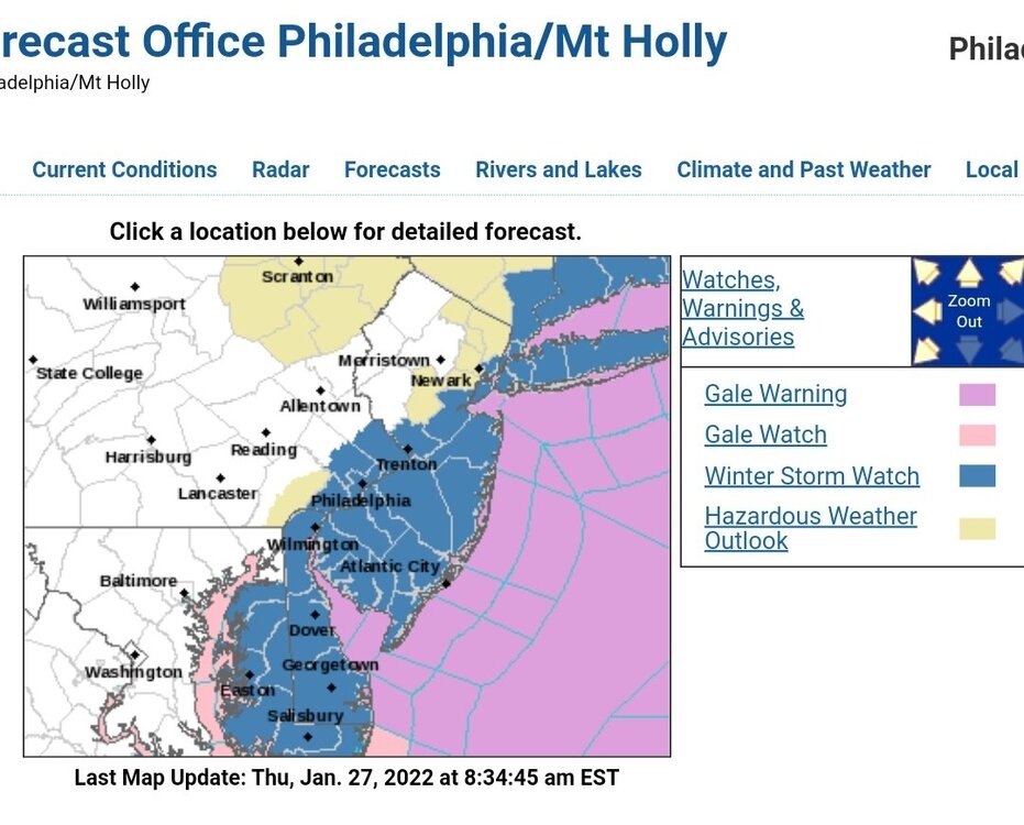
Thank god for that. Majority of the state has watches.
-
Ah, so Ocean County isn't NJ... darn need to change my mailing address.
-
Watches have been hoisted.
-
Between hours 54 and 60 you can see the capture and brief stall I guess. Looks like some major snowfall with many members for points east.
-
Skewed from members that bought into the idea of capture and stall. I'm not sure blocking was the variable causing those outputs, because it was never input into the solutions.
-
Rain to Snow obs for January 20th winter event
dseagull replied to ChescoWx's topic in Philadelphia Region
38.9 at 0430 while walking my dog along barnegat bay. Up to 42.6 now. Still dry, but rain approaching. I was hoping it would wash the brine off the roads, but they just sent out hundreds of brine trucks spraying the roads before the rain even starts. (Use it or lose it philosophy) -
Snow, warm, baseball, winter, cold, beach.... Now I feel like I need a shrink... or just an 18-24 inch bomb
-
That's a comfortable depiction, despite it being the NAM. The Highs mean business.
-
We had some good activity in south central ocean county before the streamer migrated north. Perfect mood flakes for my day off.
-
https://www.surfchex.com/cams/manasquan-web-cam/
-
Very light dusting from a quick but impressive snow shower on barnegat bay.
-
Somewhere between Cape May, NJ and Tom's River, NJ. Lol
-
Makes sense to me. I went to lowes yesterday to buy weather balloons and they said supply issue are killing them

-
18,28,and 24 are QPF bombs. Must be slow moving.
-
Wowww.... all IN
-
I'd believe it, definitely some very high gusts that mixed down regardless. All the local fire sirens are blasting, neighbor is volunteer fire chief and he just sped out of the house. That was as loud as a freight train. Glad I got to witness something impressive from this storm.
-
Several trees down on my street in waretown, on barnegat bay. My anemometer is out for repair but some unofficial reports have some gusts over 75mph. Power has been flashing on and off. What in incredible and long duration wind gust. In a lull now but may get more gusts as the next line moves through. Feels more tropical in nature. Haha. Going to be lots of cleanup from this.


