tnweathernut
-
Posts
4,746 -
Joined
-
Last visited
Content Type
Profiles
Blogs
Forums
American Weather
Media Demo
Store
Gallery
Everything posted by tnweathernut
-
Steady back to back runs from the Euro. I am still holding out hope this can snow for more of those back west of the TN river.
-
6z NAM is north and is a KY snow.
-
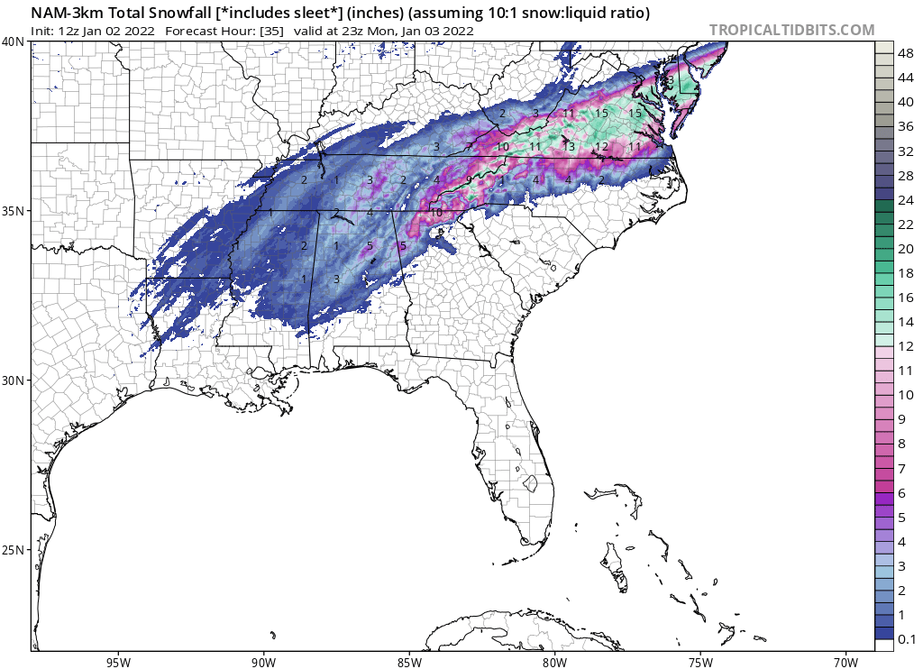
The overnight global were on board for this event. 6z continued the party. The GFS and RGEM snow maps are below .
-
 Heavy snow now in north Johnson City. The ground turned white quickly, roads also trying to cave.
 -
Radar shows all rain here in north Johnson City. I can confirm we are now at least 50/50 snow/rain/mix. No accumulation yet.
-
Is this your back yard? If so, that’s AWESOME!! Congrats….
-
Just saw the 18z NAM….. Dang, Jeff…. Had no idea your powers were that quick. lol
-
3k leaves the door open for more in the mid-south.

-
12z NAM 3k looks better for the state of TN as a whole……
-
Well it took a lot longer than anticipated, but the 12z NAM finally NAM’d east TN properly.
-
@Holston_River_Ramblergood to see each model run (so far) generally holding serve.
-
Good luck out that way!
-
Rates always trump ground temps. The chance (and a good one at that) is there for a significant snow for east and northeast TN. The mountains likely get plastered with tree snapping concrete. For lower elevations it depends heavily on the strength & track of the low, and timing the change from heavy rain to heavy snow. I’m optimistic, but cautiously so…. It’s good to see MRX bullish, they are generally very conservative
-
This snow possibility feels almost surreal. At least to me, it feels an awful lot like trying to steal victory from the jaws of defeat. I can’t remember a winter storm where it was near 80 the day before and where we scored the first day of a pattern change, and where there was severe weather the day before. Maybe these are good reasons not to get too excited……. lol. Good modeling overnight and into this AM.
-
Might be some of the quickest hitting and heaviest snow modeled for northeast TN I have ever seen. The northeast TN mountains seem to be getting the pivot and low pass almost perfectly.
-
Apparently the 12z RGEM just said if the NAM won't NAM them, guess I will have to do it myself.... lol
-
Probably going to be a snow/ice to rain threat around 300 from the looks of the upper levels and the surface temps.
-
Winter threats for the 2nd and for the 7th are still there on the 12z GFS. Good to see large highs crashing the upper midwest and systems developing across the south. Will be hard to time one up, but the ducks look like they are on the pond the first week or so of January.
-
Fall/Winter Banter - Football, Basketball, Snowball?
tnweathernut replied to John1122's topic in Tennessee Valley
Tennessee never wins against AL at AL, so I have already chalked up a L. Prepare for the worst hope for the best. You know, same thing we do weather wise all winter long, hoping for snow… -
well if there is any threat for snow in Tennessee, that is definitely a way to escape it. Just ask @nrgjeff. Hoping we see the shakeup in the Pacific. Would be a nice break from the consistency of the AH recently.
-
All this and Mr. Bob (who is lurking) hasn't shot down a flip yet. That alone is promising.......... lol
-
If we could strengthen the ridging around Hudson Bay, it would be almost perfect. As it it, it looks pretty good. I like seeing the SE ridge go away.
-
Broken clock syndrome? lol
-
Would imply an almost perfect storm track for mid south snows too, IMO. I wonder if it (CFSv2 control) has recovered from its decade long stint in rehab?
-
12z CMC today almost looks like the Christmas setup last year, at least at first glance anyway.