

ariof
-
Posts
674 -
Joined
-
Last visited
Content Type
Profiles
Blogs
Forums
American Weather
Media Demo
Store
Gallery
Everything posted by ariof
-
-
Congrats on the models that sniffed this last burst out. Really enjoying these echoes even if it's about to end. For now, at least, it puts a new layer of white onto everything. If we do it again in a week we're going to have 2015 levels of "where the heck do we put all this stuff?"
-
Massive hit on the CMC. 956 mb basically on top of the benchmark.
-
BOS was in the upper 20s for 10 hours from 1600 yesterday to 0200 today when the coastal front passed through. Might make it to 22 this afternoon but both days get a high of 29. Still a -10 anomaly of course, and 32 doesn't look like it's coming back for a while.
-
17 is higher than 8 or whatever it was before. BOS METAR from the front: METAR KBOS 252054Z 02010KT 1/4SM R04R/2200V3500FT +SN FZFG VV006 M05/M06 A3029 SPECI KBOS 252037Z 35009KT 1/4SM R04R/2000V2400FT +SN FZFG VV005 M09/M11 A3030 SPECI KBOS 252027Z 35008KT 1/2SM R04R/1800V2200FT SN FZFG VV006 M11/M13 A3032
-
Five hundred yards. That's the length of five football fields, just shy of half a mile.
-
Euro says nah
-
Alton Bay Ice Runway (B18) should be ready once the storm passes. They're at 11" right now, and need another 1-2" to open. Once they are open this year they should be open for a while. https://www.facebook.com/AltonBaySeaplaneBaseandIceRunway/
-
Record for days AOB 32˚ at BOS is 16 days … this will be close. Unlike the quick cold shots in 2016 and 2023 when BOS went to -9˚ and -10˚ it might not crack 0˚ but both of those went to 50˚ within a couple of days.
-
I'll see your Hibbing and raise you a an Ely (KELO), -38˚ or Cook (KCQM); Cook also hit -38˚ last night. Lowest reported aside from a -45˚ in Wisconsin from a Coop but that is probably a windchill misreported. A number of weather stations are reporting -40˚ rn in Northern WI and MN. So we'll see what the PNS shows once it's updated. (They'll all tell you that this is nothing compared to 1996.) Twin cities at -15˚, but were below -20˚ yesterday for the first time in 7 years.
-
5˚ at KBOS is the coldest in three years. Last year only hit 9˚. Only six other years have failed to reach 8˚. From xmACIS: 1 1084 2026-01-23 2 752 2003-01-17 3 728 2021-01-28 4 713 1954-01-12 5 660 1960-12-11 - 660 1932-11-26 7 573 1938-01-17 Might bottom out at 4 or even 3 today, and next week could get colder. (With the snow and calm winds, I wouldn't be surprised to see the rad pits at KOWD and KBED well below -10˚.
-
That storm hits on an astronomically high tide (full moon, 11.3' at Boston Harbor) this would not be good.
-
Bills-Pats with barely enough vis to see the field would have made the snow game in 2002 look like a flurry. Oh well, at least it will be cold in DEN.
-
48h before the start of the event.
-
Bigger as in a larger geographic spread? Doesn't really make a difference since Jan 22 hit Boston hard. Given the cold, it will be a good stress test for the T.
-
If it were 2015 then both the Thursday storm and the one Feb 1ish would verify.
-
That storm on the GFS op has a ridiculous band of SN from MSY to ATL to CLT and then on up the coast. 12" of snow in MSY (the 06Z also had this, a year after they had their record snowfall; maybe we should all move to Bourbon Street), 2-3 feet on ATL (record is 8"). We manage 1-2' up here. Would be wild.
-
I loved to hear the rain pelting the side of my house at 38° on an ENE gale because there was no PV, at least sometimes NNE got snow out of it. I'll take this instead.
-
Sure looks like LES. Probably belongs in general Jan thread.
-
Huh? BOS had 2' in Jan 2022. Maybe didn't hit west of FIT-ORH-BDL but BOS certainly got it. https://www.jdjweatherconsulting.com/jan-28-29-2022 2018 had two storms with >12" of snow, Jan and Mar. Before that, yes, you have to go back to 2015.
-
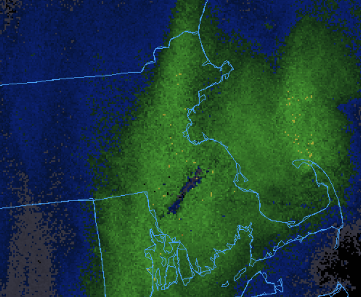
Northern border of Mass. Although it is much less salient west of the Connecticut.
-
Reggie at 78h looks like a dry slot south of the New England Mason Dixon Line.
-
Reggie at 72h in EMA looks … not too bad.
-
It's mehmbogenesis, baby!
-
Not driving at night on I-89 you don't


