

dryslot
-
Posts
60,469 -
Joined
-
Last visited
Content Type
Profiles
Blogs
Forums
American Weather
Media Demo
Store
Gallery
Everything posted by dryslot
-
I've been relatively good this season, although patience was starting to wear thin last week You have a checkerd past...............
-
I guess so.
-
Ha, Possible.
-
Pretty similar to today's up here.
-
After 4 pm here.
-
Sweet, 7.3" here.
-
No phase with the two streams.
-
4-6" call it a day.
-
Looks the same here.
-
I would not forecast over 4-6" right now up here unless something changes but it has not for days.
-
Full steam ahead.
-
Caked
-
Yes, Larger flakes in this one.....
-
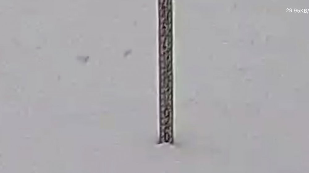
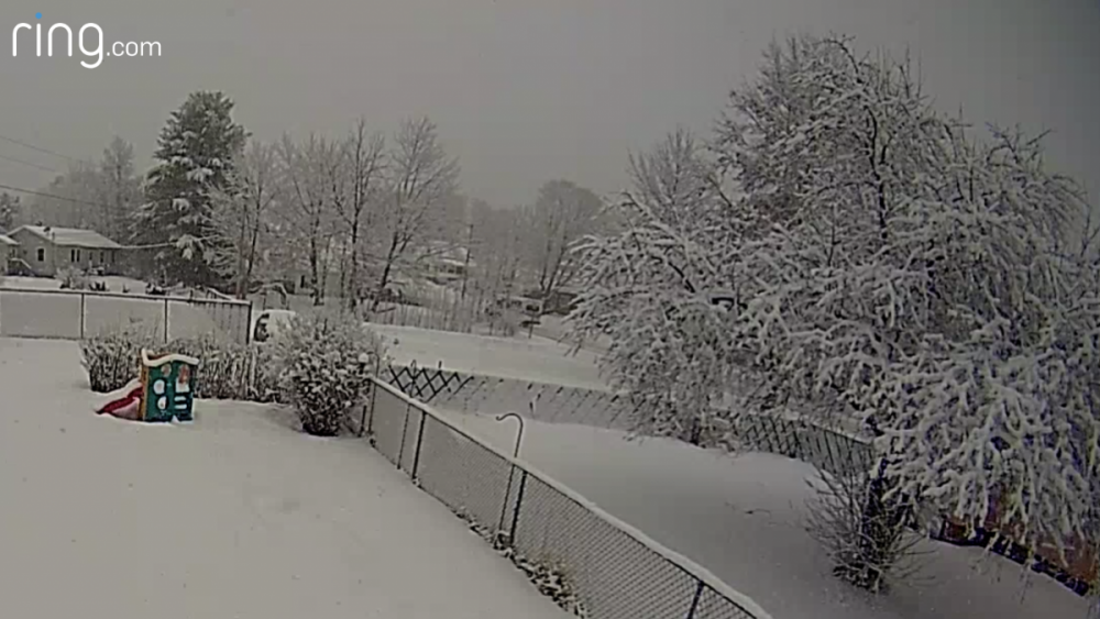
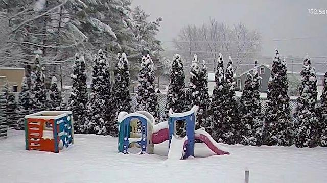
Just took a measurement and were at 5" and still dumping, This stuff has some meat to it, Sure its going to fun cleaning this up after all the daycare parents pack it down in the driveway...............
-
Nice little over performer going on right now.
-
MEZ012-018>021-024>026-NHZ003>006-009-162200- /O.CON.KGYX.WS.W.0002.000000T0000Z-200116T2200Z/ Southern Oxford-Interior York-Interior Cumberland-Androscoggin- Kennebec-Coastal Cumberland-Sagadahoc-Lincoln-Northern Grafton- Northern Carroll-Southern Grafton-Southern Carroll-Belknap- Including the cities of Bethel, Bryant Pond, Hanover, Locke Mills, Milton, Newry, Rumford, Norway, Fryeburg, Oxford, Hollis, Alfred, Lebanon, Sanford, Goodwins Mills, Buxton, Limington, Berwick, New Gloucester, Gray, North Windham, Gorham, Bridgton, Greene, Lewiston, Sabattus, Wales, Minot, Turner, Auburn, Livermore Falls, Augusta, Sidney, Windsor, Vassalboro, Waterville, China, Palermo, Portland, Cape Elizabeth, South Portland, Westbrook, Yarmouth, Brunswick, Arrowsic, Bath, Phippsburg, Bowdoinham, Topsham, Bowdoin, Whitefield, Dresden, Alna, Bremen, Bristol, Damariscotta, Newcastle, Boothbay Harbor, Wiscasset, Waldoboro, Bethlehem, Lincoln, Littleton, Sugar Hill, Thornton, Waterville Valley, Woodstock, Jackson, North Conway, Albany, Conway, Chatham, Crawford Notch, Lyme, Ashland, Ellsworth, Holderness, Plymouth, Rumney, Wakefield, Bridgewater, Brookfield, Ossipee, Tuftonboro, Wolfeboro, Moultonborough, Laconia, Gilford, and Meredith 912 AM EST Thu Jan 16 2020 ...WINTER STORM WARNING REMAINS IN EFFECT UNTIL 5 PM EST THIS AFTERNOON... * WHAT...Heavy snow. Additional snow accumulations of 1 to 3 inches for a storm total of 6 to 9 inches. * WHERE...Northern Grafton, Northern Carroll, Southern Grafton, Southern Carroll and Belknap Counties. * WHEN...Until 5 PM EST this afternoon. * IMPACTS...Roads will become snow covered and slippery, with snow accumulations affecting the morning commute. PRECAUTIONARY/PREPAREDNESS ACTIONS... If you must travel, keep an extra flashlight, food, and water in your vehicle in case of an emergency. For a more precise forecast for your specific location...go to www.weather.gov/gray.. && $$
-
Updated at 9:45 by GYX, I think we end up with all of that, Maybe even that enhanced zone that south of here should be a couple tics north
-
Just been steady SN with great growth, Pushing 5" now just looking at the cam at home............
-
Yes, Some were calling it a SWFE but its not, Getting some enhancement from a trough too, Euro at 06z looked good here though for Saturday, About the same as this one today, Nam, Not so much but its the Nam, Not much has changed over the last two days on the Saturday storm on the models.
-
Today's may be better then saturday's.
-
That's where i usually stay when i go up there.
-
This stuff is sticking to everything.
-
Same here been steady SN
-
I'll be talking with Todd later.
-
KLEW 161219Z AUTO 00000KT 1/2SM SN FZFG OVC004 M01/M01 A2986 RMK AO2 P0000 FZRANO Eyeballing about 3" here, 29/29°F


