dryslot
-
Posts
60,469 -
Joined
-
Last visited
Content Type
Profiles
Blogs
Forums
American Weather
Media Demo
Store
Gallery
Everything posted by dryslot
-
I'm locking the ggem.
-
Were on to the 25-26th
-
23°F, We settle the pack.
-
This is how you do a SWFE.... 000 NOUS41 KGYX 191358 PNSGYX MEZ007>009-012>014-018>028-NHZ001>015-200158- Public Information Statement National Weather Service Gray ME 858 AM EST Sun Jan 19 2020 ...SNOWFALL REPORTS FOR JANUARY 18-19 SNOW EVENT... Location Amount Time/Date Provider ...Maine... ...Androscoggin County... 2 N Auburn 6.1 in 0842 AM 01/19 Public Wales 6.0 in 0827 AM 01/19 Public 4.0 SE Poland 5.6 in 0700 AM 01/19 COOP 2 E Lewiston 5.5 in 0720 AM 01/19 Trained Spotter Lisbon 0.6 S 5.5 in 0700 AM 01/19 COCORAHS Turner 5.5 in 0700 AM 01/19 COOP Winthrop 9.4 W 5.5 in 0700 AM 01/19 COCORAHS 2 W Auburn 5.0 in 0810 AM 01/19 Trained Spotter Auburn 2.1 NNW 5.0 in 0700 AM 01/19 COCORAHS ...Cumberland County... 1 ESE Raymond 6.3 in 0649 AM 01/19 Trained Spotter 4 WSW New Gloucester 6.1 in 0818 AM 01/19 NWS Employee New Gloucester 3.0 SE 5.8 in 0700 AM 01/19 COCORAHS 1 N Cumberland 5.8 in 0543 AM 01/19 Public 1 ENE Westbrook 5.6 in 0801 AM 01/19 NWS Employee 1 SSW Brunswick 5.6 in 0504 AM 01/19 Trained Spotter Freeport 5.5 in 0851 AM 01/19 Public 2 SE New Gloucester 5.5 in 0750 AM 01/19 South Portland 1.7 S 5.5 in 0700 AM 01/19 COCORAHS Cumberland Center 4.4 NW 5.5 in 0700 AM 01/19 COCORAHS Portland Jetport 5.4 in 0743 AM 01/19 ASOS 2 WSW Falmouth 5.3 in 0822 AM 01/19 NWS Employee Gray NWS Office 5.1 in 0743 AM 01/19 Official NWS Obs Bridgton 5.0 in 0852 AM 01/19 Public 5 S Bridgton 5.0 in 0655 AM 01/19 ...Franklin County... New Sharon 2.0 NW 5.8 in 0700 AM 01/19 COCORAHS 0.9 E New Sharon 5.7 in 0700 AM 01/19 COOP Temple 1.8 W 5.5 in 0600 AM 01/19 COCORAHS ...Kennebec County... Waterville 6.8 in 0835 AM 01/19 Public 1 NW Farmingdale 6.7 in 0808 AM 01/19 Mount Vernon 6.5 in 0846 AM 01/19 Public South China 6.5 in 0837 AM 01/19 Public Belgrade 6.5 in 0826 AM 01/19 Broadcast Media Sidney 2.6 NNW 5.5 in 0700 AM 01/19 COCORAHS Wayne 3.2 SSE 5.4 in 0700 AM 01/19 COCORAHS Clinton 3.7 in 0400 AM 01/19 ...Knox County... Union 3.0 NW 5.5 in 0800 AM 01/19 COCORAHS Hope 5.5 in 0700 AM 01/19 Trained Spotter Union 3.0 W 5.0 in 0653 AM 01/19 COCORAHS Rockland 1.4 E 3.3 in 0630 AM 01/19 COCORAHS ...Lincoln County... Wiscasset 6.0 in 0850 AM 01/19 Public Newcastle 2.1 SW 6.0 in 0700 AM 01/19 COCORAHS Trevett 0.3 NE 5.5 in 0700 AM 01/19 COCORAHS 1 SSE Alna 5.0 in 0806 AM 01/19 Trained Spotter Dresden 1.5 NW 4.9 in 0700 AM 01/19 COCORAHS ...Oxford County... Lovell 6.0 in 0828 AM 01/19 Public Bethel 6 SSE 5.5 in 0649 AM 01/19 COOP 4 SSW Otisfield 5.1 in 0814 AM 01/19 NWS Employee 1.5 E Hartford 4.8 in 0700 AM 01/19 COOP 1 W Otisfield 4.8 in 0655 AM 01/19 Trained Spotter Bryant Pond 4.6 in 0811 AM 01/19 Trained Spotter ...Sagadahoc County... Topsham 3.7 NE 5.0 in 0700 AM 01/19 COCORAHS 2.3 NW Bath 5.0 in 0700 AM 01/19 COOP ...Somerset County... The Forks 8.0 in 0851 AM 01/19 Public Cornville 6.5 in 0853 AM 01/19 Public Mercer 6.0 in 0850 AM 01/19 Public 3.6 W Rockwood 6.0 in 0700 AM 01/19 COOP North New Portland 0.3 WSW 5.5 in 0700 AM 01/19 COCORAHS Rockwood 7 SSE 5.5 in 0700 AM 01/19 COOP 1.9 S Harmony 4.5 in 0700 AM 01/19 COOP ...Waldo County... Prospect 2.6 W 5.5 in 0630 AM 01/19 COCORAHS Belmont 2.7 SSE 5.5 in 0630 AM 01/19 COCORAHS ...York County... 2 W York 6.4 in 0824 AM 01/19 Broadcast Media York 5.2 N 6.4 in 0700 AM 01/19 COCORAHS 2.6 SW Ogunquit 6.4 in 0700 AM 01/19 COOP 5 NNW Acton 6.0 in 0800 AM 01/19 Biddeford 1.5 NNE 6.0 in 0700 AM 01/19 COCORAHS 2 NE Kennebunk 5.8 in 0443 AM 01/19 Trained Spotter 2 NE Kennebunk 5.8 in 0445 AM 01/19 Trained Spotter Hollis Center 5.4 NW 5.6 in 0700 AM 01/19 COCORAHS Acton 2.7 NW 5.6 in 0530 AM 01/19 COCORAHS Cornish 5.6 ESE 5.5 in 0700 AM 01/19 COCORAHS North Waterboro 1.2 NE 5.2 in 0700 AM 01/19 COCORAHS Parsonsfield 3.9 NE 4.0 in 0720 AM 01/19 COCORAHS ...New Hampshire... ...Belknap County... Meredith 2.9 SSW 4.6 in 0700 AM 01/19 COCORAHS Laconia 7.9 E 4.5 in 0700 AM 01/19 COCORAHS Belmont 1.7 SW 4.2 in 0700 AM 01/19 COCORAHS Sanbornton 2.3 WNW 4.1 in 0700 AM 01/19 COCORAHS Tilton Northfield 3.3 NE 4.0 in 0700 AM 01/19 COCORAHS ...Carroll County... Bartlett 9.0 in 0357 AM 01/19 Public 3 NW Sandwich 6.5 in 0756 AM 01/19 North Conway 6.5 in 0730 AM 01/19 COOP North Conway 1.4 SSW 5.8 in 0700 AM 01/19 COCORAHS Madison 1.7 SE 5.7 in 0700 AM 01/19 COCORAHS Madison 5.5 in 0441 AM 01/19 Public 1 W Wolfeboro 5.4 in 0747 AM 01/19 Trained Spotter Wolfeboro 0.6 SW 5.4 in 0700 AM 01/19 COCORAHS East Sandwich 5.3 in 0600 AM 01/19 COOP ...Cheshire County... Keene 6.0 in 0515 AM 01/19 Public West Swanzey 1.0 WNW 5.5 in 0500 AM 01/19 COCORAHS West Chesterfield 0.3 WNW 5.2 in 0700 AM 01/19 COCORAHS 1 ENE Spofford 5.0 in 0812 AM 01/19 Trained Spotter 1.6 W Keene 5.0 in 0600 AM 01/19 COOP Marlborough 4.5 in 0843 AM 01/19 Public ...Coos County... 1.0 S Berlin 9.0 in 0700 AM 01/19 COOP Randolph 1.4 NE 7.8 in 0700 AM 01/19 COCORAHS Lancaster 0.5 N 7.0 in 0600 AM 01/19 COCORAHS Pinkham Notch 6.2 in 0515 AM 01/19 COOP 1 E Mount Washington 3.5 in 0744 AM 01/19 CO-OP Observer Gorham 3.3 in 0515 AM 01/19 COOP ...Grafton County... Bristol 0.4 SSE 4.9 in 0700 AM 01/19 COCORAHS Plymouth 1.6 NNE 4.4 in 0800 AM 01/19 COCORAHS Orange 4.2 in 0700 AM 01/19 COOP ...Hillsborough County... Milford 0.5 S 5.5 in 0815 AM 01/19 COCORAHS Manchester Airport 5.0 in 0745 AM 01/19 ASOS 1.1 SE Nashua 4.9 in 0710 AM 01/19 COOP 2 SW Brookline 4.7 in 0845 AM 01/19 Trained Spotter Amherst 3.7 NNE 4.2 in 0700 AM 01/19 COCORAHS ...Merrimack County... Northfield 2.8 E 5.8 in 0704 AM 01/19 COCORAHS Bow 1.6 NW 4.8 in 0710 AM 01/19 COCORAHS Newbury 1.6 NW 4.5 in 0600 AM 01/19 COCORAHS Chichester 2.7 SSW 4.5 in 0300 AM 01/19 COCORAHS 2 E Concord 4.1 in 0710 AM 01/19 ASOS Pittsfield 0.2 SSW 4.0 in 0800 AM 01/19 COCORAHS 1 SSE Henniker 4.0 in 0748 AM 01/19 Trained Spotter South Sutton 2.5 SSE 4.0 in 0700 AM 01/19 COCORAHS ...Rockingham County... Portsmouth Airport 6.0 in 0745 AM 01/19 ASOS Derry 5.5 in 0851 AM 01/19 Northwood 2.9 WSW 5.5 in 0700 AM 01/19 COCORAHS 2 WSW North Hampton 5.0 in 0609 AM 01/19 Trained Spotter ...Strafford County... 3 SE Dover 5.5 in 0600 AM 01/19 Trained Spotter Dover 0.8 E 5.0 in 0800 AM 01/19 COCORAHS 2 WNW Newington 5.0 in 0732 AM 01/19 Trained Spotter Barrington 3.2 E 4.5 in 0700 AM 01/19 COCORAHS &&
-
5.5" total here, Still a cold morning 12/9°F
-
Have been since before this weekend...
-
-
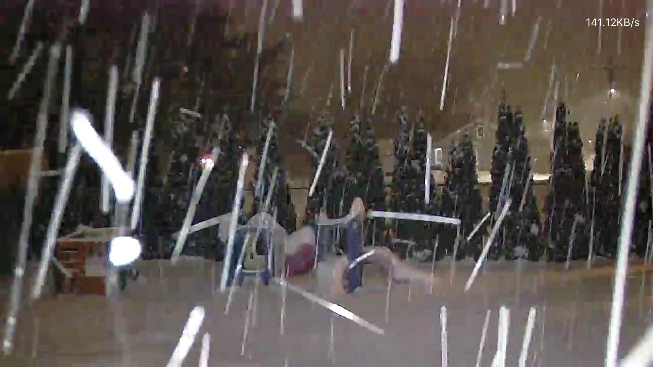
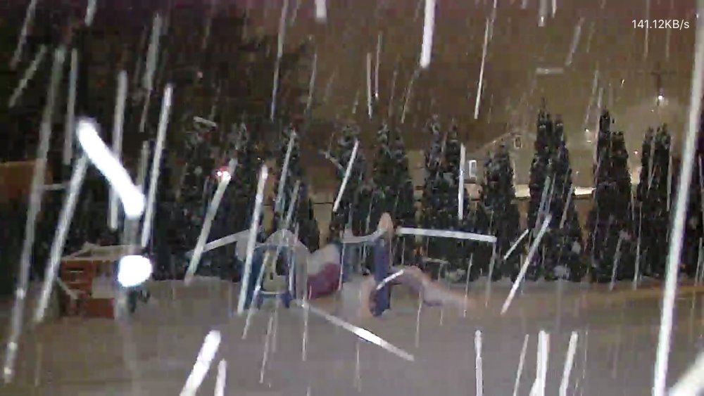
Just puking the last couple hours, 1"+ rates...
-
SN, 12/9°F eyeballing 3.5" so far.
-
Keep keeping it real.
-
-
Ripping good in this band, Great snow growth, 27-29dbz's
-
We tried to tell them
-

Winter 2020 New England Banter and General Obs
dryslot replied to CapturedNature's topic in New England
Out for a ride today with my oldest and my daughter inlaw, We need more snow........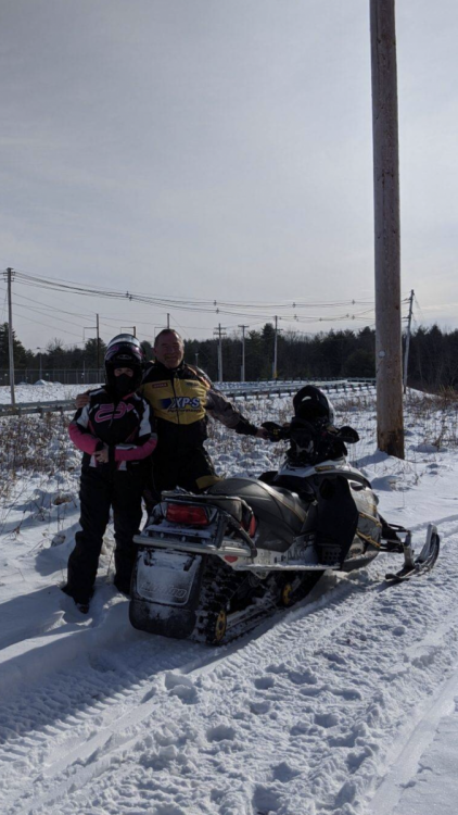
-
Winter 2020 New England Banter and General Obs
dryslot replied to CapturedNature's topic in New England
Polar dip?? -
1" down, Heavier rates inbound.....
-
Just started, -SN, 15.3°F
-
Ovcst, 15.3°F heaviest snow looks to fall overnight up here.
-
To bad that's when the heaviest rates fall and not snow totals........................
-
We enhance.......... MEZ020-191015- Androscoggin- Including the cities of Greene, Lewiston, Sabattus, Wales, Minot, Turner, Auburn, and Livermore Falls 305 PM EST Sat Jan 18 2020 ...WINTER STORM WARNING IN EFFECT UNTIL NOON EST SUNDAY... .TONIGHT...Snow. Snow accumulation of 5 to 8 inches. Not as cold with lows around 15. Light and variable winds. Chance of snow near 100 percent. .SUNDAY...Mostly cloudy with snow likely in the morning, then partly sunny in the afternoon. Total snow accumulation of 6 to 10 inches. Highs in the lower 30s. Light and variable winds. Chance of snow
-
I don't see it J on there site.
-
You can toggle thru 12hrs but its pretty much those ratios, If you were to look at the clown maps, The kuchie is probably a better fit because i think those are 12:1?
-
This is what GYX is thinking, This is 1:00am here when some of the heavier rates should be overhead..........
-
All kidding aside, Its a quick moving system about 12hrs or so with a good front end thump so i can see 3-5" for many with some areas in the 5-7" range where you get some enhancement from the CF, Up here its all falling at night so it will be plenty cold and ratios should be a little better then your typical SWFE, Start time here is between 4-7 pm and will be pretty much over by 7-8 am or so to just some left over fzdz.
-
Scott is the guy that rides around in a golf cart at a campground and dumps a 5 gal pail of water on your campfire at 10pm.
- 791 replies
-
- 14
-

-