dryslot
-
Posts
60,469 -
Joined
-
Last visited
Content Type
Profiles
Blogs
Forums
American Weather
Media Demo
Store
Gallery
Everything posted by dryslot
-
-
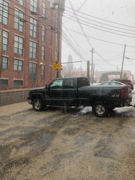
Didn't take long to grab 1"+ already.

-
These have to be the largest flakes i've seen in a long time, There the size of half dollars, WOW
-
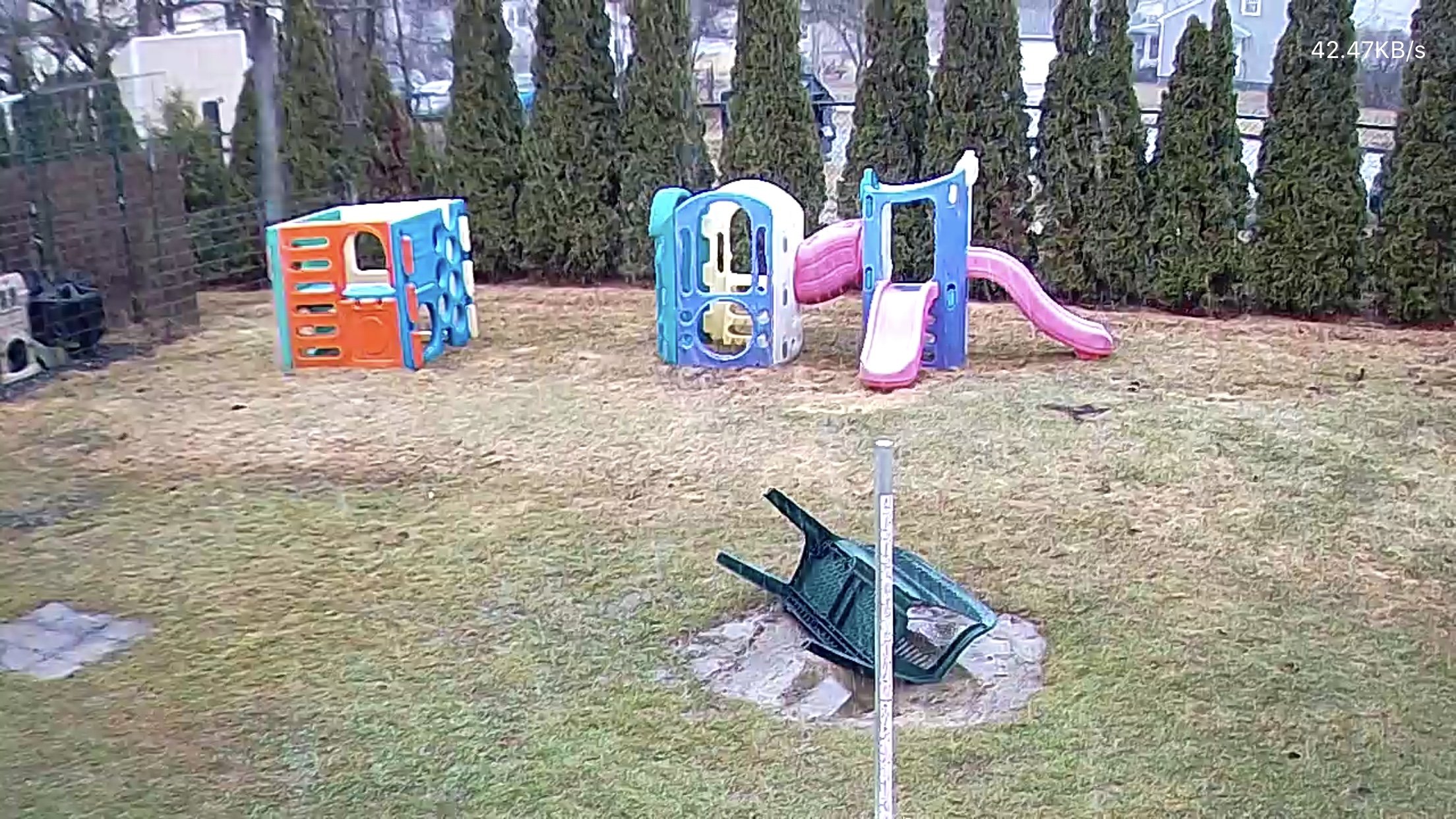
That crab apple tree can take a lot of abuse.
-
GYX tightened up the totals to 5-10"
-
This has to be some dinner plates coming..
-
Odd because i'm at 31/30°F now
-
Ripping some fatties
-
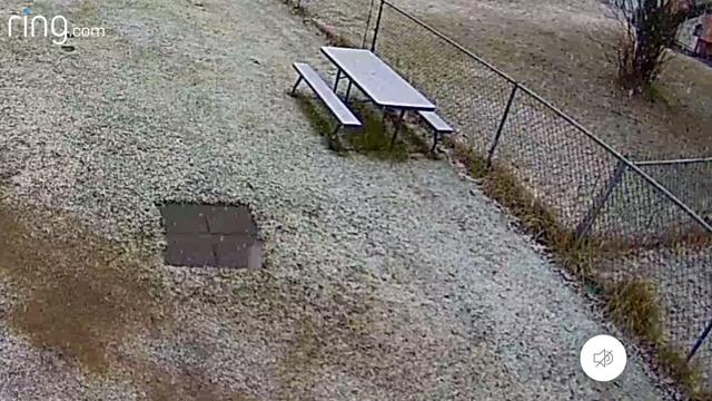
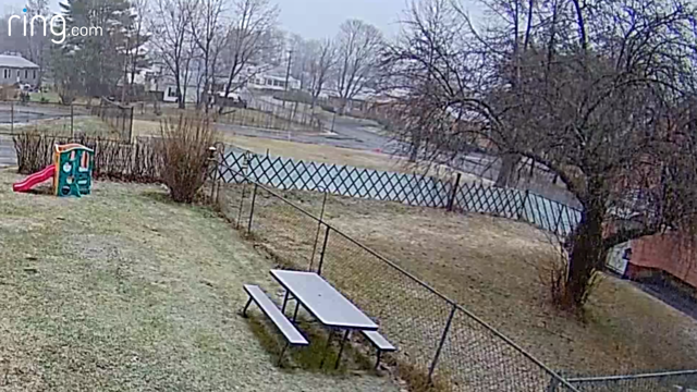
32/31°F, SN, Already accumulating on the picnic table...........
-
Looks like secondary development taking shape now over RI on SPC meso analysis page.
-
Its flipped to snow, Here we go!
-
Temp falling like a rock, +RN, 35/33°F
-
Ripping in Jackman too. http://72.73.127.38/axis-cgi/mjpg/video.cgi
-
Its coming..
-
Won't see any groomers going up and down the hill though................
-
Snowing good at the loaf.............
-
Temp falling quickly here now, +RN, 37/35°F
-
 Yup, lol, I saw that one too.
 -
Down to 40/37°F here now, Dews are falling as were starting to cool the column.
-
Yeah, lol, If i see 8" we will get to avg.
-
Looks like the higher elevations are seeing a changeover to snow on Radar.
-
RN, 41/40°F
-
Yeah, They lumped me in with you now, Should be quite a dynamic system and who knows where we end up until i measure it.
-
This forecast is changing by the hour.....lol MEZ012>014-020>022-033-092330- /O.CON.KGYX.WS.W.0007.200409T1800Z-200410T1200Z/ Southern Oxford-Southern Franklin-Southern Somerset-Androscoggin- Kennebec-Interior Waldo-Interior Cumberland Highlands- Including the cities of Bethel, Bryant Pond, Hanover, Locke Mills, Milton, Newry, Rumford, Norway, Fryeburg, Oxford, Farmington, New Sharon, New Vineyard, Temple, Wilton, Chesterville, Jay, Athens, Cornville, Skowhegan, Palmyra, Pittsfield, Embden, Madison, Greene, Lewiston, Sabattus, Wales, Minot, Turner, Auburn, Livermore Falls, Augusta, Sidney, Windsor, Vassalboro, Waterville, China, Palermo, Brooks, Jackson, Knox, Liberty, Montville, Morrill, Waldo, Winterport, Unity, Bridgton, Harrison, and Naples 1125 AM EDT Thu Apr 9 2020 ...WINTER STORM WARNING REMAINS IN EFFECT UNTIL 8 AM EDT FRIDAY... * WHAT...Heavy snow expected. Total snow accumulations of 4 to 14 inches expected. * WHERE...Portions of south central, southwest and western Maine. * WHEN...Until 8 AM EDT Friday. * IMPACTS...Travel could be very difficult to impossible. The hazardous conditions could impact the morning or evening commute. PRECAUTIONARY/PREPAREDNESS ACTIONS... If you must travel, keep an extra flashlight, food, and water in your vehicle in case of an emergency. For a more precise forecast for your specific location...go to www.weather.gov/gray.. &&
-
As well as some higher mtn peaks to my NW.