mappy
-
Posts
48,127 -
Joined
Content Type
Profiles
Blogs
Forums
American Weather
Media Demo
Store
Gallery
Everything posted by mappy
-
Good. Enjoy your rain. Don’t troll this subforum again.
-
Sigh wishing it had done this last month instead of now
-
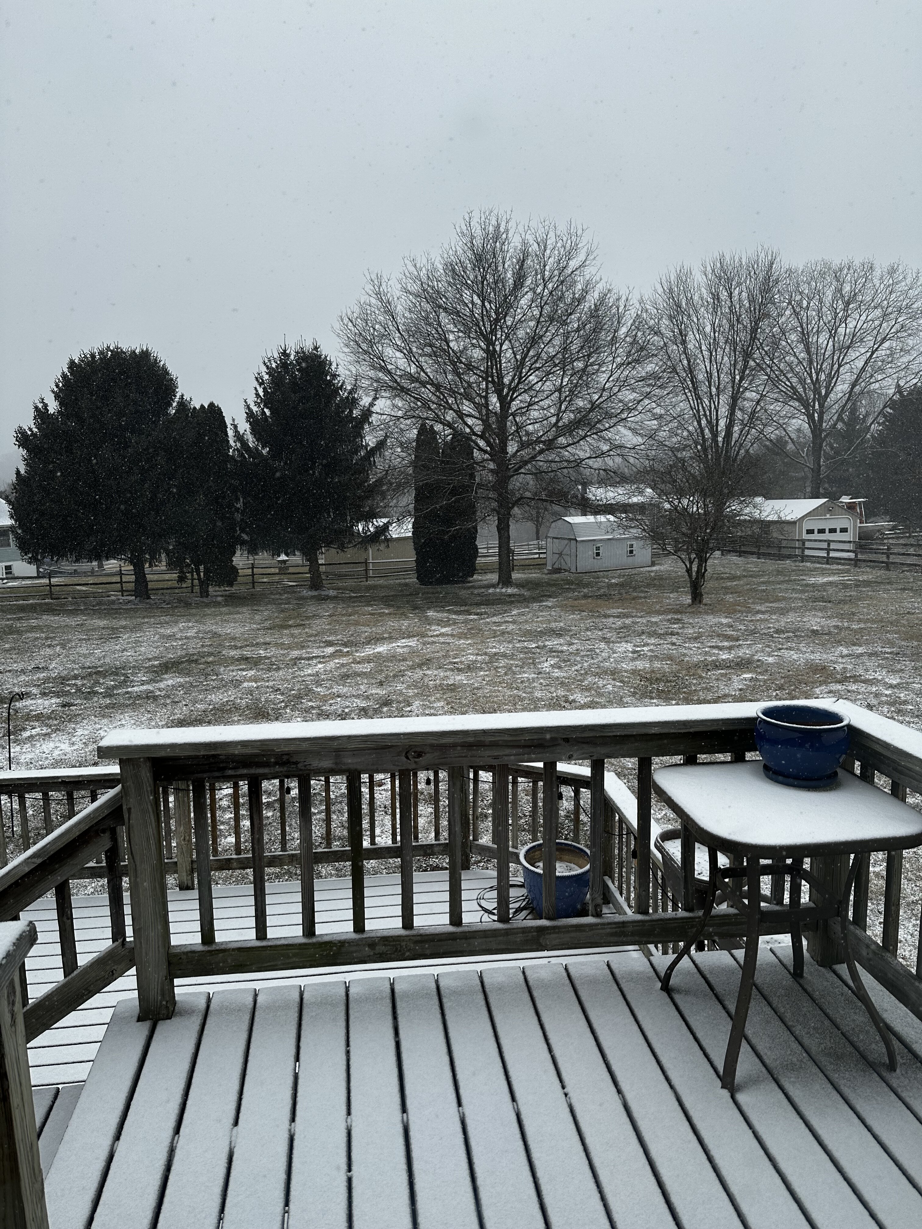
33 and accumulating
-

-
All snow now
-
38 with sneet
-
Tornado warning west and including Westminster
- 1,689 replies
-
- 2
-

-
- severe
- thunderstorms
- (and 7 more)
-
What. Snow? really?
-
Toasty
-
Jealous some of yall saw sun yesterday. Was stuck in the fog all day.
-
FWIW it was posted in almost all the subforums
-
Chilly today, low 40s. Where’s my warmth?!
-
Some rumbles of thunder last night 830-930. Nice slug of rain too, picked up .68
-

Outta gas and Outta Time: Early March Winter Storm finale
mappy replied to Ji's topic in Mid Atlantic
Enough of a glaze of ice to delay school 2hrs. -
Outta gas and Outta Time: Early March Winter Storm finale
mappy replied to Ji's topic in Mid Atlantic
I like your math better. To be in my 30s again -
Outta gas and Outta Time: Early March Winter Storm finale
mappy replied to Ji's topic in Mid Atlantic
I’m expecting norrisville to have gotten the same -
Outta gas and Outta Time: Early March Winter Storm finale
mappy replied to Ji's topic in Mid Atlantic
The WWA wasn’t for this snow but for any overnight sleet or mix. -
Outta gas and Outta Time: Early March Winter Storm finale
mappy replied to Ji's topic in Mid Atlantic
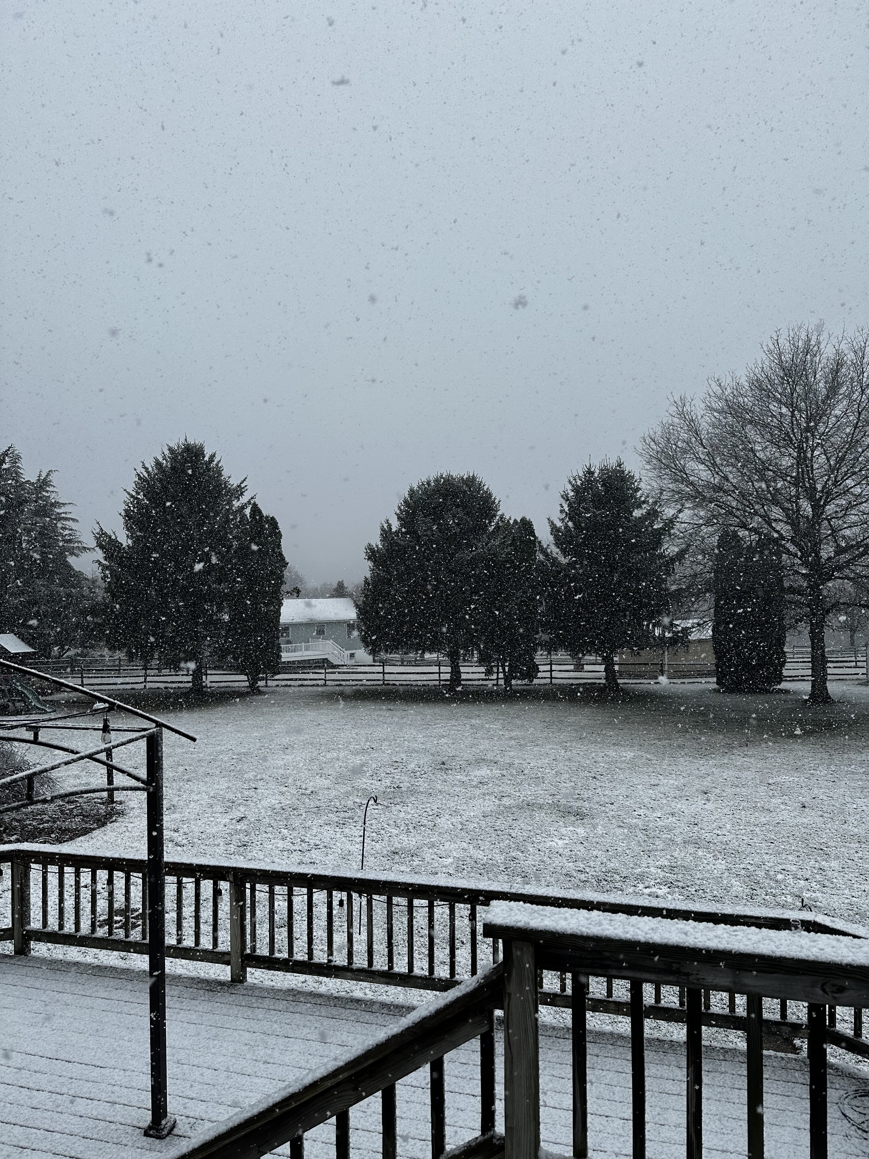
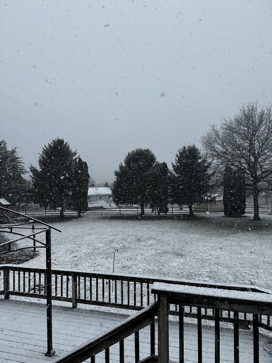
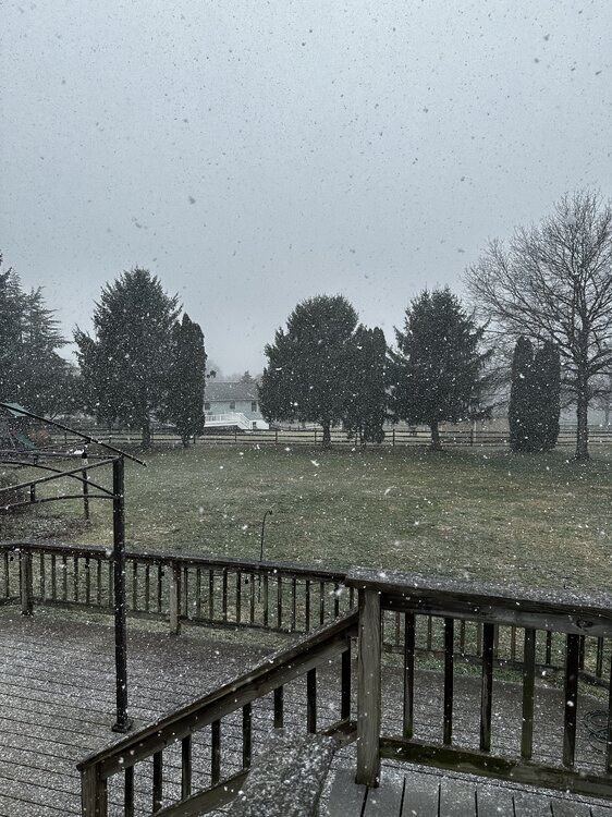
Nice dusting. Not sticking to roads.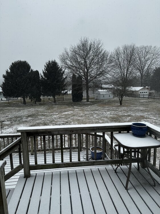
-
Outta gas and Outta Time: Early March Winter Storm finale
mappy replied to Ji's topic in Mid Atlantic
Tiny flakes here but are accumulating. On the far northern edge so precip is really light -
Had lunch and walked around historic Ellicott City today, beautiful day for it
-
Outta gas and Outta Time: Early March Winter Storm finale
mappy replied to Ji's topic in Mid Atlantic
Is it really gonna snow Monday? School just sent an email about sending devices home with kids tomorrow just in case. -
No winter will ever top 09-10 for me but I’m biased haha
-
Big difference in amounts just 10 miles south. Some yards already had areas of grass showing on the way to dance.
-
I shoveled around 730 was already slush at the bottom. Got about 60% done and had to come inside for a meeting. Mr map went out not long ago to finish and took him no time. It’s melting haha