Stormlover74
-
Posts
24,317 -
Joined
-
Last visited
Content Type
Profiles
Blogs
Forums
American Weather
Media Demo
Store
Gallery
Everything posted by Stormlover74
-
Crushed again .4", closing in on 2" since Friday
-
Hrrr keeps everything north and west
-
This could be the main show for the city and north jersey
-
-
Nice cell just east of ewr
-
1.45 since Friday thanks to last evening's deluge
-
Does this qualify as crapvection?
-
Over an inch now
-
Yeah it looked like it was going to stay west and I was telling people at a BBQ I think it will miss us....oops lol
-
Getting crushed now
-
I managed .09 at home but much more just to the east including flooding in westfield
-
There does seem to be a protective dome over Piscataway at the moment Brutal
-
Yeah just need this to drift like 2 or 3 miles
-
Going to be major flooding under this cell just west of the gsp
-
Pouring here in scotch plains as a storm fired up right over me
-
Clouds are on the increase now as is the humidity
-
Only about 40 miles to your south
-
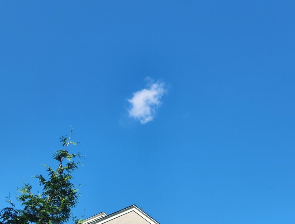
First crystal clear day in weeks
-
Starting Monday hopefully
-
Fwiw nam is fairly wet for tonight west of the city
-
Tropical downpours now
-
Must be. June was only 26 degrees warmer than January. Average would be closer to 39
-
The nam can't even agree with itself
-
I'm willing to be patient and see where we are in a week but some models ...ahem gfs...had widespread 2 to 3" by Monday and I just don't see it