

Stormlover74
-
Posts
22,489 -
Joined
-
Last visited
Content Type
Profiles
Blogs
Forums
American Weather
Media Demo
Store
Gallery
Everything posted by Stormlover74
-
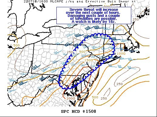
They put me under a watch for some reason
-
Naturally it heads to areas that just got 3 to 4" of rain Monday
-
Maybe for LI
-
Why?
-
Nam has some activity tomorrow early afternoon
-
...HEAT ADVISORY NOW IN EFFECT UNTIL 8 PM EDT SUNDAY... * WHAT...Heat index values in the upper 90s and lower 100s. * WHEN...Until 8 PM EDT Sunday. * IMPACTS...Hot temperatures and high humidity may cause heat illnesses to occur. * ADDITIONAL DETAILS...A few locations may reach heat index values around 105 Thursday and then again on Sunday.
-
Ewr is 98. Depending on clouds tomorrow and Friday they could make a run at 5 straight 100 degree days
-
I think he became wthrmn654
-
92/62 here for a real feel of 91
-
Earlier in the day they'll be running just a couple degrees warmer than other stations but they start to pull away by late afternoon. We'll see if today goes the same way
-
Brutal thru Saturday, less brutal after that
-
Ewr 92 as the extended heatwave begins
-
Getting that now but no thunder or lightning
-
Looking good for areas north of 78
-
-
-
I had my downpour for the day. I'm expecting that to be it based on the model trends @Rtd208
-
I meant to wake up at 2am and see if it was raining but it didn't happen
-
Nam and euro favor Monday now
-
Upton also seems to be having trouble as their forecast is usually off by 3 to 5 degrees but I get that they are forecasting for the area and not one city. Today for example low 90s which should be pretty accurate even with ewr at 96 or 97
-
That part of the Mid-Atlantic has had a banner year
-
The widespread watch was a bit perplexing. I feel like they've been very bullish this year with issuing them


