Stormlover74
-
Posts
22,484 -
Joined
-
Last visited
Content Type
Profiles
Blogs
Forums
American Weather
Media Demo
Store
Gallery
Everything posted by Stormlover74
-
75 on Christmas eve. Bank on it
-
Yeah 12z came in wetter but still dry Thursday unlike the nams
-
The nams bring in rain early on thursday now and last most of the day particularly west of the city Euro waits til Friday morning Rgem much drier
-
Some places in Iowa have dewpoints in the low 90s!
-
City probably won't today
-
And tomorrow will be the first day ewr goes above 90 for the month. They've hit exactly 90 like 5x
-
78/52. It's spectacular outside
-
Yeah not even the usual brown spots, of course I'm pulling weeds like crazy too
-
Yeah everything went to my east. Only got .18 which is fine. Looks like a fairly dry week coming up
-
A big gust blew through here then a new line formed just to my east
-
Tomorrow at this time dewpoints will be in the low 50s
-
Probably some type of insect excretion
-
How much did you get? My total seems suspiciously high
-
Wait I picked up 1.07 overnight? Didn't even know it rained
-
Some would prefer low 80s dewpoints
-
3k Nam has that central nj to LI jackpot
-
Activity stays south on the hrrr so don't cry
-
.41" maybe we get something later
-
Yeah I'm thinking this favors areas further north
-
There does look to be a very sharp cutoff around the Union Middlesex border
-
Not that I trust the hrrr but it weakens that initial batch before it makes it up here before bringing the heavy stuff in after midnight
-
Ewr at 89. Probably 90 between hours which would be a triple 90 heatwave
-
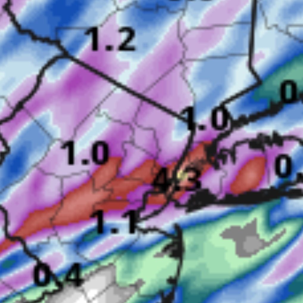
Flood watch for all of Upton's zones ...FLOOD WATCH IN EFFECT FROM 11 PM EDT THIS EVENING THROUGH TUESDAY MORNING... * WHAT...Flash flooding caused by excessive rainfall is possible. * WHERE...Portions of southern Connecticut, including the following areas, Northern Fairfield, Northern Middlesex, Northern New Haven, Northern New London, Southern Fairfield, Southern Middlesex, Southern New Haven and Southern New London. Portions of northeast New Jersey, including the following areas, Eastern Bergen, Eastern Essex, Eastern Passaic, Eastern Union, Hudson, Western Bergen, Western Essex, Western Passaic and Western Union. Portions of southeast New York, including the following areas, Bronx, Kings (Brooklyn), New York (Manhattan), Northeast Suffolk, Northern Nassau, Northern Queens, Northern Westchester, Northwest Suffolk, Orange, Putnam, Richmond (Staten Island), Rockland, Southeast Suffolk, Southern Nassau, Southern Queens, Southern Westchester and Southwest Suffolk. * WHEN...From 11 PM EDT this evening through Tuesday morning. * IMPACTS...Excessive runoff may result in flooding of urban areas, as well as quick responding rivers, creeks, streams, and other low-lying and flood-prone locations. * ADDITIONAL DETAILS... - A basin average of 1 to 2" of rainfall are expected across the area tonight, with locally 3" possible. Much of this rainfall will fall in a 3 to 5 hr period tonight into early Tuesday morning, over areas that have seen 2 to 4" of rain in the last week. Isolated areas of flash flooding are likely, with scattered areas of flash flooding possible in the path of the most persistent thunderstorm activity.