Stormlover74
-
Posts
22,482 -
Joined
-
Last visited
Content Type
Profiles
Blogs
Forums
American Weather
Media Demo
Store
Gallery
Everything posted by Stormlover74
-
 Hrrr seems to have 2 max areas that have been showing up the past couple runs. One from Philly over to Monmouth and the other far nw areas. That would be your 4"+. 2 to 4" in between Could change next run of course
 -
Okx has 3 to 5 for the city, immediate suburbs and 4 to 6 North and west. 2 to 4 LI
-
Don't need it. Just make it cold enough for snow
-
Along those lines but very close to 6+. I don't think it had much of anything last night
-
Cmc is a pretty decent hit
-
That would suck but isn't impossible
-
Rgem came in cold and beefed up accumulations. We have really nice consensus it seems. Hopefully everyone gets at least 2 with some 4 to 5 showing up over the interior. Any mixing near 95 and the coast which would be light anyway
-
Some places probably remain below freezing from tonight until next Monday
-
Just in general. Between Tuesday Wednesday and the past 2 days
-
Windiest week in years
-
-
Yeah getting that initial burst Monday evening is the difference between getting 2 or 4-5 What falls during the day is pretty unimpressive
-
Colder run just as I thought
-
They very well could be amped and I don't usually worry about the icon or rgem being too warm. The nam can often suck but is useful at finding that warm layer is all I'm saying
-
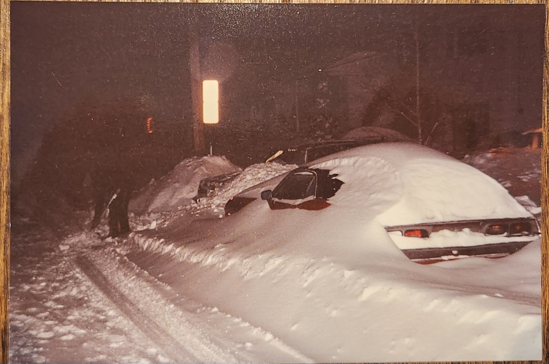
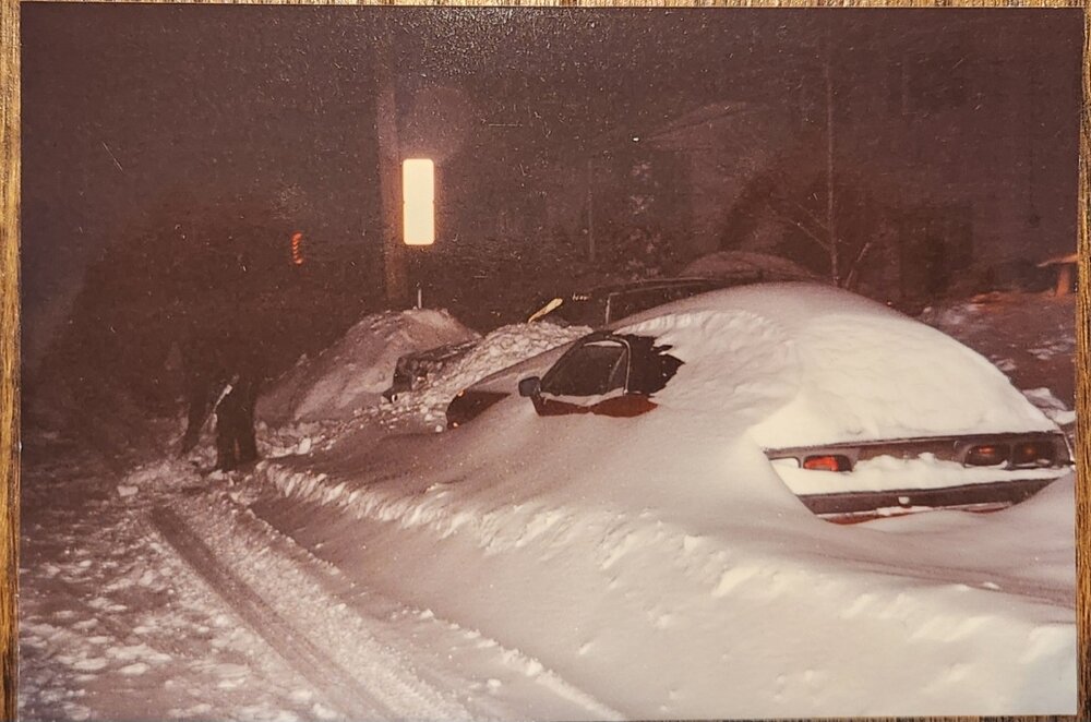
This was taken in Feb 94 after the back to back storms at my parents house in linden, nj. I know ewr measured like 27" that week and this is a crapload of snow so I don't think we were too far off from that number. Buried is my mom's 72 challenger that was my car in high school
-
I can ask for the nam to stop giving me sleet
-
Euro looks nice Friday. Solid event 4+ atm
-
Yeah nothing heavy enough to stick here either