ROOSTA
-
Posts
3,009 -
Joined
-
Last visited
Content Type
Profiles
Blogs
Forums
American Weather
Media Demo
Store
Gallery
Everything posted by ROOSTA
-
 In '78 it was known as going to be BIG. Not many predicted how BIG.
 -
Beware of the Mid-Latitude Tempest that develops and eye. BOMBS AWAY!
-
Grew-up watching Jack Chase and Don Kent. Kent lived in N. Wey. Stood-out in the neighborhood because he had an anemometer rooftop. I once tried to visit him, must have been a bad day. Told me to screw! LOL The first true meteorologist, a giant, pioneer for many who followed. In his illustrious words. "Friday will be a weather breeder day."
-
Not too often does a storm like this one I think is going to occur. Maximizing every component, re: track, strength, barometric pressure, VV's off the scale, coverage, on and on. Think about it. Sure, they happen from time to time, tracked and forgotten always looking for the next. One analysis for that wrench that could possibly screw the IMBY. Well, this one could be a contender for Top Five of all-time.
-
Repeat after me- "PHASING AND TIMING" All together now, all together now. Clown maps are fun but at this range useless except maybe for the jack fetish amongst us and then post emotional attachment. Three days out they become somewhat useful i.e. HRRR, RGEM, and yes, the NAM. Signature for a CF is becoming clearer, but hey it's only a model output. Use the tools given.
-
And then it's taken straight up the arz. LOL Sorry, couldn't resist...
-
These events beat tracking a tropical entity hands-down, twice on Sunday. The variables to consider are far greater, damage far lesser and fun if you know what to look for. From a personal perspective it's always been the time leading to the event not the event itself.
-
NESIS rating? I think this is a better way of categorizing instead of giving events a name. Thank-you K and U. I just glanced at the website. I believe this one will make top 10. Paul hasn't posted in the forum for eons. Brings out the best of the best.
-
As for the Tides, leaving that to Steve. New or Full moons always seem to coincide with the biggies, the multiple cycle with a fetch do the most damage and makes sense.
-
I don't get the poo-poo-ing. Guess you need a dog in the fight to critique. The more it changes accuracy wise, (as the models turn) the more it's the same. Accept no control and you have control. Will never be an exact science; acceptance is the key. Contemplating a "road-trip" if only my health where better!
-
Must be the season of (witch) "Noreasters" Don't look now but, Pattern locked, reloads and there she blows. Always thought this winter would deliver in a short timeframe! Could be a memorable February.
-
Say it, go ahead make my day...say it... okay BLIZZARD. Don't jinx it! Potential is there. I mean what possibly could go wrong?
-
Perfect time for a radio show. Does the forum still do them? They were fun and informative.
-
ATT Early prediction: O/U 100 pages? I'd go over. Which model is least wrong, EURO or GFS? EURO has been fluctuating lately. Go GFS Locked: I'll get no snow LOL
-
I think it's gonna snow. This set-up is "CLASSIC" Whether it be reports of 100mph gusts, blizzard conditions, or a CF that has 2' cut-off amounts over a stretch of 10 miles. This baby is gonna have it all. Disclaimer: "As depicted NOW" And of course BOMBS AWAY!!!
-
Looking mighty fine, mighty fine. Adrenaline flowing already, by far the greatest threat this season for the starved. And yet a 2footer will not satisfy the masses. What a hoot it would be to see a 4 seed play a 6 seed in the SB.

-
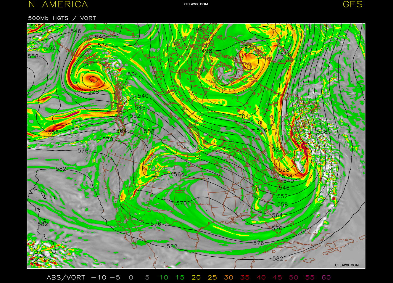
Slip-sliding away? Not necessarily, the players have yet to enter the playing field. WAY to MUCH emotional posts, (taken verbatim) is a weenie trait) do not fall onto that trap. The mean trough is still present, hgts upstream, downstream are going to fluctuate, strength of vorticity, orientation of trough axis will change. It's an OP model output. IMHO it's wrong especially with such lead-time. Relax, because nobody can control the chaos. It's only a threat, being something to track is better than nada.
-
Already read the book. Rommel?
-
Way out in la-la-land (outside of 3 days) the 00z GFS snow depth change maps have 2' amounts in SEMA. Now to get some consistency and agreement on models. Way overdue, increasing interest and threat.
-
I have to give credit to my elder sister (a teacher) who got me started at the grasshopper age of 6. I've forgotten most of what has been learned over the years. Florida is a bore with the exception of tropical season. Once in your blood it never just goes away.
-
THAT THERE IS "POTENTIAL." Could be a contender, consideration of timeframe (168h) that's all anyone can hope for. I think February is going to deliver.
-
'78. Just the mention of "78" only one thing comes to mind. A benchmark that's been rivaled but not surpassed. I was in AZ. to this day I regret missing.
-
Don't look... Severe Thunderstorm Warning issued out of Mt. Holly. Dynamic sucker!
-
Monitoring a potential important TV to East Coastal storm: Jan 17
ROOSTA replied to Typhoon Tip's topic in New England
SFC wind. Not good for snow. (NAM 00z) Time to move on I think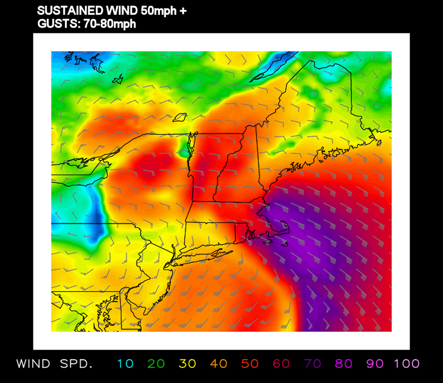
-
Monitoring a potential important TV to East Coastal storm: Jan 17
ROOSTA replied to Typhoon Tip's topic in New England
IDK. IMHO thinking is it's way to early to be putting numbers out. Present models (well, GFS anyway) has a more N to S orientation to snow amounts with the Metro Boston area briefly starting as snow and end up with zip to 1" of slop. Double barrelled L's that never consolidate. At the height of the tempest the surface is flooded with warmth out to roughly the Berks. Throwing in the obligatory ----ATT