jbenedet
-
Posts
6,955 -
Joined
-
Last visited
Content Type
Profiles
Blogs
Forums
American Weather
Media Demo
Store
Gallery
Everything posted by jbenedet
-

OBS/DISCO - The Historic James Blizzard of 2022
jbenedet replied to TalcottWx's topic in New England
NESIS doesn’t factor wind and cold, and this storm is a top contender in this regard. I’ll def remember it for these qualities alone. -
OBS/DISCO - The Historic James Blizzard of 2022
jbenedet replied to TalcottWx's topic in New England
Gloucester the regional jack? -
OBS/DISCO - The Historic James Blizzard of 2022
jbenedet replied to TalcottWx's topic in New England
Cape and island looking at high risk of dry slot. NWS could bust there—latest map looks solid otherwise. But that’s of course good news for the areas northwest looking to share in the best banding… -
This one is unusual in that the mid levels closing off (timing) and tracks were always great for the interior but the surface track worsened. You guys will still get a good storm out of this bc of the former. It doesn’t help either that your climo raises the bar for what is a big snowstorm event. My big take home is that if the flow is fast off the east coast without blocking, sell the clean phase. At the end of the day I think a ++NAO bit us again. Not terribly, but enough to reduce this to best storm of the year, from best in 10 or 20.
-
OBS/DISCO - The Historic James Blizzard of 2022
jbenedet replied to TalcottWx's topic in New England
Seeing best push west in NH and ME. I think the best bands can make it to Concord/Winne given the mid level track. West of there, not more than a few inches, generally. -
Think one could have done better to head to the beach and stare at the sky and ocean and count seagulls for 10 minutes to figure this forecast than to watch today’s model runs. Technology can be regressive folks.
-
H5 keeps improving, the surface is following but much less than the Upper levels indicate.
-
Seeing H5 start to close at hr 24 now. Earlier vs 6z
-
It’s after hr 12 where we lose that positive trend due to the surface low displacement. Let’s see if we shake that finally. edit: def slight improvement all around at hr18. Good to see.
-
You can definitely see the convective feedback on the HRRR and how it want to collocate the best surface pressure falls with the explosive convection. Normally we’d say toss, but guidance is all latching onto this and maintaining a surface low to the east under it. The latest HRRR run is showing improvement in this regard, however.
-
Where's the obs thread? solid radar returns in SNE.
-
Def not. But can’t ignore latest outputs. To me confidence increasing for >12” snows in mid Atlantic while our uncertainty is increasing, especially in NNE. The mid Atlantic less affected by the east low bc they’re cashing in before it happens. They’re also benefiting from the better H5 trough intensity that’s happening early on..,hr 15 or so. Dual trends of sorts. Better earlier, worse later. Curious for sure…but not unlikely per the consistent guidance.
-
Yea I mean the biggest impact is that we shed some of the rapid deepening early on —after hr 15 or so. Positive feedback is slowed, and therefore the H5 occlusion slows. It’s odd. Early on shows the trough going negative sooner, but then stymied by the “tropical low” wanting to kick east—misaligning the deepening and surface pressure falls.
-
Having much more of that DC to Boston snowstorm look now.
-
The H5 trough looks deeper on the NAM through 15–better phasing.
-
For the areas in LI and western CT that are already snowing, this is a long azz event. Wow. The 12k NAM doesn’t show the snow ending, it very gradually builds throughout the day. Those areas could end up being the regional qpf Jackpot. Given this and the H5 track
-
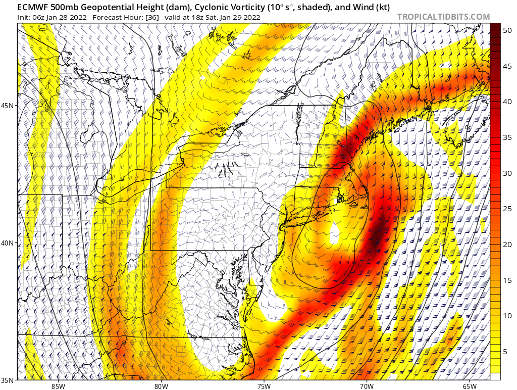
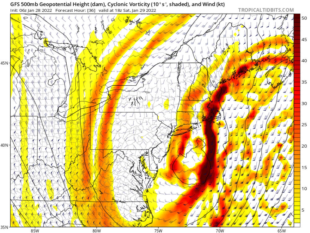
I agree that’s an important shift. If you can make it out at a North America “view” without straining your eyes it’s not noise. That’s a 50 mile shift southwest with the H5 occlusion. Big deal for mid Atlantic and the west crew.
-
To me, the risk for small corrections is tilted west given the H500 cut-off timing/location south of LI. The surface will follow the H5 low, it’s just a matter of sooner or later. Right now GFS and euro are saying later. So that’s the qpf output for this scenario. What if it happens sooner?

-
Yea I say it is. We can get philosophical about this with semantics, and all but the UL Long wave trough *is* our storm.
-
Heh. I mean, it’s been so flippin cold out—all flakes count. It will affect totals despite the meager rates.
-
Already reports of steady light snow in Eastern PA. You guys in CT should keep an eye on this.
-
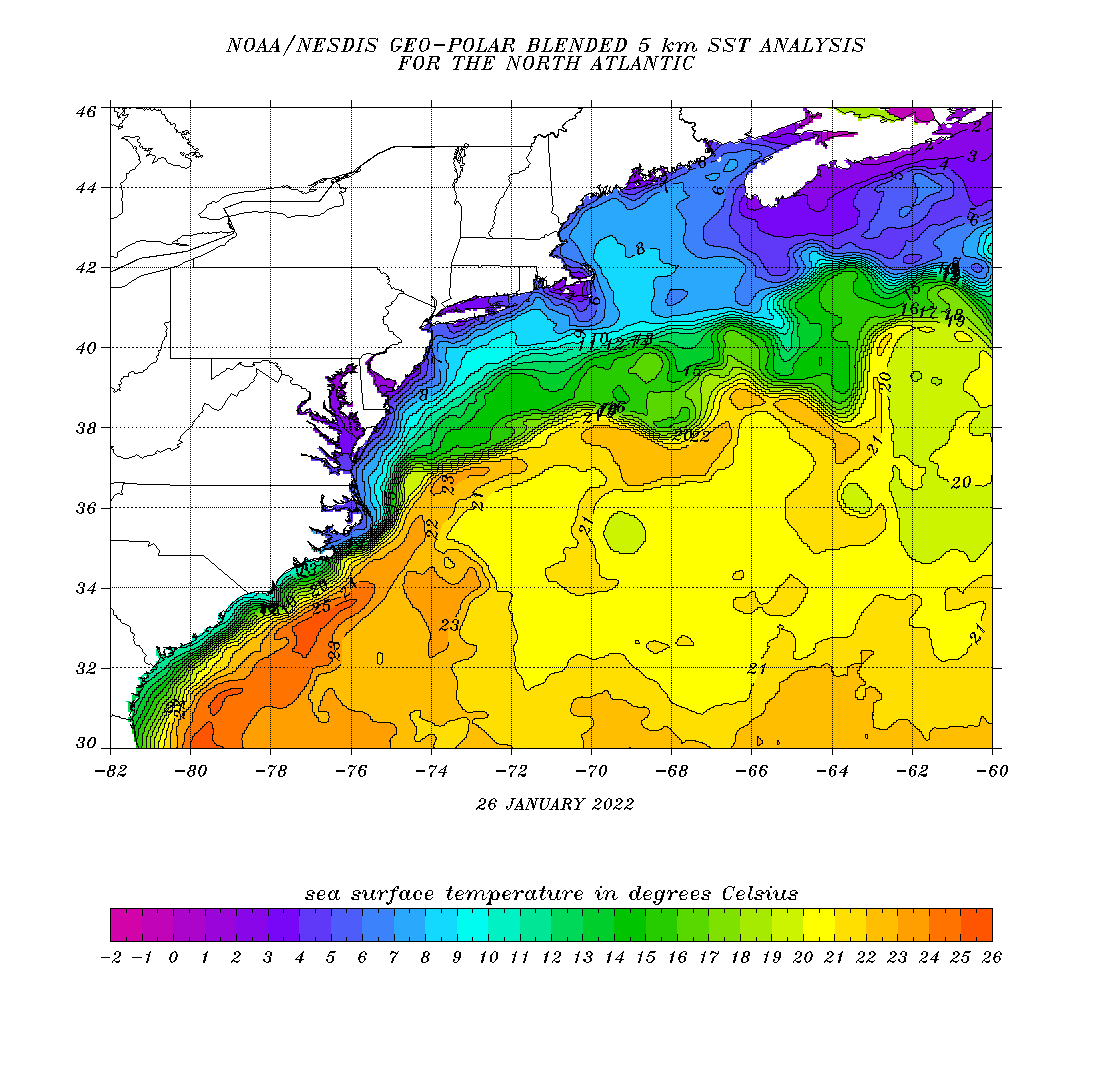
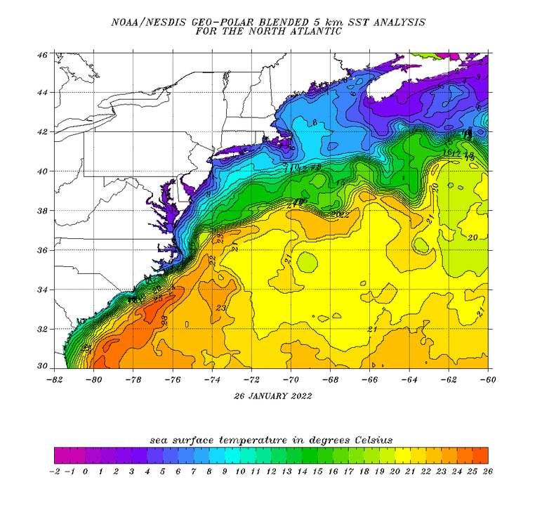
As I mentioned many days ago that warm core/sub tropical structure on guidance is causing chaos (additional uncertainty) in the phasing and resolving the best area for surface pressure falls. More tropical-like it is, the later the H5 capture. Outside of the SE coast, SST’s are not supportive of a tropical system. Period. So the system will quickly gravitate towards baroclinicity. The question remains how fast? I’d hedge sooner vs later given the temps over the northern Gulf Stream are closer to 70F vs low 80’s during tropical season. Conversely if this was late November I’d be hedging the other way. I do think the hook back scenario is likely and it will be more pronounced the longer it takes the tropical component to shake its “warm-core” predominance.
-
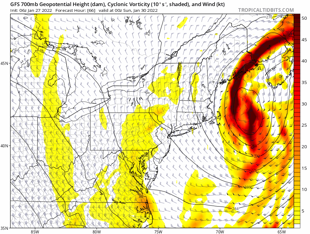
Also this track and timing with respect to stall and H5 phase presents the biggest impact for wind and coastal flooding. Nasty for eastern MA.
-
Yes and essentially proves my point. Sarnia is the same latitude as the central gulf of Maine—Portsmouth NH. That’s your extreme high end up here.