

jbenedet
-
Posts
6,955 -
Joined
-
Last visited
Content Type
Profiles
Blogs
Forums
American Weather
Media Demo
Store
Gallery
Everything posted by jbenedet
-
GFS op the most bullish on the clippah is also trending drier with the other guidance. 2 ongoing trends- ticks south and larger shifts down in qpf overall. Boston does okay this run bc it’s the IVT, but we won’t know where that sets up until it’s actually happening.
-
Looks more like a clipper redeveloper. Weak, late and more north than we want though.There’s a qpf min showing up across guidance where most of us live. Guidance trending drier. The initial surface reflection hits upstate NY and VT but then redevelops southeast of Portland. The secondary works for Maine not really anyone else outside the narrow IVT potential (good luck on that). Forget temps, 935mb low near Greenland ain’t gonna give this little critter the wave space to do much of anything east of CT river.
-
Zzzzzzzzzzz
-
Says the guy who moved up here from DC
-
Last week was worse with the wind. I think this week will fall to previous in real feel. We’ll get the lower lows at night but daytime real feel will be warmer.
-
Logan bottomed out at 13F. Weak sauce.
-
We’re getting soft up here. deep winter is a 5” pack and single digit lows on 1/20.
-
2F. Weak for the date and weaker than expected. Shoulda known, the way the -AO is weak and fleeting. Unless we optimally radiate this cold snap will significantly underperform.
-
This is exactly how I’m feeling in the seacoast NH. Much closer to normal. Slightly above. This week will probably put us very close to normal temp wise maybe even tilt us to slightly BN. That’s before the next big warmup though…
-
 After about an hour of light rain it’s been snow since about 5 but white rain. 36/33
 -
First precip is rain in Dover NH.
-
It’s a beautiful morning. Could get by with a sweatshirt during the dog walk.
-
Looking at radar—looks like it’s moving into our area by noon… Ahead of schedule…
-
It’s much better than the op guidance. That’s my main point. But yea, during warm-ups the tendency is also for these to be slightly too cold.
-
MOS surface temps are not used enough around here on the coast. That would help balance these clown maps out in the warmer areas. Blasphemy.
-
I hate you for this.
-
yes atmosphere is cold above the surface But - it’s a fast mover, ground will be warm and surface temps warm at onset. I’m concerned overall ratios and white rain, before the flip to good rates. I’m expecting 4” imby. And more confidence it ends up lower than higher. 3-4” highest confidence.
-
12z NAM op has surface temps peaking in the mid 30’s today. But NAM MOS has PSM with high of 42, and not going below freezing until 3z tomorrow. Guess which one is completely wrong.
-
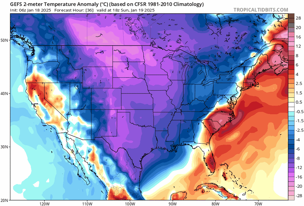
The reason why I’m on board with the cmc/Rgem because the GEFS temp anoms most resemble the warmth and location of the BZ on those op runs.
-
Yea no kiddin’. This is basically what my first post was. Half of qpf to rain then a flip to snow. That’s my base case here. But weenies can’t even handle that forecast…
-
Thanks for posting this right below @ORH_wxman”no issues in coastal NH”. Yea I know you guys wear snow goggles but I’m most aligned with the Rgem/CMC
-
I said DAW south and east. It’s a lot of people by population. Most of the region will get a good snowfall. Good storm.
-
It’ll be in low 40’s today and tomorrow in a good chunk of the sub forum and with the snow melt, weenie psychology will start melting too.
-
Gonna be interesting. We’ve had seasonal cold and many have lost that +3F that shows up in our background state in situation just like this. It’s antecedent warmth. And the models are back to being too cold already. Check out obs right now. I don’t trust the GFS thermals at all right now. It’s gonna tick warmer along the coast. I’m also not seeing why the SLP can’t run over SE MA given the orientation of the BZ.


