

jbenedet
-
Posts
6,963 -
Joined
-
Last visited
Content Type
Profiles
Blogs
Forums
American Weather
Media Demo
Store
Gallery
Everything posted by jbenedet
-
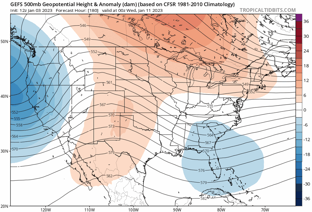
I usually don't comment at this lead time, but the day 7/8 event is (currently) terrible odds for big snows outside Maine and far interior of NNE. Even with an early occlusion and favorable H5 low track (south of New England) and 1040 mb high in QC, end up with a big rainer for most. That's your CLEAR warning. You've basically seen the best result (output) of this setup for snow, and the ultimate outcome is still WARM. The confluence is +NAO based and therefore fleeting. Consistent red flags on this. So, if things tilt more progressive -- then what? An end to end soaker. Happy tracking.
-
Is that insulting to me or you. Supposedly you use models and are a met expert, and I track geese and don't know meteorology, and I greatly outperform you? The jokes on you bro.
-
You can quote my posts from 3 days ago which would be more on point than your nowcasts.
-
@CoastalWx - if you can unlearn everything in meteorology you supposedly know, that would do you well. Maybe you couldn't keep the job, but at least you could forecast weather.
-
All those rain obs... @CoastalWx ropa-doping the snow weenies into another non-event. The cold-tuck that wasn't. Cold-*uck But he'll surely tell you accurately, what is happening right now!
-
Are you here for re-analysis or forecasting? We can all look out a window.
-
Every day. It shows.
-
Really interesting seeing Albany at 40/39 and North Adam’s MA at 38/35. Incredibly warm for Jan 6. The mesos have this boundary as a quasi stationary front, whereas the globals swing this through the area as a weak warm front associated with the surface low in Ontario. Basically mesos saying the weakening NB surface HP will be enough to hold its ground while globals saying “not a chance” it’s gonna get booted east. Climo matches the mesos; persistence matches the globals. I lean with persistence.
-
Depends on who ya been following I guess.
-
Some pointer finger dexterity there. Well done.
-
Yea this is the one to watch.
-
No punctuation or caps. How long to hunt and peck this mahk? 10 minutes?
-
Digging a hole of stupidity. No help needed. Keep going. You're doing great.
-
Clown maps for clowns, produced by clowns. 240 hrs out. Now that's degree material right there. That's a sebastian maniscalco "Aren't you embarrassed??" moment.
-
@RUNNAWAYICEBERG Too much prune juice this morning ?
-
Lawnuary.
-
200 hr+ maps since November. It's as if, they aren't learning anything.
-
Vatican issued. It's the best. Elite.
-
I start thinking like the rest of you, I won't be able to forecast. @brooklynwx99--a 24 yr old amateur flexin' his new red tag with model graphics we all can see--has been leading you all off a bridge. But like minded as you are, happily off you go. Aren't you like more than twice his age?
-
This phases with the northern stream this could be a great event for western sections of the sub forum. Worth watching with moderate interest CT river West, given persistence trends. If not, it's ots.
-
Lol this is awesome. 120hr out.
-
Yea few inches of paste out there. Will look and feel nice for the snow lovers.
-
I work at the vatican.
-
Nice try? oof. Weak.


