jbenedet
-
Posts
6,955 -
Joined
-
Last visited
Content Type
Profiles
Blogs
Forums
American Weather
Media Demo
Store
Gallery
Everything posted by jbenedet
-
 Yea that is true on ratios. Will see. Nashua on East could maximize the ratio aspect. I could see that.
 -
The 6z Euro AI should be analyzed and weighed. I think the evolution and track makes a lot of physical sense given the tuck and lack of dynamics with this. That said I do think it’s qpf is too dry for points SOP. 7” mean is a good bet there.
-
I still don’t buy the .5- 75” qpf contours into a chunk of NNE. Seems way to generous This also looks tucky. Classic cold tuck setup that guidance ain’t catching until nowcast. It’s going to yield colder throughout but I also think that will intensify the snow accumulation gradient with highest amount south of pike and much less when you get MA/NH border. The cold tuck will maximize the snow potential for you guys in the south. congrats.
-
The GFS qpf distribution looks way too generous, north of pike given the overall Synoptics. Open frontal wave 1003 mb, very dry air mass, and weak UL vort. This isn’t an over-running setup either. euro/NAM make much more sense in this regard. The best forcing continues to be modeled along the south shore of CT into SE MA. 7”; locally 10” is a good mean expectation around there. I wouldn’t be worried about taint either. It’s cold; and the cold has been really flexing the past 2 weeks. North of the pike this looks more like a moderate clipper with sharp cut off, but still enough for high end advisory. I’m expecting 3” here in Dover.
-
Tracking February 6. Light to moderate event potential
jbenedet replied to Typhoon Tip's topic in New England
Get to see by radar just how shallow the cold is which is pretty cool. Not an isentropic lift setup; holes in the precip. If you went more aggressive with snowfall amounts, probably a good time to shave some off. -
Seeing these big clown maps up here but she gon south.

-
The 18z nam was a lot colder for the weekend. wagon's south.
-
Dews in the low teens and I doubt my high gets out of the low 20's on Sunday. Not a recipe for big snow sans a mid level hook up and CCB, which is not the case here... Congrats SOP. wagons south.
-
Perfect high placement with arctic airmass in place. I think this is great setup for a 6"-10" storm, pike south. I think the risk is we see ticks south on this, and a sharp cut off just to the north. The ensembles are already showing it. LI, coastal CT RI and southeast MA is where you want to be imo.

-
That's some serious cold in Quebec on Saturday - Sunday. Sub zero highs, in quebec city. I think suppression risk is real for NNE. Looks great for the southern crew though.
-
Tracking February 6. Light to moderate event potential
jbenedet replied to Typhoon Tip's topic in New England
I actually think you're in a pretty good spot for a few inches. I'm expecting much more of an East/west gradient with this one. Looks like a classic coastal front setup - along 95 and maybe up over my head by 21z tomorrow. -
Tracking February 6. Light to moderate event potential
jbenedet replied to Typhoon Tip's topic in New England
Will be interesting to see how surface temps perform tomorrow along the coast. The mesolow is a bit of a forecast trap given the syntopic ageo gradient is still very much oriented off the atlantic, with the primary in ontario at ~988 mb, and surface high to our south/east. Winds are out of the south/east along the coast as early as 12z tomorrow...The surface cold seen on guidance for tomorrow morning is very shallow and radiational cooling induced - the atmosphere is otherwise relatively warm to start. -
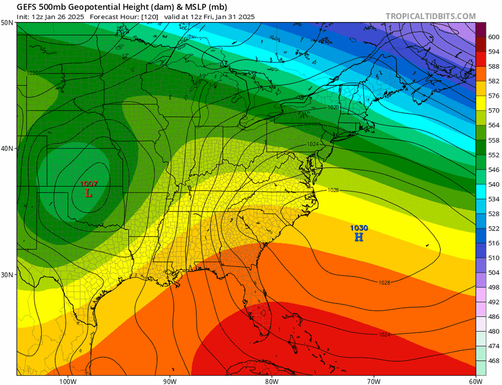
Mid winter Jan/15 to feb 15 has been sufficient to bring and sustain winter down to the southern border of NH and VT with pretty remarkable consistency this year, and years prior. The deep cold in Canada has been able to reach to this margin, but not any further. It’s a hard cut off just south of there—with more March vibes than early February throughout 90% most of SNE. Really consistent latitudinal gradient…
-
Today’s cold shot is here but it just seems like it keeps getting delayed. Really surprised to see 34 this morning heading into work. The guidance still clearly wants to punch in the cold tonight into tomorrow morning. How much substance it has will dictate the Thursday snowfall potential…
-
SW winds 14 mph at ORH last hour. Quick check upstream: 44/40 at Philly current hour. This is a cold front passage but oriented N/S rather than E/W but it’s not a back door. It’s really warm ahead of it; the temp doesn’t stop rising until the front moves through.
-
lol that NAM run. Really is something relying on a model that’s 5 degrees too cold at initialization. The 6z euro is tracking much closer to current temps. PSM already 36/28
-
24F in Dover. Not one piece of operational guidance was close. Already ~ +5 vs the operational guidance. Yea I know MOS guidance better in this regard, but that MOS guidance aint producing our clown maps.
-
This morning's cold shot getting digested in short term models but it's fleeting. It's out by this evening. Today's temps are already coming in warmer than progged.
-
Leave it to the Nam for a wholesale shift inside 36 hours. The 6z Euro continues to tick warmer at 850, and is all rain even here in SE NH.
-
My hunch is if you warm sectored bigly today you’re not in a good spot for majority frozen on Friday.
-
Ya and even the GEFS calling out the op. one run bump

-
GFS for today. Caught up to close, but still too cold. So trustworthy for Friday

-
Zzzzz
-
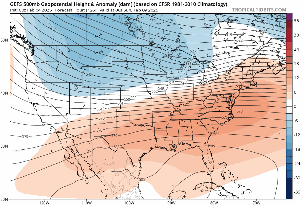
Thurs event looks warm on the ensemble guidance. The bulk of us warm sector. It really is a shit setup for 90% of us with string of surface lows in the east, and the canadian high well to the west, trailing behind the precip. Back to worrying about the UL height tendency over the east coast with a flexing WAR. Pretty cool how you see almost no trend at ACY's longitude but at the cape, heights have shifted 300 miles north in 42 hrs of model runs.