jbenedet
-
Posts
6,963 -
Joined
-
Last visited
Content Type
Profiles
Blogs
Forums
American Weather
Media Demo
Store
Gallery
Everything posted by jbenedet
-

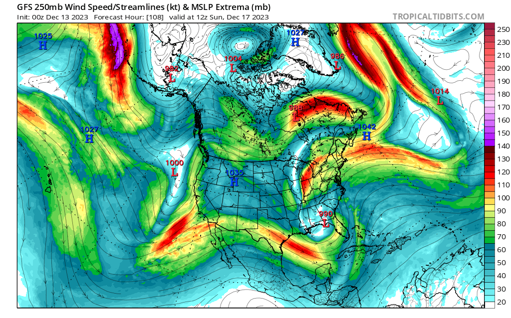
Sunday, December 17 - Monday, December 18, 2023 Storm
jbenedet replied to weatherwiz's topic in New England
Enjoy! But please observe safely; i.e, stay off the road! -
Sunday, December 17 - Monday, December 18, 2023 Storm
jbenedet replied to weatherwiz's topic in New England
Gonna rip big time when this front makes it to PWM. -
Sunday, December 17 - Monday, December 18, 2023 Storm
jbenedet replied to weatherwiz's topic in New England
Legit TS conditions at BOS last hour. 39 sustained 53gust. temp 60/58. nice. -
Sunday, December 17 - Monday, December 18, 2023 Storm
jbenedet replied to weatherwiz's topic in New England
Cooked. Have to go west of Detroit to find a dew at/below freezing.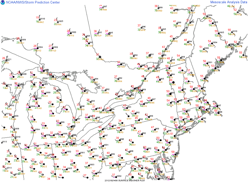
-
Sunday, December 17 - Monday, December 18, 2023 Storm
jbenedet replied to weatherwiz's topic in New England
Mount Washington 37/37 with 89 mph sustained. Snowpack in north country getting obliterated. -
Sunday, December 17 - Monday, December 18, 2023 Storm
jbenedet replied to weatherwiz's topic in New England
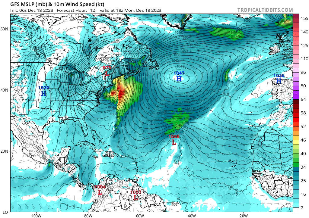
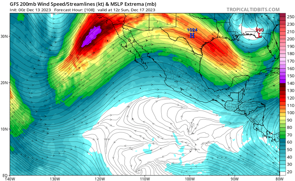
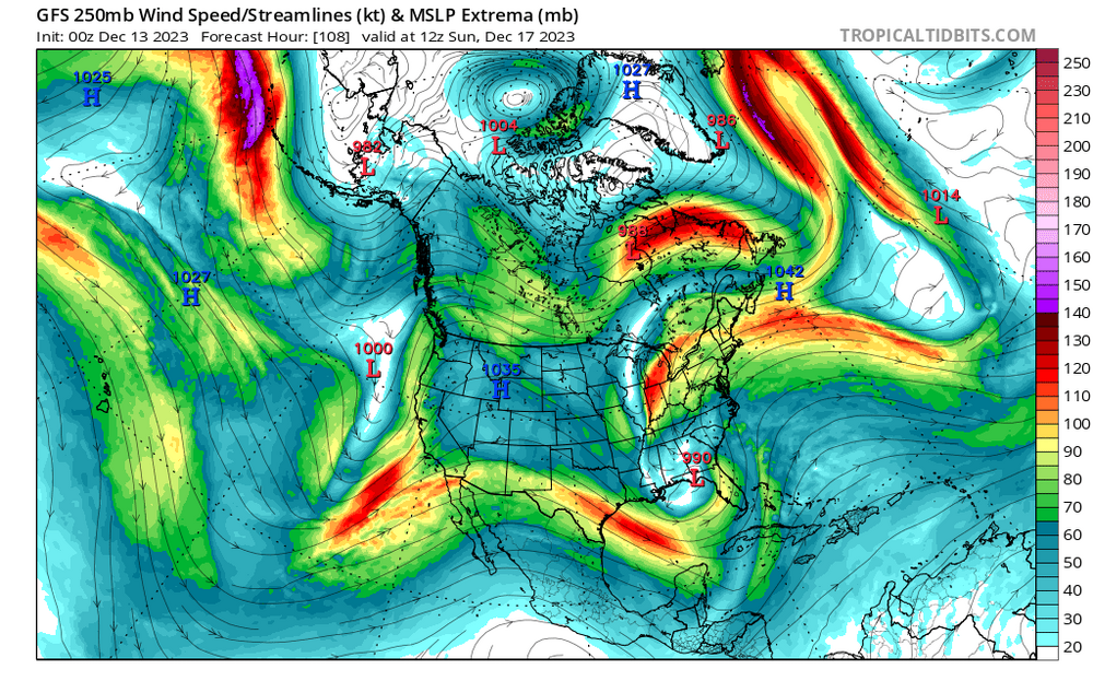
Storm bottoms out around Burlington VT; 978. 1047 high south of Greenland. PWM positioned between those points, with ESE facing.
-
Sunday, December 17 - Monday, December 18, 2023 Storm
jbenedet replied to weatherwiz's topic in New England
I believe PWM gonna get this the worst -
Sunday, December 17 - Monday, December 18, 2023 Storm
jbenedet replied to weatherwiz's topic in New England
Very lucky this happening with leaves down. Otherwise would be trees down all over already and we’re only 1/3 way through this. -
Sunday, December 17 - Monday, December 18, 2023 Storm
jbenedet replied to weatherwiz's topic in New England
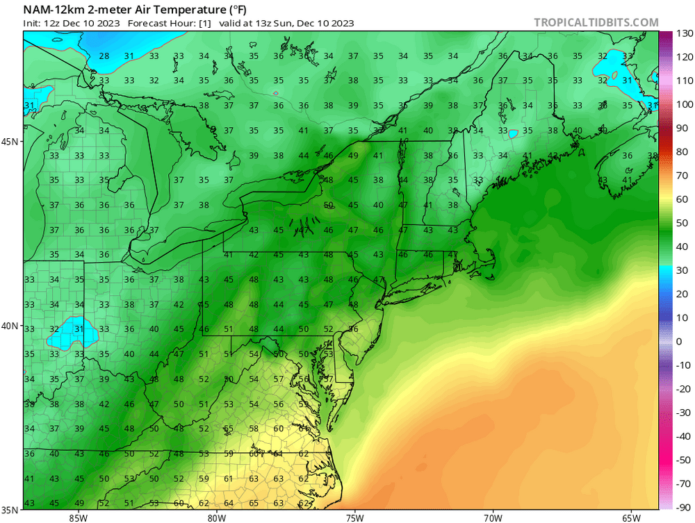
Sun is out; filtered sun at Gillette and already 50F. -
Bruins game today; pats game tomorrow. Sweatshirts only. We take.
-
We 50’s AWT
-
I can see that vis-a-vis 2015-2016. Super El Niños send the +p anomalies (nov/dec) into Southern Canada, and it’s still cold enough to snow—this in turn produces an early rock solid pack in our cold source regions. I believe that helped us out January-March 2016 as pattern shifted more favorable, but generally, not great. Instead, this season, with Pacific being tame, Canada has been dry and most of the precip south….No pack build up. I’m definitely less optimistic for cold/snow than 2015-2016 from this point on.
-
Kind of an irony where the simplest forecast, again, would have been the best. All the rest is BS. We’re tracking somewhere between 2006-2007 and 2015-2016 snowfall wise in the CONUS. The former was a moderate El Niño, the latter a super El Niño. We’re tracking between those El Niño conditions today; strong El Niño. Shocker! Nope not at all if you can tune out all the noise. Take those years, average the outcome, run it from this point. That’s your best guess for high end snow/cold outcome from here. Hedge in favor of less than that baseline with +1C surface temps vs 06/07; 15/16 average.
-
It’s an important initial condition. But it’s also one among many. That’s all. It’s all a game of odds. This one piece is stacked against colder and snowier. Hedge. Accordingly.
-
Hey look on the bright side-Maybe we can break some all-time low records on North American snow cover over the next 5 days.
-
Eyeballing it, but by end of this weekend I believe North America (including south Canada only) will be tracking close to a month behind in terms of snow cover (SWE). Kinda important to add a AN bias to surface temps until/unless this gap closes. Area covered by snow: Dec 15 2023: 18.7% Dec 15 2022: 42.3% Dec 15 2015: 37.4% December 2015 was paltry snow-cover in the CONUS but manpack across southern canada, especially vs this year.
-
We've had 8 years of AGW, though. I'm half-kidding on this topic.
-
Yea it’s warm, but take up those progged surface temps with this look, Saturday and Sunday. Low 50’s make more sense across SNE away from the immediate shore. …Heavy clouds and all, this is a furnace that’s going to take the climo corrections to the woodshed. Won’t see it in guidance, ever, either—we’ll just wake up to it.
-
That’s a powder keg of UL forcing for Florida/GA. Wow. only 96 hours out, too
-
Where is the sarc tag on this.
-
That’s a cutter on the 18/19th. Maybe a “where no one lives special” @Damage In Tolland will surely warn of impending doom whatever it is. The following day, branches down and puddles galore. Oh the horror. Happy tracking stick season.
-
DAW: 45/45 ”behind the cold front”
-
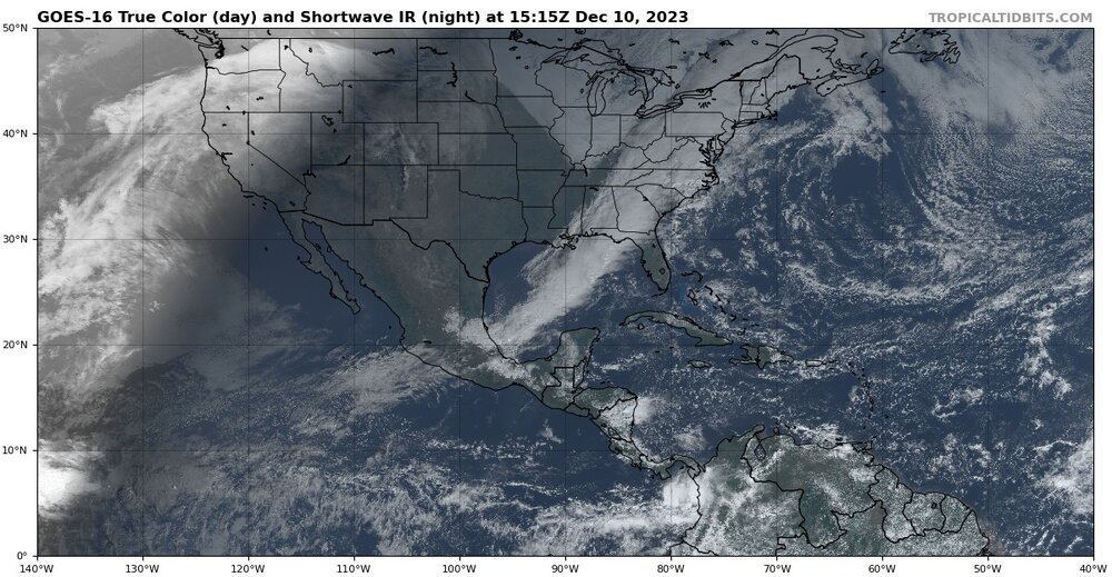
Tropical airmass getting ingested into this system from the tropical pacific.
-
That NAM run was drunk.
-
Guidance way too cold at this hr; 47/47 at PSM as of 8:55 a.m.