-
Posts
3,704 -
Joined
-
Last visited
Content Type
Profiles
Blogs
Forums
American Weather
Media Demo
Store
Gallery
Everything posted by backedgeapproaching
-
Yep, along with Tamarack who can get 48" of snow for a season and still have a 30" snowpack...lol.
-
HRRR has a 38F over your house at 7pm..so sort of close.
-
As PF mentioned l, the micro climates are insane in NNE. Gene rotting at 28-30F all day while your at 40F at 1500ft. One glance at a topo map and you know south winds are going to be trouble for your area. Not many areas that do well on all wind directions where people actually live. Locally Woodford does pretty well on most wind directions, so good for the 100 people there..lol.
-
Warmest in NH outside of coastal NH---congrats? 39.2F here as well.
-
Yea, safe to assume at this point S/SSE/SW wind downslopes Phin's area in some way. But again, that is the winds you want to do it on if you're going to downslope. Speaking of downslope, was in DDH this afternoon and sun was coming out and temps near 50F on car thermo---honestly felt really nice, practically T-shirt weather. You could start some garden tilling there today if you wanted..lol. Somewhat warm here too at 38.4F.
-
1.4"-- changeover just about imminent, up to 31.9F. Should be first rain drops shortly in quite a while, definitely a good run.
-
The Holliston Cocorahs guy was 7.5" this morning. No idea where they are vs you and if they have sun vs shade which obviously matters. You look you have some decent shade there to protect it a bit.
-
I'm sure this isn't news to you guys locally, but cover was definitely spotty when I was on I-91 and I-90 yesterday. South of about Deerfield Mass coverage went down pretty quickly. Brattleboro VT still had 10" solid eveywhere. Medians on highways are going to torch first obviously, but long stretches of nothing.
-
After 3-4 months, it seems like it's not quite the upslope haven compared to say Alex and obviously northern greens western slopes. It certainly is a great synoptic system spot though. It seems the moose fart short waves dont quite produce over there the same as in NVT. Im sure if a wound up LP moved into eastern Canada and slowed down it could hit that area hard with backside upslope, don't think we have really had one of those though this season. Like PF said, more like squally in nature as opposed to those radar shots PF posts of the precip slamming into a wall. Always good to refreshers though.
-
Picked up 1.6" today. Roads actually became a mess with that quick upslope hit around 6-630. 8.5" past 2 days. That might be it for little while down here.
-
Pounding close to S+ out there with some big flakage...wont last long. Tomorrow will feel weird with mid 40's and showers.
-
Snow starting to pick up, temp is 33.4F though. Maybe squeak out an inch, maybe two.
-
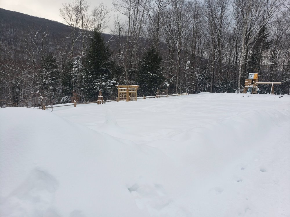
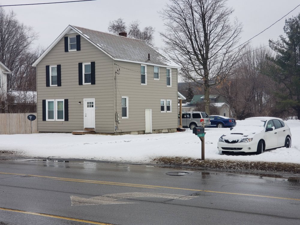
Tale of two valley towns. Crazy how much of a pit Bennington can be at times. Had to zip down there today for something. It's only a few hundred feet lower than my house where this pic was and also in same valley really, but pretty stark differences. Seemed like they did end up picking up a few inches yesterday though, depth was around 7" there. Bennington Home..
-
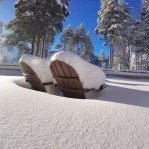
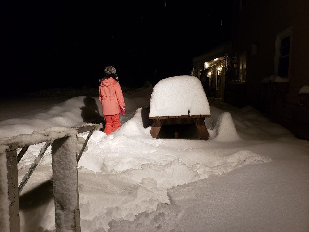
Picnic tables..lol. Only showing this because the past 2 winters never really had more than a few inches on this at any point in time. So many windy crappy events with rain mixed or cutters in between. So many calm events this winter, being so tucked in on the western slopes certainly prone to some high wind events out the E/SE, but just not many this year.
-
Yea, it was great. Classic SW/S upslope- Albany only had .03" in the bucket today and DDH had .11". Both were blowing out of the south pretty good during the meat of the precip while it was calm here. Mesos were showing this pretty well for a few days, but don't think the weeniest of mesos had .70" of precip here.
-
Got .70" LE on my 6.6". Hmmm, might need to do another one. Seems pretty low ratio, but flakes were small most of day even though it was pounding.
-
Feb 22 Minor snow and rain event
backedgeapproaching replied to HoarfrostHubb's topic in New England
Finally got around to a measurement--- 6.6". Still some decent flakes coming down--somewhat of an overachiever. 29F with some -SN still falling. Great event here locally, looks great out there. -
Yea, I know you guys have had some decent events on SW winds especially with help off Ontario, seems forcing is just a bit further south on this one maybe? BTV and ALB both are pits on SW/S winds. Yep, Southern Adirondacks get crushed on this SW/S winds--that is true bread and butter for them. Look at the topo map you can see how they would crush it in this flow.
-
Yea, I know Ginx was giving you a hard time in the main threads, but it has been pretty quiet up that way for a few weeks, your elevation and latitude will help moving forward.
-
Kind of sucks that SW flow uplsope is kind of the bread and butter here as that doesn't exactly scream deep winter pattern, but certainly producing today. I think 17-18 had a bunch of these hence the big season totals, along with the ridiculous March 18 bombs.
-

Feb 22 Minor snow and rain event
backedgeapproaching replied to HoarfrostHubb's topic in New England
Definitely been in and out of heavy snow, but snow growth hasn't been outrageous. But visibility way down most of the day, but not some monster dendrites. Prob 12:1 maybe? Deep winter still going...for now at least. Temp rising slowly. -

Feb 22 Minor snow and rain event
backedgeapproaching replied to HoarfrostHubb's topic in New England
SW/S winds probably the only direction that isn't great there. If your going to downslope, that's the wind to do it on--not going to lose out on much over the course of a winter most of the time. -

Feb 22 Minor snow and rain event
backedgeapproaching replied to HoarfrostHubb's topic in New England
Looks like 3-3.5" here just eyeballing--no wind and sticking to everything. Oscillating between S+ and SN. Radar looking good for the Cadavers and Resorts in SVT. -
Yea, your right. DDH traffic cams still show nothing. Its pounding over near Searsburg VT and even up by Bromley which is under much weaker echoes to my NE. DDH obs show gusts near 25 too blowing form the south. Its been said a million times, but that area from DDH over across the border to Hoosick Falls NY is one of the worst snow spots in NE relative to their elevation. Obviously the cape and coastal RI, etc are worse numbers wise. A lot of spots in SNE average less really than DDH.
-
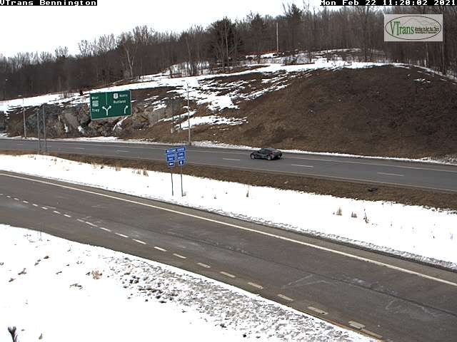
Also, that radar looks like it should be S+ in Bennington, but traffic cams show nothing. Must be skipping over them as it's almost Mod SN here now.


.gif.4e7fa68c5c440ceb24a8c1149d54d696.gif)
