

ILSNOW
-
Posts
1,433 -
Joined
-
Last visited
Content Type
Profiles
Blogs
Forums
American Weather
Media Demo
Store
Gallery
Posts posted by ILSNOW
-
-
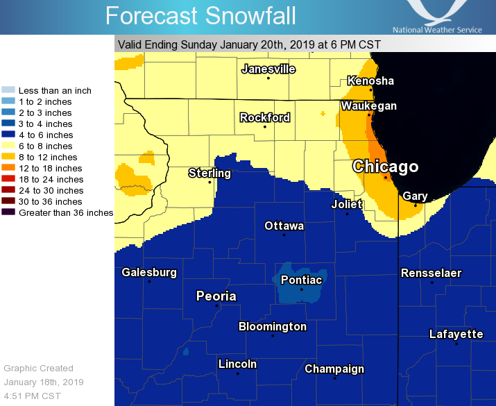
National Weather Service Chicago/Romeoville, IL
814 PM CST Fri Jan 18 2019

.UPDATE...
814 PM CST

For Evening Update...

No significant changes to character of going forecast this
evening. Did make some slight mods to depict a somewhat slower
start to snow in some areas, especially south/southeast parts of
the forecast area. Overall however, no changes to general snow
amounts or headline configuration were made, though actual snow
amounts may shade toward the lower end of forecast ranges for most
of the area.

Initial band of moderate snow developed from southeast
MN/northern IA into far northern IL this afternoon, slightly north
of what guidance had depicted 24 hours ago. This has limited
accumulating snow mainly to the northern tier of IL counties along
the WI border through early evening, while keeping things
relatively precipitation free across much of the cwa. Regional
radar mosaic does depict snow beginning to increase in coverage
from eastern IA into northwest IL as of 8 pm however, and high-res
guidance indicates this trend will continue across much of
northern IL along/north of the I-80 corridor over the next couple
of hours as low and mid-level frontogenetic forcing develops and
strengthens. Have adjusted hourly pop/wx grids accordingly and
lowered QPF a bit in spots where snow hasn`t occurred yet, though
with little overall change to expected snow amounts as the height
of the storm is still to come overnight and Saturday morning. By
the time snow tapers off Saturday morning and early afternoon,
amounts still look to range from 5-8" along and north of the I-88
corridor across northern IL, to 3-7" south and southeast of I-88.
Surface pressure falls of 1-2 mb per 3 hours across the
Mississippi are indicative of a tightening of the surface pressure
gradient, with northeast winds beginning to gust into the 20-25
mph range at times in some spots. Winds will continue to ramp up
late tonight and Saturday, leading to blowing and drifting as snow
accumulates.

With storm just getting underway, no other sig changes made
outside of aforementioned tweaks.

Ratzer
-
really hitting eastern lake county hard

-
7 minutes ago, toddrix1977 said:
LOT is still being very aggressive with their storm totals near the lake. This includes lake effect.
Would love to see happen but don’t see it
-
LOT Aviation
have made some slight timing adjustments to the going forecast,
but in general, there is little change to the general scenario.
Latest radar imagery indicates some weak echo overspreading nwrn
IL, but this is elevated and any falling snow is evaporating
before hitting the ground since low levels are initially
relatively dry. Expect that snowfall rates should ramp up quickly
by arnd 01-02z. The period of heaviest snow should be durg the
late evening hours and continue overnight. Have gone with a
prevailing 1/2sm as snowfall rates and wind speeds increase. There
will likely be periods with rates of 1 inch per hour and short
periods with rates of 2-3 inches per hour with vis of 1/4sm or
less should any heavier small scale banding develop and mover over
the terminals. Given low confidence in timing, location and
residence time of any narrow banding, have not included in the
TAFs at this time, but these lower conditions remain a
possibility. As the more significant snowfall begins, also expect
that cigs should lower rapidly to ifr or lifr levels. Liquid to
snow ratios should start out near climatologically normal levels
and snow type with not be particularly wet or dry, but as colder
air moves into the region by early tomorrow morning, liquid to
snow ratios will increase and the potential for blowing and
drifting snow will become a concern. So, while snowfall rates are
expected to diminish by arnd daybreak, visibility should remain in
ifr levels due to blowing snow more so than falling snow.
-
 2
2
-
-
-
-
-
18Z GFS back to going crazy on Tuesday
-
1
-
-
Just now, Hoosier said:
Keep an eye on that initial fgen band streaking eastward. In my experience, those things overperform more often than not, especially if there's some instability aloft.
Great point Izzi just mentioned that in KLOT update
-
-
8 minutes ago, HillsdaleMIWeather said:
The GEM is probably the most amped it's ever been on this system

-
-
that thursday system kills us. Still a nice signal for LE however.

-
GFS FV3 still north

-
4
-
-
Nice eye candy includes that weekend storm and snow and lake effect snow for Chicago on that Tuesday

-
1
-
-
9 minutes ago, janetjanet998 said:
12z GFS direct hit for N IL..nice lake enhancement then true LE later too for IL/IND border with 850mb temps crashing to -20
bad news: its the GFS so nothing will happen
GEM as well 1 day later

-
2
-
-
same here in Buffalo Grove nice dusting pretty quickly.
-
1
-
-
you can dream

-
 2
2
-
-
about to be temporarily dry sloted got about 1-1.5 inches from the band.
-
18z nam going to town northern cook and lake county

-
1
-
-
-
Snow now mixing in standing at 35 degrees
-
-
National Weather Service Chicago/Romeoville, IL
958 AM CST Sat Nov 24 2018

.UPDATE...
944 AM CST

While we are still waiting on the GFS and ECMWF 12z runs, several
of the near term models are attempting to hone in on the axis of
heaviest snow and strong winds on Sunday. The general consensus to
this point has been through an axis northwest of Chicago. While
this is still generally the case, especially given the thermal
profiles, the latest NAM, the ECMWF (numerous runs to this point),
and some of the WRF NMM/ARW models suggest an axis between I-90/88
and I-80 could certainly be the favored corridor.

Once rain changes over to snow, it will likely be coming down
very hard, so in spite of the marginal surface temperatures to
start, snow once it starts to fall will rapidly accumulate with
heavy, wet slushy snow. While exact transition times are up in
the air, travelers should be prepared from mid morning northwest
to early to mid afternoon across portions of the Chicago metro,
for a quick transition/deterioration, given the challenges on
exact transition/Snow onset time.

In addition, strong winds will eventually accompany the heavy
snow, so even with snow amounts in question, heavy snow rates and
strong winds will make for very hazardous travel on a busy travel
day. Given the signal for a possibly farther south corridor, we
have expanded the Winter Storm Watch to include a tier of counties
farther south and east with this morning update. These counties
start and end a bit later than the counties farther west.
-
1
-


Winter Storm? Jan 18-19th, 2019
in Lakes/Ohio Valley
Posted
MKE on the LE