

mryanwilkes
-
Posts
59 -
Joined
-
Last visited
Content Type
Profiles
Blogs
Forums
American Weather
Media Demo
Store
Gallery
Everything posted by mryanwilkes
-
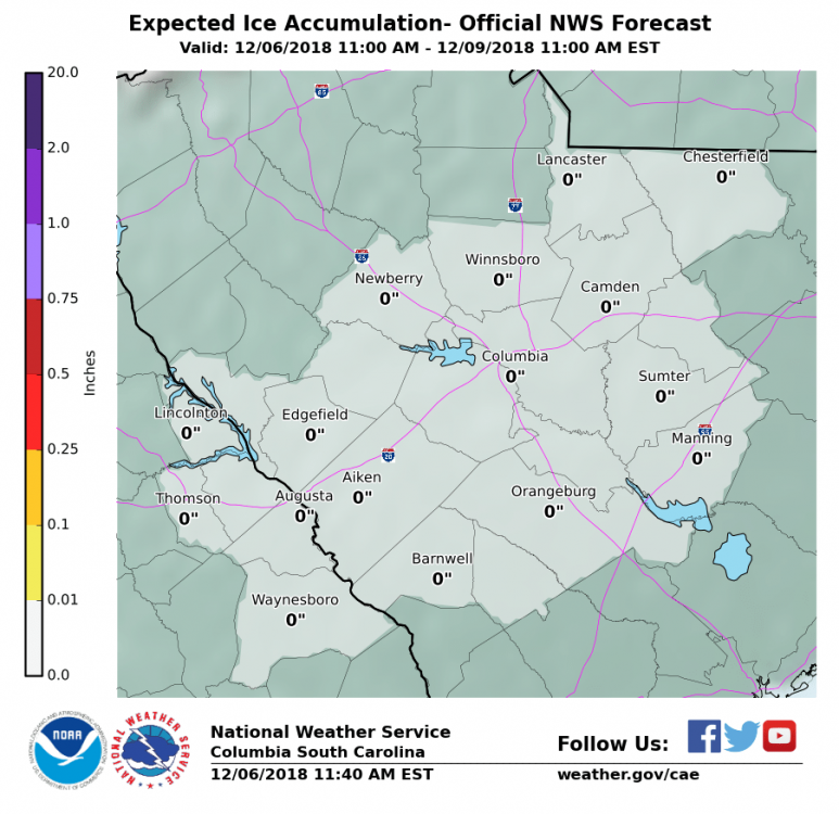
CAE is saying that there's not even a chance for ice. Wouldn't have expected that for Winnsboro and the north midlands.
-
It's still in beta stage and likely being tweaked.
-
Basically, it means "further south." In terms of latitude, the high pressure system to the north keeps the low pressure system (the moisture) from going further north.
-
E4 is drunk.
-
It's strange to me to see these northern midlands (SC) totals modeled, when the 3-hour loop of the model does not show a snow/sleet line reaching down this far.
-
Do you have a link?
-
Sorry, as I know this is off topic... There used to be a thread that included radar / satellite imagery links, but I can no longer find it. Does anyone know where that is offhand? Thanks!
-
Southeast Sanitarium - A Place to Vent
mryanwilkes replied to Jonathan's topic in Southeastern States
So, who ended up winning the Benjamin? -
Weather References and Newbie Information
mryanwilkes replied to burgertime's topic in Southeastern States
What is 5H, exactly? Even my buddy google isn't helping me out with this one... -
I'm driving from Lake Murray, SC to Bryson City, NC for my daughter's birthday (to ride the Polar Express) this weekend. Looking more and more like we may get an authentic experience.


